


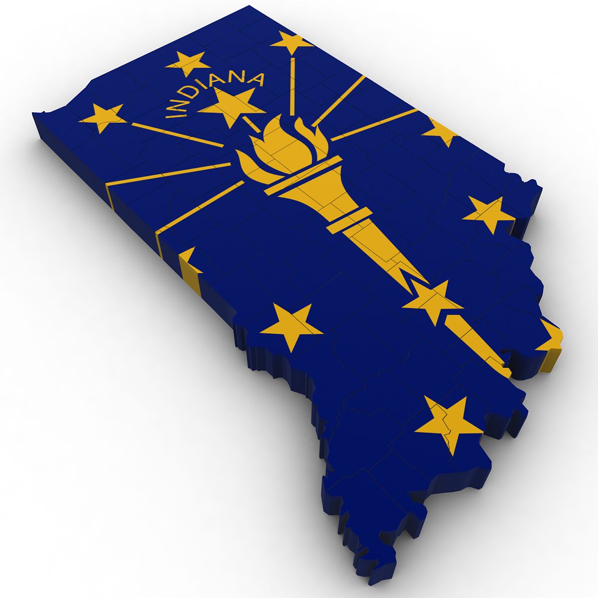
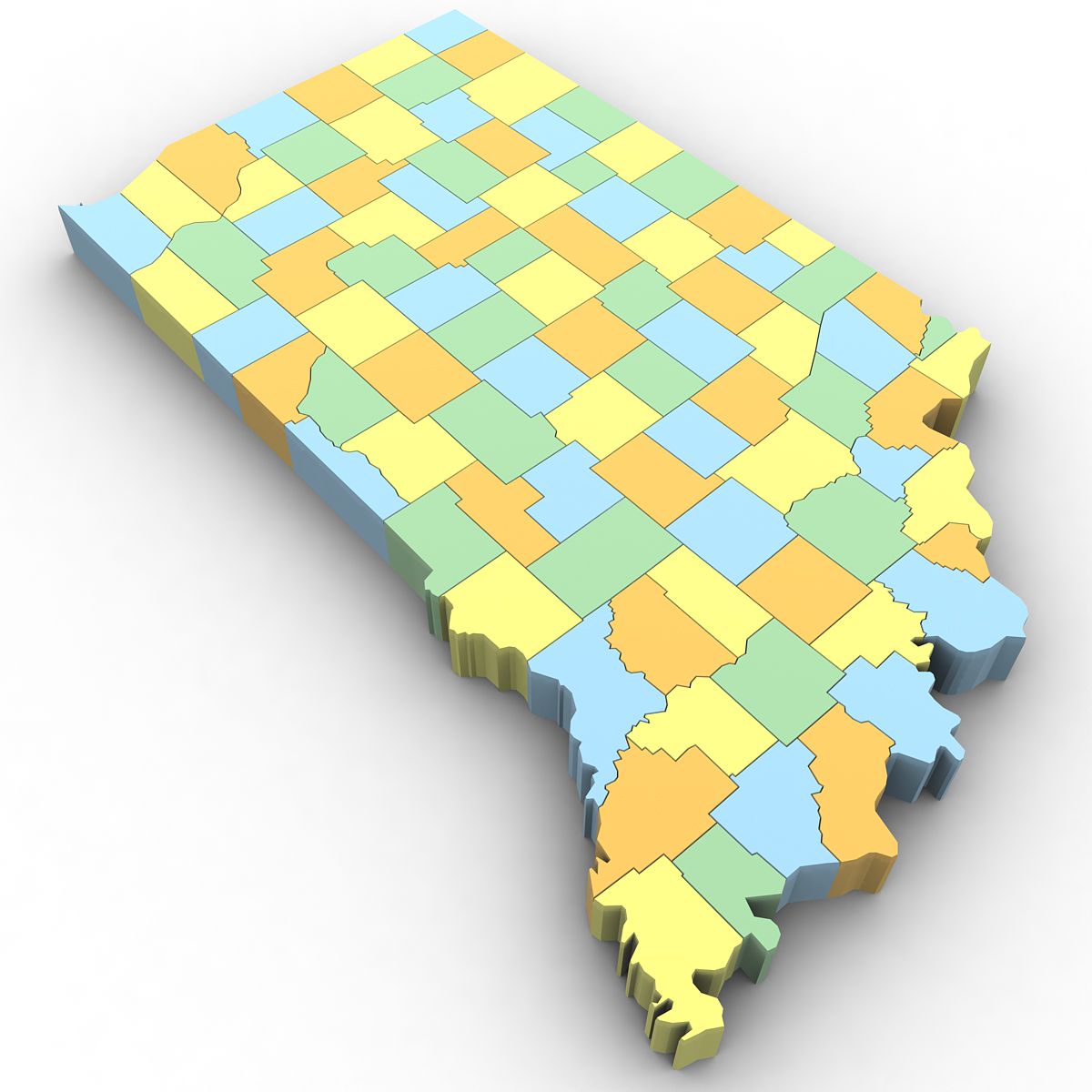
Politische Karte von Indiana 3D-Modell
0


Royalty Free LicenseAlle erweiterten Anwendungen
Einfache Rückgabe
Best-Preis-Garantie
Funktioniert aus dem Kasten heraus
0
Besuche
Eingereicht von
Plutonius3d
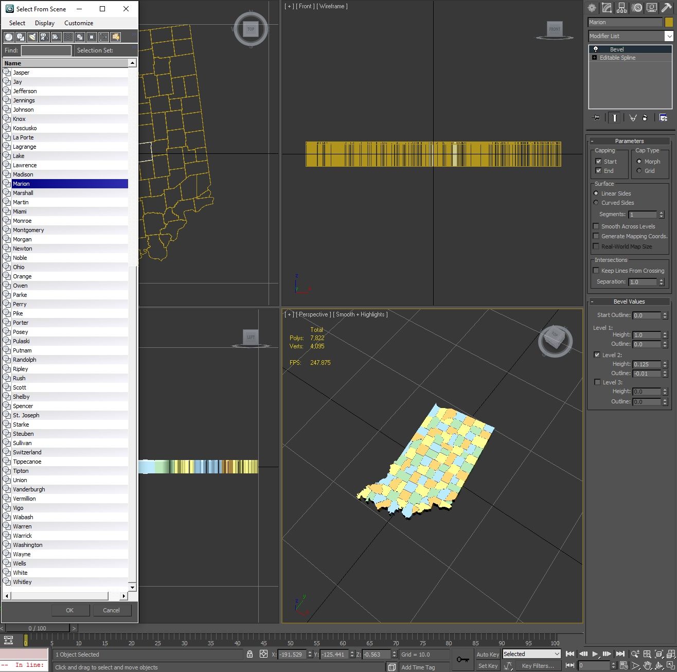
Spezifikationen
- Geometriepolygonal
- Polygone7,822
- Scheitelpunkte4,095
- TexturenYes
- ManipuliertenNo
- AnimiertNo
- Bereit zum Drucken in 3DNo
- Spielbereit (low poly)No
- UV-kartiertYes
- Unverpackte UVsmixed
Beschreibung
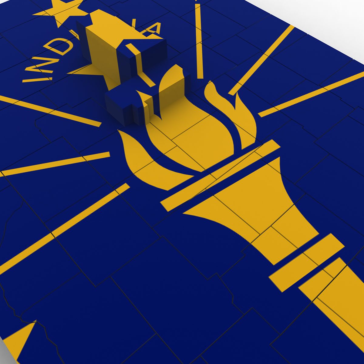
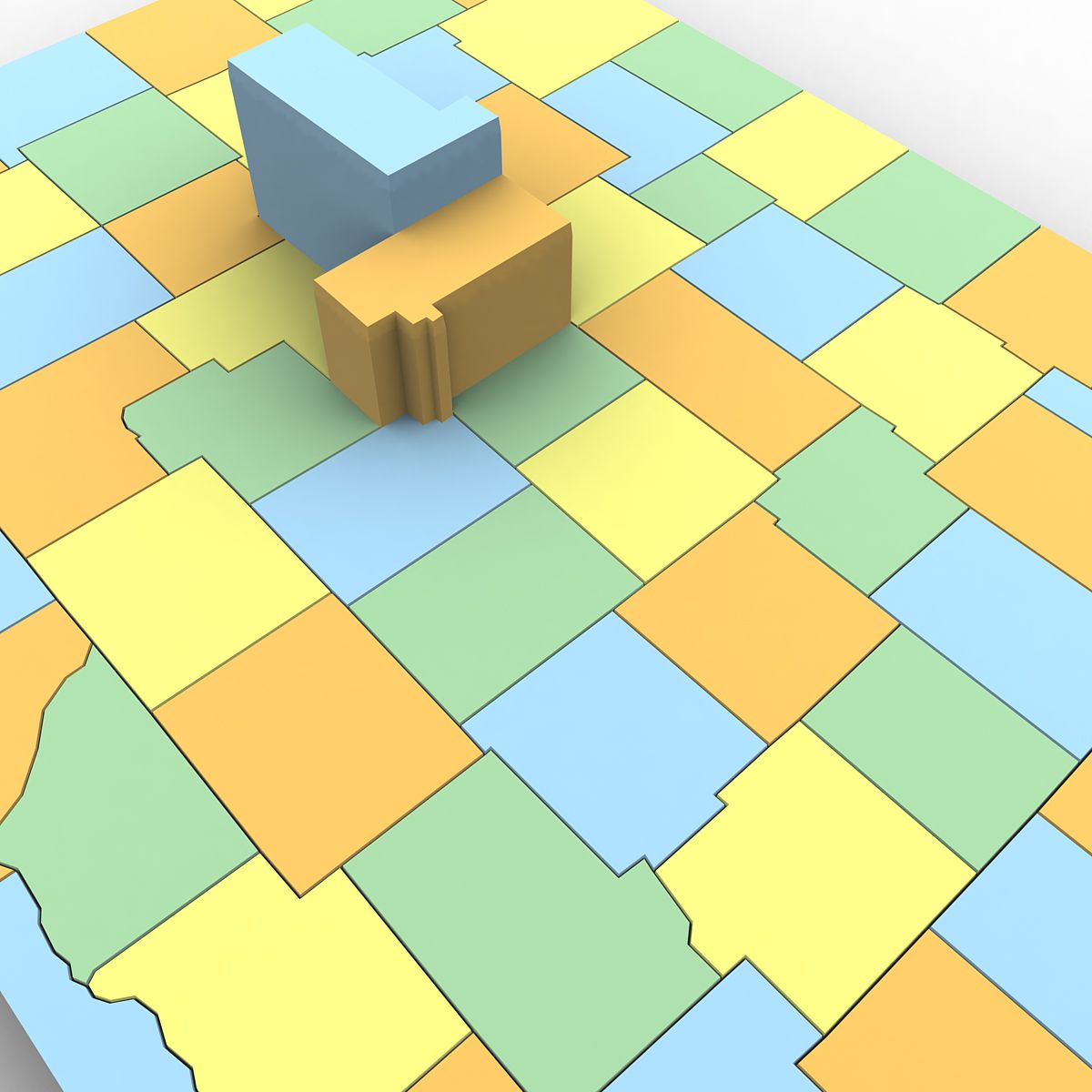
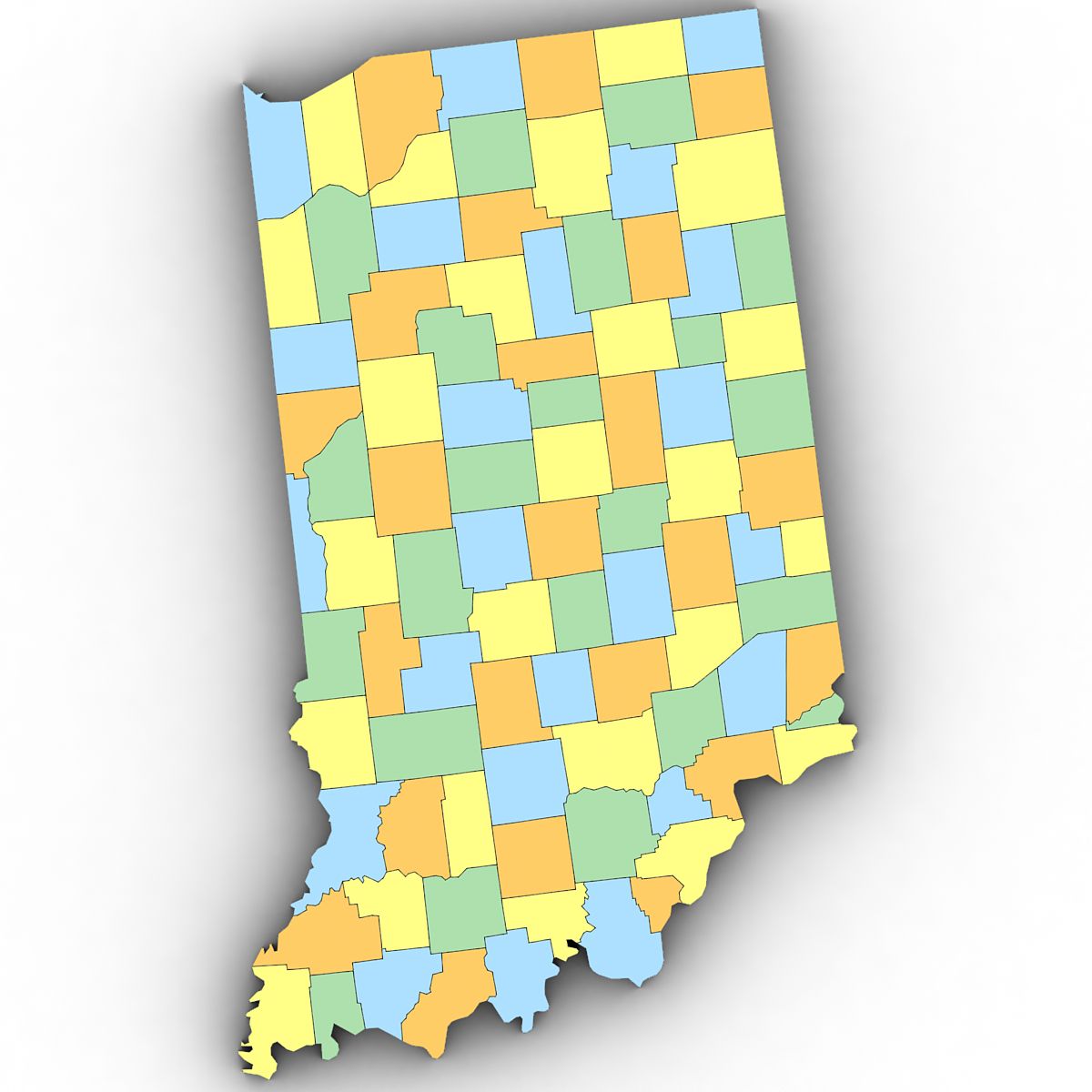
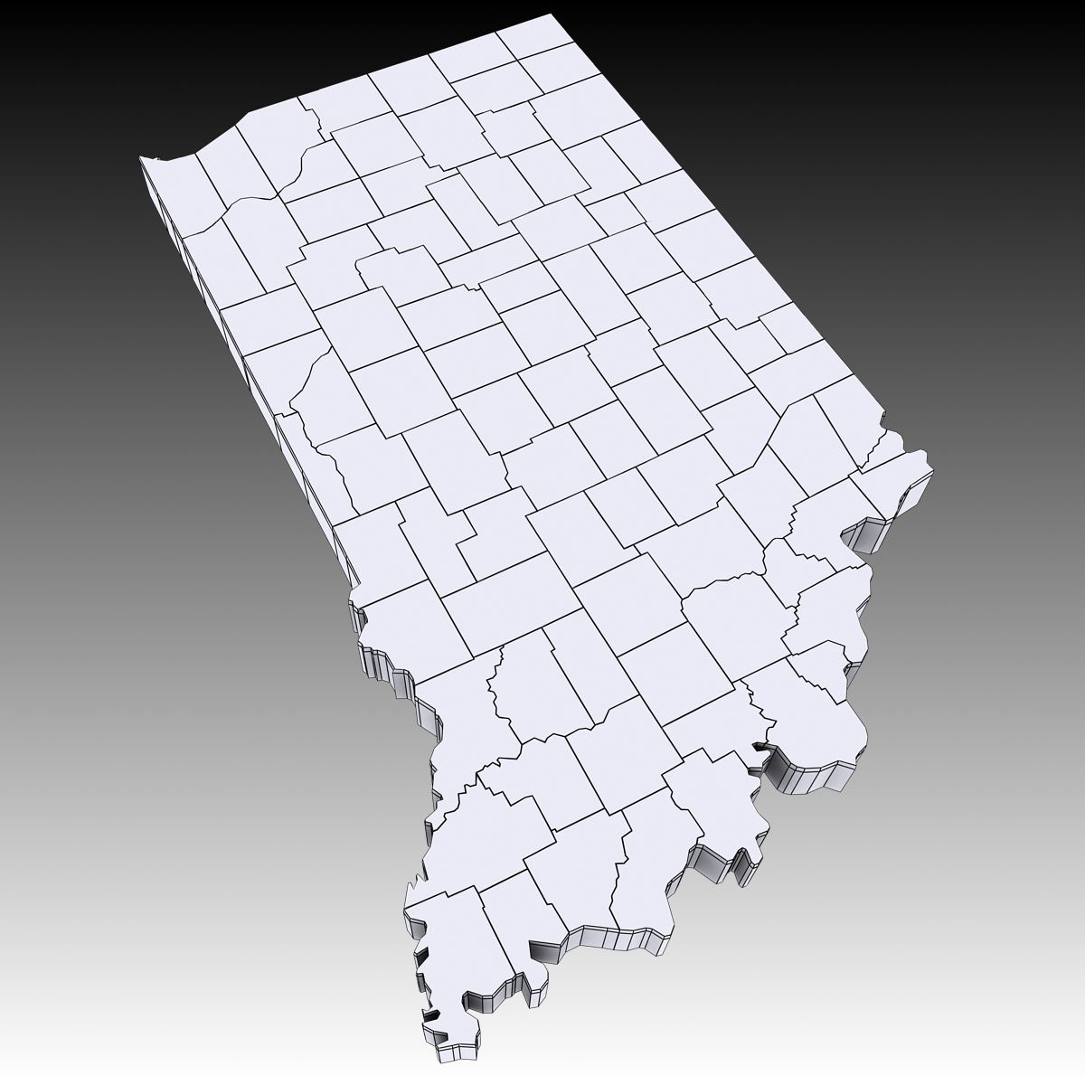
3d Model of the Political Map of Indiana. Features every county in the state. The modifier stack is uncollapsed allowing for easy change of extrusion settings.
Nov 13, 2021
Datum hinzugefügt
Feb 15, 2022
letztes Update
Bewertungen
Es liegen noch keine Bewertungen für dieses Produkt vor.
Warum nicht der erste sein, der das Eis bricht?