-->
Die ArchitekturFahrzeugeZeichenFlugzeugMöbelElektronikTierePflanzenWaffenSportLebensmittelAnatomie
Vorgemerkt
Lesezeichen entfernt

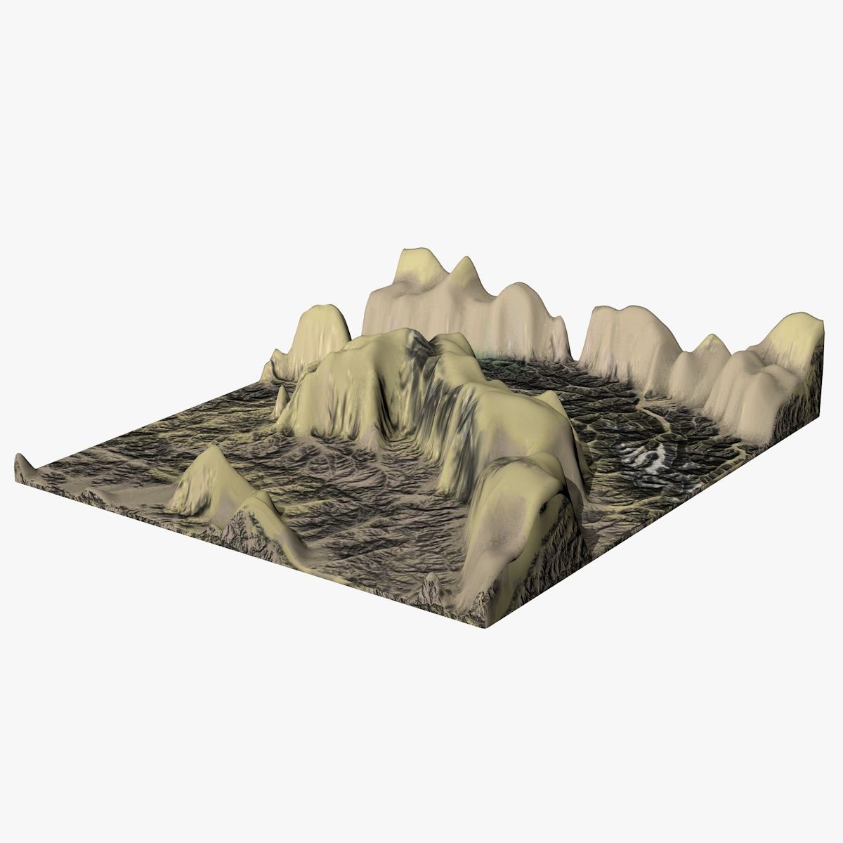
südamerikanische Landschaft 3D-Modell

0
südamerikanische Landschaft royalty-free 3d model - Preview no. 1
südamerikanische Landschaft royalty-free 3d model - Preview no. 2
südamerikanische Landschaft royalty-free 3d model - Preview no. 3
südamerikanische Landschaft royalty-free 3d model - Preview no. 4
südamerikanische Landschaft royalty-free 3d model - Preview no. 5
südamerikanische Landschaft royalty-free 3d model - Preview no. 6
südamerikanische Landschaft royalty-free 3d model - Preview no. 7
südamerikanische Landschaft royalty-free 3d model - Preview no. 8
südamerikanische Landschaft royalty-free 3d model - Preview no. 1
südamerikanische Landschaft royalty-free 3d model - Preview no. 2
südamerikanische Landschaft royalty-free 3d model - Preview no. 3
südamerikanische Landschaft royalty-free 3d model - Preview no. 4
südamerikanische Landschaft royalty-free 3d model - Preview no. 5
südamerikanische Landschaft royalty-free 3d model - Preview no. 6
südamerikanische Landschaft royalty-free 3d model - Preview no. 7
südamerikanische Landschaft royalty-free 3d model - Preview no. 8
Royalty Free LicenseAlle erweiterten Anwendungen
Einfache Rückgabe
Best-Preis-Garantie
Funktioniert aus dem Kasten heraus
6 Besuche
Architectural Intelligence

Spezifikationen

  • Geometriepolygonal_quads/tris
  • Polygone52,767
  • Scheitelpunkte28,343
  • TexturenYes
  • ManipuliertenNo
  • AnimiertNo
  • Bereit zum Drucken in 3DNo
  • Spielbereit (low poly)No
  • UV-kartiertYes
  • Unverpackte UVsnon-overlapping

Formate & Dateien

Blender
(.blend)
136 MB

blend.rar
FBX
(.fbx)
137 MB

fbx.rar
OBJ
(.obj)
108 MB

obj.rar

Beschreibung

South amercian landscape 3D model this is a landscape in the middle of south america. In the North of Chile an area called Parinacota. the diffuse texture map has a resolution of 13500*8500 this is very high, so you need good graphics card and ram to render this landscape. In the preview renders i used a 50 percent resolution of the big one because my graphics card was not up to it. FBX and OBJ formats have been tested in 3D max 2014 so you will have no problems with importing. the model geometry is geologically accurate according to satelite data.
Nov 18, 2019 Datum hinzugefügt
Oct 01, 2022 letztes Update

Bewertungen

Es liegen noch keine Bewertungen für dieses Produkt vor.
Warum nicht der erste sein, der das Eis bricht?