


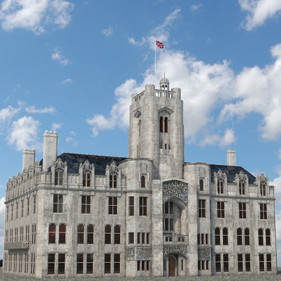


Vereinigtes Königreich Tagebau 3D-Modell
0


Royalty Free LicenseAlle erweiterten Anwendungen
Einfache Rückgabe
Best-Preis-Garantie
Funktioniert aus dem Kasten heraus
0
Besuche

Eingereicht von
Sofian Moumene
Spezifikationen
- Geometriepolygonal_quads only
- Polygone34,609,280
- Scheitelpunkte34,683,204
- TexturenYes
- ManipuliertenNo
- AnimiertNo
- Bereit zum Drucken in 3DNo
- Spielbereit (low poly)No
- UV-kartiertYes
- Unverpackte UVsnon-overlapping
Beschreibung
--Geometry--
- Photorealistic High-Resolution 3d model of a minning area in United Kingdom and sorroundings.
- Google Maps Coordinates: 50.372730, -4.858271
- High detail & extra clean mesh geometry
- All important details are made using real 3d geometry
- Suitable for closeups
- Accurate relief made from high resolution Lidar data and satellite textures.
Objects Count: 5
Polygons Count: 34,609,280
Vertex Count: 34,683,204
Polygons with 3 sides: 0 (0%)
Polygons with 4 sides: 34,609,280 (100%)
Polygons with more than 4 sides: 0 (0%)
--Textures--
Extra high resolution for the texture maps
You can see below the resolution and the size in Mb.:
Quarry 1.jpg 9984x5376 (27.4 MB)
Quarry 2.jpg 9984x5376 (30.1 MB)
Quarry 3.jpg 9984x5376 (30.9 MB)
Quarry 4.jpg 9984x5376 (28.9 MB)
--Rendering--
(Lighting / Rendering / File Formats)
Lighting & Render environment setup as seen in the previews is included in the package
Rendered in V-Ray 3.60
Dec 07, 2022
Datum hinzugefügt
Dec 07, 2022
letztes Update
Bewertungen
Es liegen noch keine Bewertungen für dieses Produkt vor.
Warum nicht der erste sein, der das Eis bricht?