



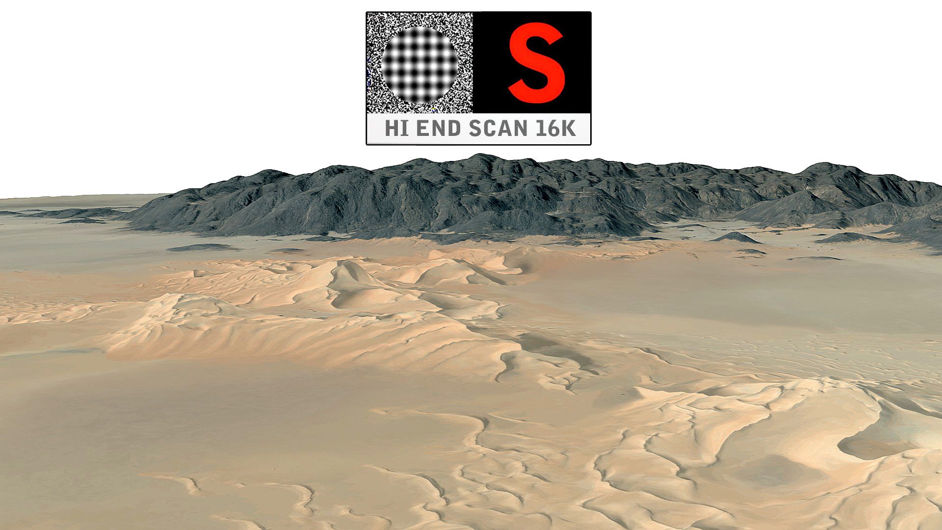



Terreno del área del complejo megalítico de Saqsaywaman modelo 3d
0


Licencia Libre de DerechosTodos los usos extendidos
Devoluciones simples
Mejor precio garantizado
Trabaja fuera de la caja
0
visitas

Presentado por
Gibmation
Presupuesto
- Geometríapolygonal_tris only
- Poligonos313,632
- Vértices157,609
- TexturasYes
- AparejadoNo
- AnimadoNo
- Listo para imprimir en 3DNo
- Juego listo (polietileno baja)No
- Mapeado UVYes
- UV sin envolvernon-overlapping
Descripción
Saqsaywaman overlooks the city below from a steep incline, this megalithic fortified complex has a wide view of the valley to the southeast. Archeological studies of surface collections of pottery at Sacsayhuamn indicate that the earliest occupation of the hilltop dates to about 900 CE.[citation needed]
This is a low res model of the terrain around the Saqsaywaman complex.
This model is suitable for 3D presentations, landscaping, Architectural Visualization, video production, simulation of walk throughs and navigation/gaming.
Should be possible to overlay/project realworld GPS coords using WGS84.
Constructed from GIS contour elevation data from different data sources combined and enhanced with different filters and erosion techniques to produce a real world style likeness.
Terrain tiles have been stitched to produce a single seamless low res model which provides a scale accuracy of about 1:1m.
This Terrain model does not include any buildings, trees or any other similar features - only the terrain model is included.
Apr 22, 2026
Fecha Agregada
Apr 22, 2026
última actualización
Opiniones
Actualmente no hay opiniones para este producto.
¿Por qué no ser el primero en romper el hielo?