


ドイツ行政地図 3Dモデル
0


30
訪問
から提出された
Mihai Panait
仕様
- ジオメトリpolygonal
- 多角形33,110
- 頂点41,282
- テクスチャYes
- 堅いNo
- アニメ化No
- 3Dプリント可能No
- ゲームレディ(低ポリ)No
- UVマップYes
- ラップされていないUVnone
説明
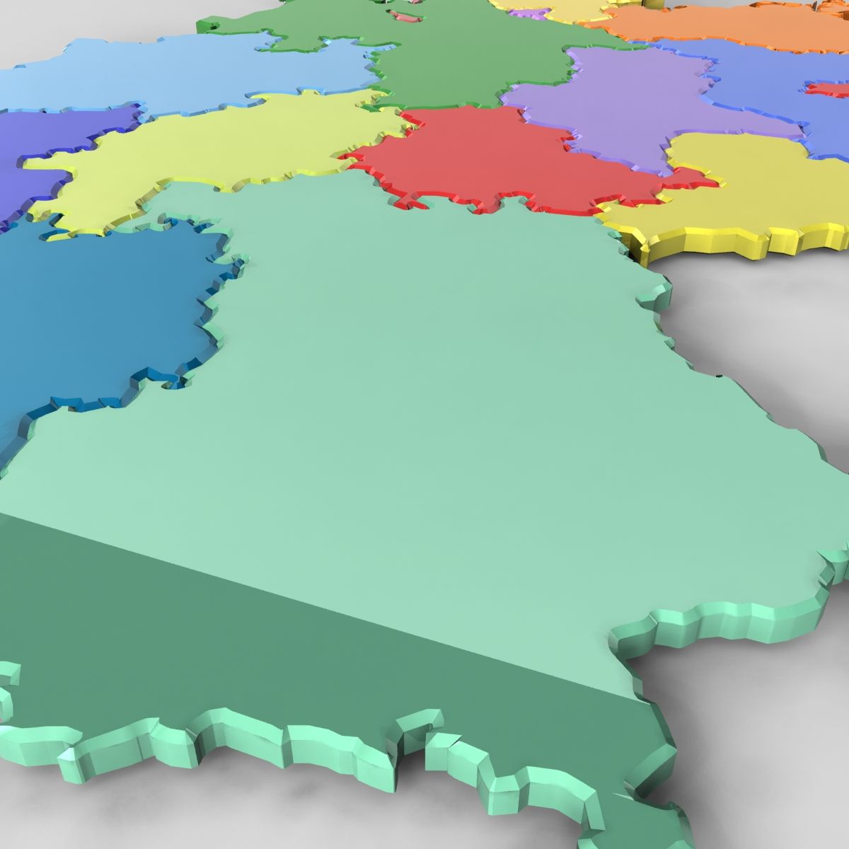
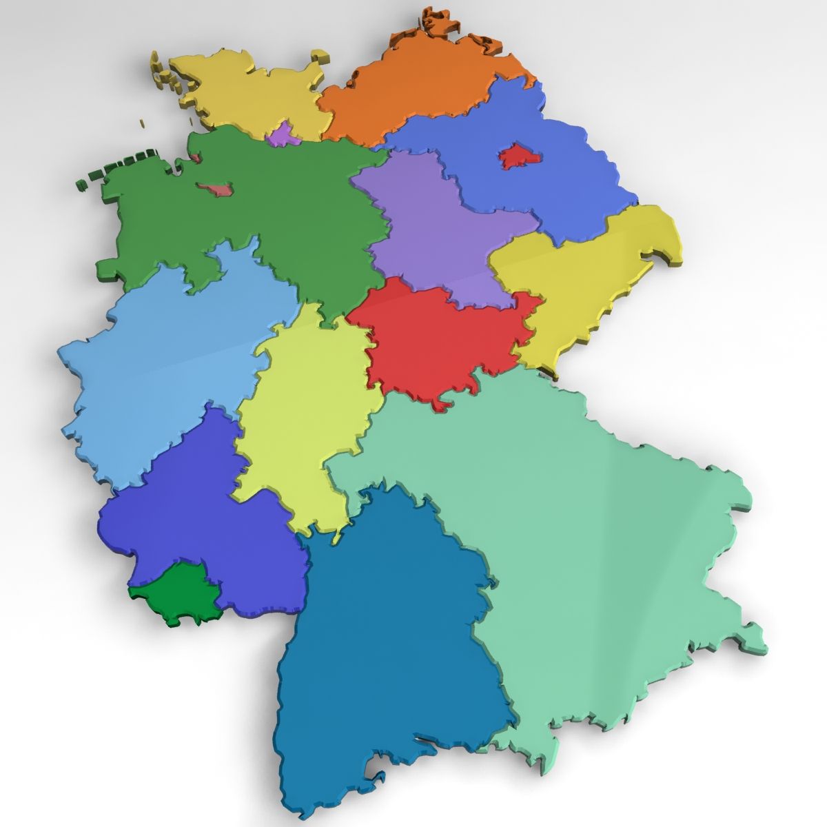
3D Extruded and Beveled Administrative map of Germany.
Modeled in 3DS Max. Exported as Obj and tested and exported as C4D.
Ready to use in your news animations, elections, weather, etc.
Please Rate if you like it.
Oct 20, 2019
追加日
Sep 13, 2021
最後の更新
レビュー
この商品のレビューはまだありません。
氷を砕いた最初の人になろう。