


地盤開発ステーション 3Dモデル
0


0
訪問
から提出された
mzubak
仕様
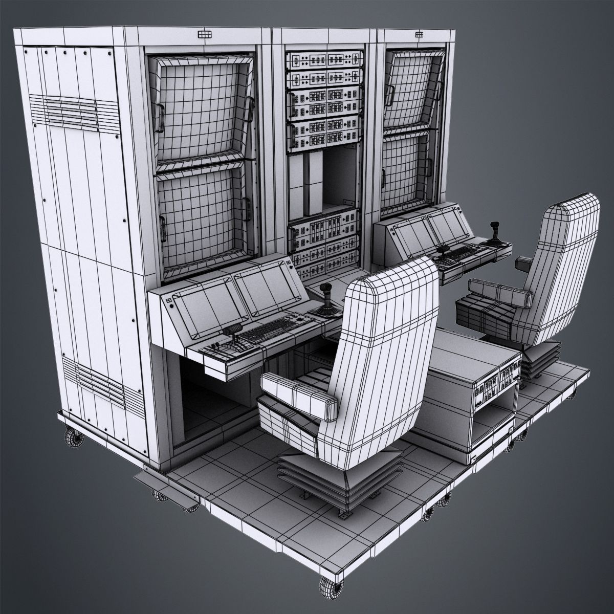
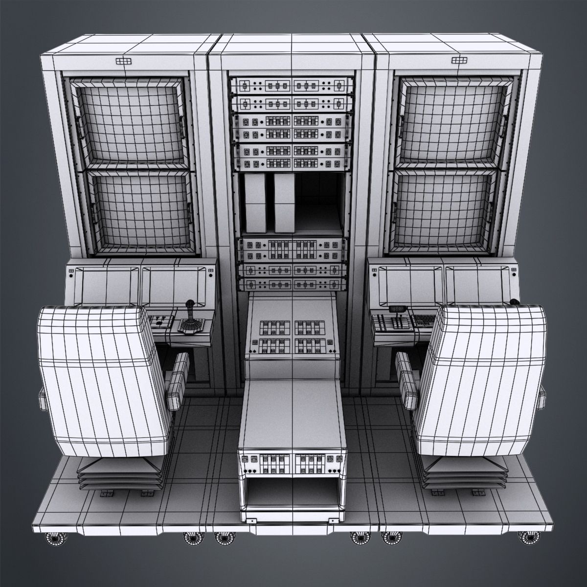
- ジオメトリpolygonal_quads/tris
- 多角形115,884
- 頂点118,056
- テクスチャYes
- 堅いNo
- アニメ化No
- 3Dプリント可能No
- ゲームレディ(低ポリ)No
- UVマップYes
- ラップされていないUVnone
説明
General
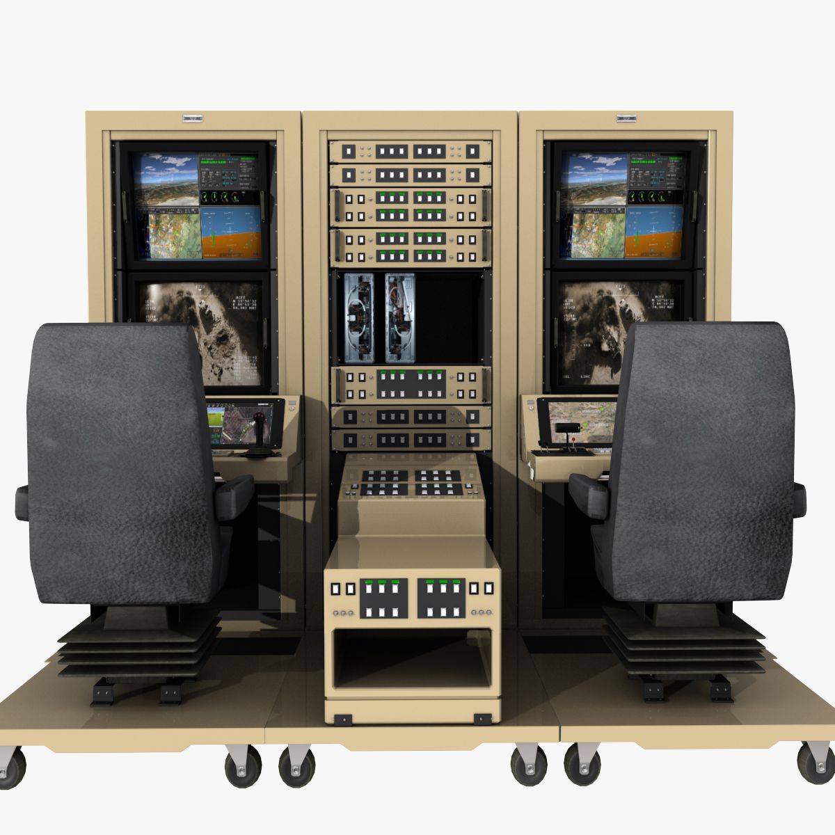
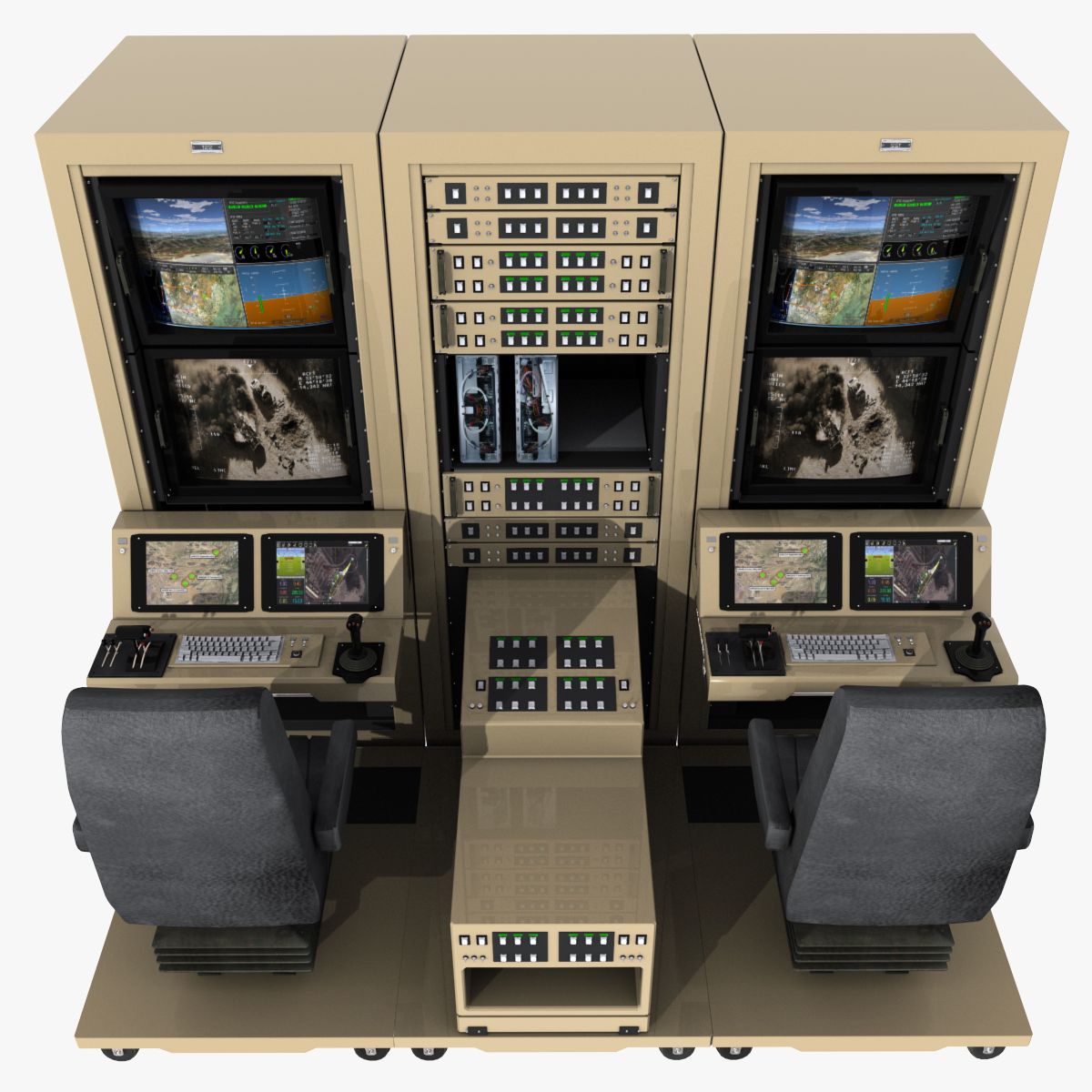
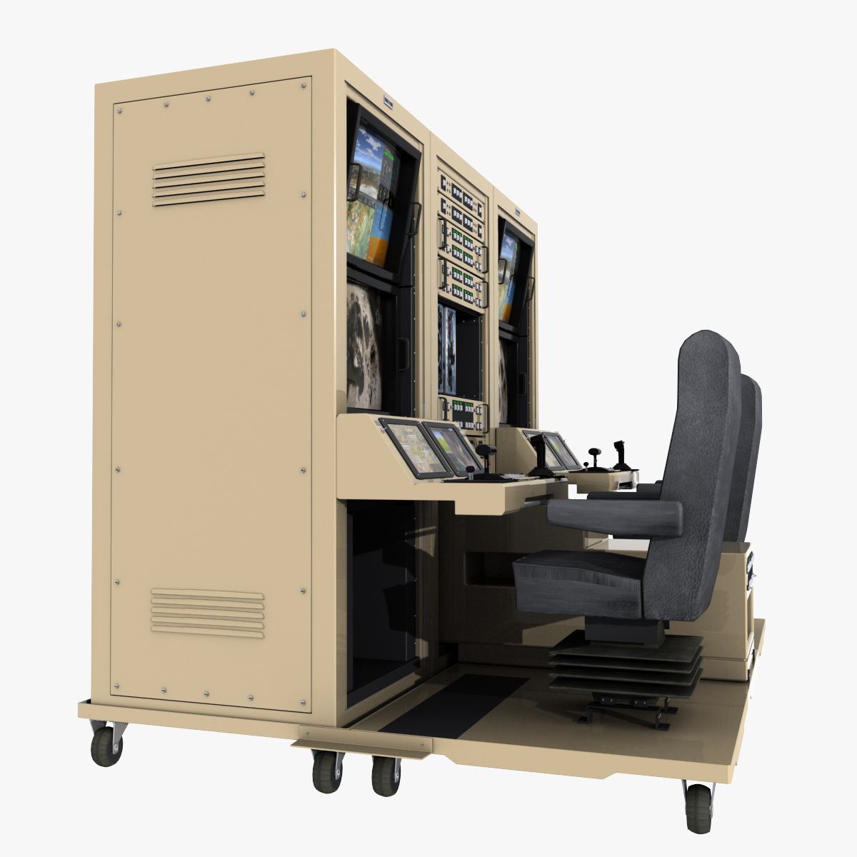
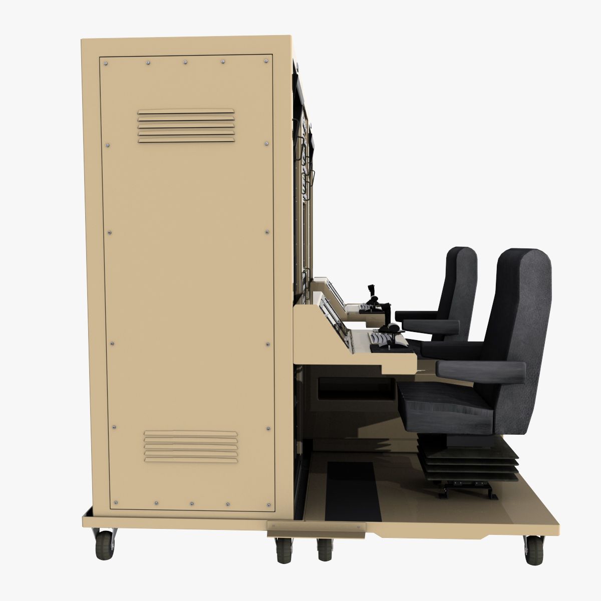
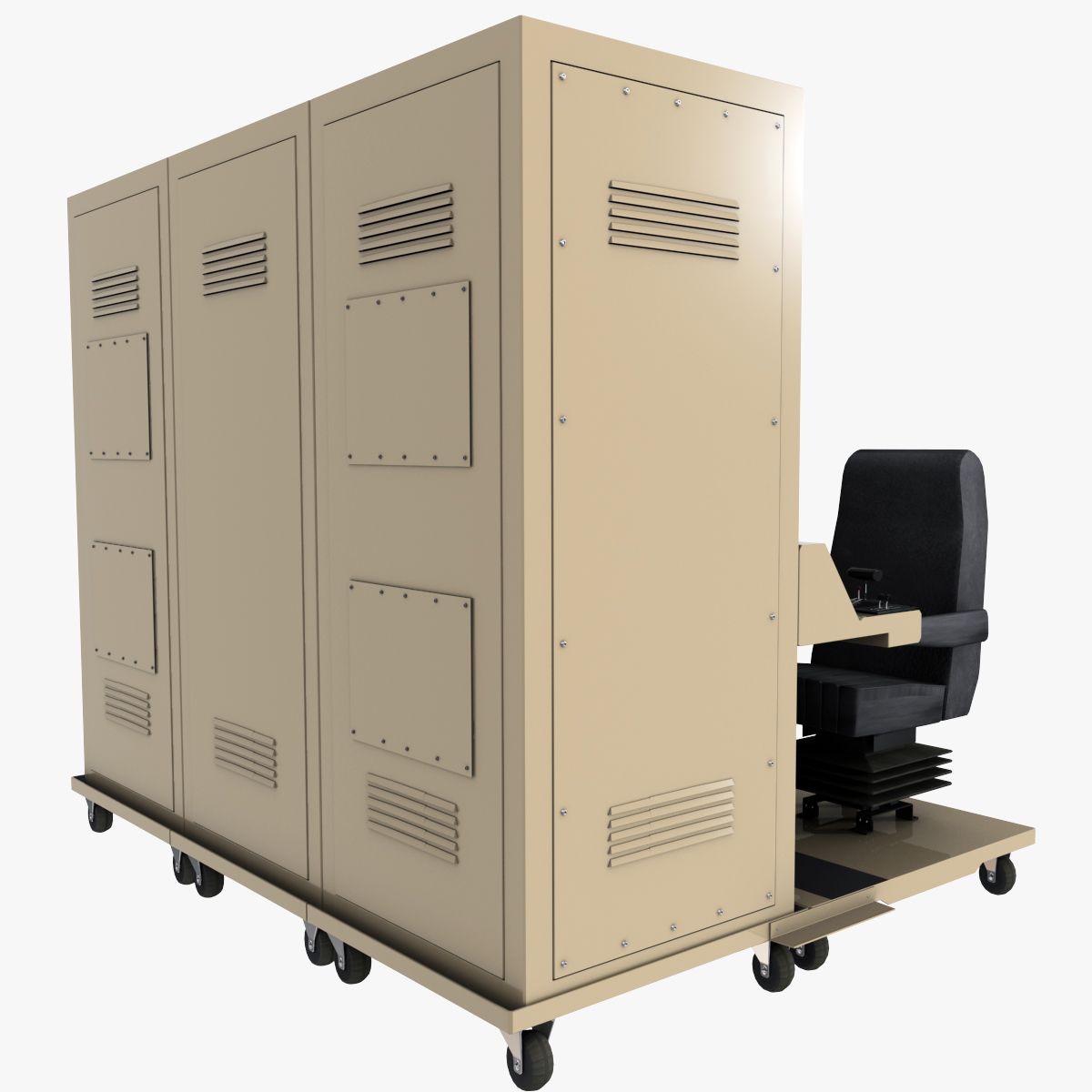
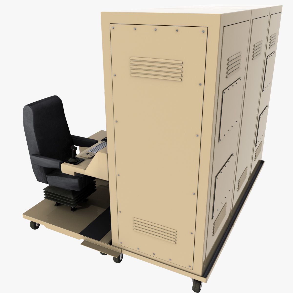
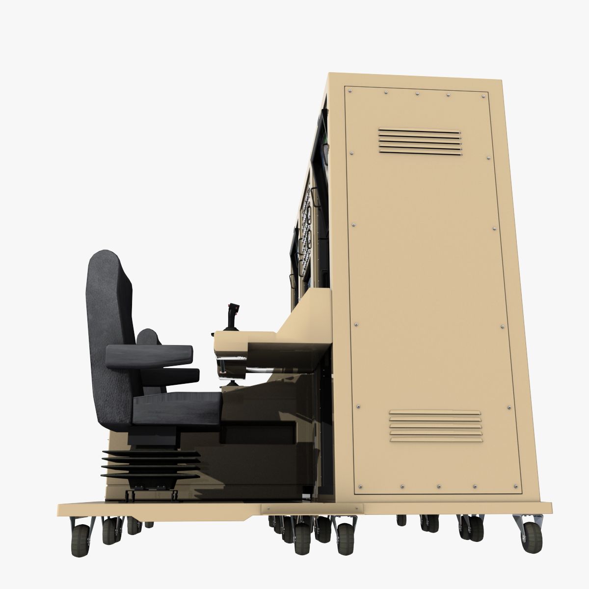
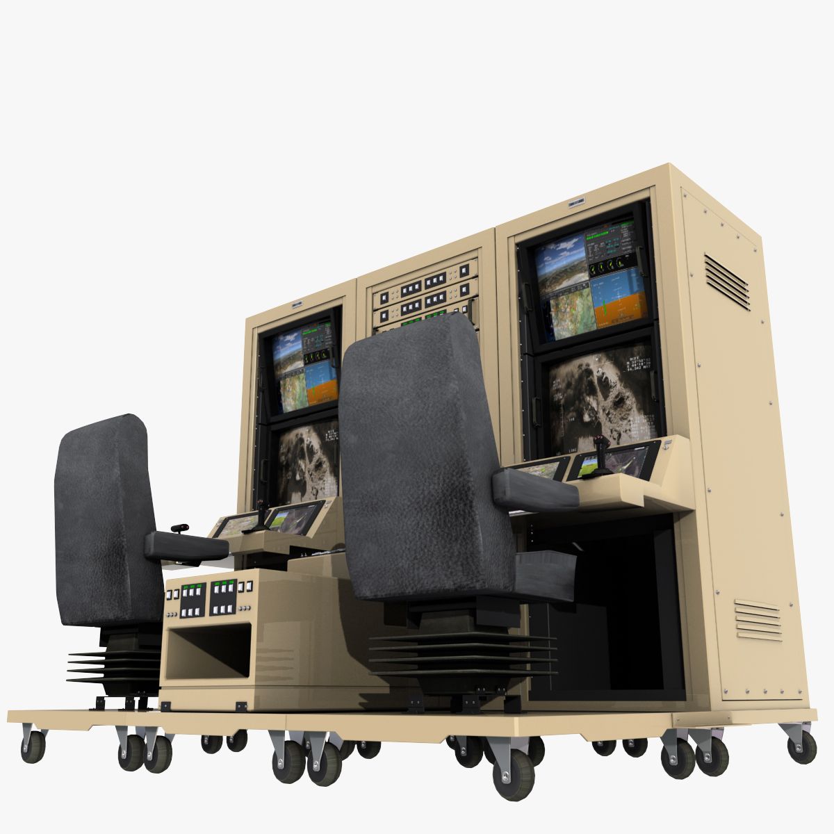
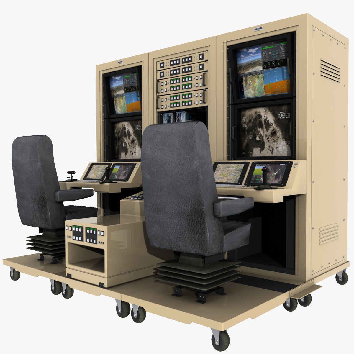
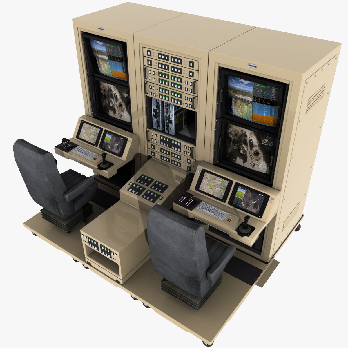
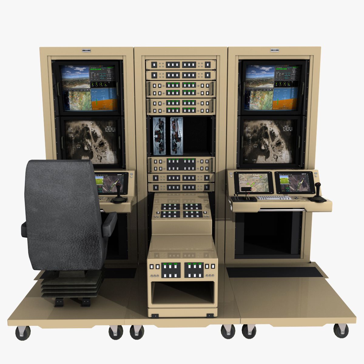
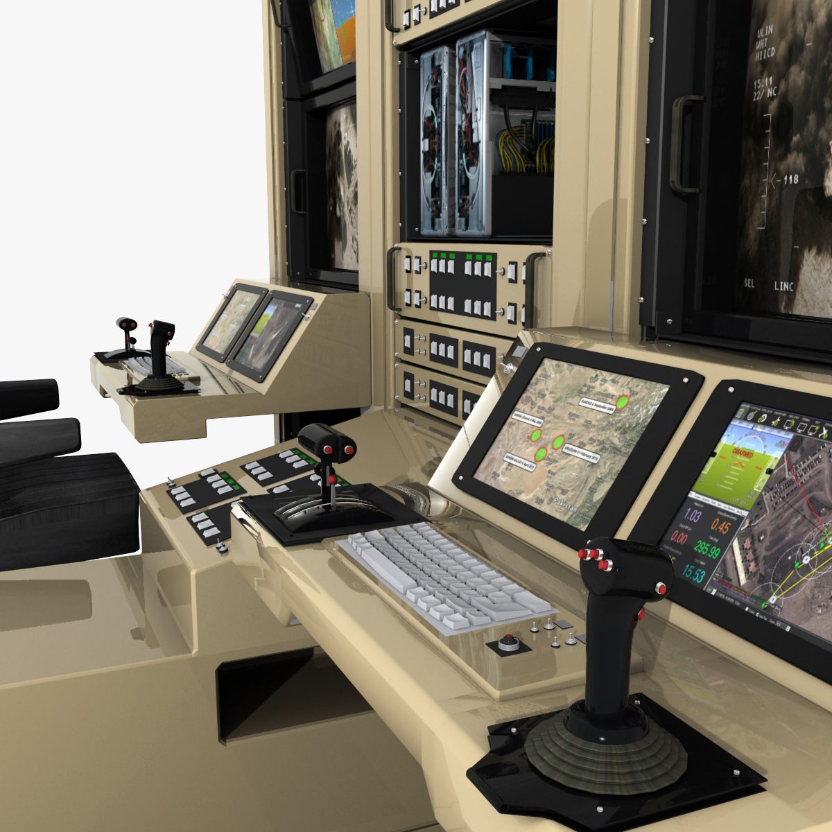
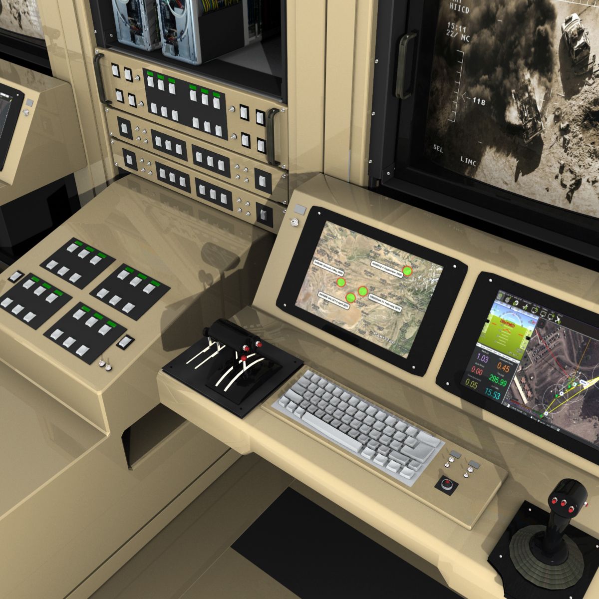
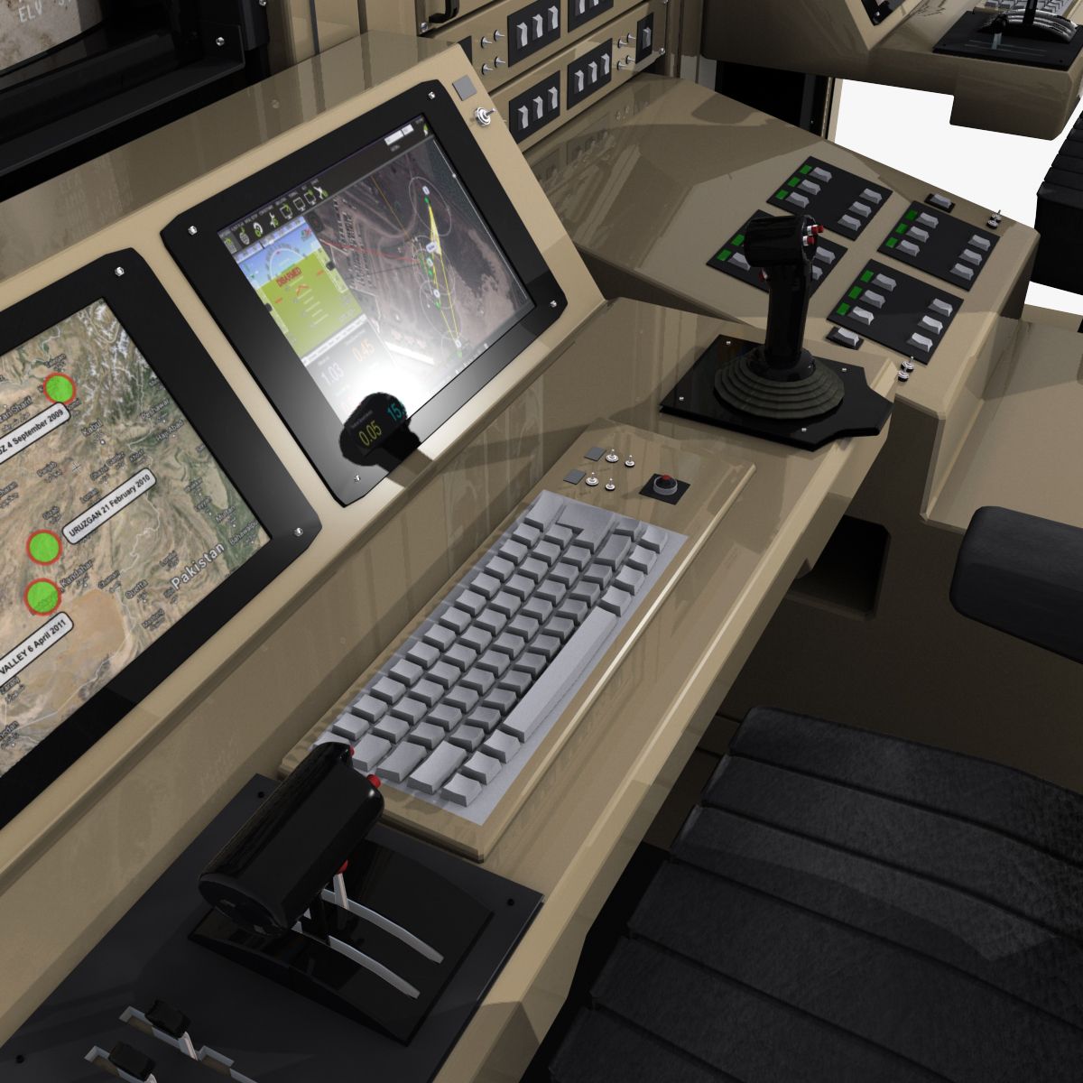
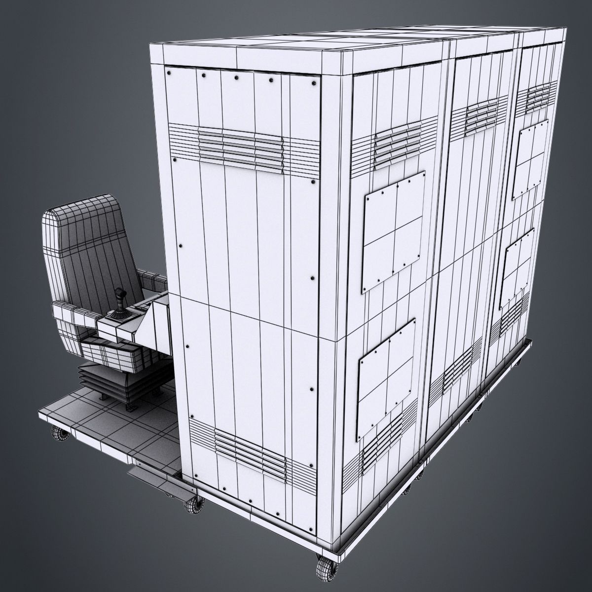
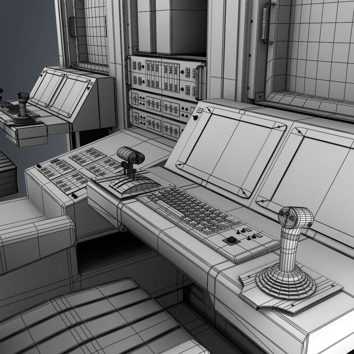
High quality model of drone ground controll station.
Model is made from segments, built with great attention to small details, high exact and realistic proportions with correct geometry. All objects are properly named, with named materials and textures.
Native 3d model format is: 3ds Max 9.0.
Geometry
High level of detail with the best compromise of the number of polygons.
All details have been fully modeled out making the models ideal for closeups and print work.
Geometry: Polygonal Quads/Tris
Model Specifications: Polys: 115870; Verts: 118128
Material and Textures
All objects have UVW mapping projections.
Model used 19*.jpg textures, resolution depends on the importance within the model.
Rendering
Render is done with non-illuminated 3ds Max 9.0 version with standard materials.
Lighting and environment are included in 3ds Max 9.0 version.
Rendered by default, no 3rd Party Plug-ins required to load files or render scene.
Models look like the thumbnails.
Sep 13, 2020
追加日
Aug 01, 2021
最後の更新
レビュー
この商品のレビューはまだありません。
氷を砕いた最初の人になろう。
