


イランのアニメーションフラグ付き詳細地図 3Dモデル
0


27
訪問
から提出された
mageedalzaide
仕様
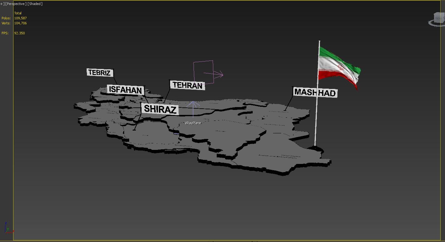
- ジオメトリpolygonal
- 多角形109,587
- 頂点104,706
- テクスチャNo
- 堅いNo
- アニメ化Yes
- 3Dプリント可能No
- ゲームレディ(低ポリ)No
- UVマップYes
- ラップされていないUVnone
説明
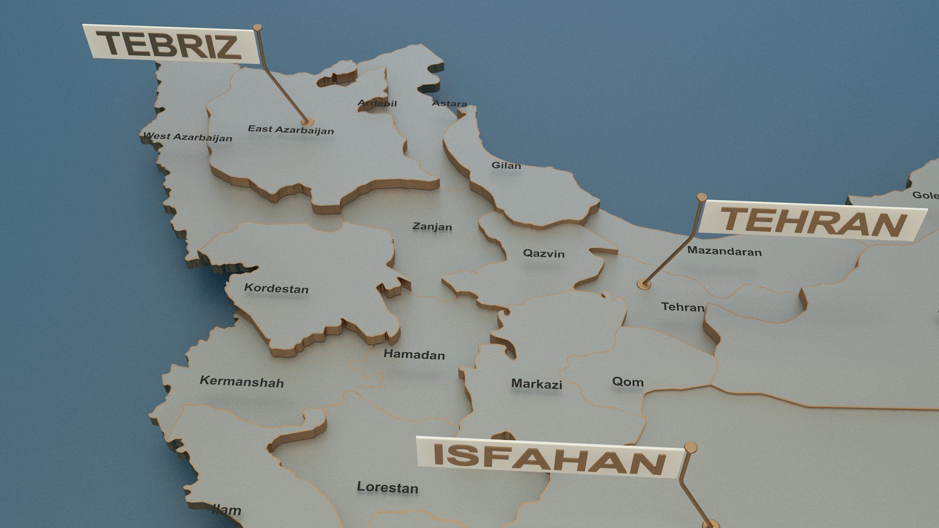
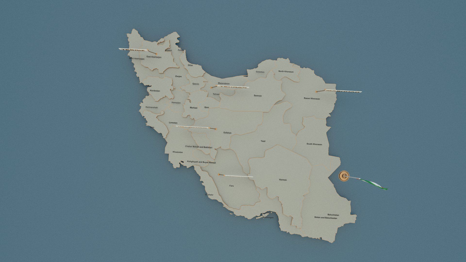
-3d model of the map of The Denmark .
-Vray scene for 3dsmax 2015
-Flag Raising animation
-Includes all Provinces.
-with state Provinces.
-with cities and capital names.
-Every Provinces border is separate.
-no additional plugins are required for this product just vray v3.0 for render .
Useful for broadcast news shows and for elections.
Each state is beveled named and textured.
Modeled in 3DS Max 2014 and tested in different file formats.
Oct 17, 2019
追加日
Mar 04, 2022
最後の更新
レビュー
この商品のレビューはまだありません。
氷を砕いた最初の人になろう。