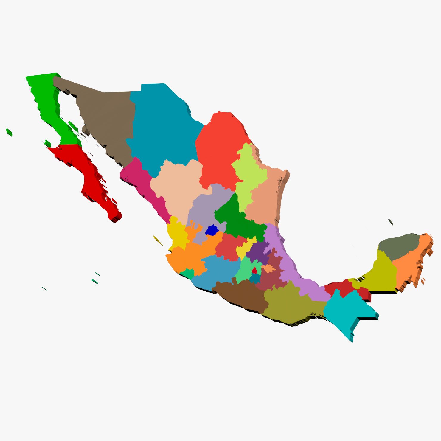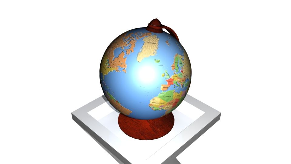


近東3Dマップ 3Dモデル
0


0
訪問

から提出された
Constantin Os
仕様
- ジオメトリpolygonal_quads/tris
- 多角形46,643
- 頂点44,387
- テクスチャYes
- 堅いNo
- アニメ化No
- 3Dプリント可能No
- ゲームレディ(低ポリ)No
- UVマップYes
- ラップされていないUVnon-overlapping
説明
3D model Near East 3D Map natural color
If you need sea surface, you can find it at supporting file. It's tiled.
Native scene:
3dsMax2012 V-Ray render. With light rig and ready for rendering.
Additional scenes:
3dsMax2012 Scanline render. With light rig and ready for rendering.
*.FBX
*.OBJ
Objects: 2
TurboSmooth modifier applied:
Subdivision Level 0
Polygons: 46, 643
Verts: 44, 387
Subdivision Level 1
Polygons: 354, 482
Verts: 181, 991
Textures 4:
near_east_3dmap_*.tga 8192 x 8192 ( Diffuse, Specilar, Glossines, Normal )
1 *.exr file
Units: centimeters
Dimensions: 1051cm x 539cm x 17cm
Preview images rendered with V-Ray
NOTE: This model contains poles (more than 5 edges that converge to a single vertex.)
Jun 09, 2020
追加日
Nov 30, 2021
最後の更新
レビュー
この商品のレビューはまだありません。
氷を砕いた最初の人になろう。