


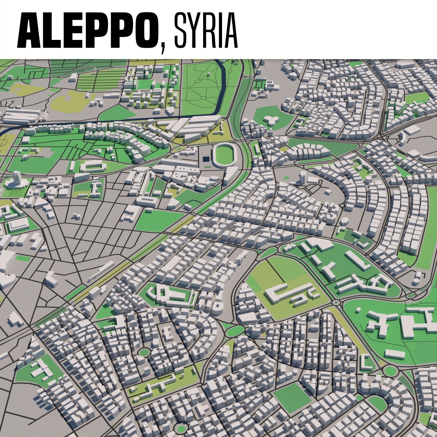
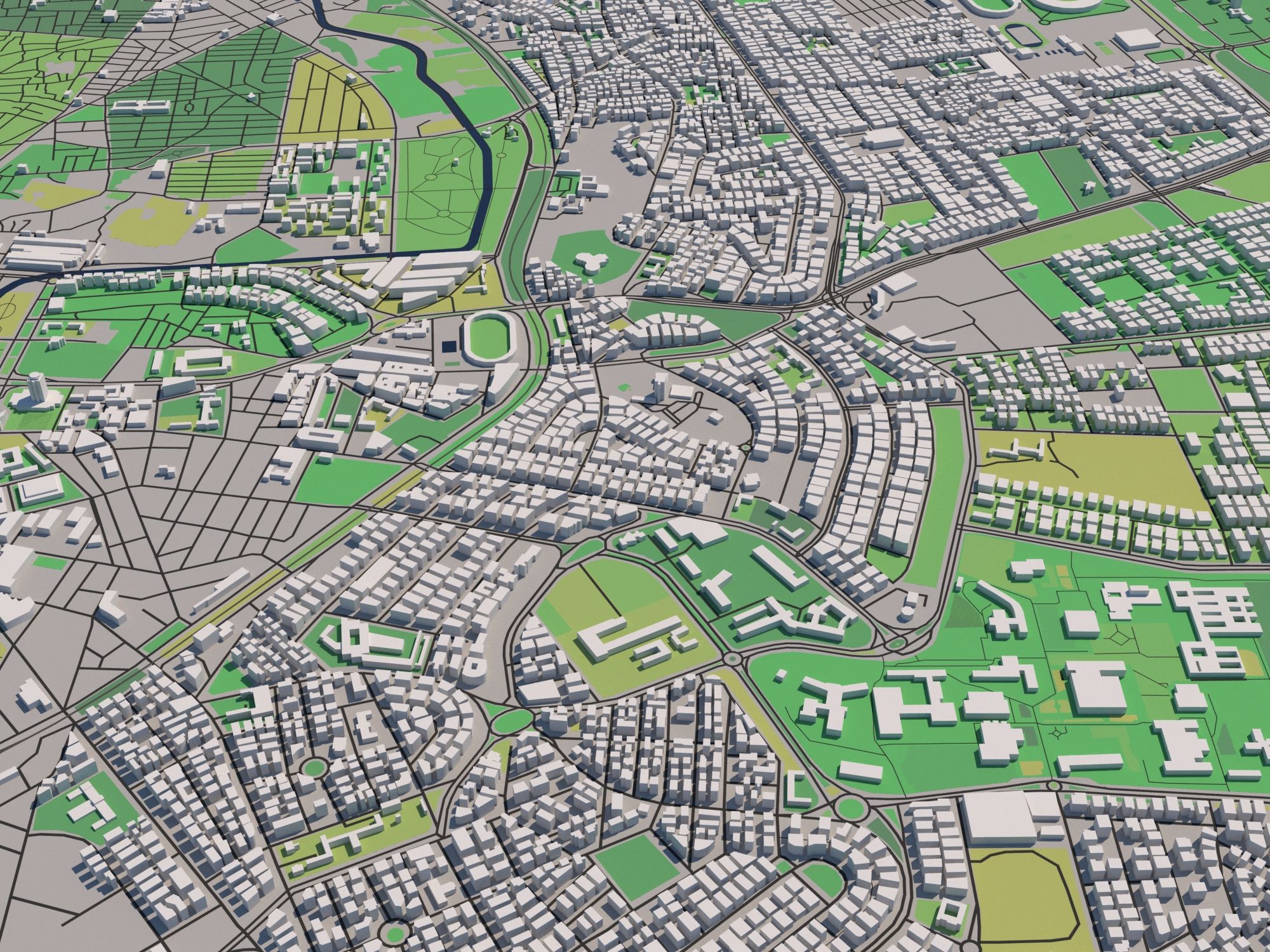
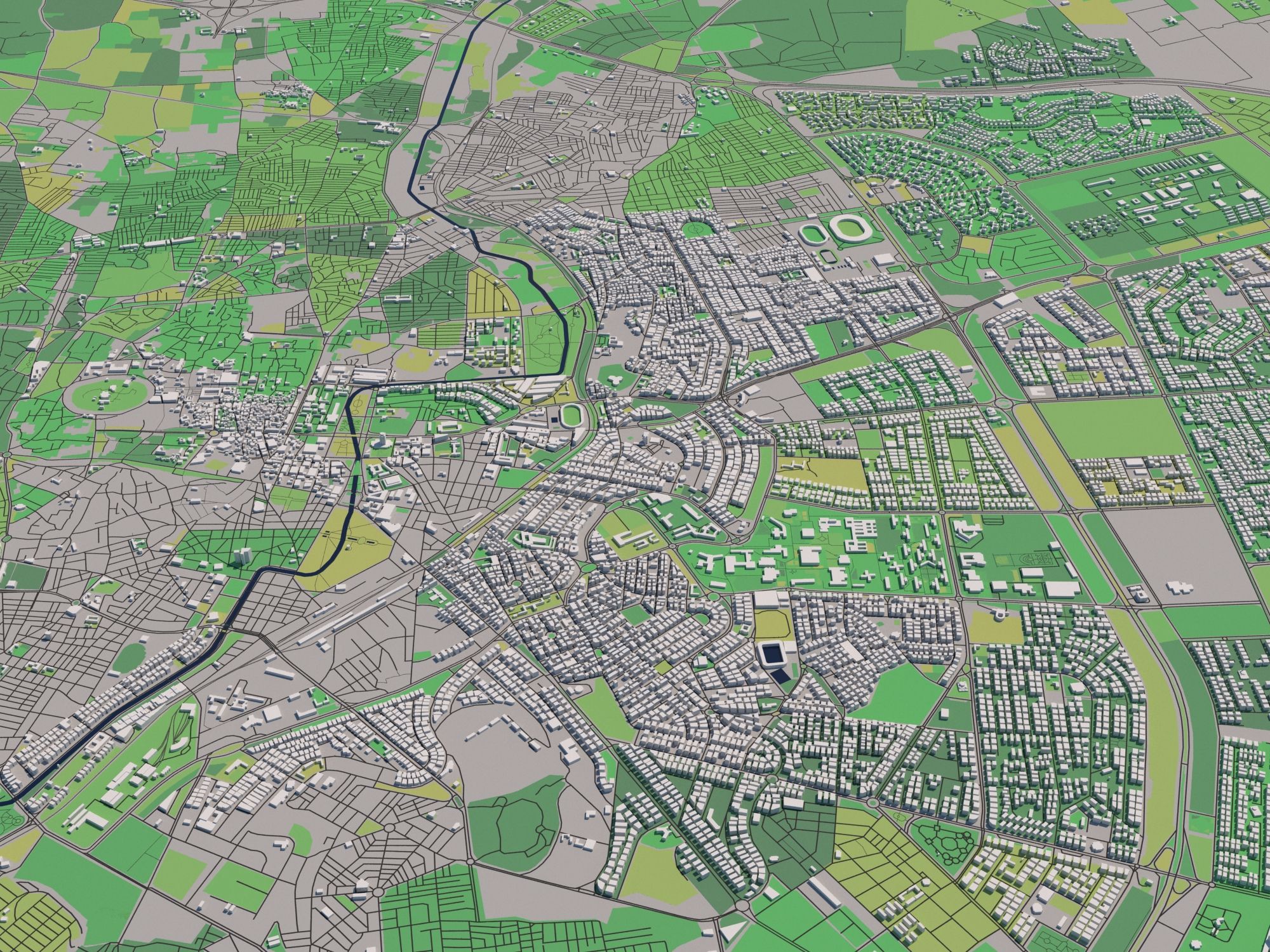
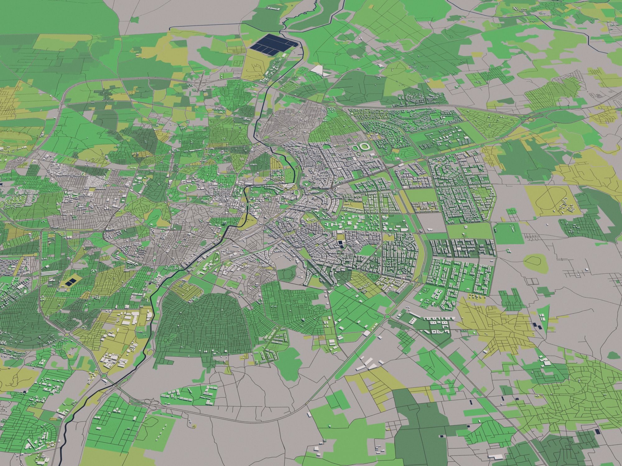
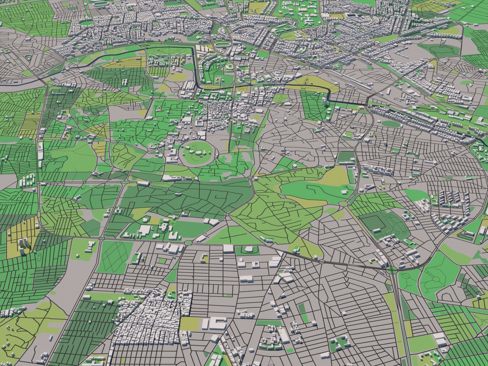
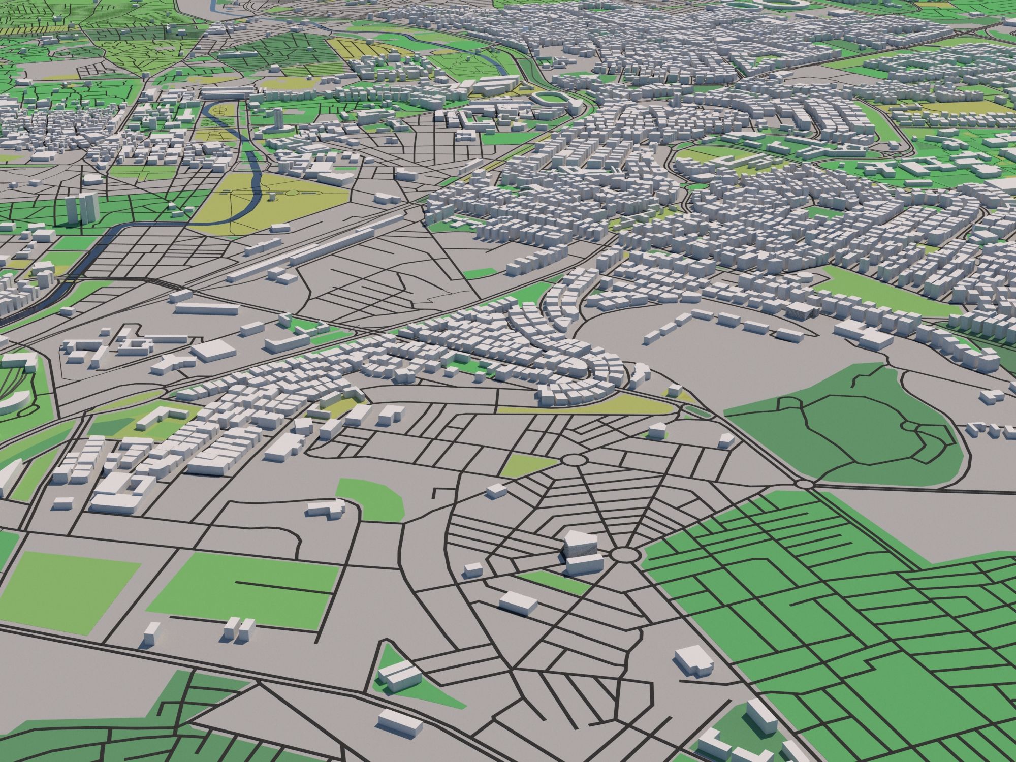
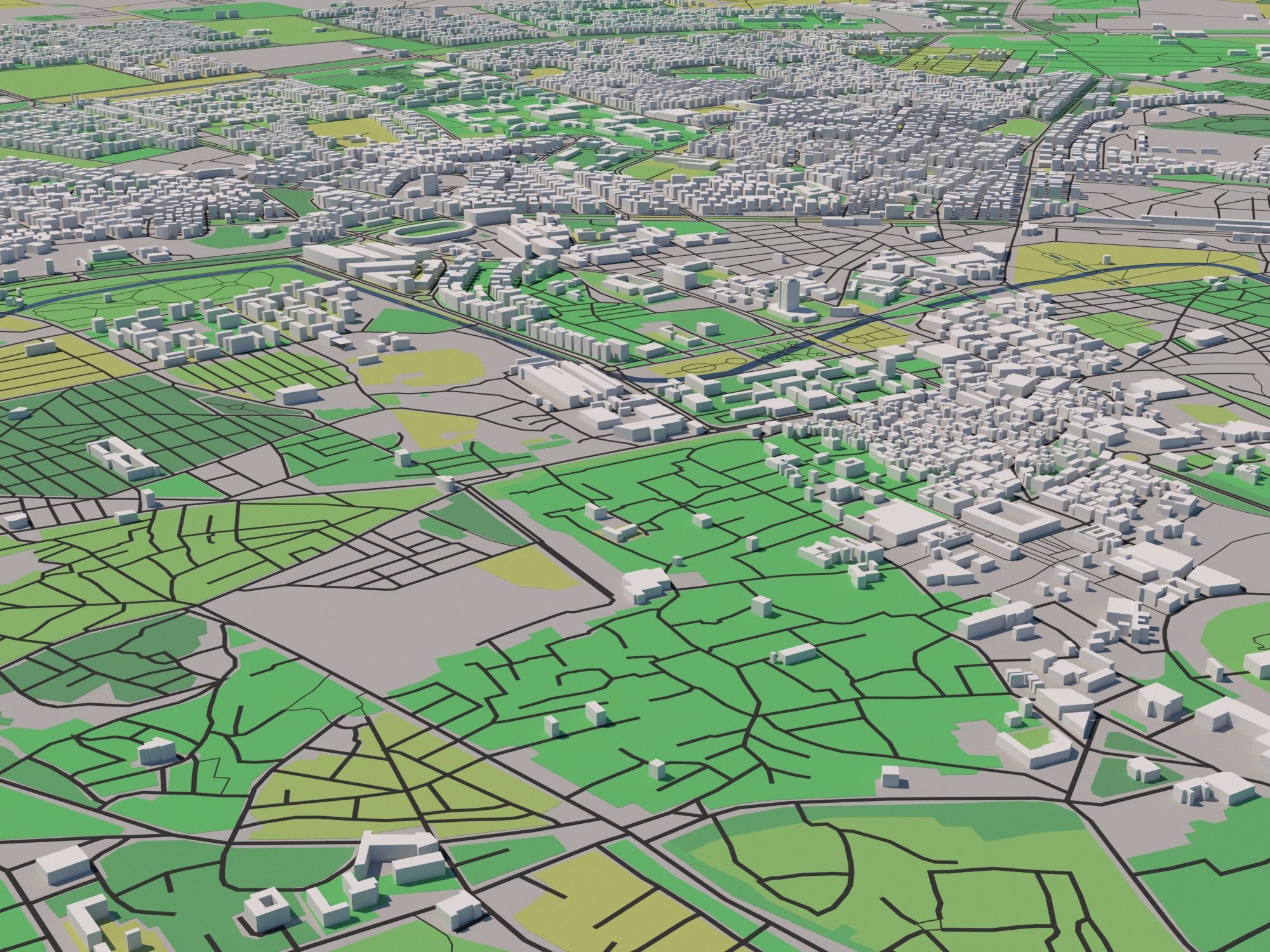
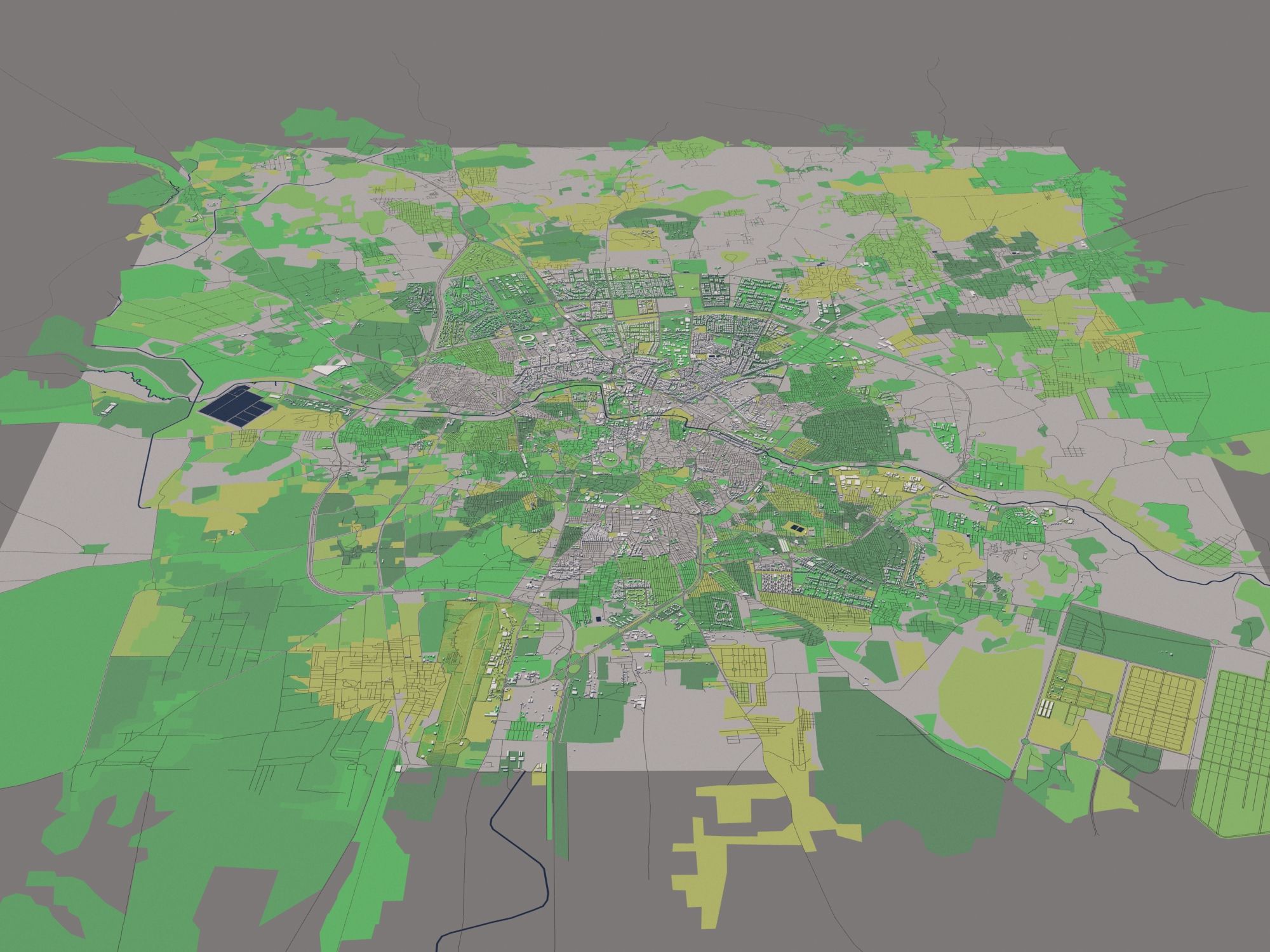
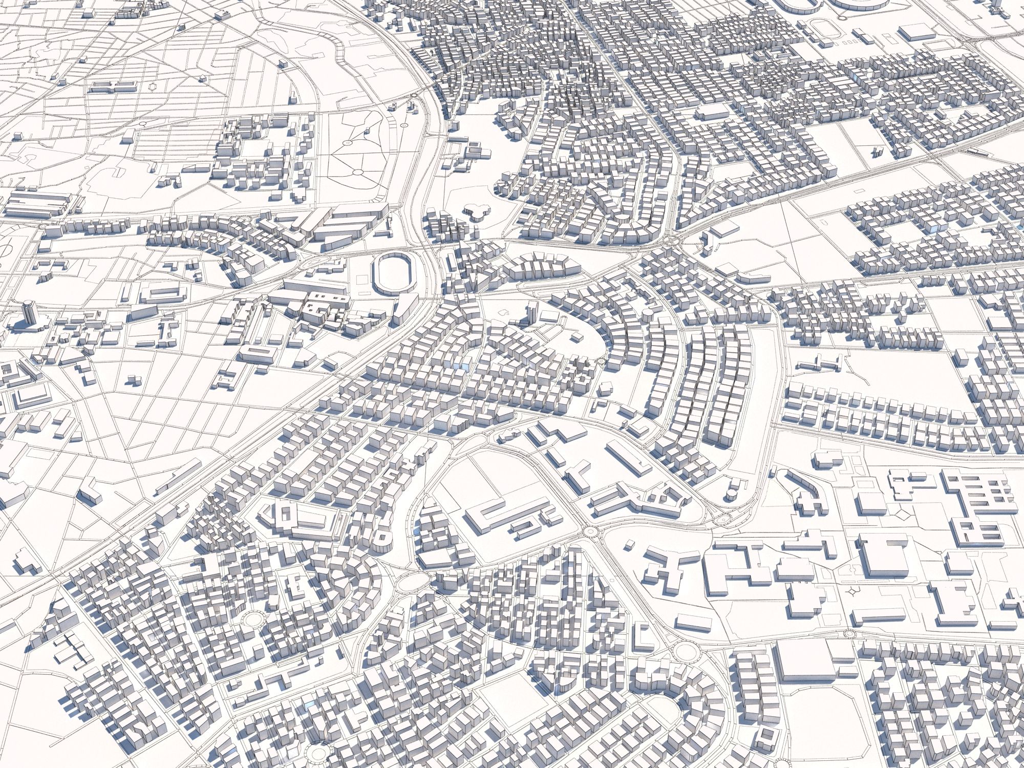
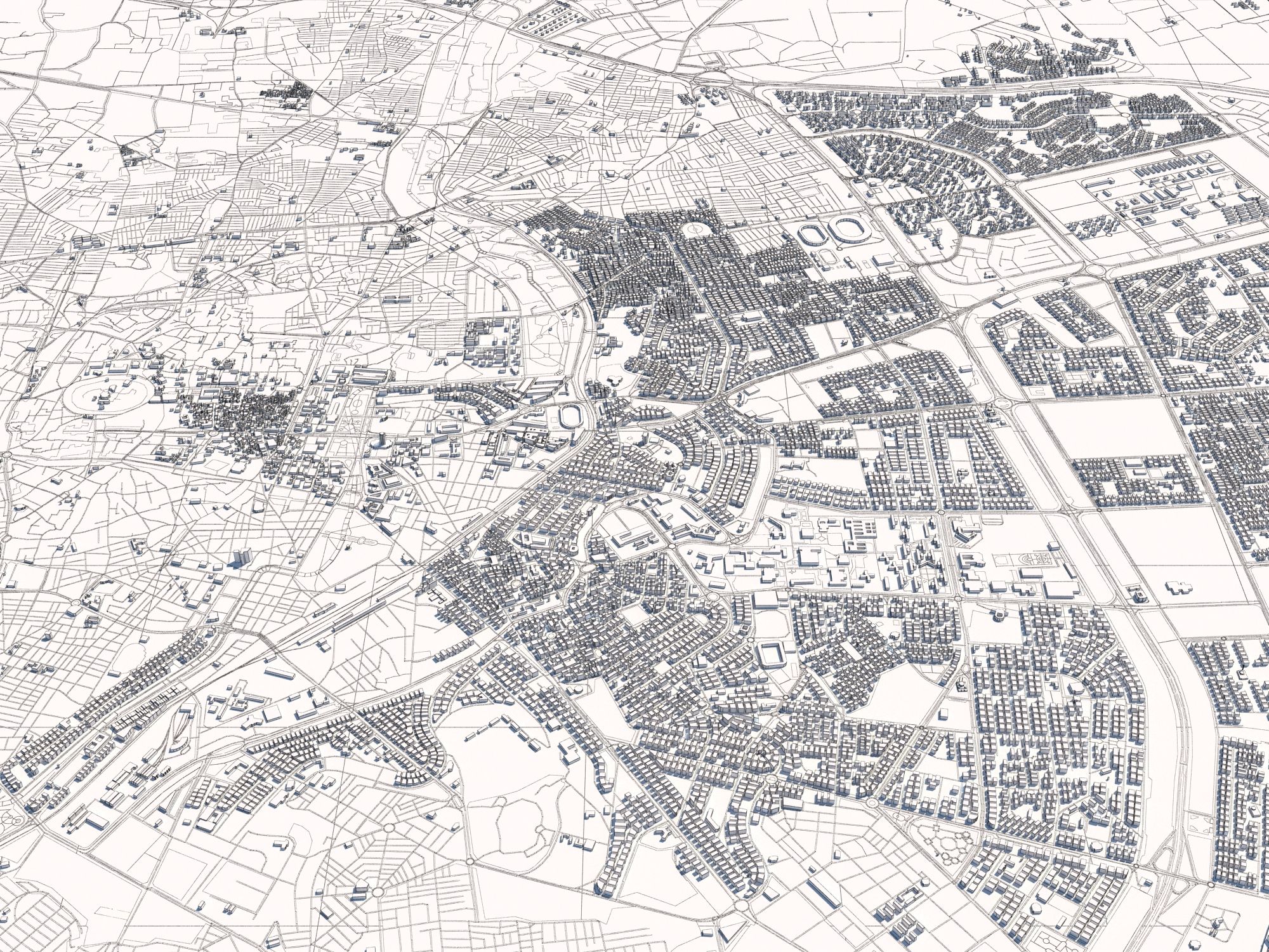
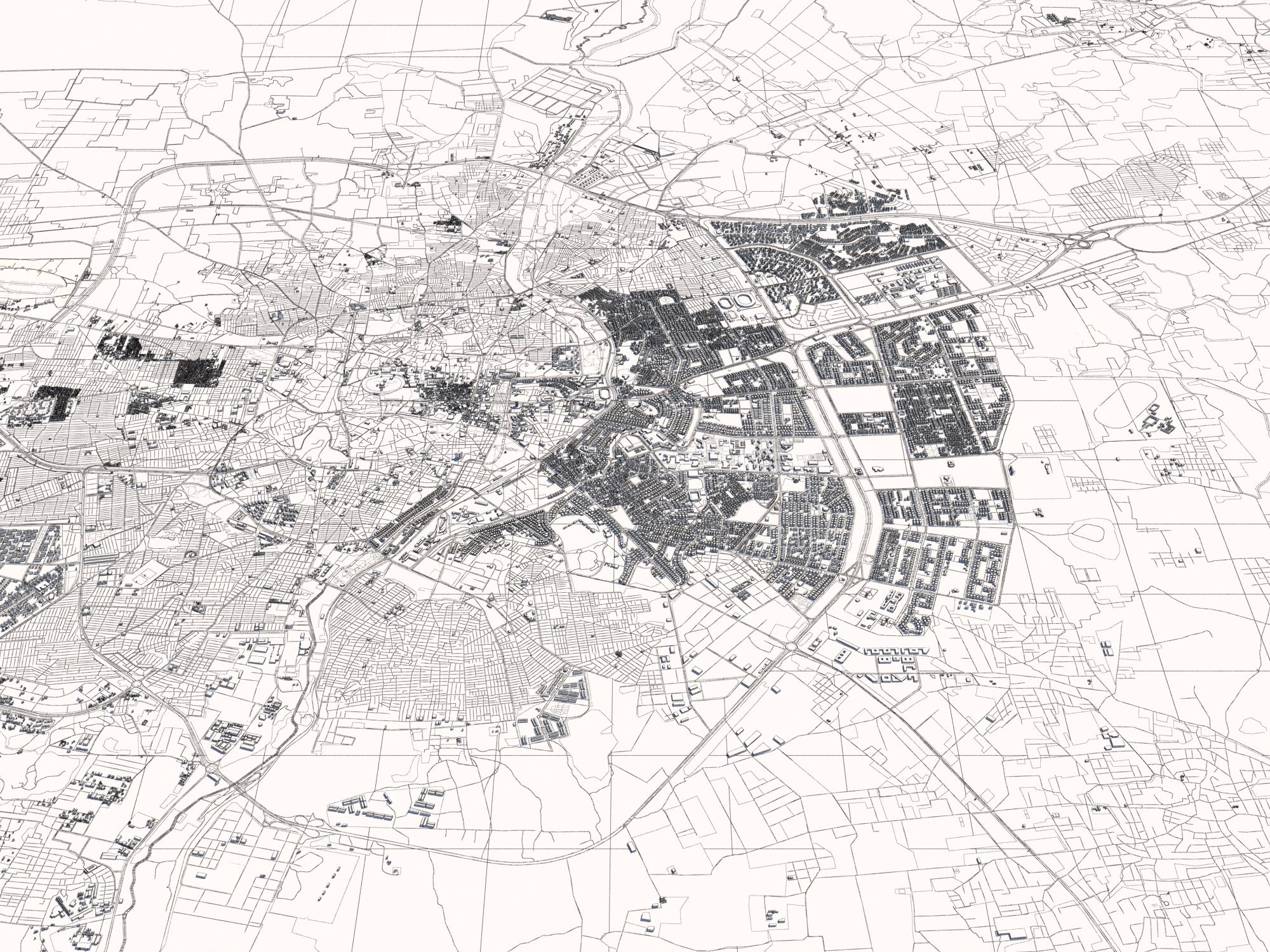
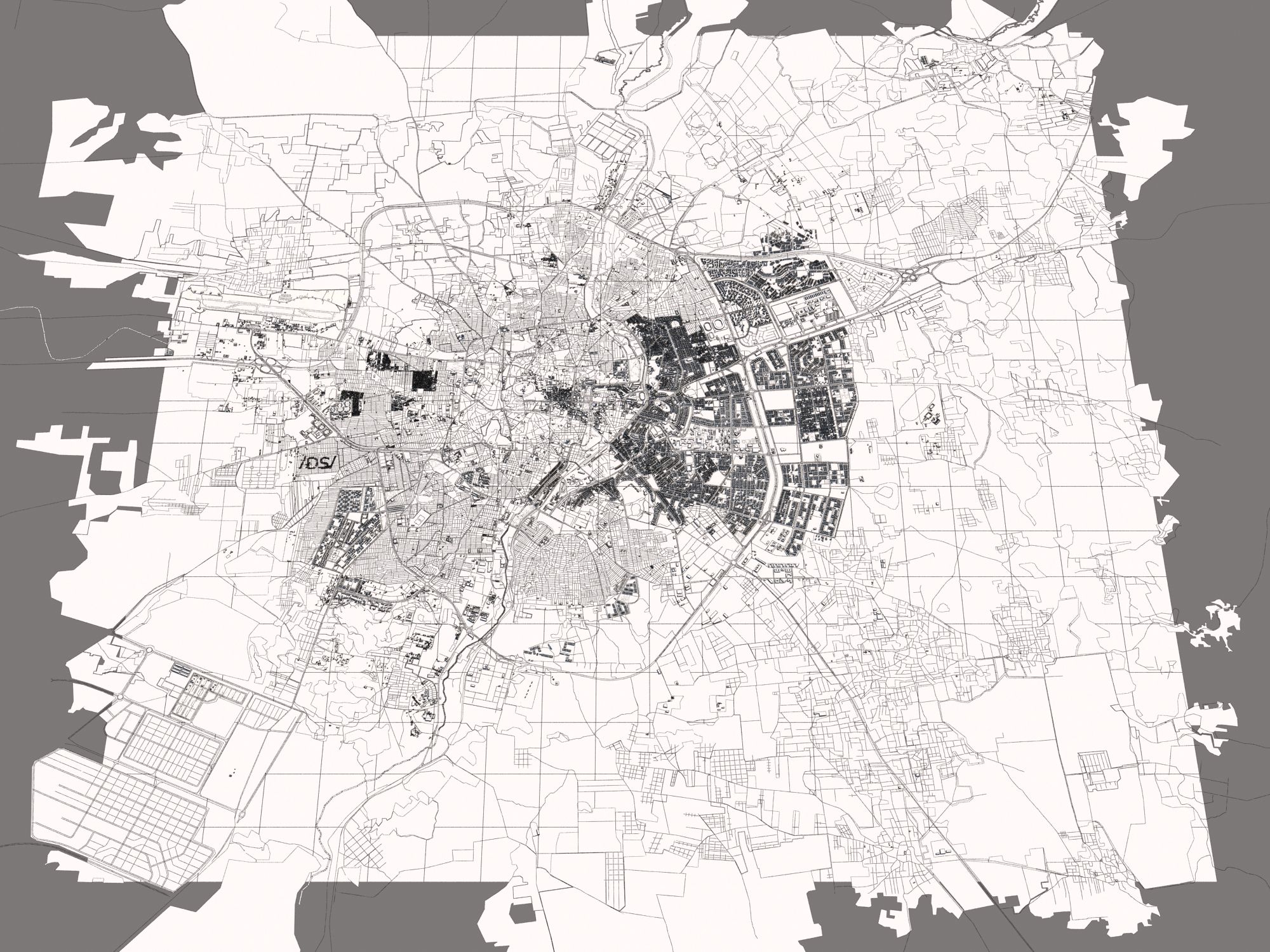
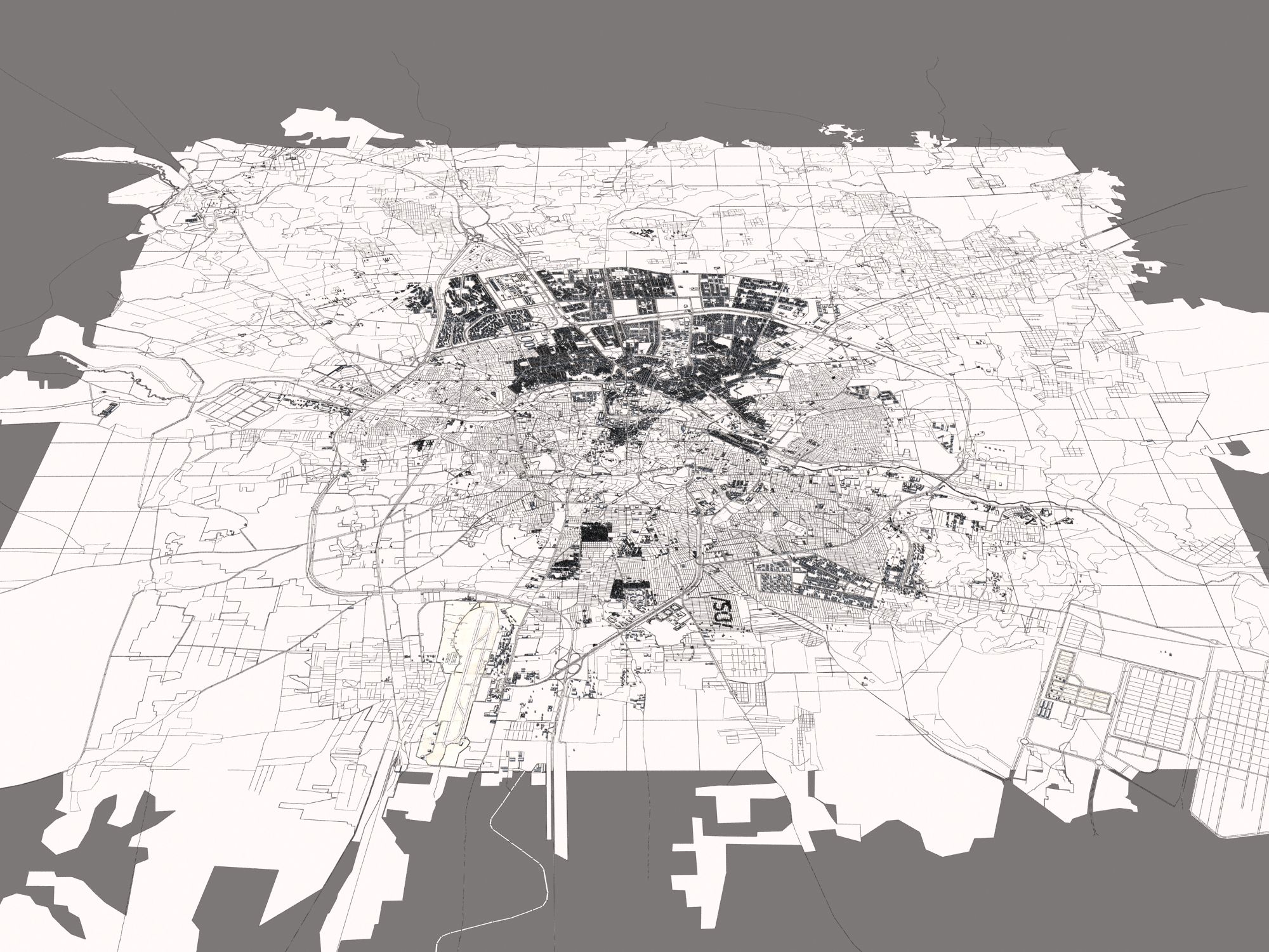
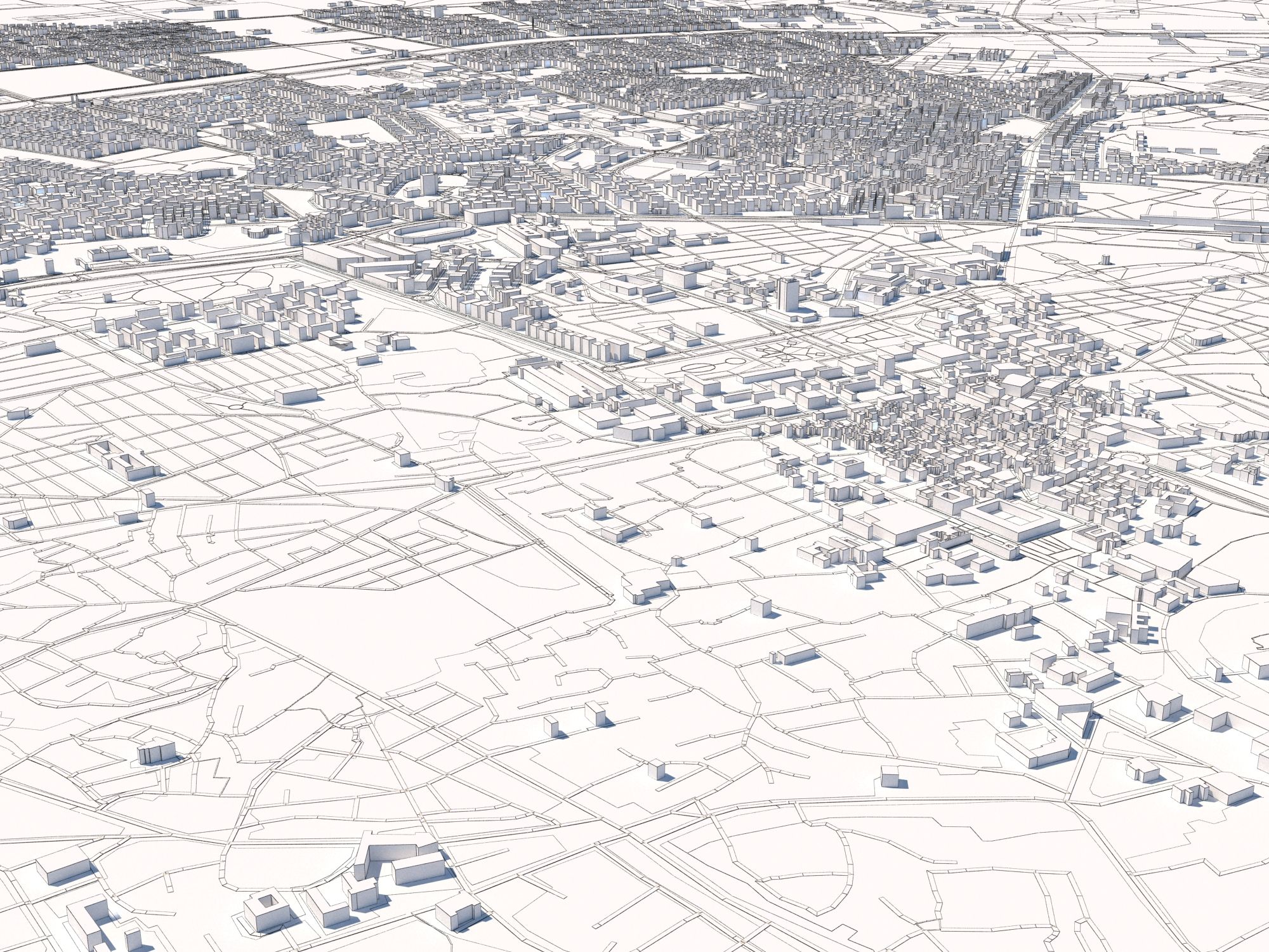
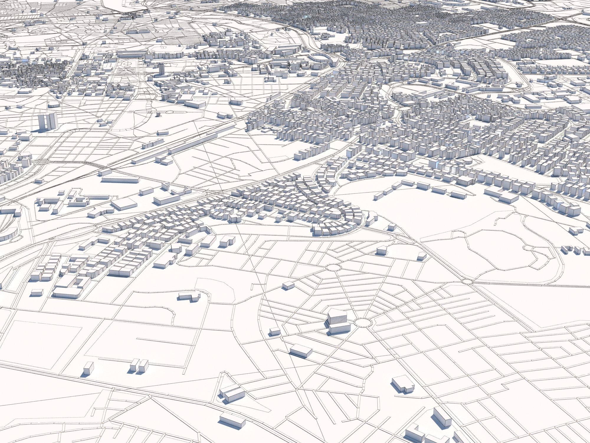
알레포 시리아 25x25km 3D 도시 지도 3D 모델
1


0
방문
에 의해 제출 된
3polies
명세서
- 기하학polygonal_ngons used
- 다각형473,653
- 정점들557,419
- 텍스처No
- 딱딱한No
- 생기 있는No
- 3D 인쇄 가능 준비No
- 게임 준비 (낮은 폴리)No
- UV 매핑 됨No
- 포장되지 않은 자외선unknown
기술
CITY MAP OF ALEPPO, SYRIA: :: Scene Information :: 3dsmax 2015 V-Ray 3.60.03 LWF maps: no texture maps used shader: VRrayMtl the area is 25 x 25 km this model uses OSM data :: Geometry :: metric system [cm] layers are used (buildings, hightway, railroad, water) see preview images for layer structure not all houses are included due to import restrictions or missing OSM data see preview images for covered area :: Materials :: V-Ray materials no texture maps used for this asset :: Lightsetup :: daylight system (included) :: Formats :: 3dsmax 2015 OBJ FBX
Sep 29, 2020
추가 된 날짜
Oct 07, 2022
마지막 업데이트
리뷰
현재이 제품에 대한 리뷰가 없습니다.
얼음을 깬 첫 번째 사람이되지 않겠습니까?