


County Map - South Carolina 3D 모델
0


30
방문
에 의해 제출 된
browntimmy
명세서
- 기하학polygonal_ngons used
- 다각형8,600
- 정점들17,476
- 텍스처No
- 딱딱한No
- 생기 있는No
- 3D 인쇄 가능 준비No
- 게임 준비 (낮은 폴리)No
- UV 매핑 됨Yes
- 포장되지 않은 자외선none
기술
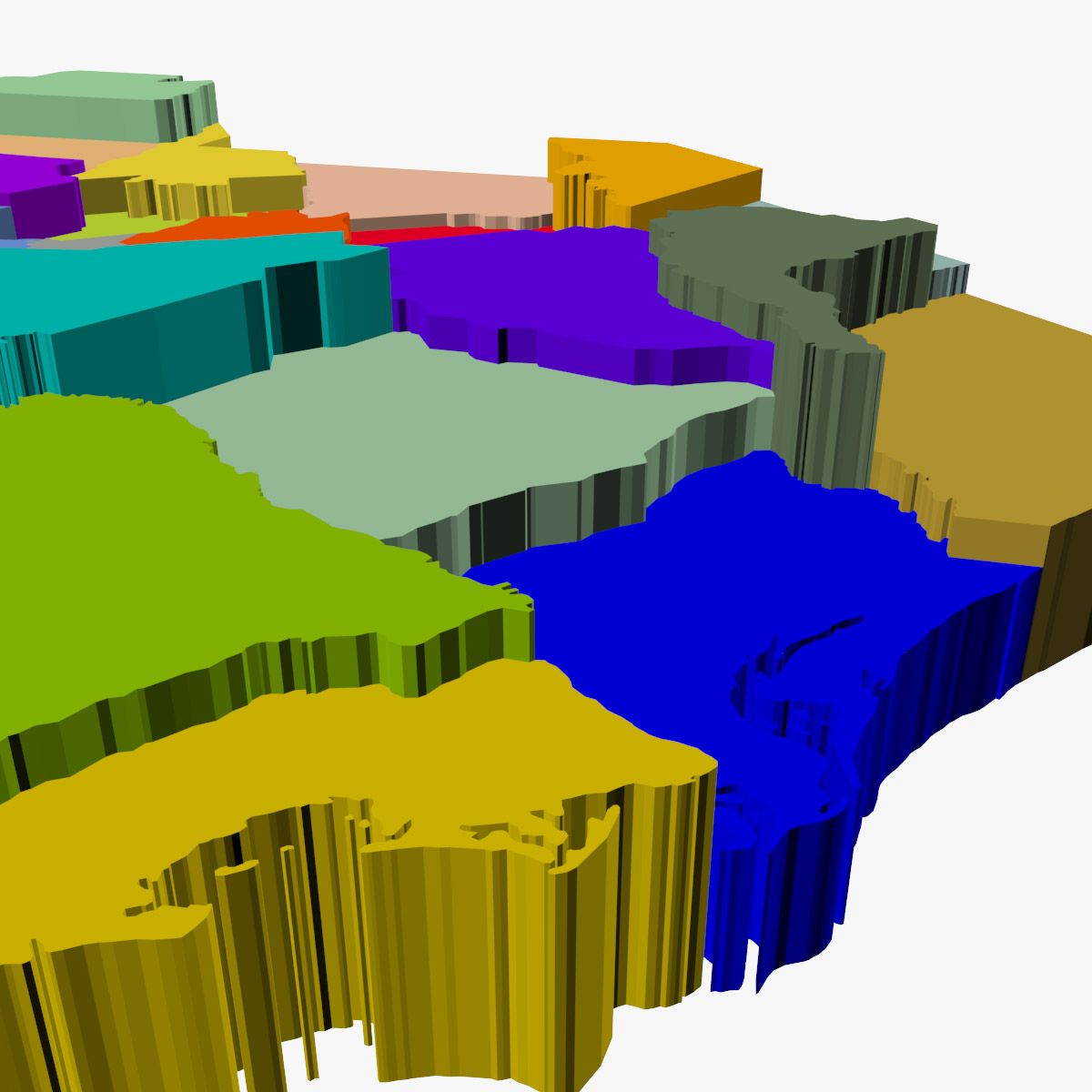
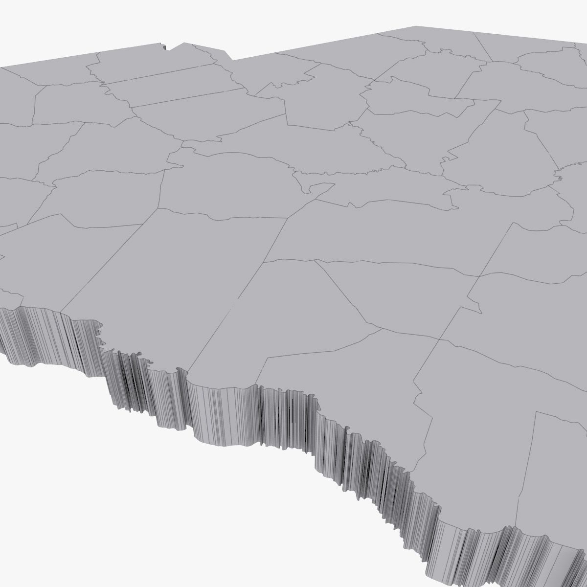
High detail map of the counties in the state of South Carolina. Consists of 46 separate shapes labeled after each of the 46 counties.
3ds max files consist of editable splines with Extrude modifiers applied, making the shapes very convenient to edit if necessary. Material modifiers also applied with individual sub-materials labeled after each county.
OBJ file compatible with Element 3D plugin for After Effects with each county able to be isolated.
Oct 15, 2019
추가 된 날짜
Nov 29, 2021
마지막 업데이트
리뷰
현재이 제품에 대한 리뷰가 없습니다.
얼음을 깬 첫 번째 사람이되지 않겠습니까?