




NASA UAV 3D 모델
1


15
방문

에 의해 제출 된
CoSwiz
명세서
- 기하학polygonal_quads/tris
- 다각형2,943
- 정점들3,042
- 텍스처Yes
- 딱딱한No
- 생기 있는No
- 3D 인쇄 가능 준비No
- 게임 준비 (낮은 폴리)No
- UV 매핑 됨Yes
- 포장되지 않은 자외선non-overlapping
기술
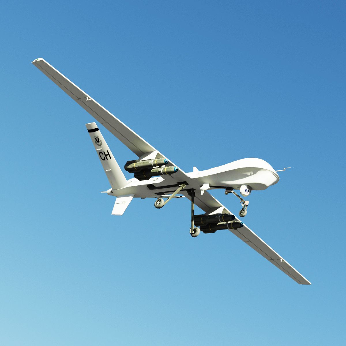
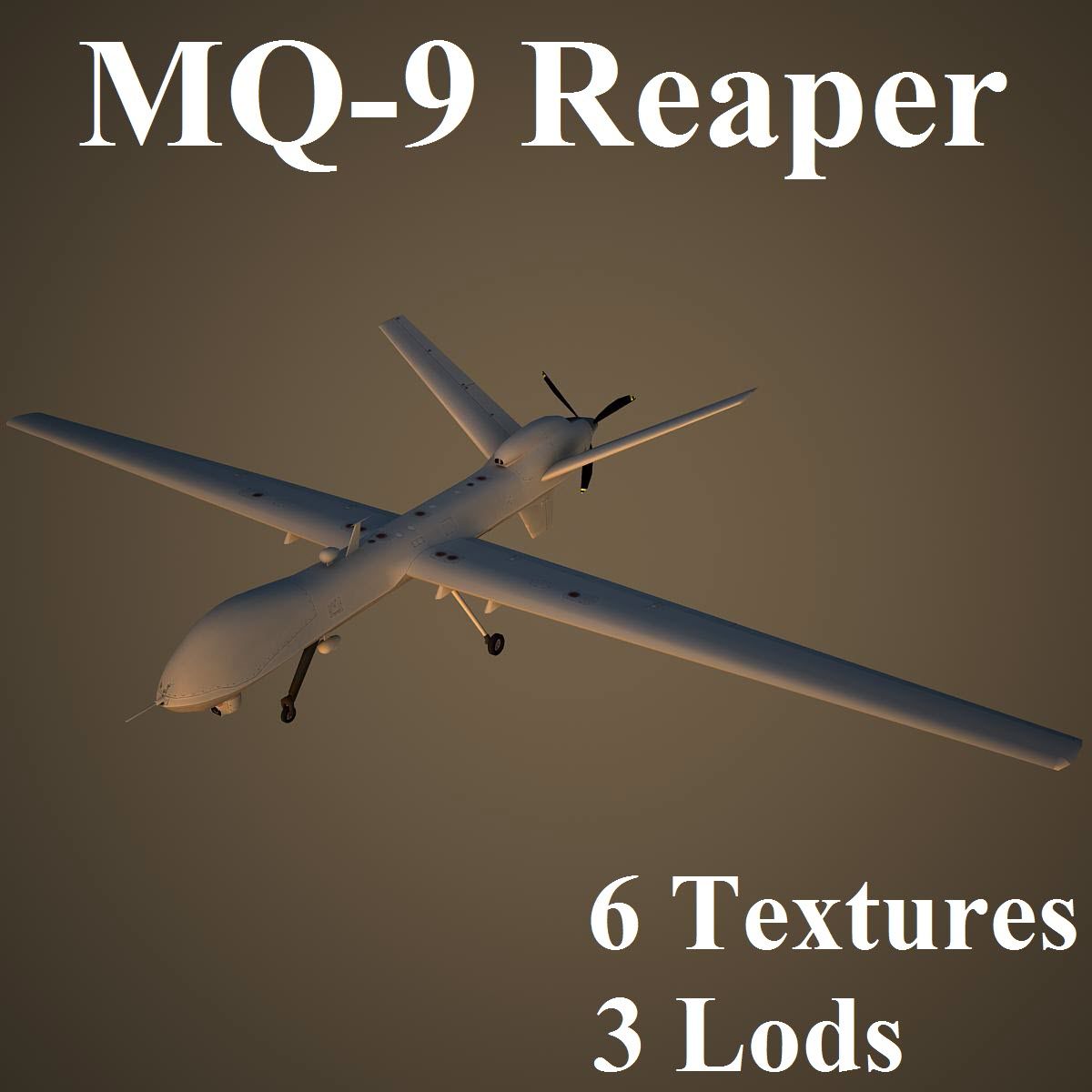
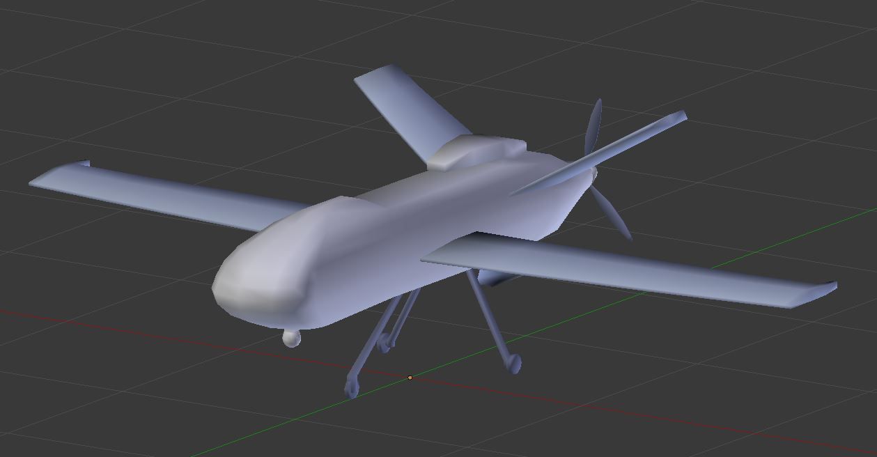
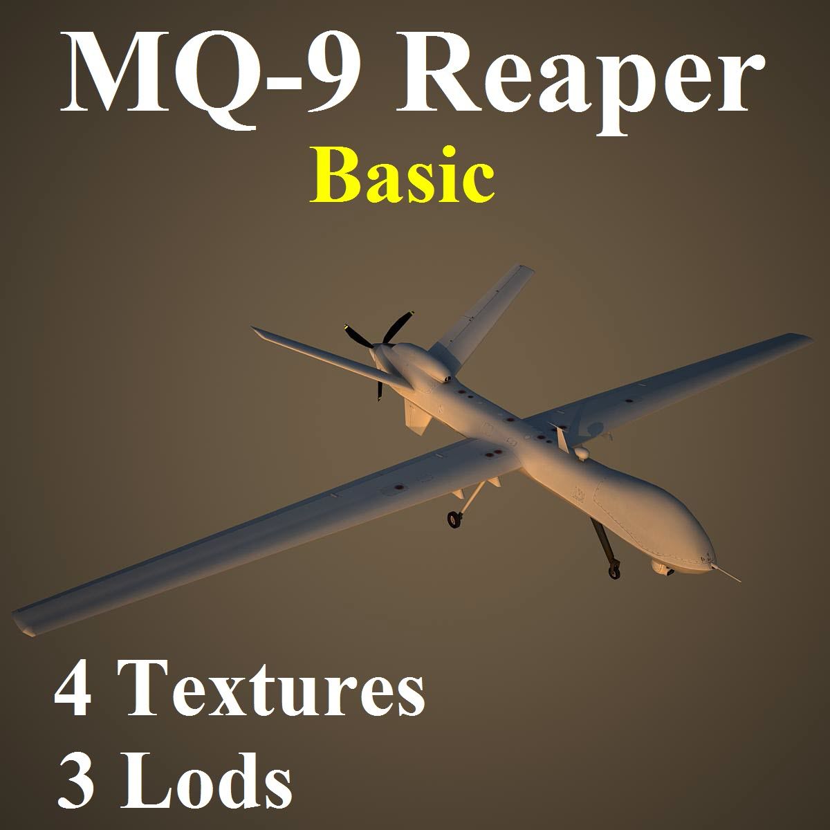
A low poly model of a remotely piloted vehicle (unmanned) UAV featuring high detail 4k shader maps is suitable for realtime applications and distant shots. Predominantly constructed of quads this model also subdivides well.
Shader maps: Color & Diffuse (features subtle noise & dirt)
Format: 4096 x 4096 pixels 24bit rgb color BMP (*.bmp)
UVW island padding (6 pixels) to facilitate shader map scalability.
Objects & material named logically for ease of use.
Native format is 3dsmax 2009; also compatible with 3dsmax 2010-16.
Preview images have been created using Mentalray renderer.
No additional plugins are required.
Info: The Altair, a high-altitude civil derivative of General Atomics Aeronautical Systems (GAAS) Predator B UAV for scientific and commercial research missions, is being used by NASA and NOAA to explore advanced ways of monitoring climate and the environment; as part of the nine-year goal of the Environmental Research Aircraft and Sensor Technology (ERAST) project.
Polycount: 2943 faces / 3042 vertices / 4 elements (see Preview images)
Subdivision Level1: 11,834 faces / 11,911 vertices
Subdivision Level2: 47,336 faces / 47,431 vertices
Nov 12, 2019
추가 된 날짜
Sep 30, 2022
마지막 업데이트
리뷰
현재이 제품에 대한 리뷰가 없습니다.
얼음을 깬 첫 번째 사람이되지 않겠습니까?