

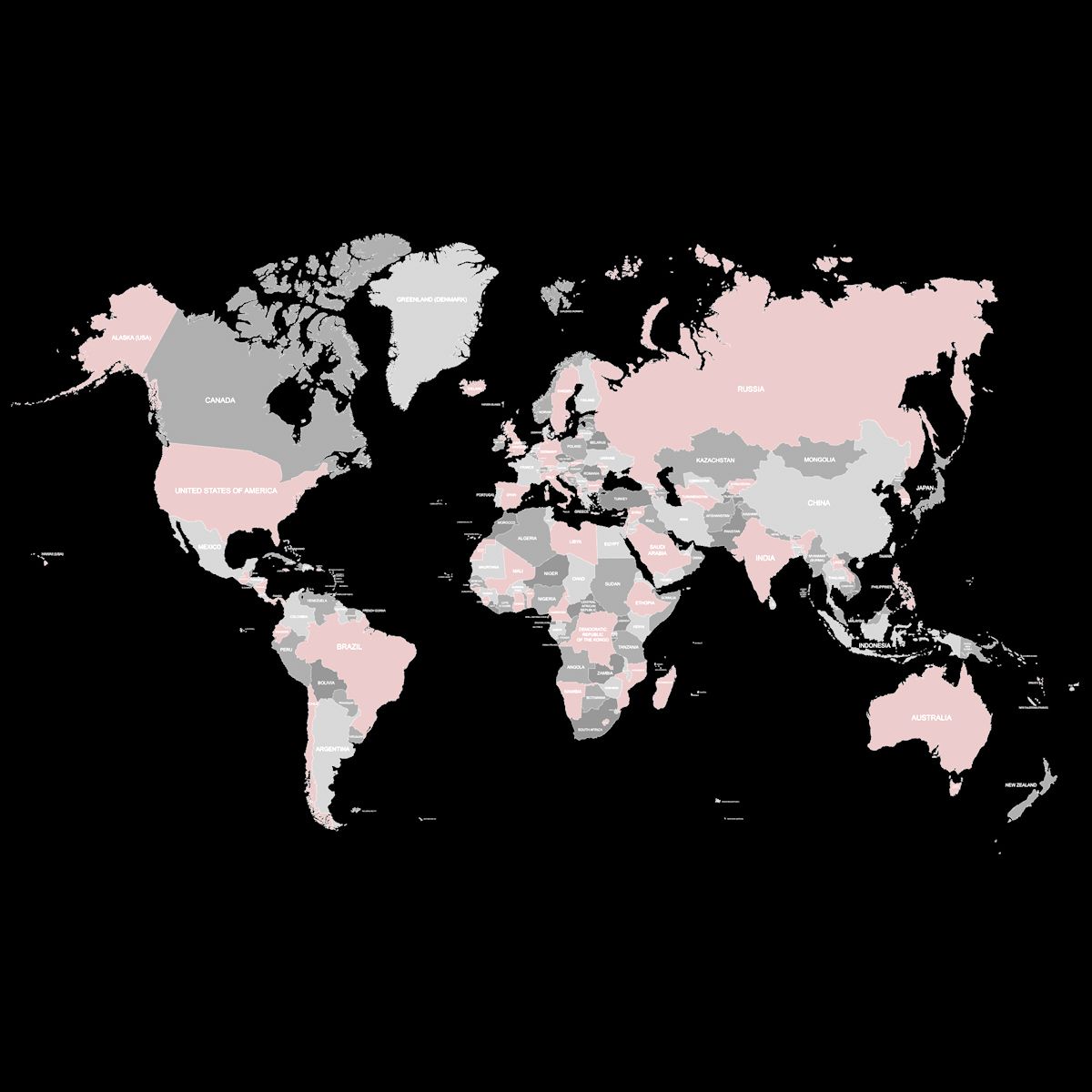


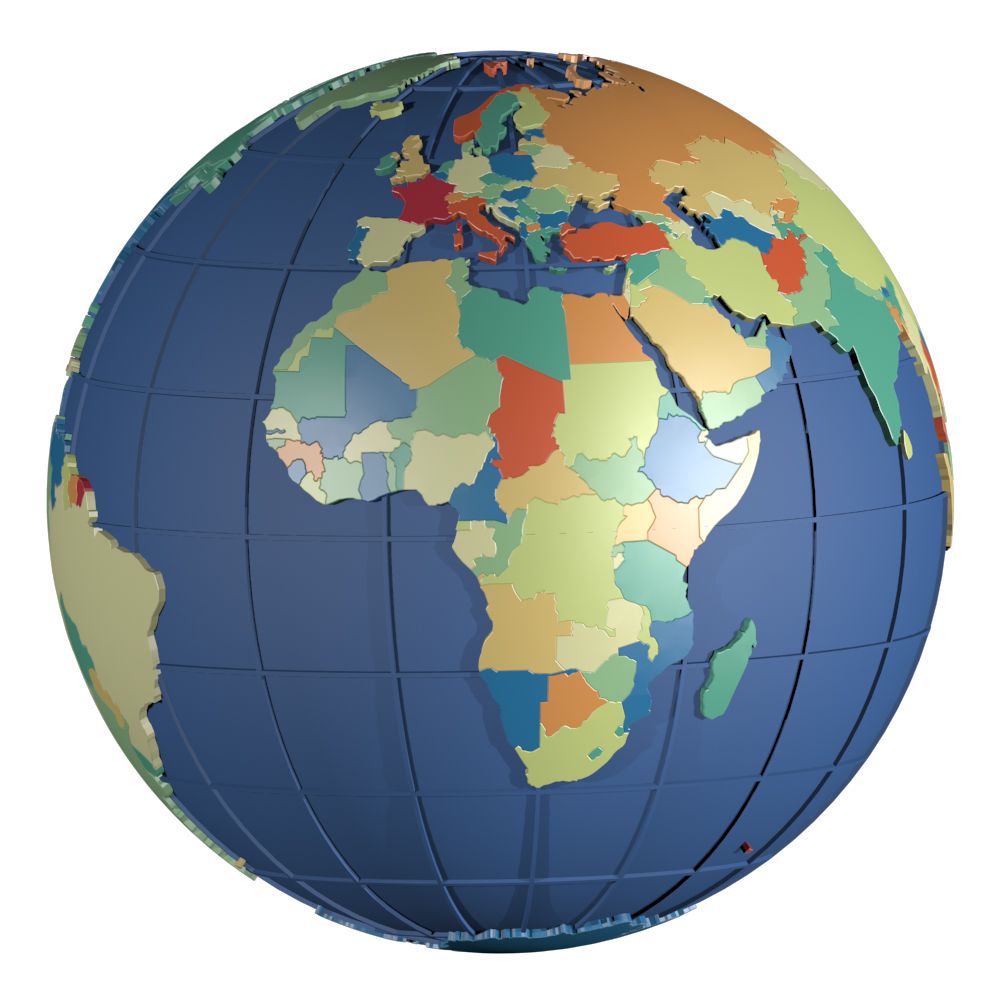


Political World Map Earth Globe Countries 3D 모델
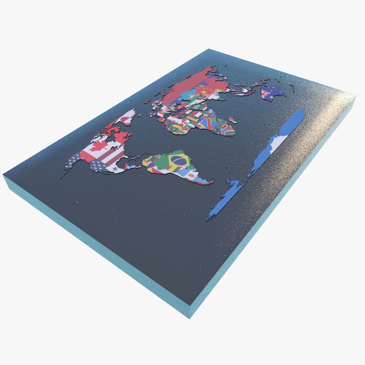
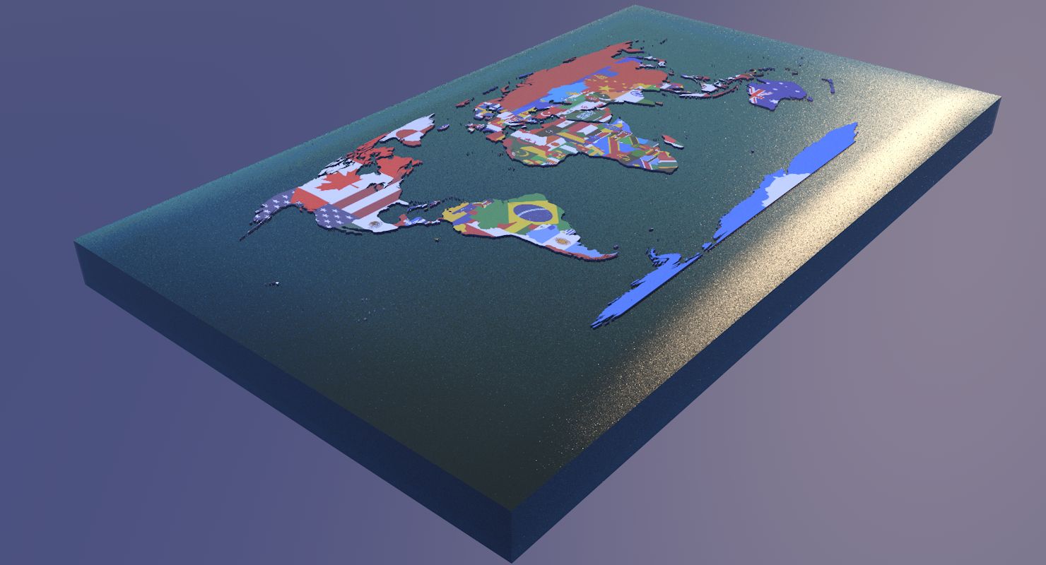







명세서
- 기하학polygonal_quads/tris
- 다각형602,954
- 정점들899,080
- 텍스처Yes
- 딱딱한No
- 생기 있는Yes
- 3D 인쇄 가능 준비No
- 게임 준비 (낮은 폴리)No
- UV 매핑 됨Yes
- 포장되지 않은 자외선mixed
기술
Overview
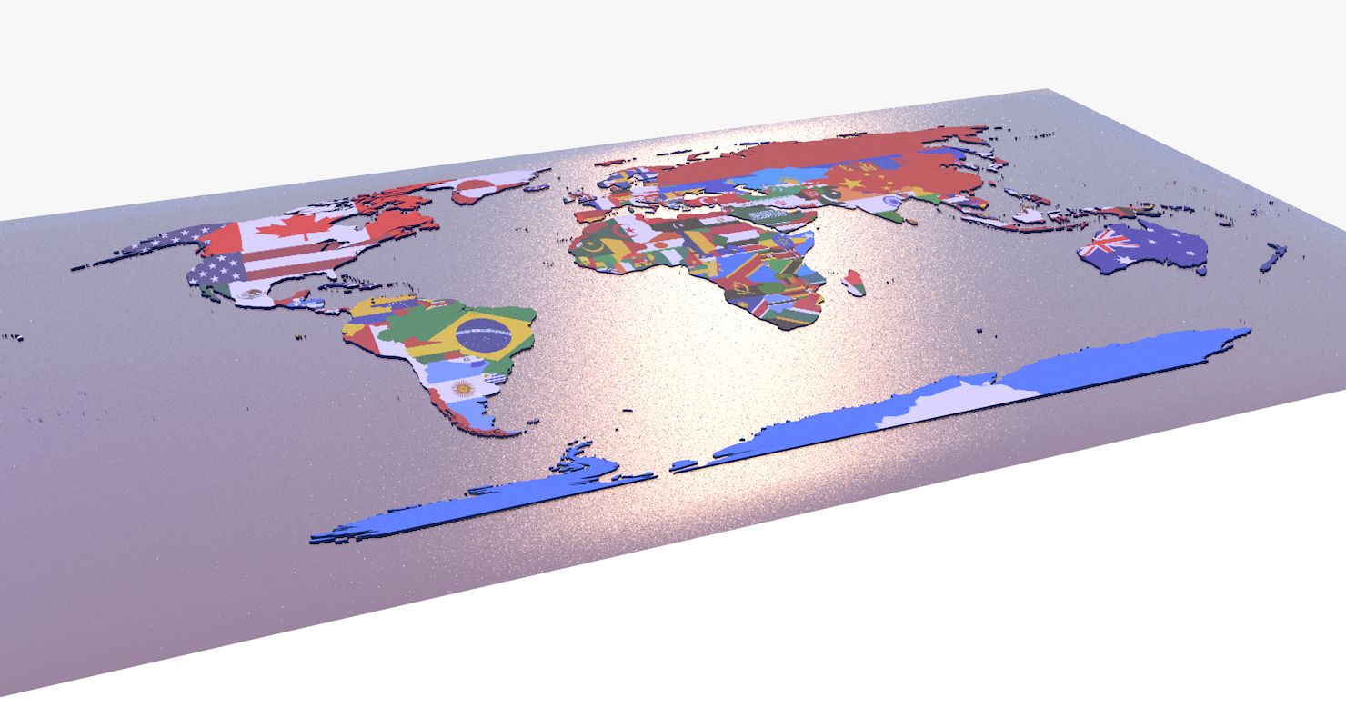
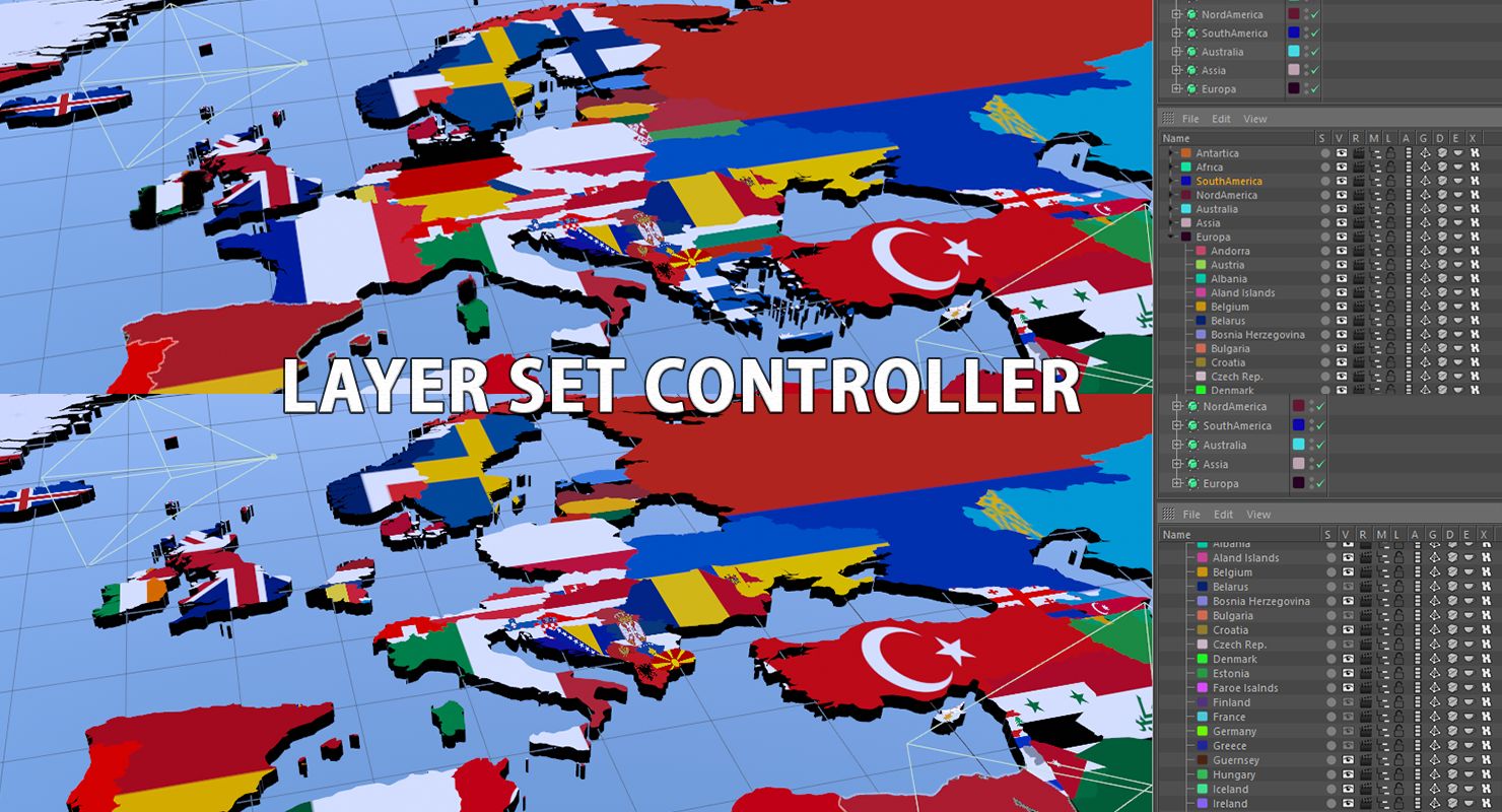
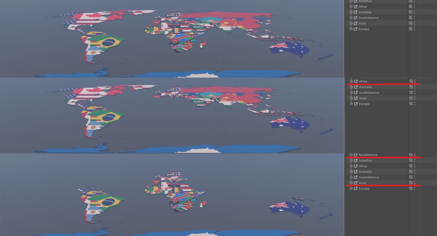
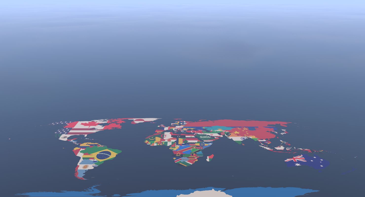
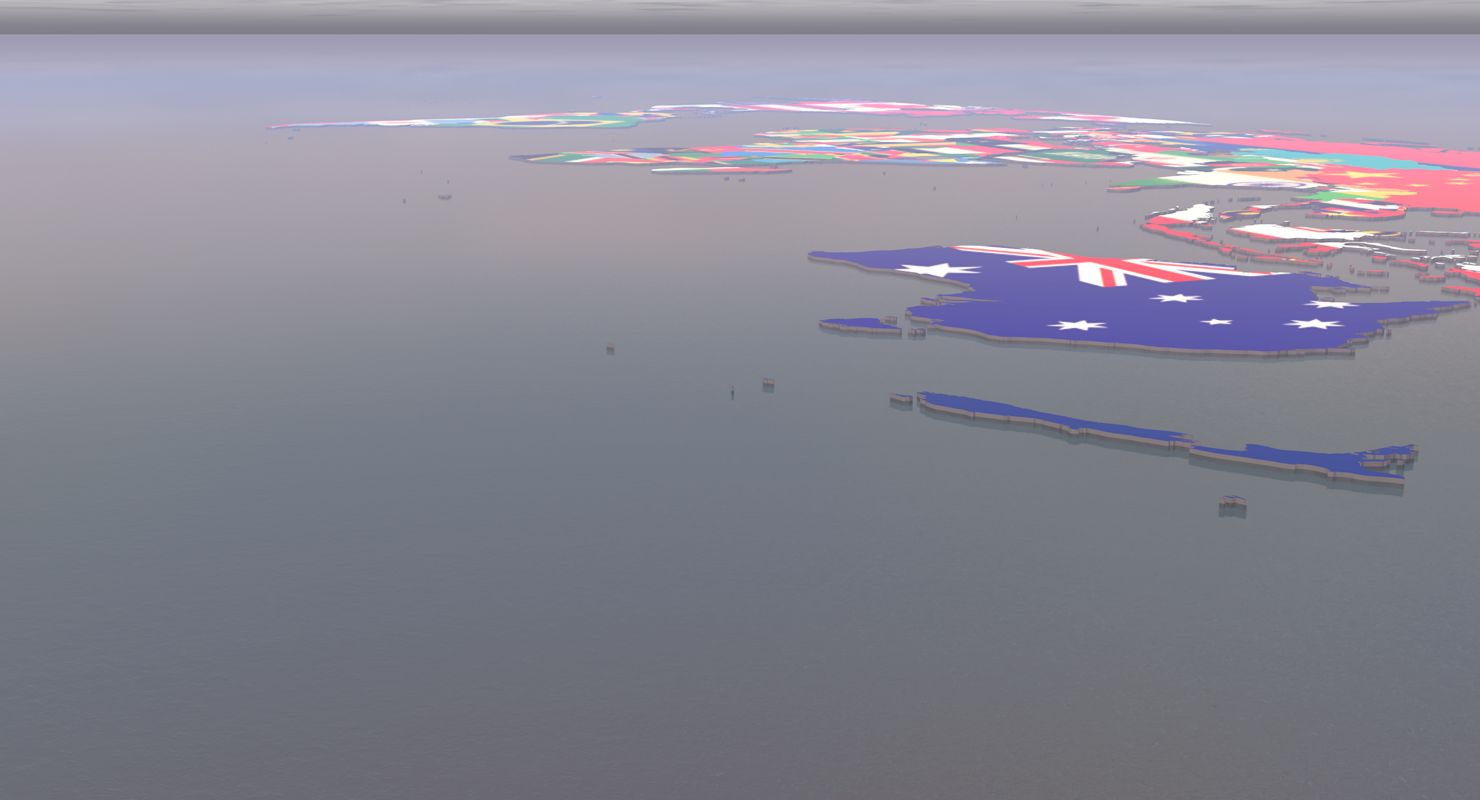
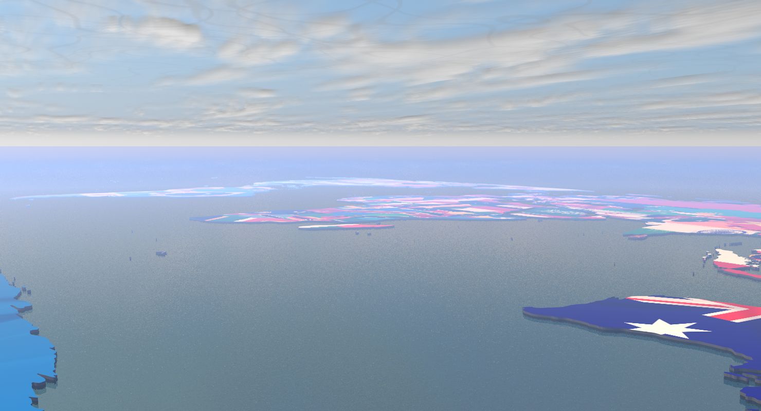
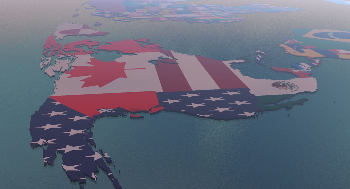
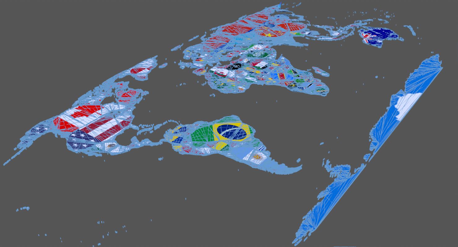
Political world map globe built for on-air geopolitics: a full Earth sphere with country borders that stays readable when the camera pushes in and when the render is cropped to a lower third. Every country is a separate, individually controllable object, so a single nation can be isolated, coloured or animated without cutting the mesh.
Geometry
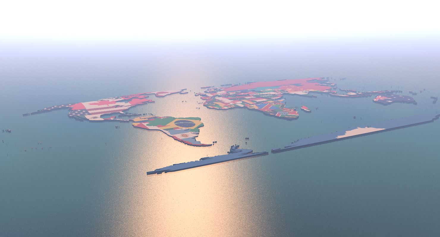
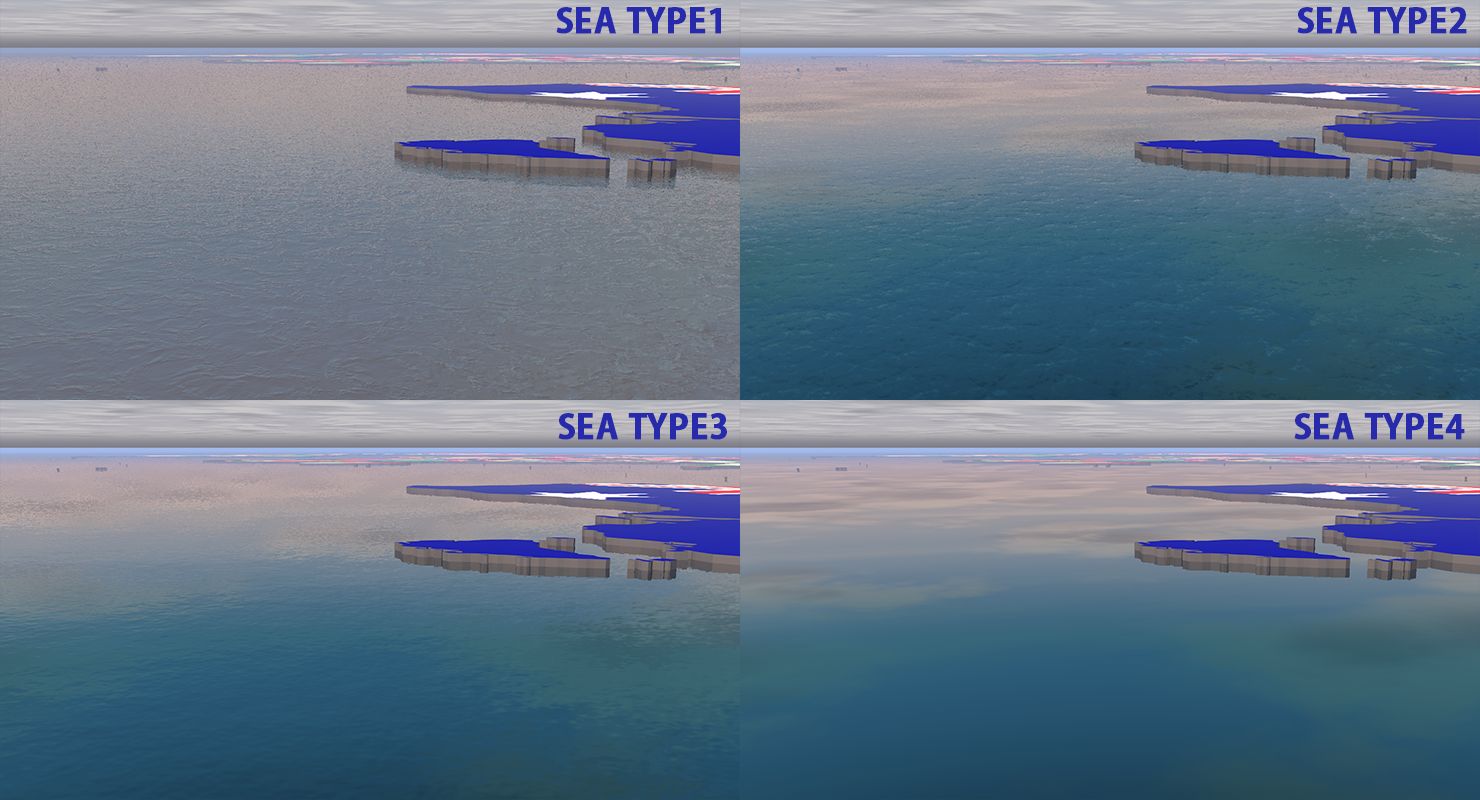
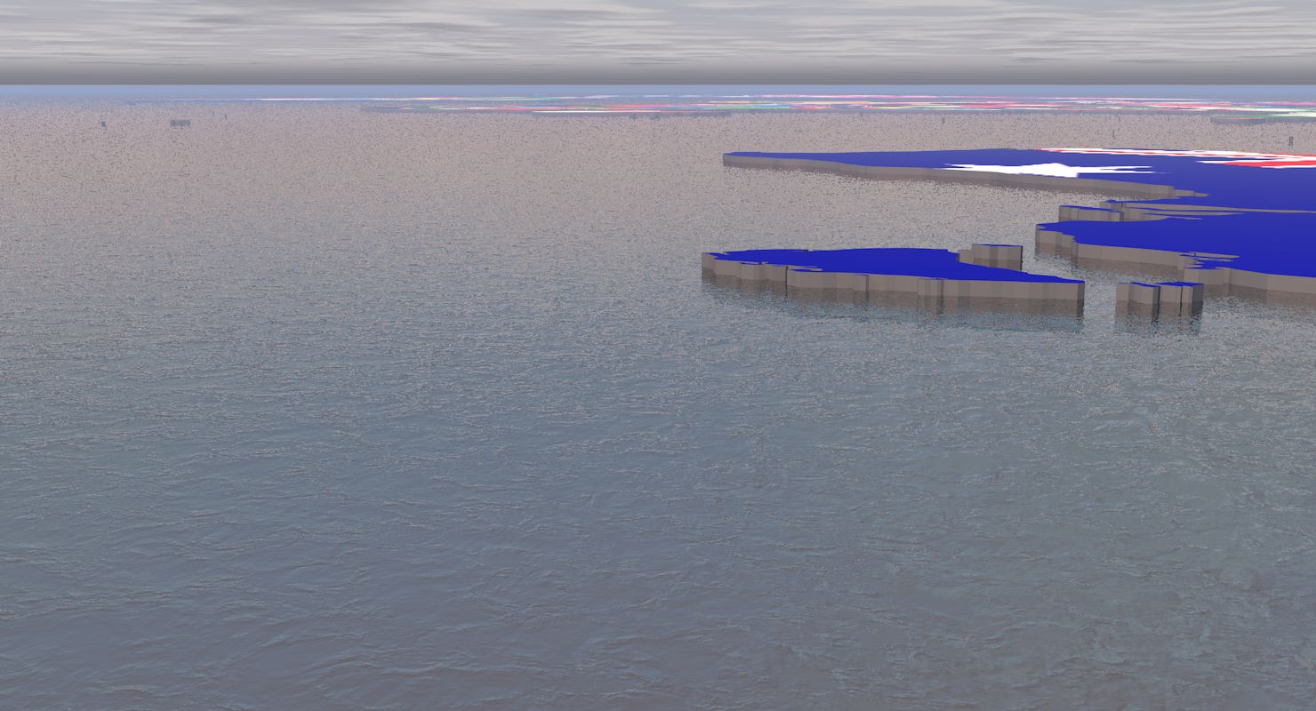
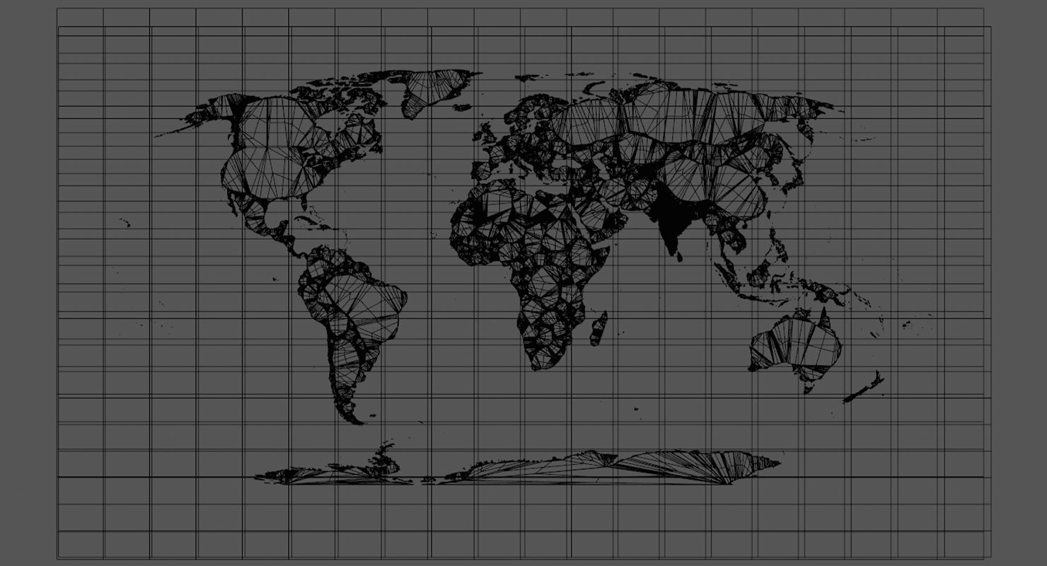
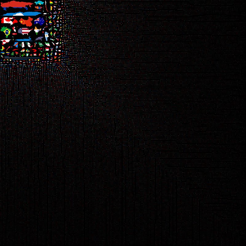
602,954 polygons and 899,080 vertices, quads and tris. Seamless textures, and four different realistic ocean materials are included so the water can be re-styled to match the graphics package.
Native Scene
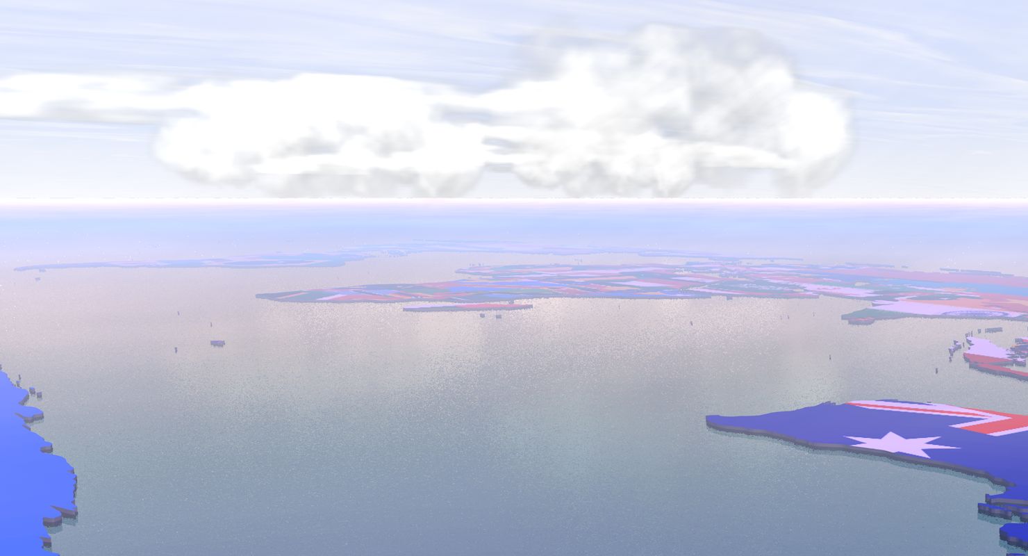
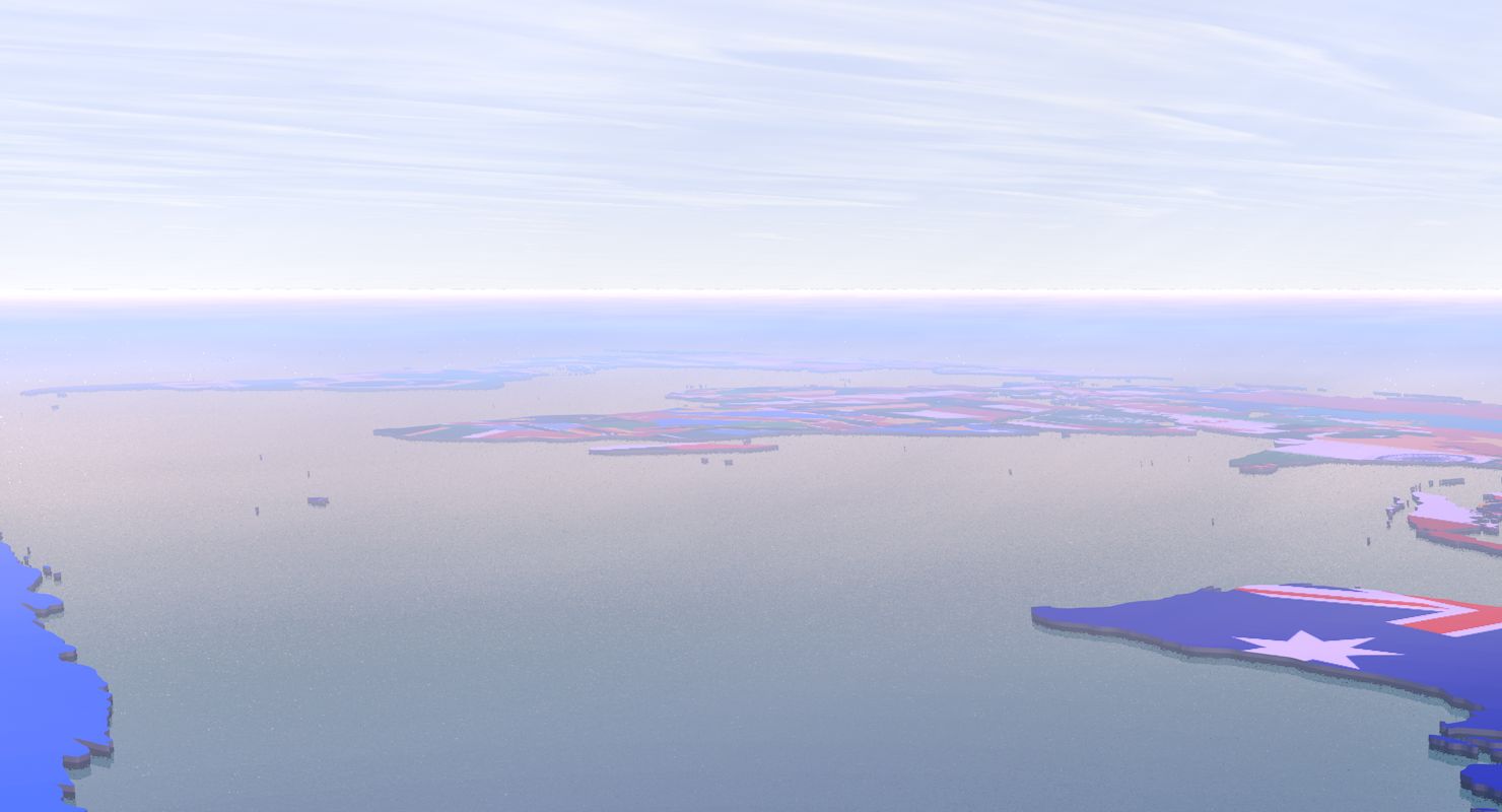
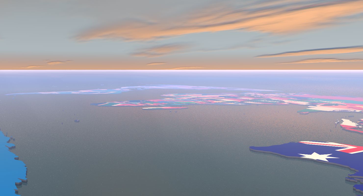
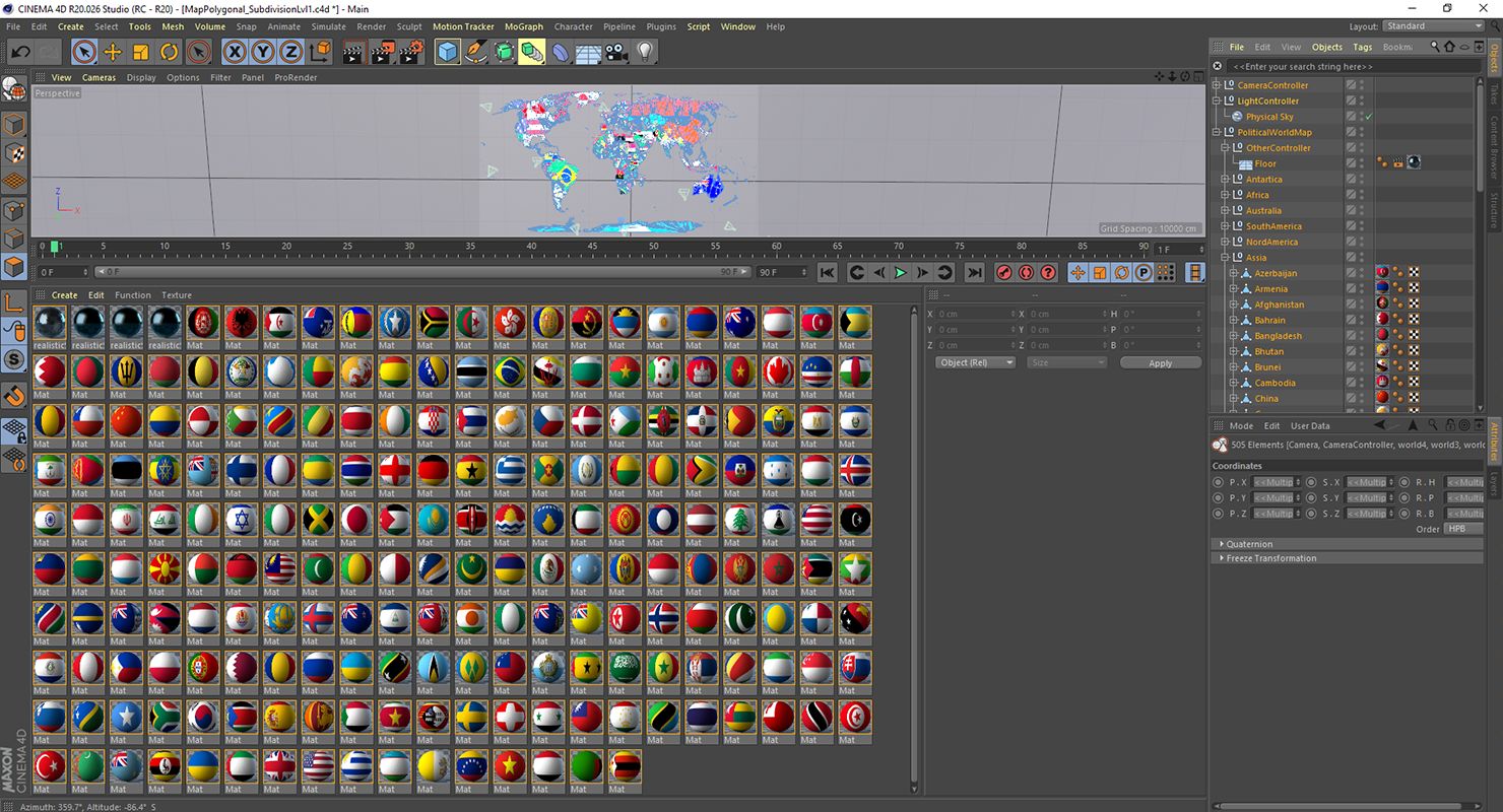
Cinema 4D R20. Two scene files are supplied: the main scene with a sky and atmosphere setup used for the close-range preview renders, and a second file without atmosphere. If a render comes out dark, switch to the no-atmosphere file or disable the sky object's atmosphere section.
Certification
CheckMate Pro certified. That review covers geometry integrity, object and material naming, hierarchy, orientation and real-world scale, so the globe drops into an existing scene without cleanup, renaming or rescaling.
NOT INCLUDED
Capital markers, city pins, place labels, connection arcs and flight paths. Star fields and space backdrops from the previews. Glow, bloom and colour grading added in post. HDRI environments, third party render engines and plug-ins.
Use Cases
Broadcast news graphics and election coverage, finance and market videos, trade and supply chain explainers, investor presentations, documentary and classroom geography, motion graphics loops and print stills.
리뷰
현재이 제품에 대한 리뷰가 없습니다.
얼음을 깬 첫 번째 사람이되지 않겠습니까?