



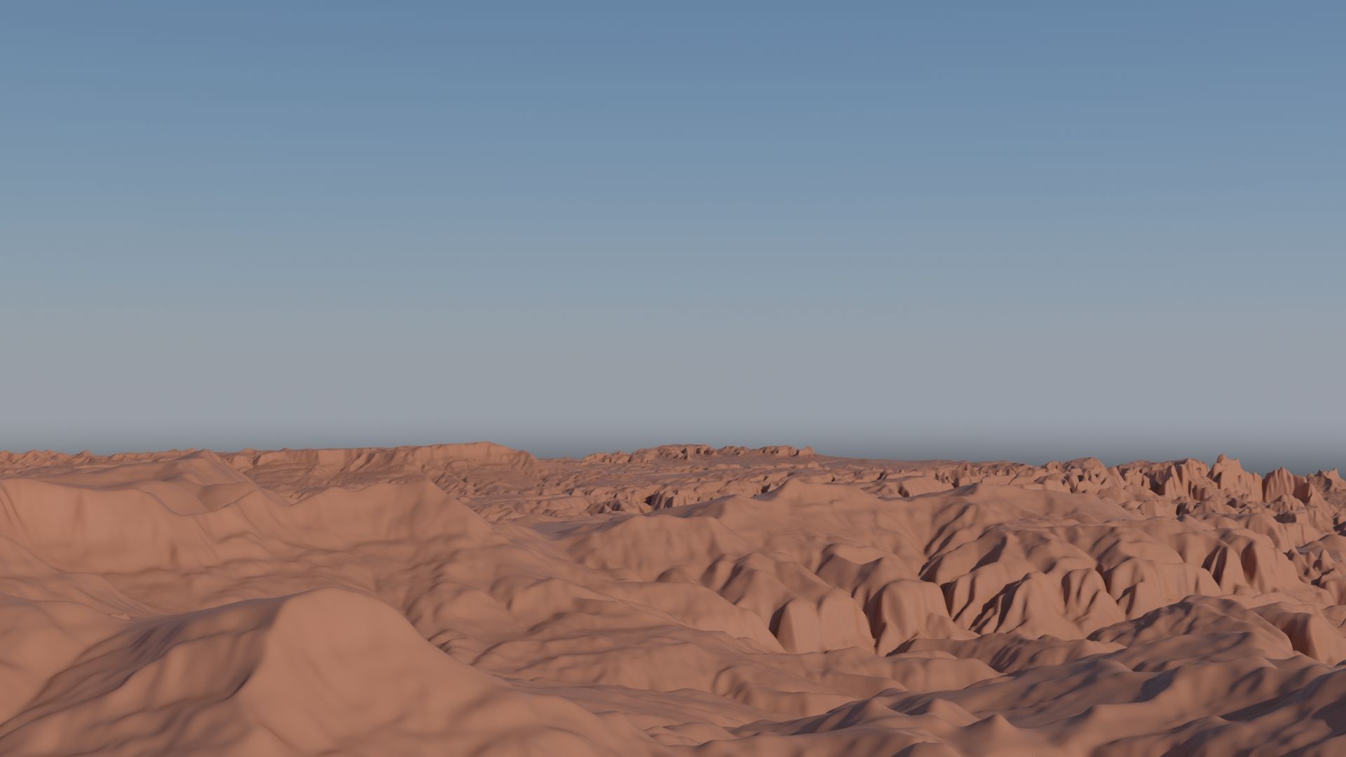
Zion national park elevation mesh 3D 모델




명세서
- 기하학polygonal_quads/tris
- 다각형3,845,000
- 정점들3,849,004
- 텍스처Yes
- 딱딱한No
- 생기 있는No
- 3D 인쇄 가능 준비No
- 게임 준비 (낮은 폴리)No
- UV 매핑 됨Yes
- 포장되지 않은 자외선none
기술
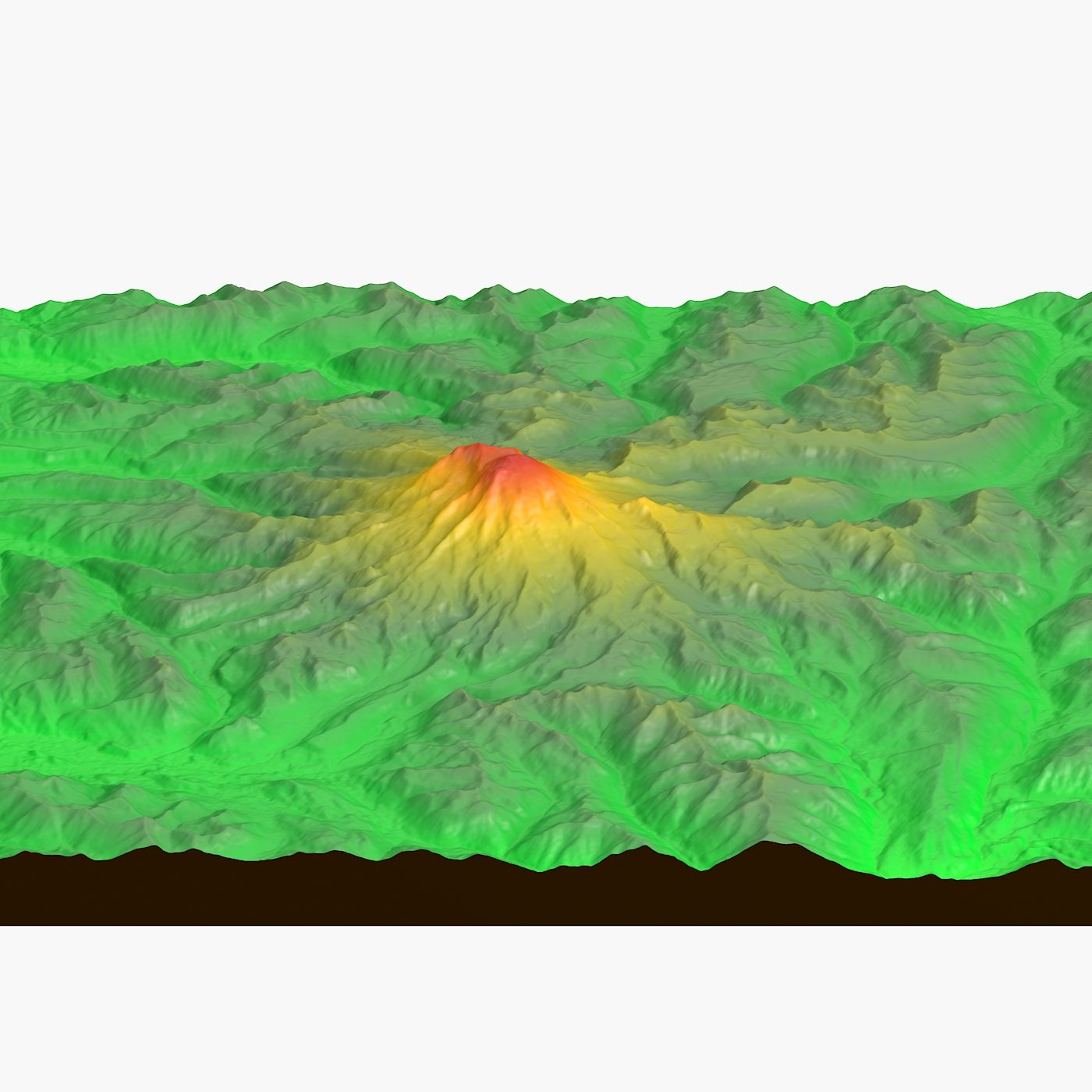
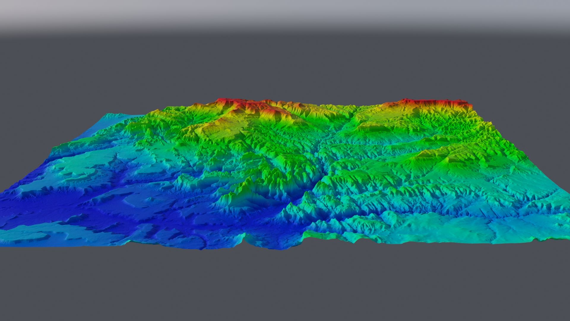
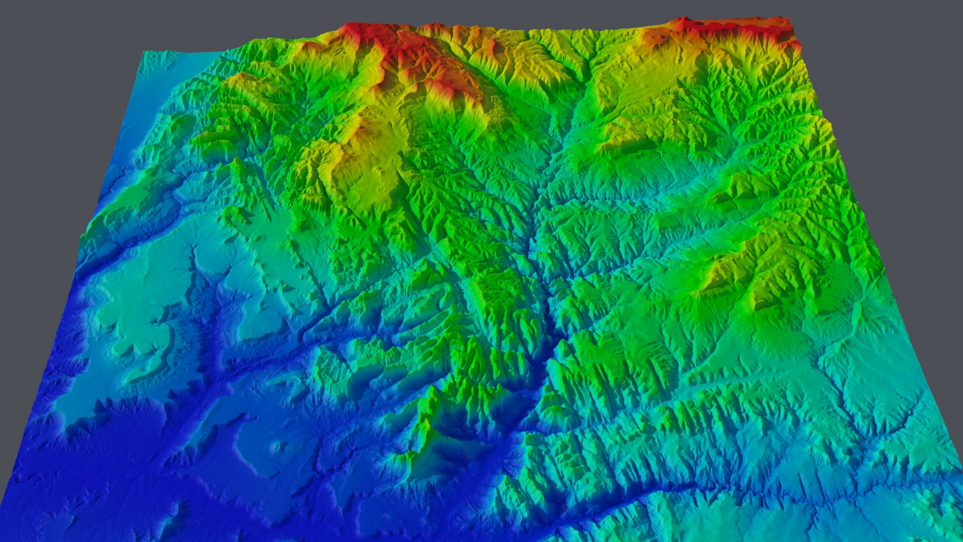
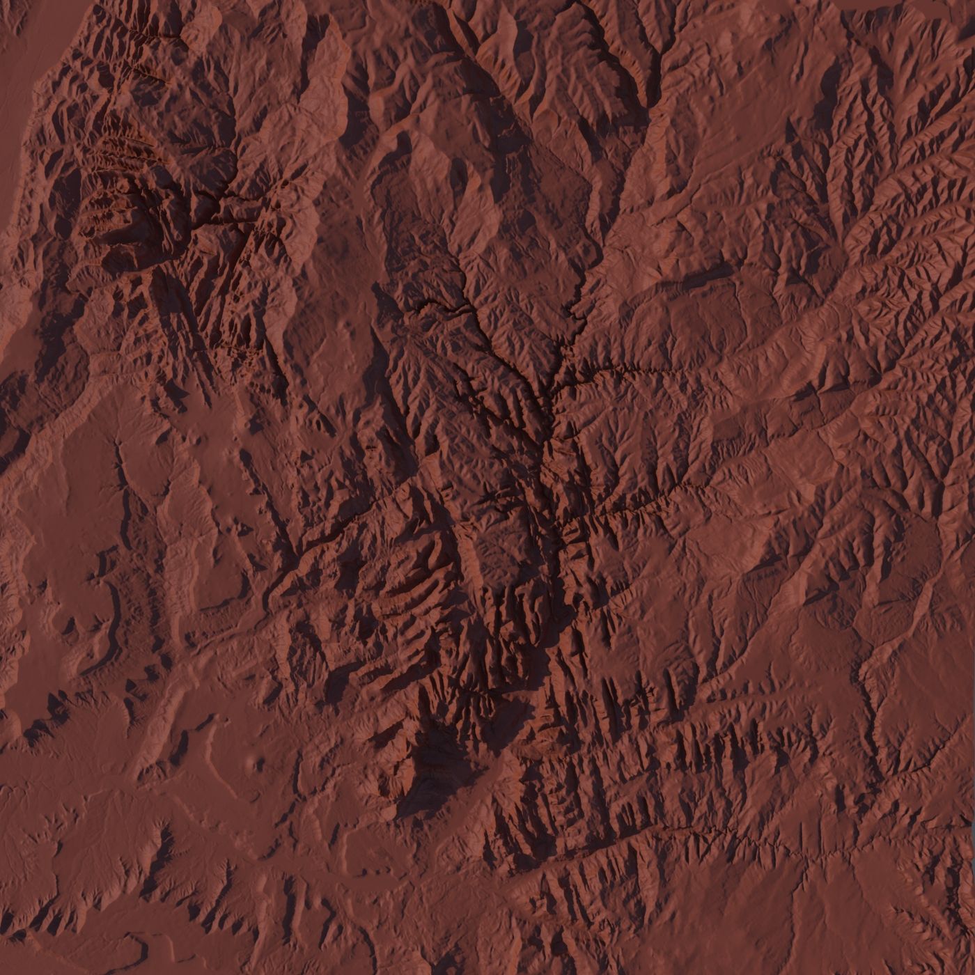
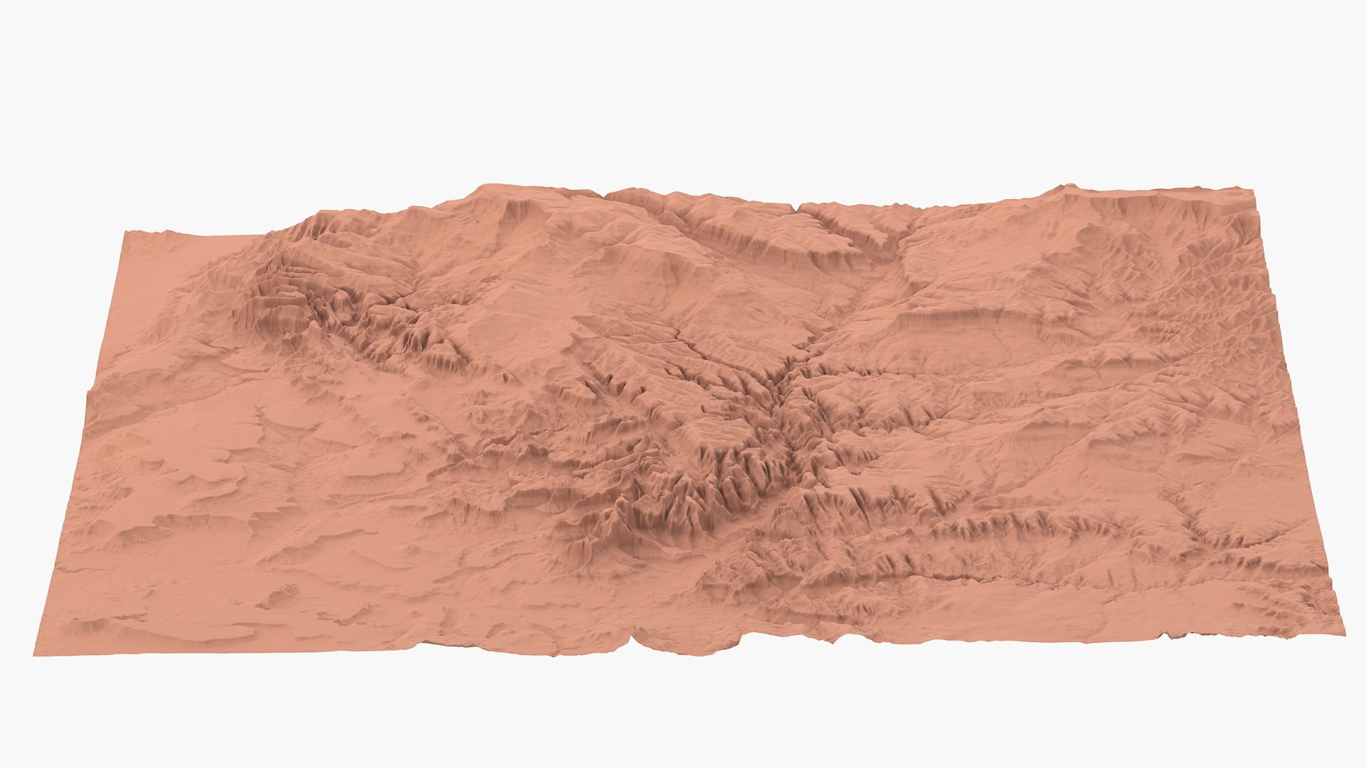
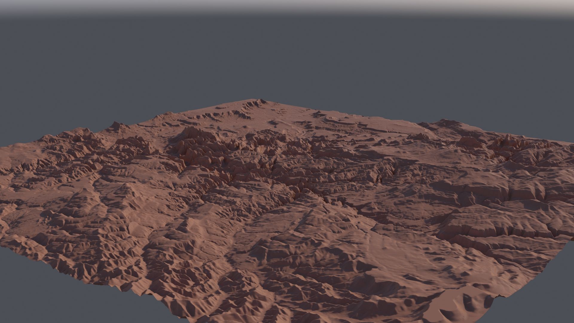
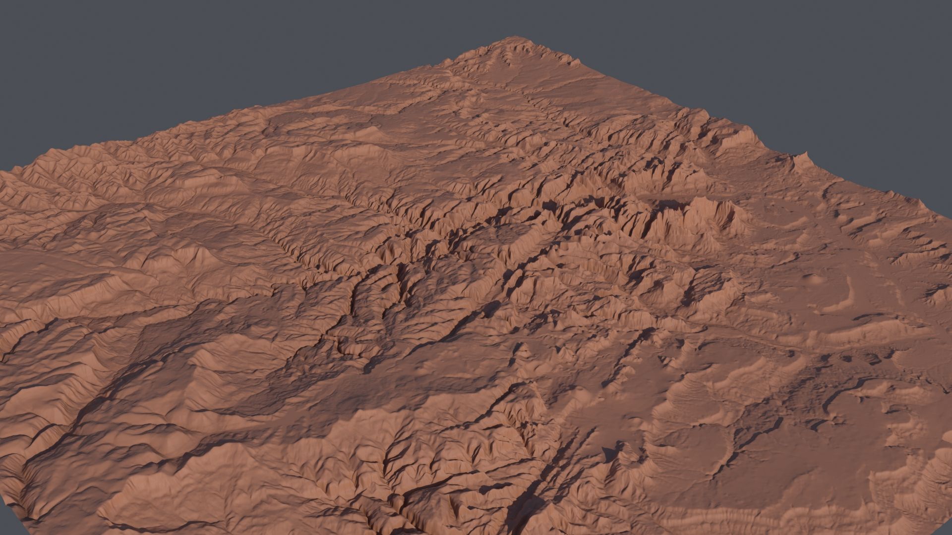
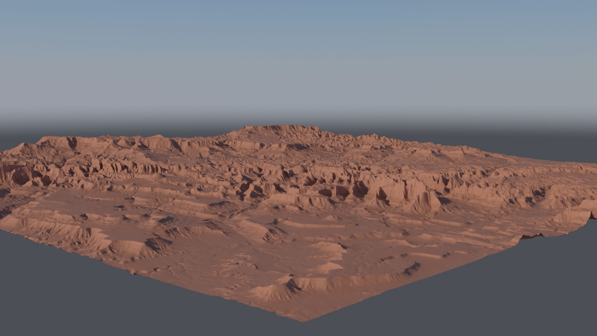
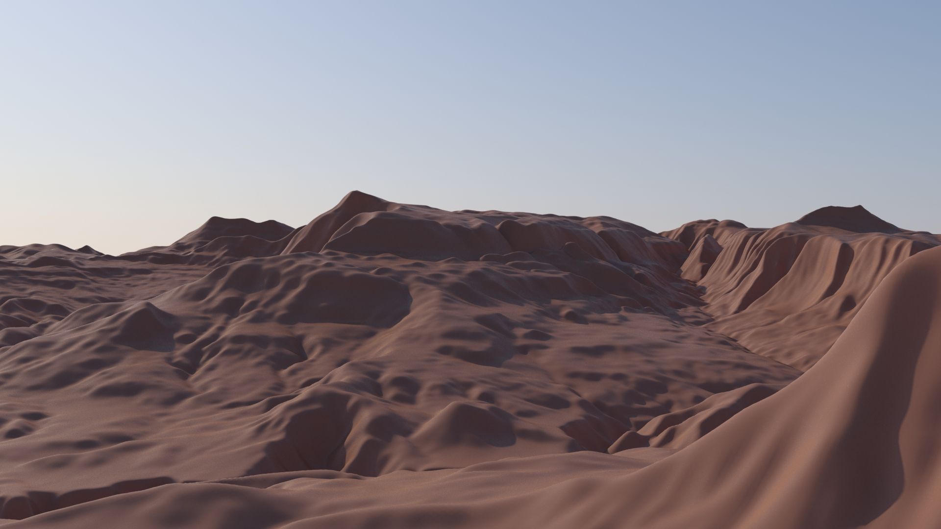
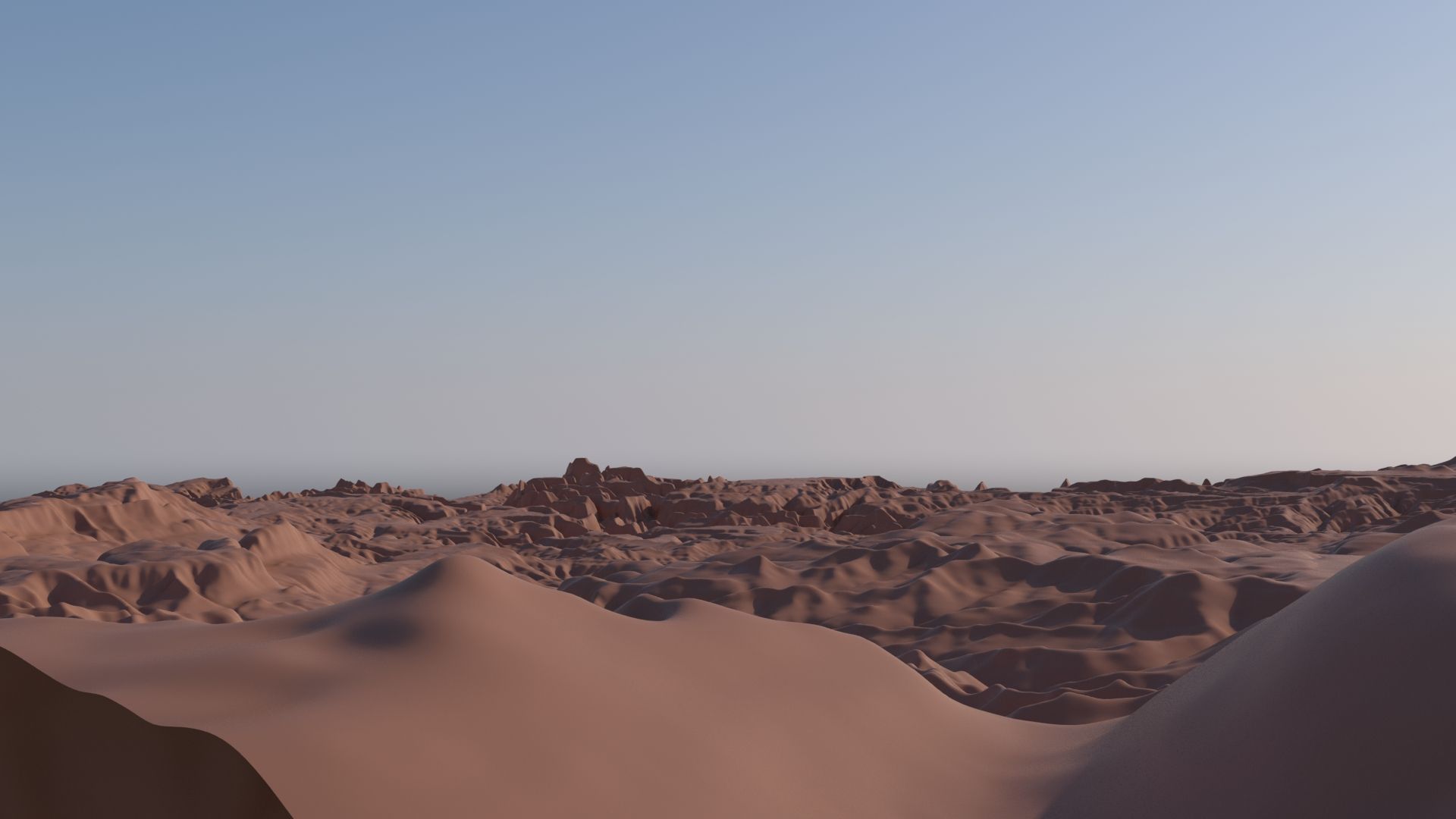
The model is accurate representation of real US Zion National Park, which is located in Utah. Based on quality landscape data. Spartial resolution for height map is 1/3 arc sec, or 10 meters per pixel. 4k displacement map allows increasing details up till 16 million polygons. Real world scale. The lowest point of the model is 992m (3254ft) and the highest is 3058m(10032ft). The x,y dimensions are 45000 meter or 147637 ft. Included: 3 models: - High detail model with 2,56 million polygons. - Medium detail model with 640.000 polygons. - Low detail model with 160000 polygons. - Mental ray and standard materials. - 2 .tiff elevation gradient textures(as seen of preview images) - 4k displacement map, based of 10 m per pixel resolution (1/3 arc sec) - Product manual. Features: - Easy to use. - Quad based topology, 100 % quads. - All colors can be easily changed. - Everything is correctly, logically named, placed,... File formats: - max 2013 - .fbx 2014, 2010 - .obj Hope you like them! Also check my other 3d models by clicking on my user name to see complete gallery.
리뷰
현재이 제품에 대한 리뷰가 없습니다.
얼음을 깬 첫 번째 사람이되지 않겠습니까?