

Bahrein stad 3d stratenplan 3d model
1


Royalty-vrije LicentieAlle uitgebreide toepassingen
Eenvoudig rendement
Beste prijsgarantie
Werkt uit de doos
0
bezoeken

Ingezonden door
Mousecg
bestek
- Geometriepolygonal_ngons used
- polygonen785,990
- hoekpunten917,276
- texturesNo
- opgetuigdNo
- AnimatedNo
- Geschikt voor 3D-afdrukNo
- Game Ready (laag poly)No
- UV-gemappedYes
- Onverpakte UV'snone
Omschrijving
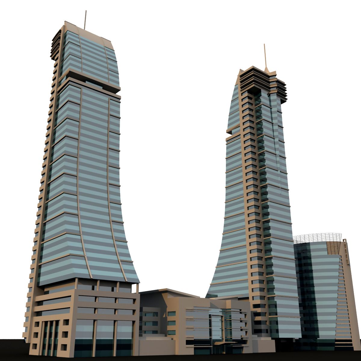
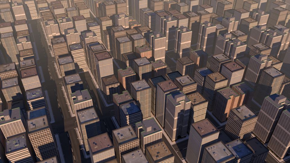
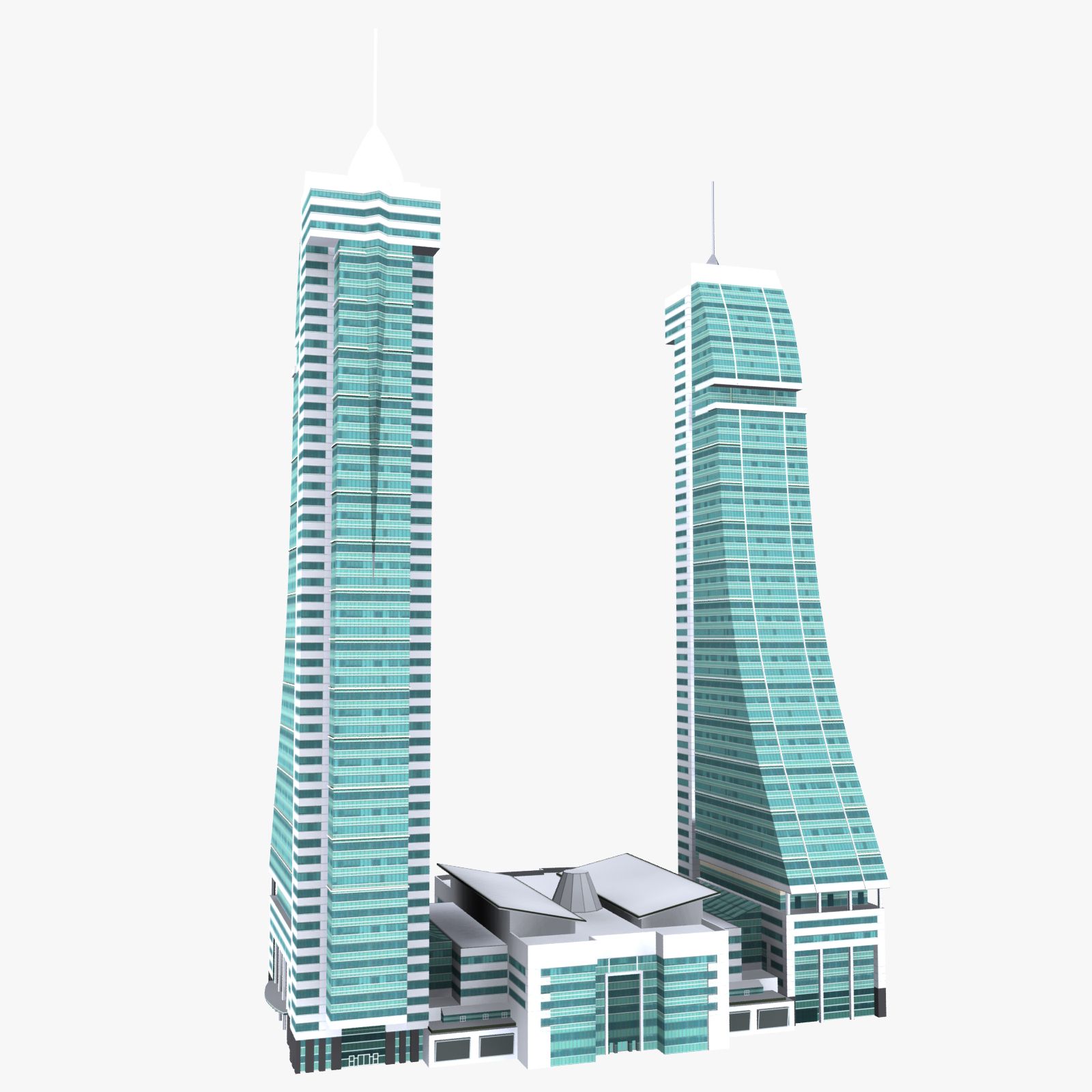
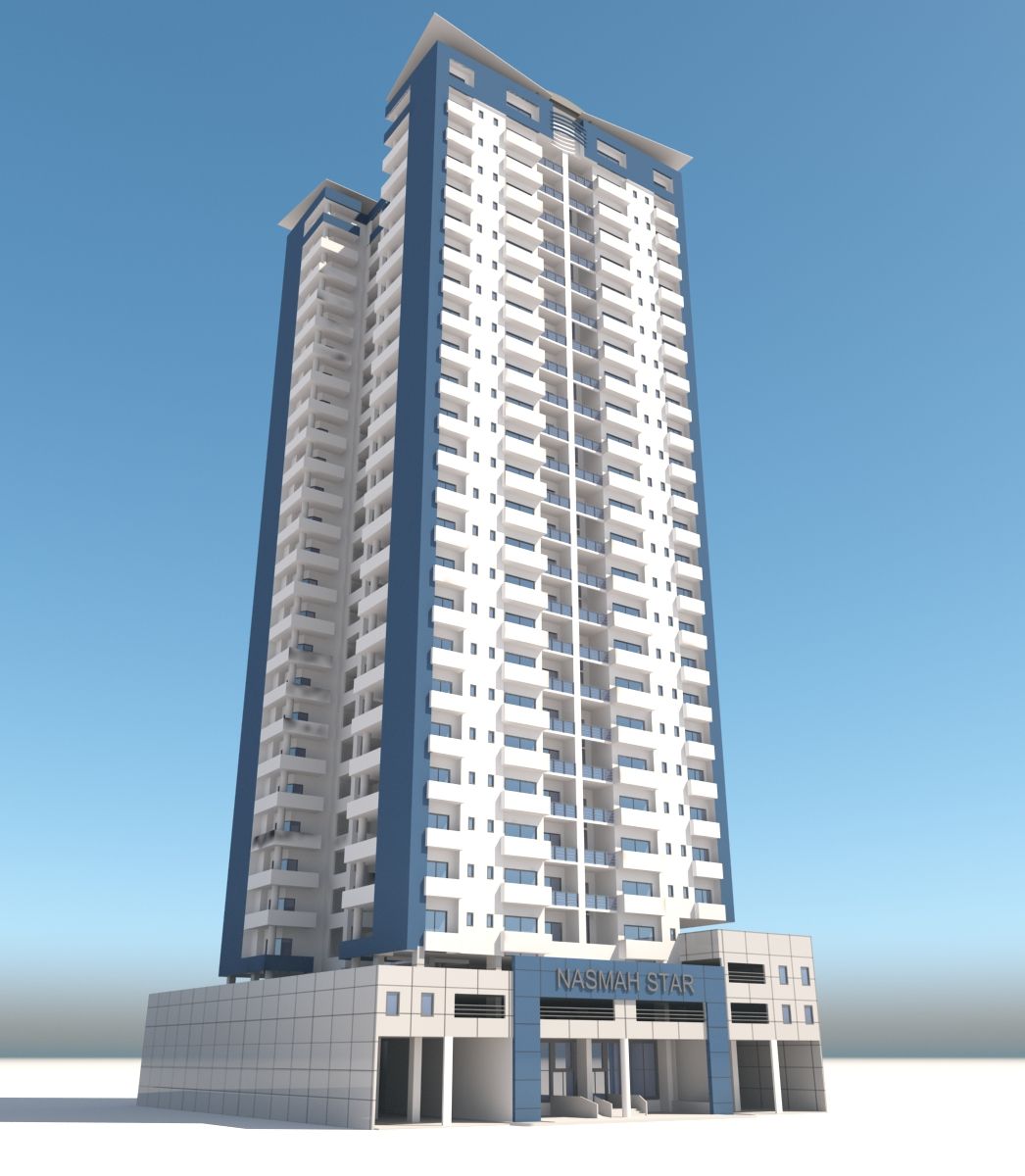
3d representation of Bahrain.
Buildings and roads, streets are modeled using real world data from open street map 2019. The heights and shapes are identical from open street map data. Please note that there may be missing buildings because no such real world data available in the repository.
All buildings are low poly and no textures applied. in order to easily apply textures the scene is loaded with basic materials.
For user convenience the scene is arranged hierarchically,
Buildings
Roads
Motorways
Primary roads
Secondary
Territory
Pedestrian
Footpaths
Residential
Other roads
Map data :OpenStreetMap contributors
If you are using Cinema 4d you can easily adjust the width of each roads.
There are two Cinema 4d files
Poly : all objects are converted to polygon
Parametric: Editable sweep curves included. You can easily adjust the width of roads.
The scene file is centered to the 0,0,0 axis and rotated to North. Scene file is set in centimeters.
Before purchasing thoroughly check the accompanying images. There is no texture, lighting, environment data are included.
This scene file is perfect for architectural, vfx renderings. You can easily apply projection mapping of real world images. If you are planning to use in games some works required.
** Feel free to ask for file conversion**
Sep 29, 2020
Datum toegevoegd
Aug 17, 2021
laatste update
beoordelingen
Er zijn momenteel geen beoordelingen voor dit product.
Waarom niet de eerste zijn om het ijs te breken?