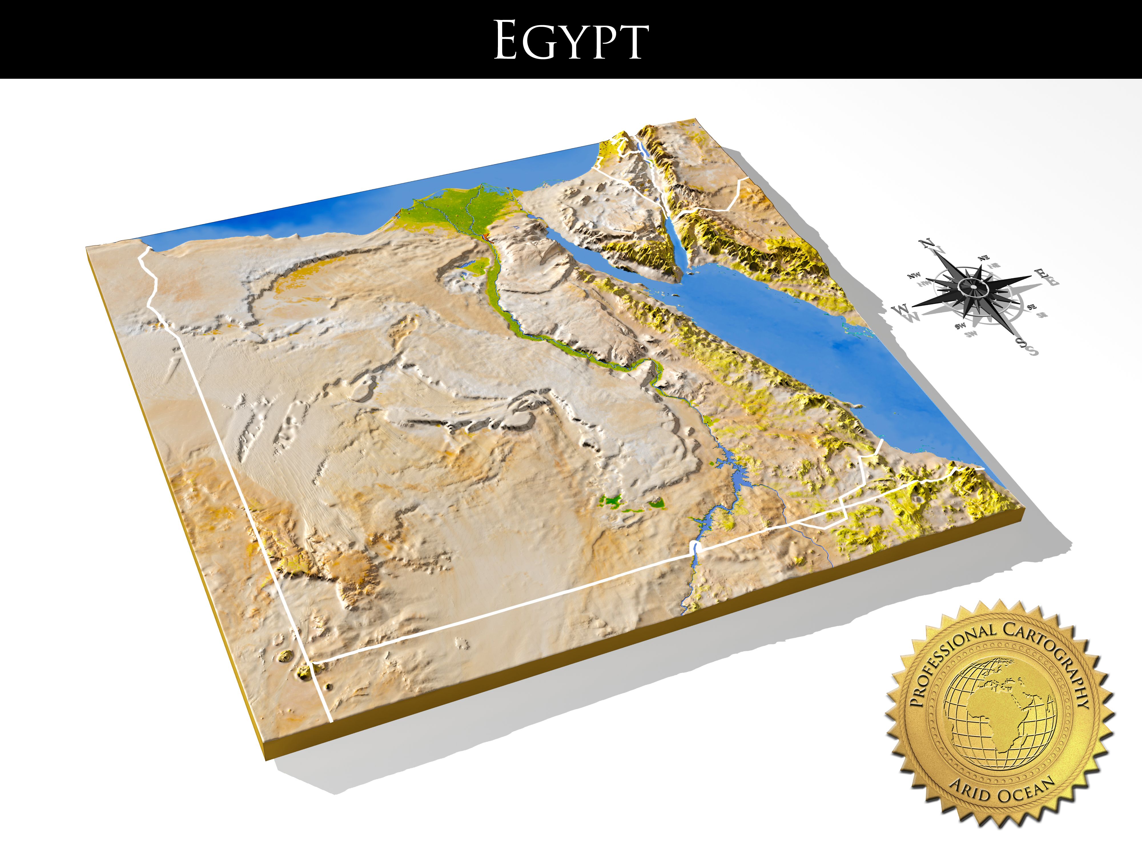


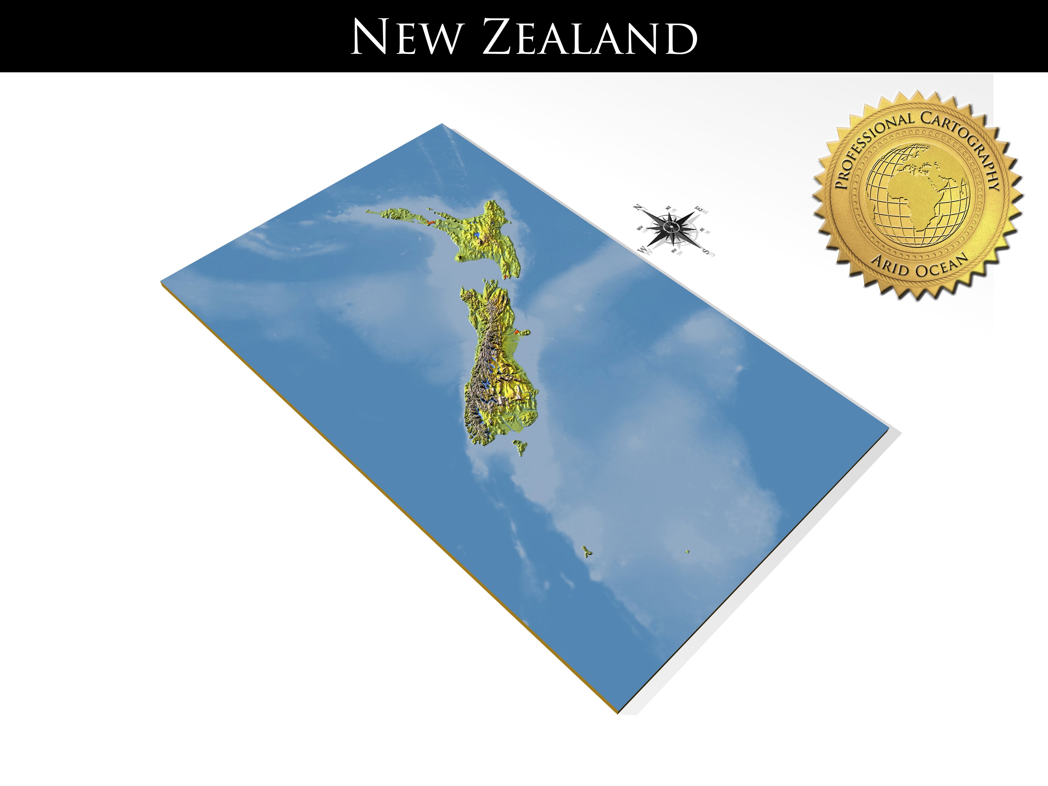


Duitsland, 3D-reliëfkaarten met hoge resolutie 3d model
0


0
bezoeken

Ingezonden door
AridOcean
bestek
- Geometriepolygonal_quads/tris
- polygonen833,379
- hoekpunten418,021
- texturesYes
- opgetuigdNo
- AnimatedNo
- Geschikt voor 3D-afdrukNo
- Game Ready (laag poly)No
- UV-gemappedYes
- Onverpakte UV'smixed
Omschrijving
Germany, High resolution 3D relief maps
The set contains three models: a 3D relief map of Germany with surrounding area, a separate 3D relief cutout of the state area, and a separate plain cutout
of the state outline.
The map projection is Mercator. Geographic extents: W:5.5; E:15.5; S:47; N:55.5.
The 3D relief is taken from reprojected NASA shuttle radar topography data, with the elevation exaggerated.
The 3D relief is baked into a 552x750 mesh with 833379 polys, 418021 vertices (for the main map).
An additional 16-bit bump texture is used for fine-grained detail of the 3D relief.
The texture is rendered from color processed NASA satellite images. Included are borders, cities, rivers and water areas.
Separate b/w texture masks are included for:
- state area
- state exterior
- land/ocean areas
- rivers and inland water areas
- cities
- borders
A multi-layered material (3ds Max version only) together with the provided texture masks allows extensive changes to the appearance of the 3D relief map.
Possible customizations include different colorings or complete removal of separate features like cities or borders, or different colorings for
the state area and the surroundings.
A description of the multi-layered material and texture masks can be found in the accompanying PDF-manual.
Previews are rendered with mental ray, but the project uses only standard materials.
The .obj and .fbx versions will require new texture assignments after import.
The .obj format is exported as triangles.
The compass rose is included as a bonus.
Sep 28, 2020
Datum toegevoegd
Feb 10, 2022
laatste update
beoordelingen
Er zijn momenteel geen beoordelingen voor dit product.
Waarom niet de eerste zijn om het ijs te breken?