

 3d model")


Powierzchnia podłoża Morza Martwego 16K (2) Model 3D
0


Licencja bezpłatnaWszystkie rozszerzone zastosowania
Proste zwroty
Gwarancja najlepszej ceny
Działa po wyjęciu z pudełka
0
Odwiedziny
Przesłane przez
Asset Scan 3d
Specyfikacje
- Geometriapolygonal_quads only
- Wieloboki16,500
- Wierzchołki8,520
- TeksturyYes
- RiggedNo
- OżywionyNo
- Gotowy do druku 3DNo
- Game Ready (low poly)No
- Mapowanie UVYes
- Nieopakowane UVnon-overlapping
Opis
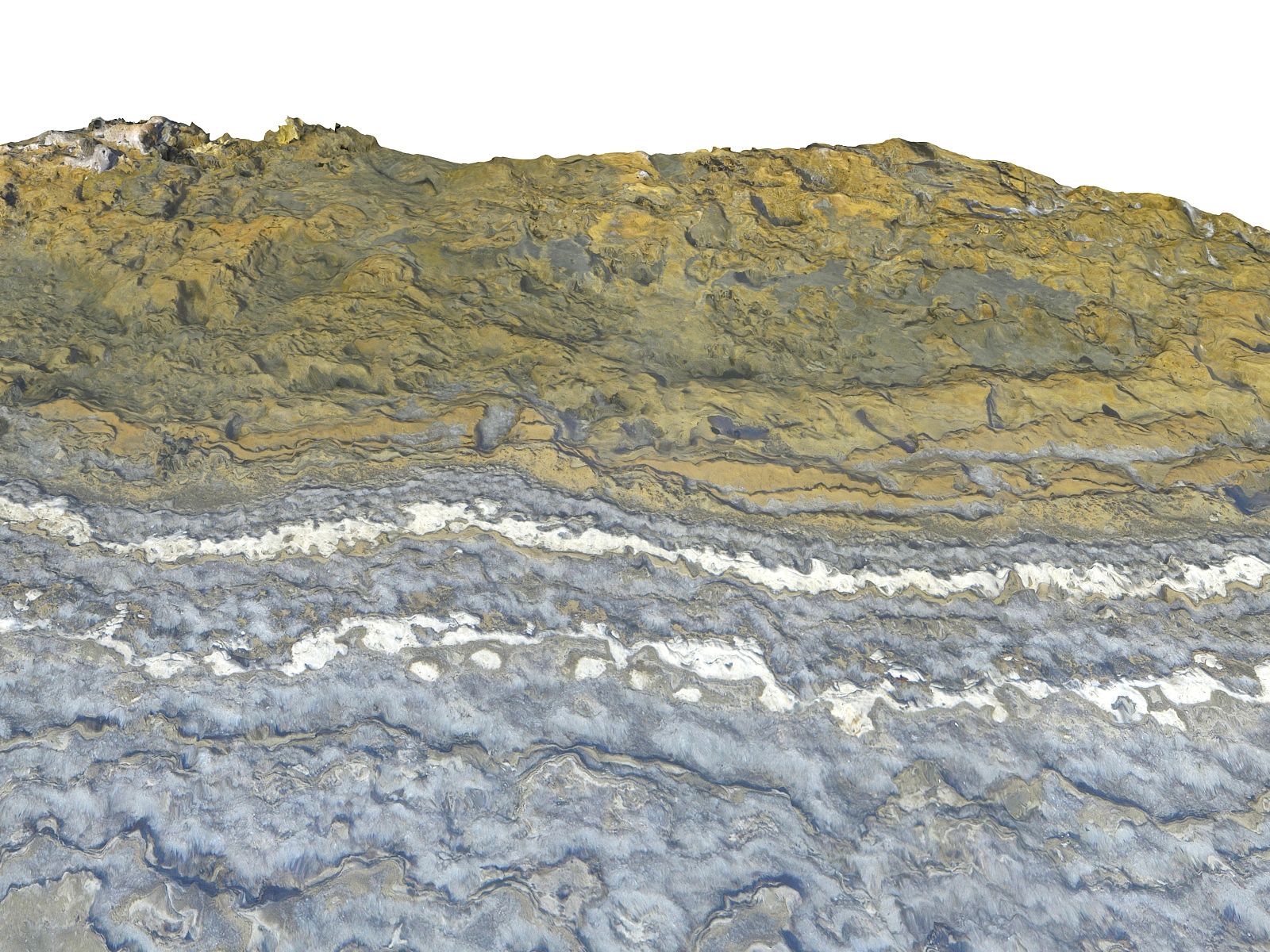
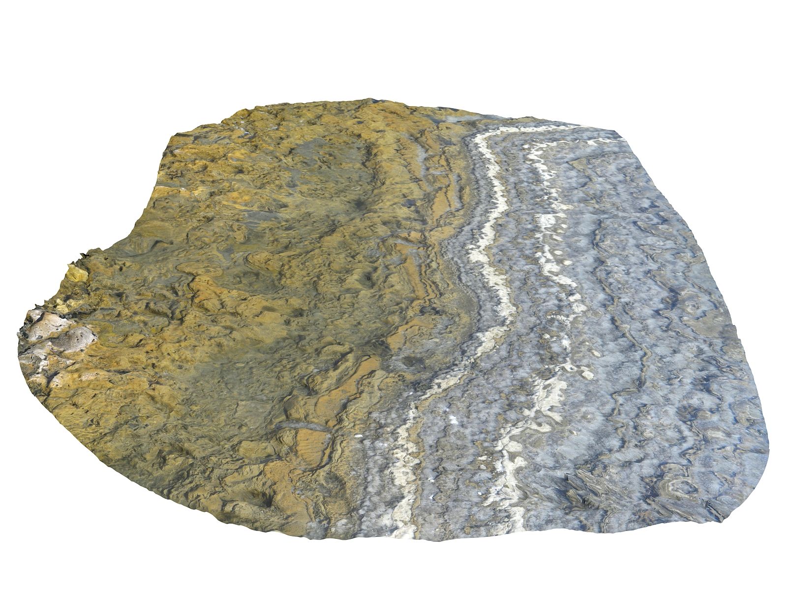
Dead Sea Subsoil Surface 16K (
It will allow to make infinite 3d surfaces as ground of salt lake
Models scanned.
Amazing detail of the model.
UV map optimally packed
Includes 6 models in different resolutions.
HD & LP+ GAME READY
Models : HI / LP / LOD 16500 - 35026208 Faces
Quad model tessellation ready
Color Maps 16K 16386*16386
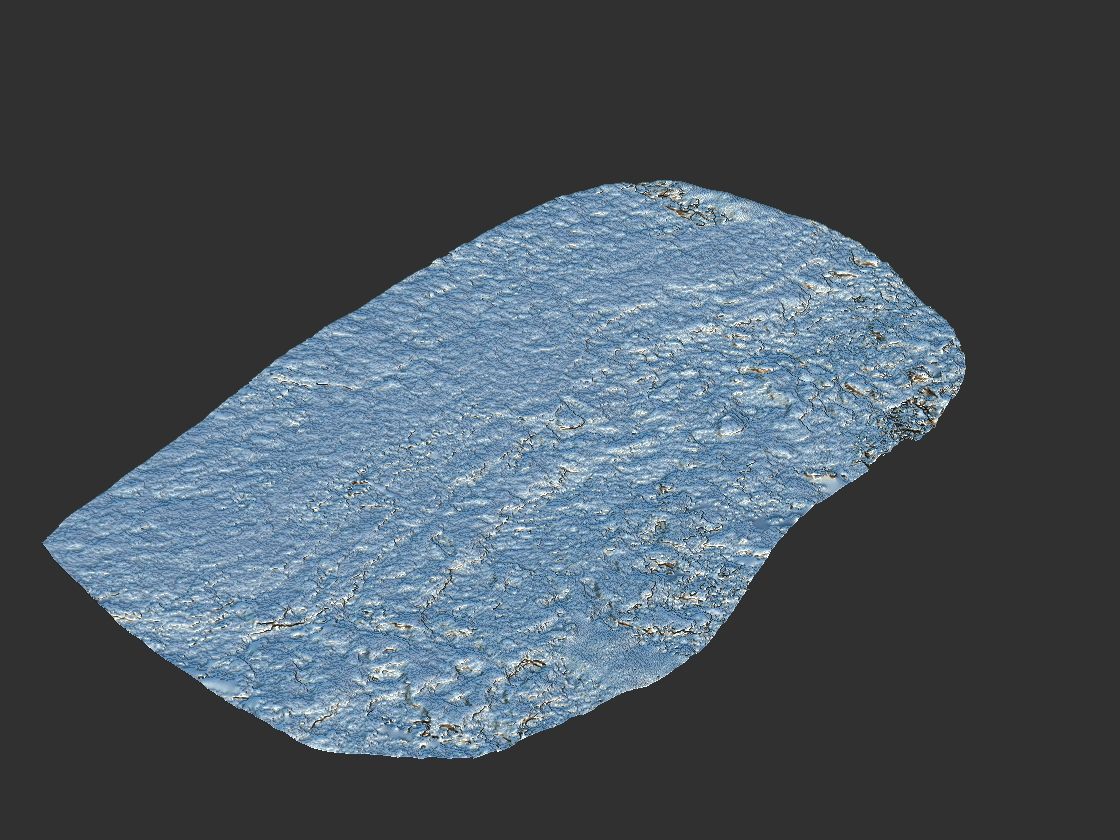
Normal Maps 4096 * 4096
Height Maps 4096 * 4096
Occlusion Map 4096 * 4096
Cavity Map 4096 * 4096
+
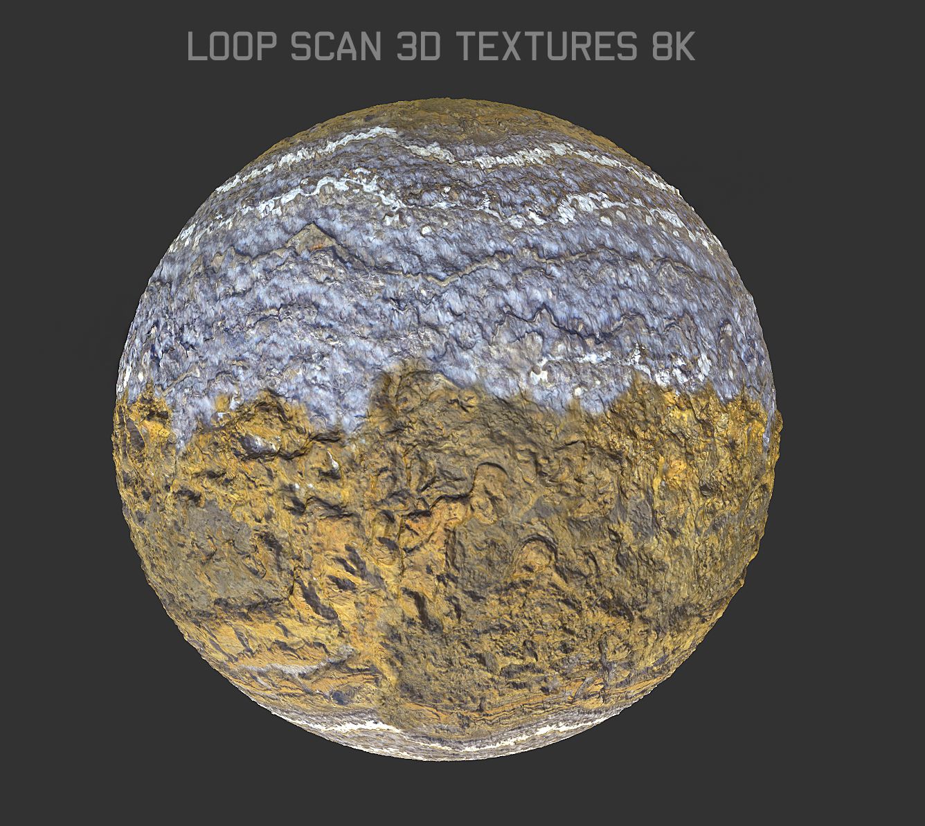
Loop Scan Textures
Color Maps 8192*8192
Normal Maps 4096 * 4096
Height Maps 4096 * 4096
Occlusion Map 4096 * 4096
Cavity Map 4096 * 4096
Earth's lowest elevation on land. It is 304 m (997 ft) deep, the deepest hypersaline lake in the world. With a salinity of 342 g/kg, or 34.2% (in 2011), it is one of the world's saltiest bodies of water[7] 9.6 times as salty as the ocean and has a density of 1.24 kg/litre, which makes swimming similar to floating.[8][9] This salinity makes for a harsh environment in which plants and animals cannot flourish, hence its name. The Dead Sea's main, northern basin is 50 kilometres (31 mi) long and 15 kilometres (9 mi) wide at its widest point.[
Also check out my other models, just click on my user name to see complete gallery.
Asset scan 3d
Dec 28, 2019
Data dodania
Feb 20, 2022
Ostatnia aktualizacja
Recenzje
Obecnie nie ma recenzji tego produktu.
Dlaczego nie być pierwszym, który złamie lód?