

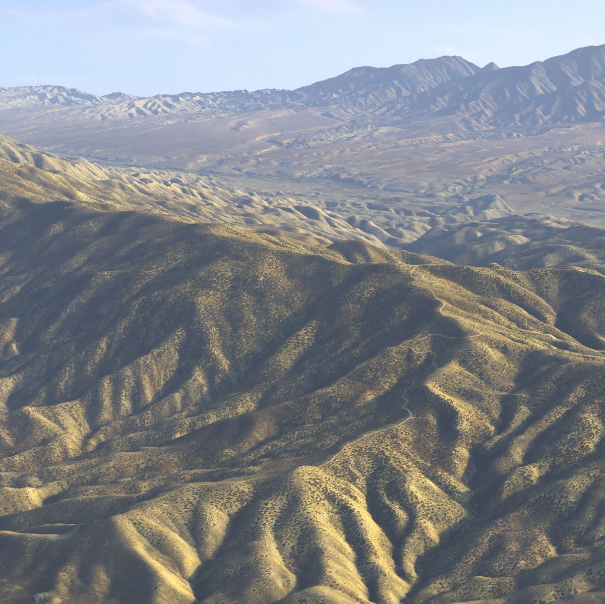

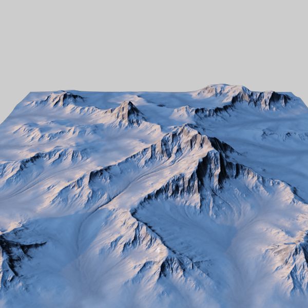


Terreno em grande escala - Nevada Modelo 3D


Especificações
- Geometriapolygonal
- Polígonos2,044,509
- Vértices2,047,417
- TexturasYes
- RiggedNo
- AnimadoNo
- Pronto para impressão em 3DNo
- Jogo pronto (baixo poli)No
- Mapeado por UVYes
- UVs não enroladosnon-overlapping
Descrição
The model represents a large scale region from Nevada desert, US. This region is bounded with approximation by Savory Mountain in the North, Moonshine Peak in the North - West , Fishhook Ridge in the East, Morey Peak in the South - East and the Tulle Mountain and Table Mountain in the South - West . Excellent for presentations, aerial views or fly-through. The terrain comes with multiple mesh and texture resolutions that allows a great flexibility.
For more details, please read the public description .pdf file from the preview section. To keep the file size to a minimum, all the maps that are packed with the model are at the lowest resolution.They are very easy to be replaced with higher resolution ones. ============================================ FEATURES: - 56 x 48 kilometers terrain area ( around 35 x 30 miles ) ; - up to 56k x 48k texture resolution ; - all meshes are quads ; - multiple options for the terrain mesh resolution from 700k to 8 million polygons ; -scenes are using a proper linear workflow (please read the attached documentation); - all the .fbx files have all the textures embeded ; - all the lights and atmospheric effects are included ; - the model needs no subdivisions (though it is subdividable); - proper documentation (see the attached pdf files) ============================================ MESH RESOLUTIONS: Every scene have two meshes , on two different layers (except the Blender scene). - a 714640 (700k) polygon faces preview mesh (hidden layer); - a 2 044 509 (2 million) polygon faces mesh (visible layer) ; OPTIONAL: - 8 186 241 (8 million) polygon faces in obj format; - 6 138 320 (6 million) polygon faces in obj format; - 4 090 149 (4 million) polygon faces in obj format; - 3 065 311 (3 million) polygon faces in obj format; - 1 020 085 (1 million) polygon faces in obj format; If you need a higher resolution mesh simply import the corresponding obj file and drop the terrain material on it. ============================================ MAPS : - 12288 x 14336 (14k) multi tiled color map ; - 15360 x 17920 (17k) multi tiled normal map; - 8192 x 4096 color map for the sky dome; - 7022 x 8192 (8k) color map for the preview mesh; OPTIONAL : - 49152 x 57344 (56 k) multi tiled color map ; - 30720 x 35840 (35k) multi tiled normal map ; - 24576 x 28672 (28k) multi tiled color map ;
The Maya tiled textures does not support relative paths so the new textures paths must be reloaded ! The textures are in jpg file format at maximum quality.The uncompressed .tiff files are available at the highest resolution. All the scenes share the same textures - no modifications are needed from one format to another (except .hdr maps).To use the optional maps please extract the maps with the desired resolution and place them in the same directory by simply replacing the existing maps. ============================================ PRESENTATION IMAGES : The presentation images were rendered using the highest resolution mesh and maps in V-Ray for Maya 2020.4 , except some images rendered with 3ds max V-Ray, Arnold or MentalRay (legacy) which are labeled as such. The model measures 10 000 units in length and 8570 units in width.The units are centimeters.
Rever
Atualmente não há comentários para este produto.
Por que não ser o primeiro a quebrar o gelo?