



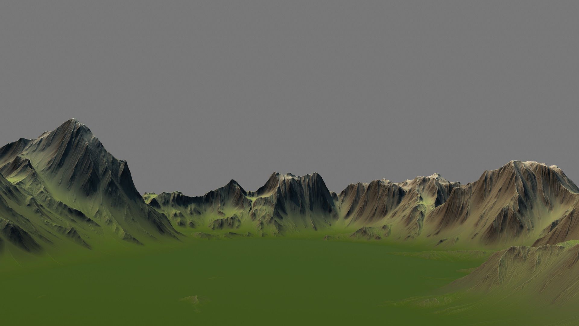

Terräng i området kring Baalbek-megalittempel 3D-modell
0


0
besök

Insänd av
Gibmation
Specifikationer
- Geometripolygonal_quads/tris
- polygoner490,050
- hörn246,016
- strukturerYes
- riggadeNo
- AnimeradNo
- 3D Printable ReadyNo
- Spelklar (låg poly)No
- UV MappadYes
- Unwrapped UVsnon-overlapping
Beskrivning
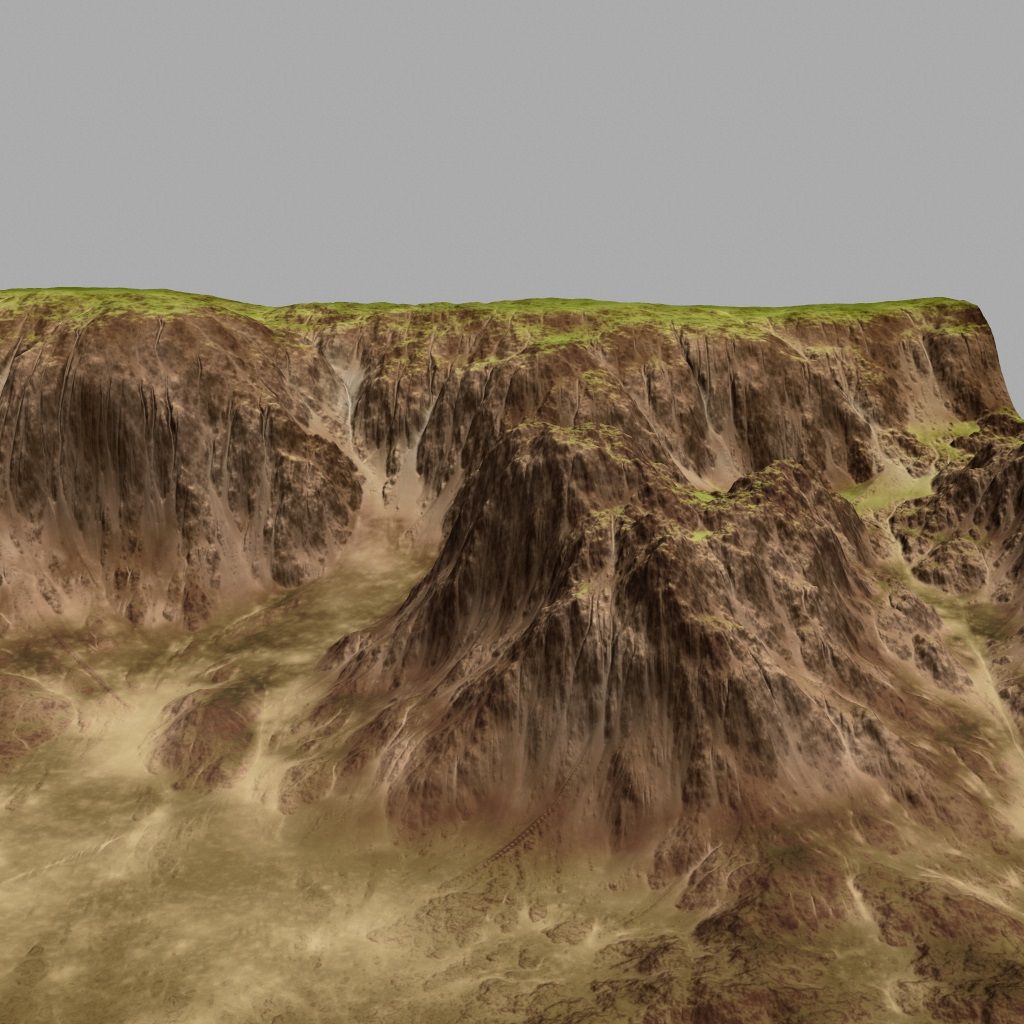
Baalbek is home to various roman temples that appear to be built over older Megalithic sites as some archealogists suggest.
Baalbek is a city in the Anti-Lebanon foothills east of the Litani River in Lebanon's Beqaa Valley, about 85km northeast of Beirut and about 75km north of Damascus.
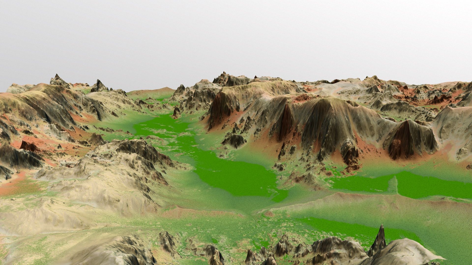
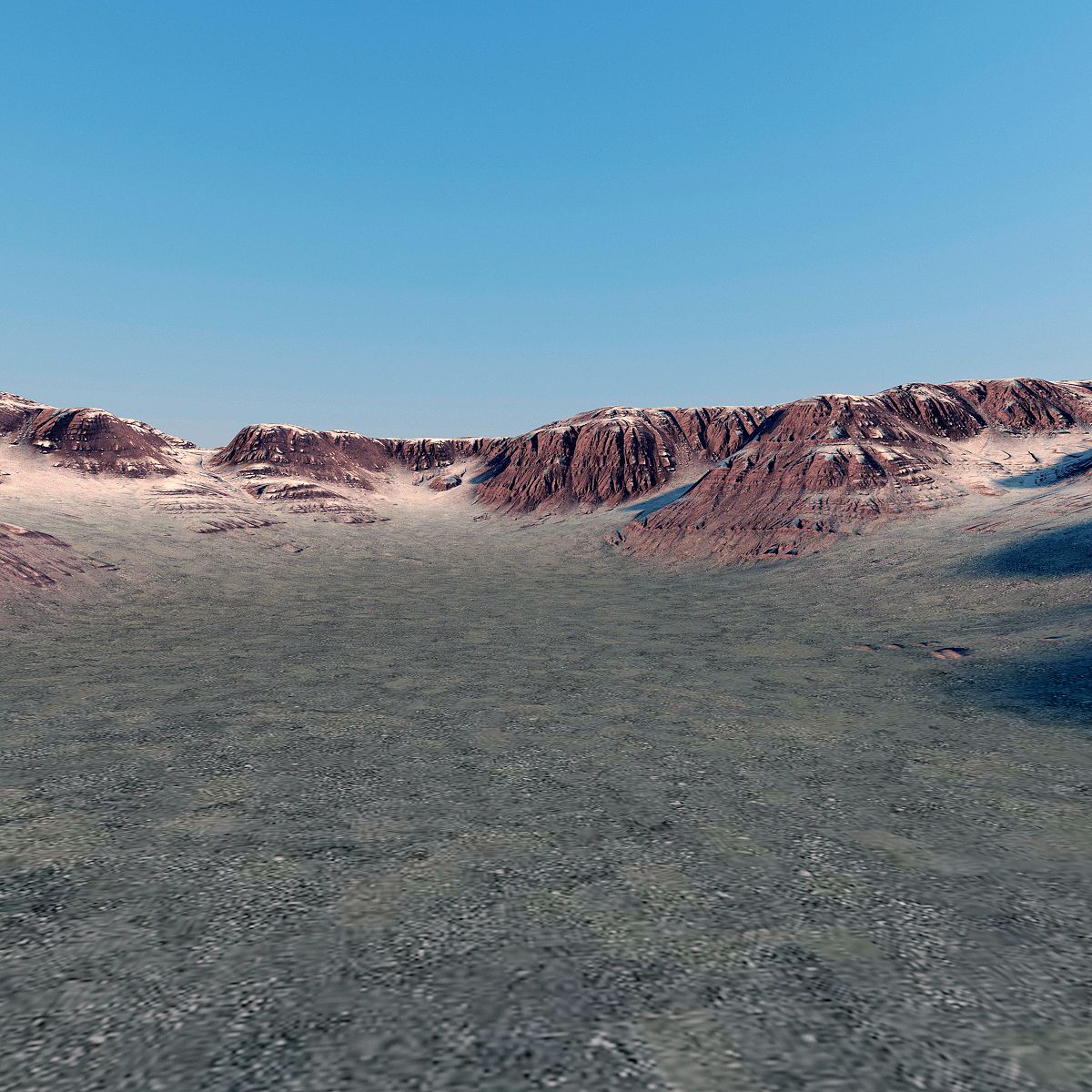
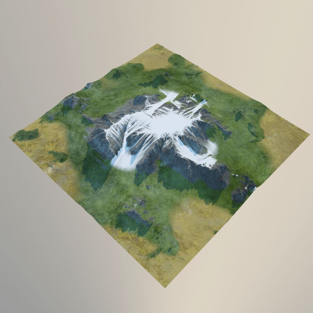
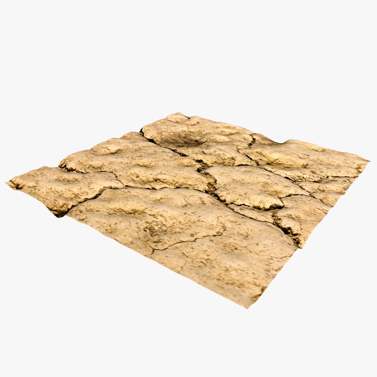
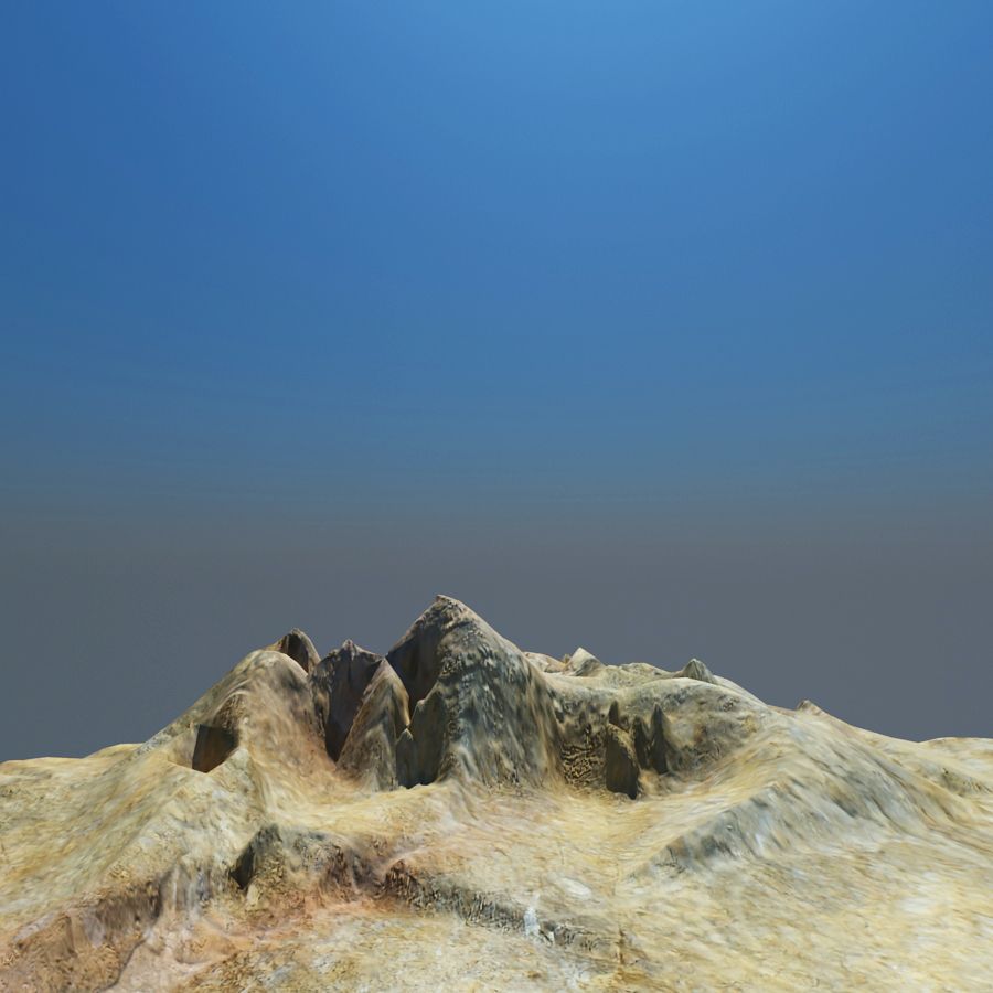
This is a low res model of the terrain surrounding the Baalbek temples.
This model is suitable for 3D presentations, landscaping, Architectural Visualization, video production, simulation of walk throughs and navigation/gaming.
Should be possible to overlay/project realworld GPS coords using WGS84.
Constructed from GIS contour elevation data from different data sources combined and enhanced with different filters and erosion techniques to produce a real world style likeness.
Terrain tiles have been stitched to produce a single seamless low res model which provides a scale accuracy of about 1:1m.
This Terrain model does not include any buildings, trees or any other similar features - only the terrain model is included.
Apr 22, 2026
datum tillagt
Apr 22, 2026
senaste uppdateringen
recensioner
Det finns för tillfället inga recensioner för denna produkt.
Varför inte vara den första som bryter isen?