


 3d model")
Istanbul 40 x 40 km 3D-stadskarta 3D-modell


Specifikationer
- Geometripolygonal_ngons used
- polygoner2,671,189
- hörn3,238,865
- strukturerNo
- riggadeNo
- AnimeradNo
- 3D Printable ReadyNo
- Spelklar (låg poly)No
- UV MappadYes
- Unwrapped UVsnone
Beskrivning
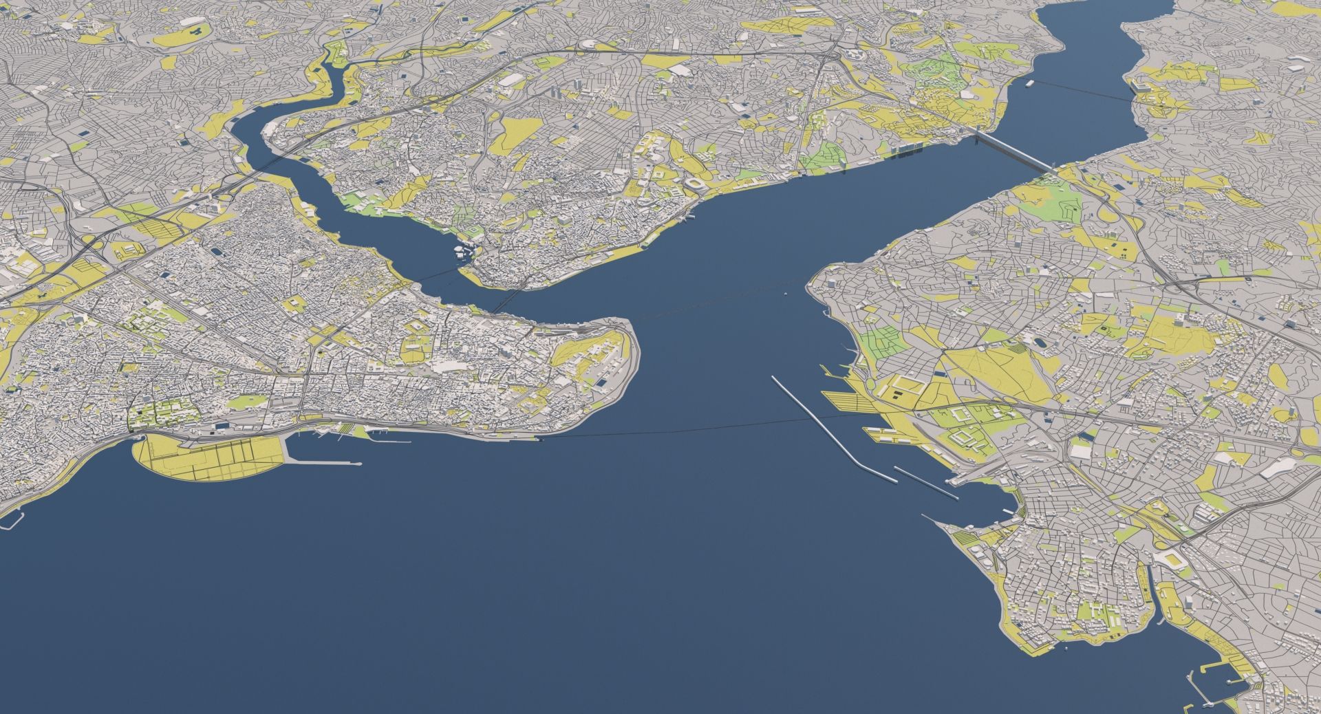
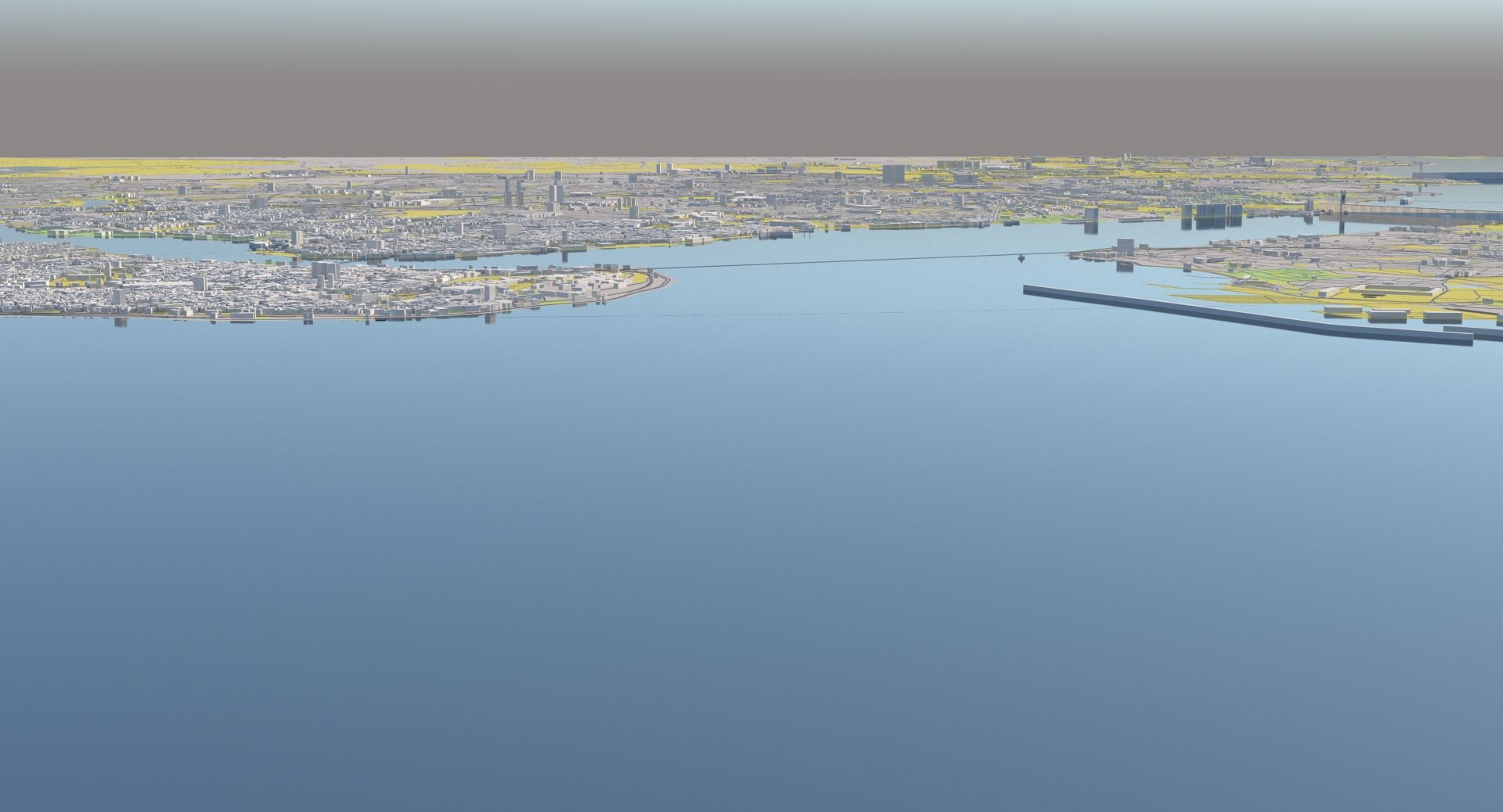
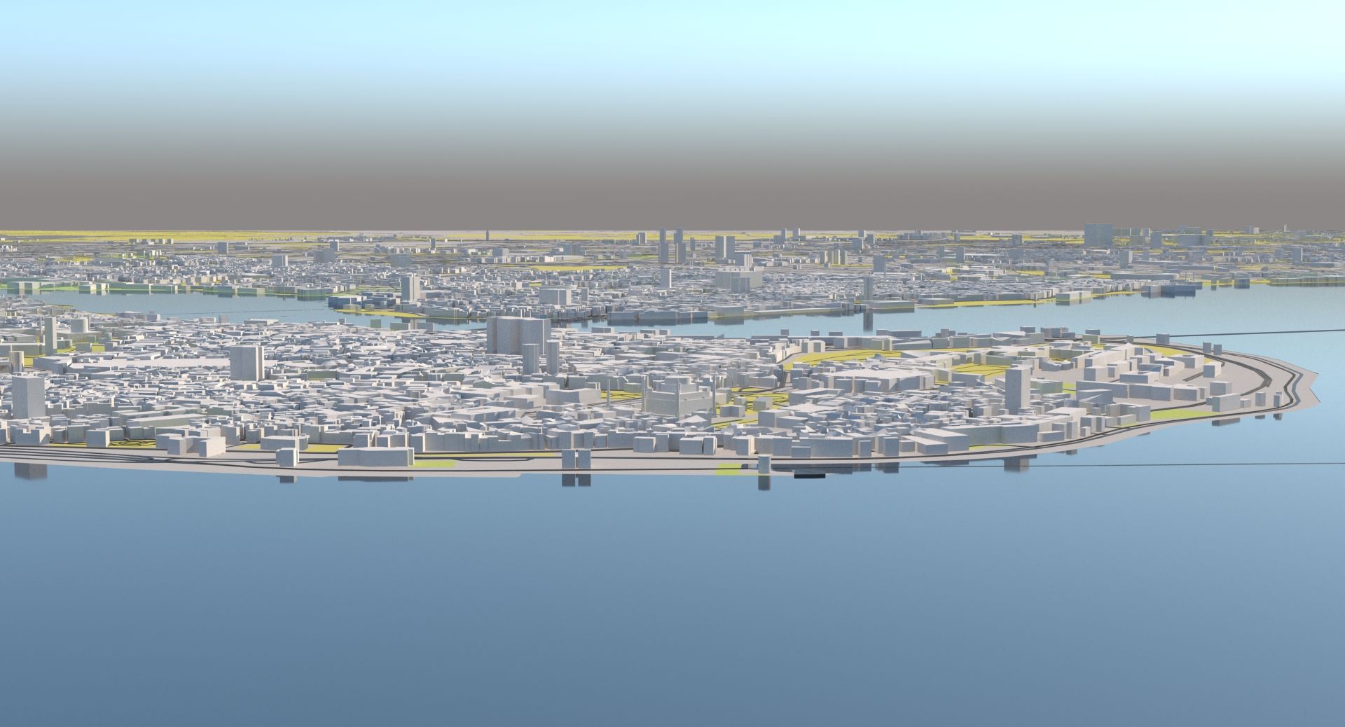
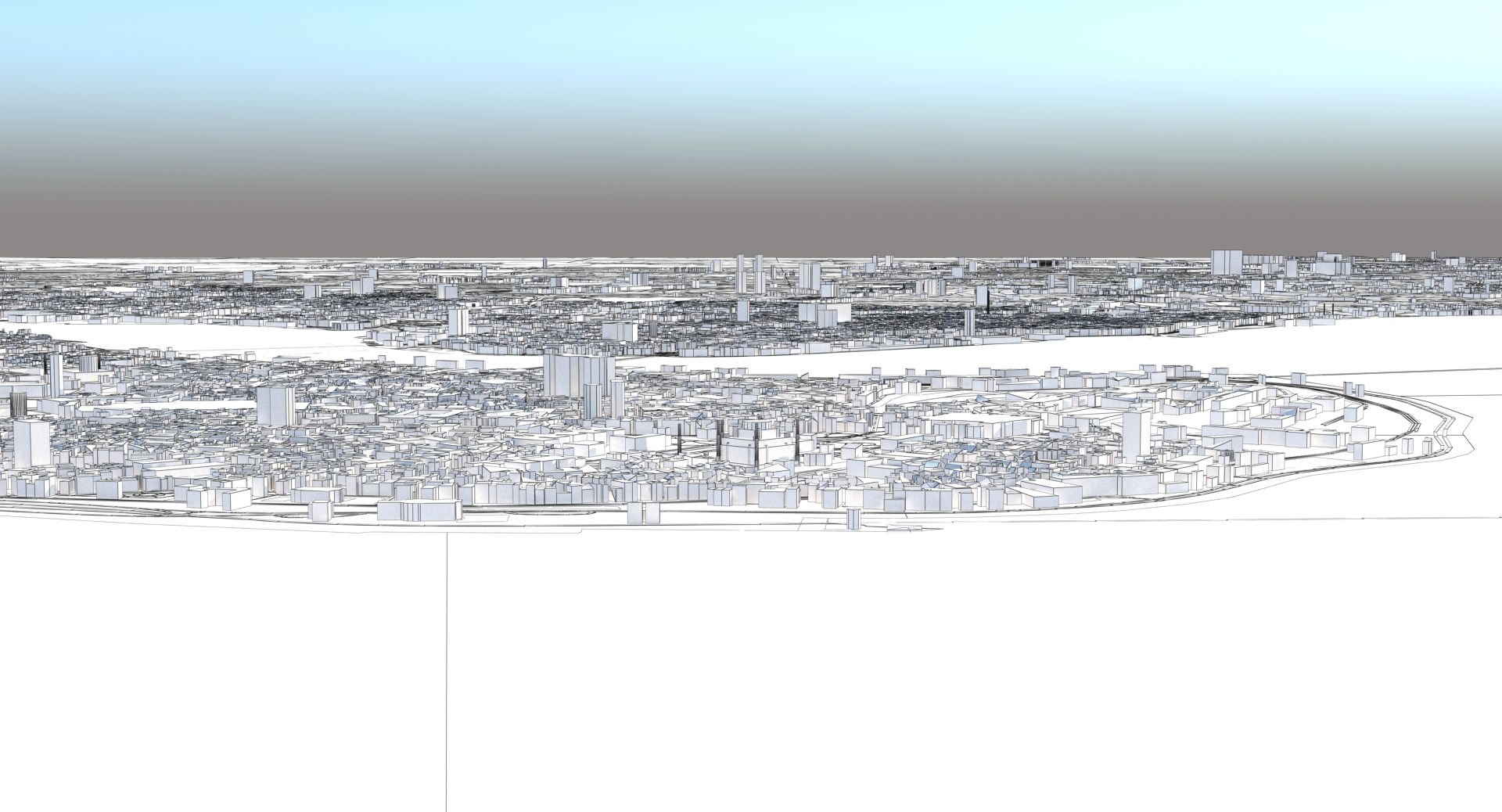
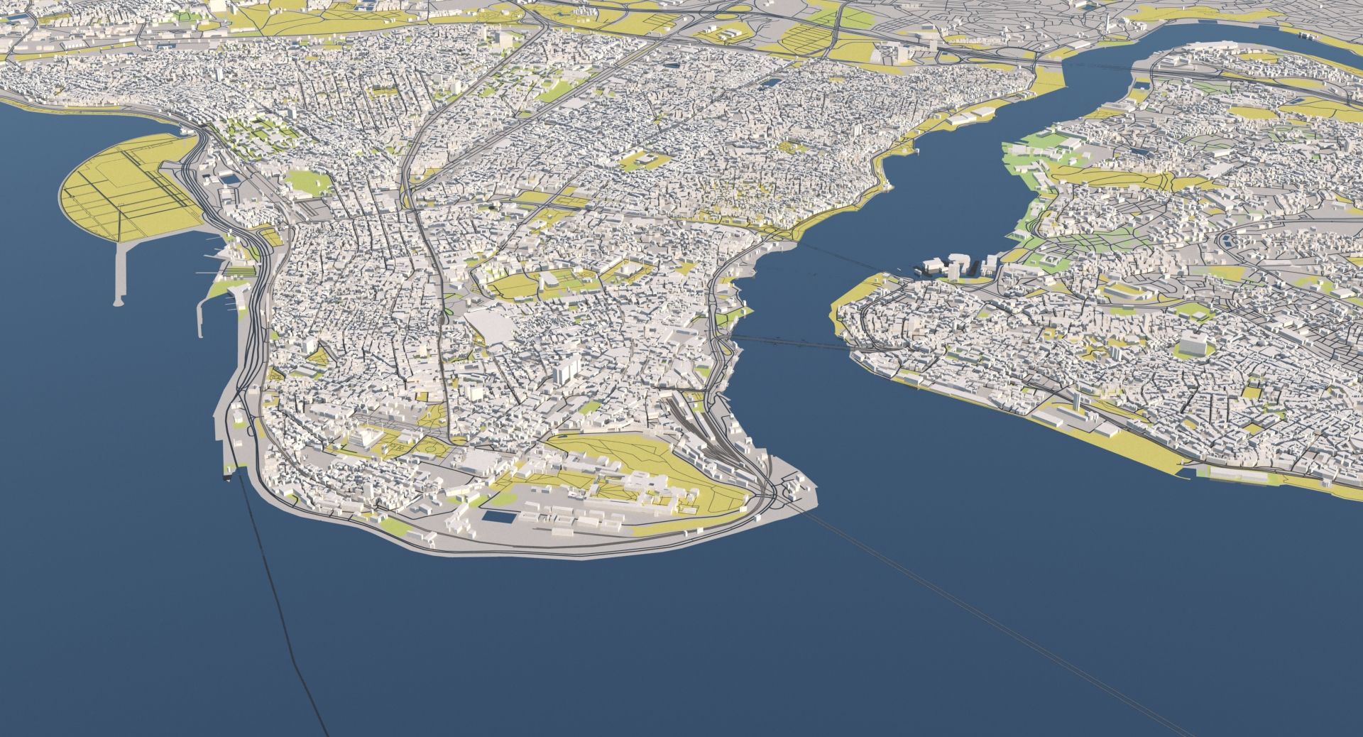
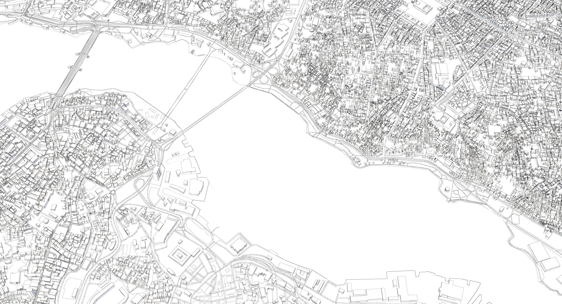
A DETAILED 3D MODEL CITY MAP OF ISTANBUL: >>> Scene Information - Accurate city map of Istanbul based on OSM satellite data - The scene is prepared for V-Ray - The preview images are render outputs - The images were rendered with V-Ray 3.60.03 >>> Geometry - The area is ~ 40 x 40 km - The geometry is based on OSM satellite data - The scene uses layers for buildings, parks, roads - Layers based on OSM data - Base landmarks are roughly modelled or directly imported out of OSM - There are not height maps - All parts are aligned on a flat surface - Check preview images for populated areas - Due to OSM restrictions, not all houses/areas are imported - Use the individual layer to decrease/increase the level of detail >>> Materials - The scene uses V-Ray materials - All maps are in the 3ds Max zipfile >>> Light setup - daylight system >>> Formats - 3ds Max 2015 - FBX - OBJ >>> Contact Turbosquid support if you need assistance with file formats >>> Please check out my catalogue for more hires and realistic models >>> If you like this model I would kindly ask you to rate it >>> This is a computer generated 3d model - it is not a real life object.
recensioner
Det finns för tillfället inga recensioner för denna produkt.
Varför inte vara den första som bryter isen?