









县地图-马里兰 3D模型
0


23
访问量

提交者
browntimmy
规格
- 几何polygonal_ngons used
- 多边形10,767
- 顶点21,778
- 纹理No
- 索具化No
- 动画No
- 适合3D打印No
- 适合游戏(低多边形)No
- UV映射Yes
- 未封装UVnone
描述
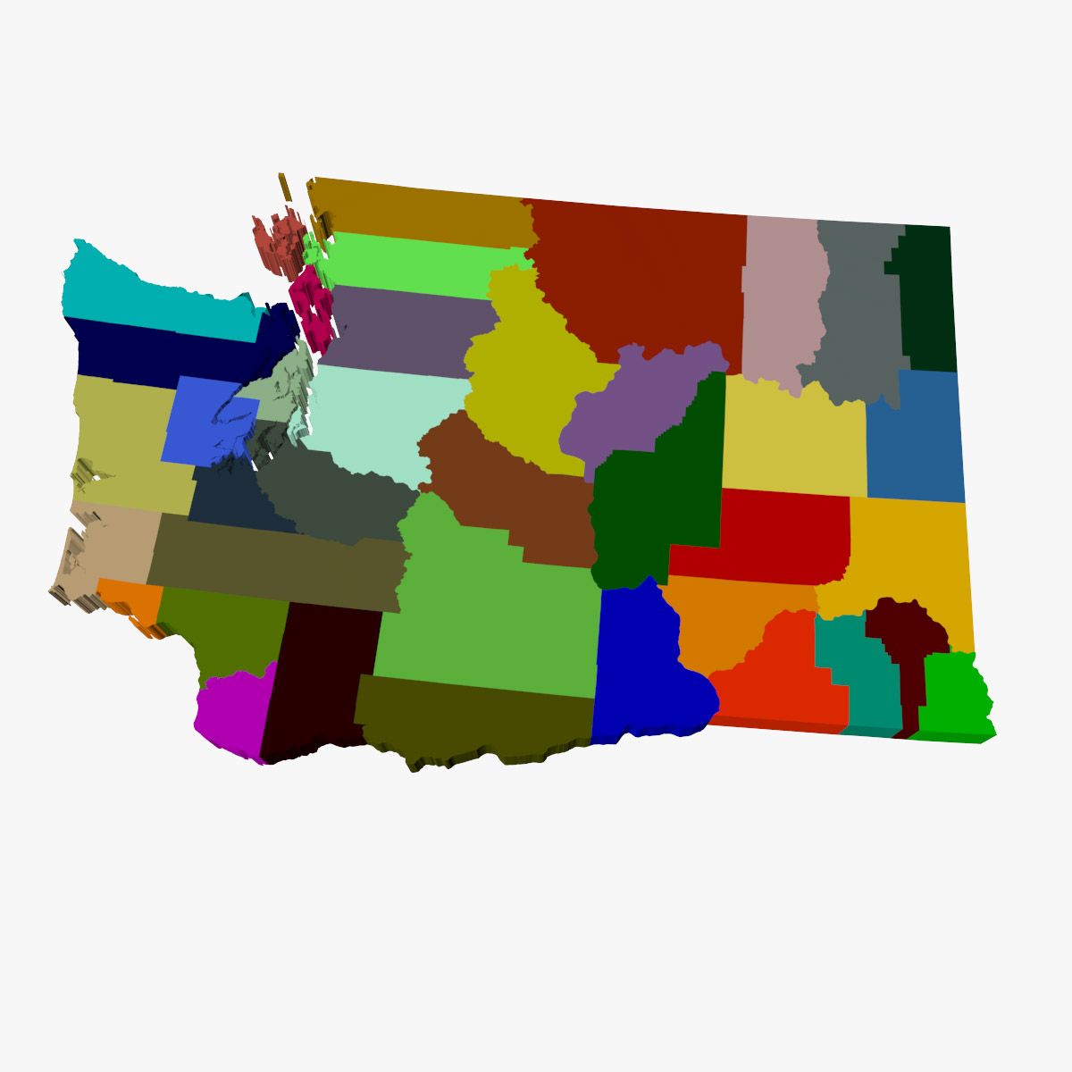
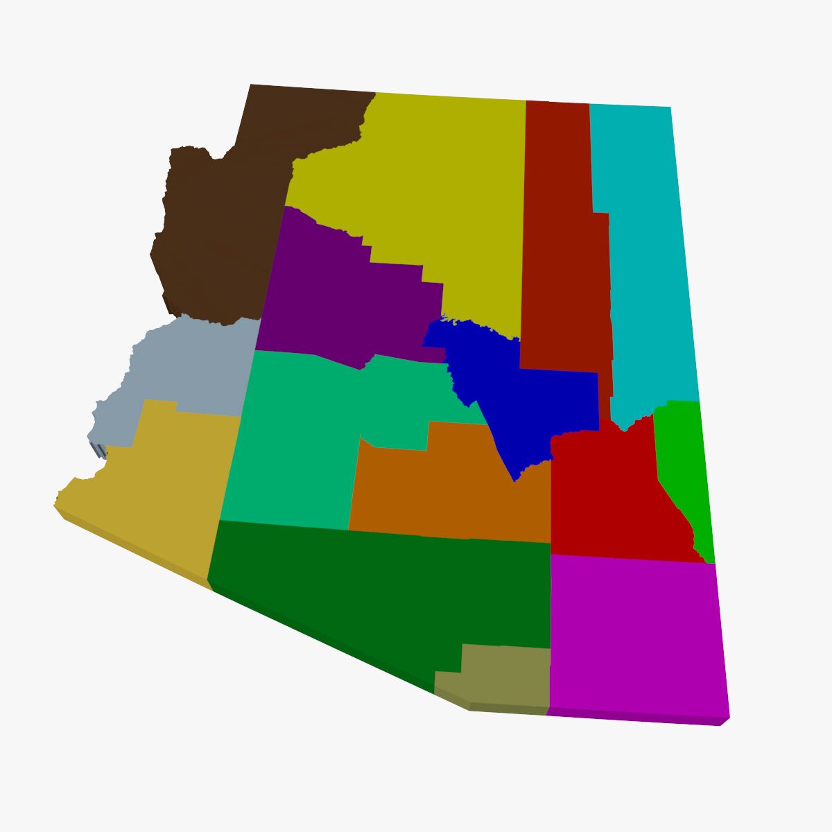
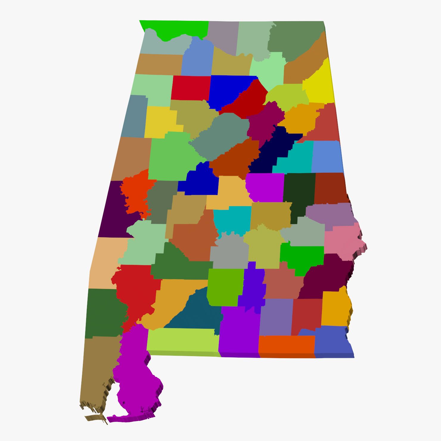
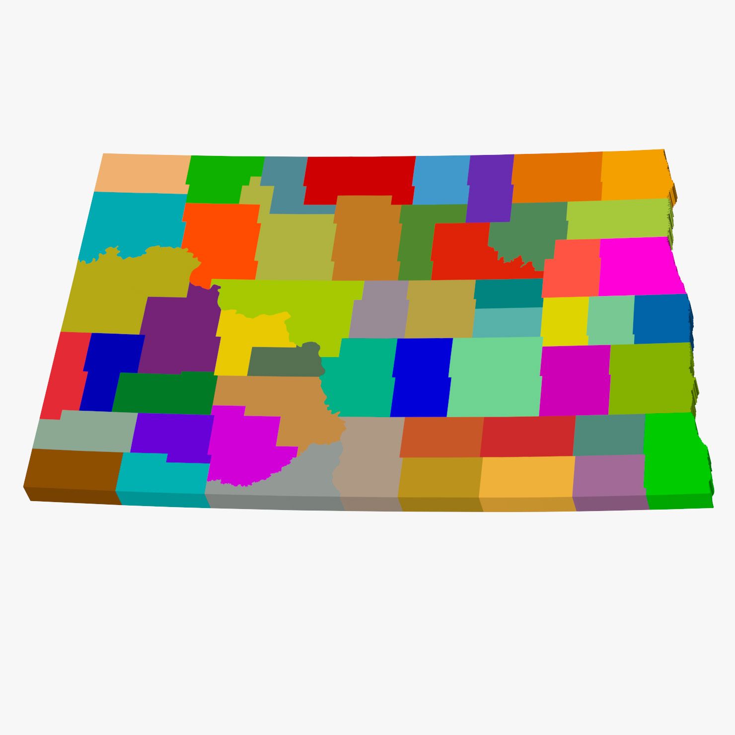
High detail map of the counties in the state of Maryland. Consists of 24 separate shapes labeled after each of the 24 counties/county equivalents.
3ds max files consist of editable splines with Extrude modifiers applied, making the shapes very convenient to edit if necessary. Material modifiers also applied with individual sub-materials labeled after each county.
OBJ file compatible with Element 3D plugin for After Effects with each county able to be isolated.
Oct 15, 2019
添加日期
Dec 04, 2021
最后更新
评测
此产品当前没有评测。
为什么不做第一个评测者呢?