

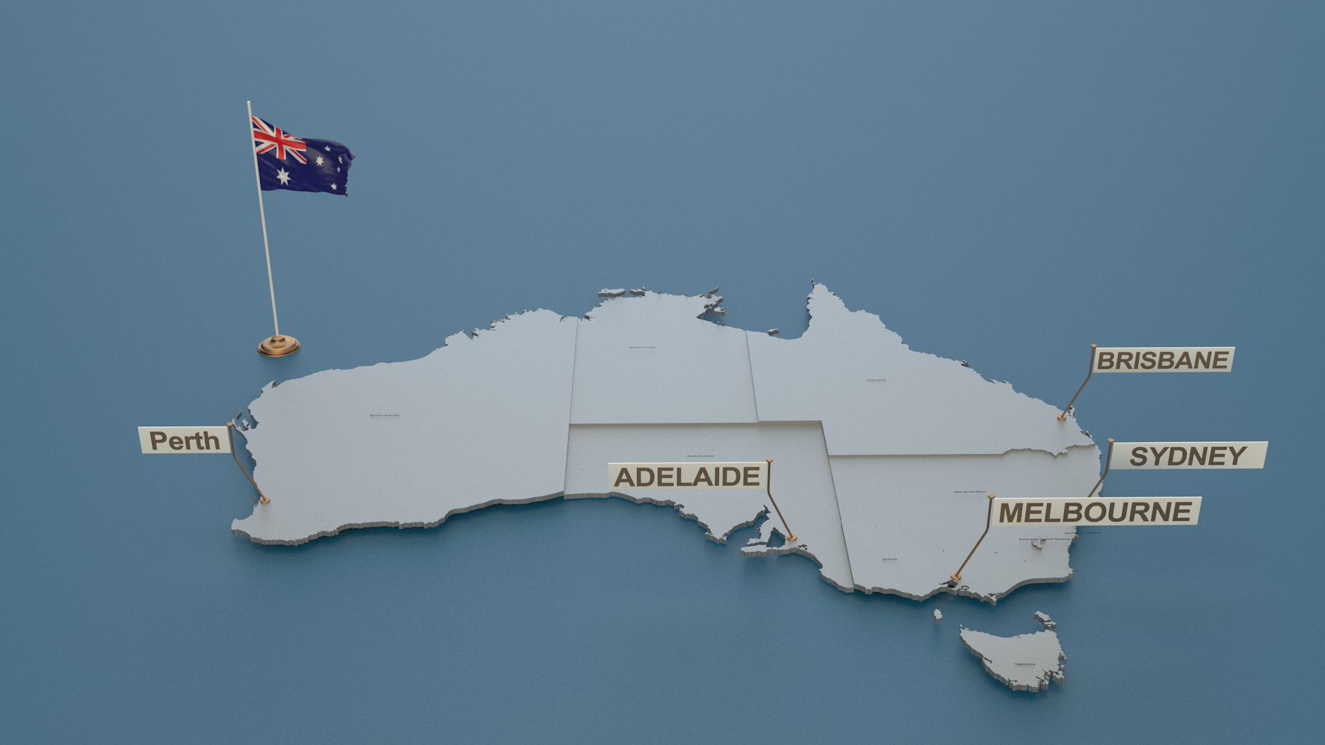


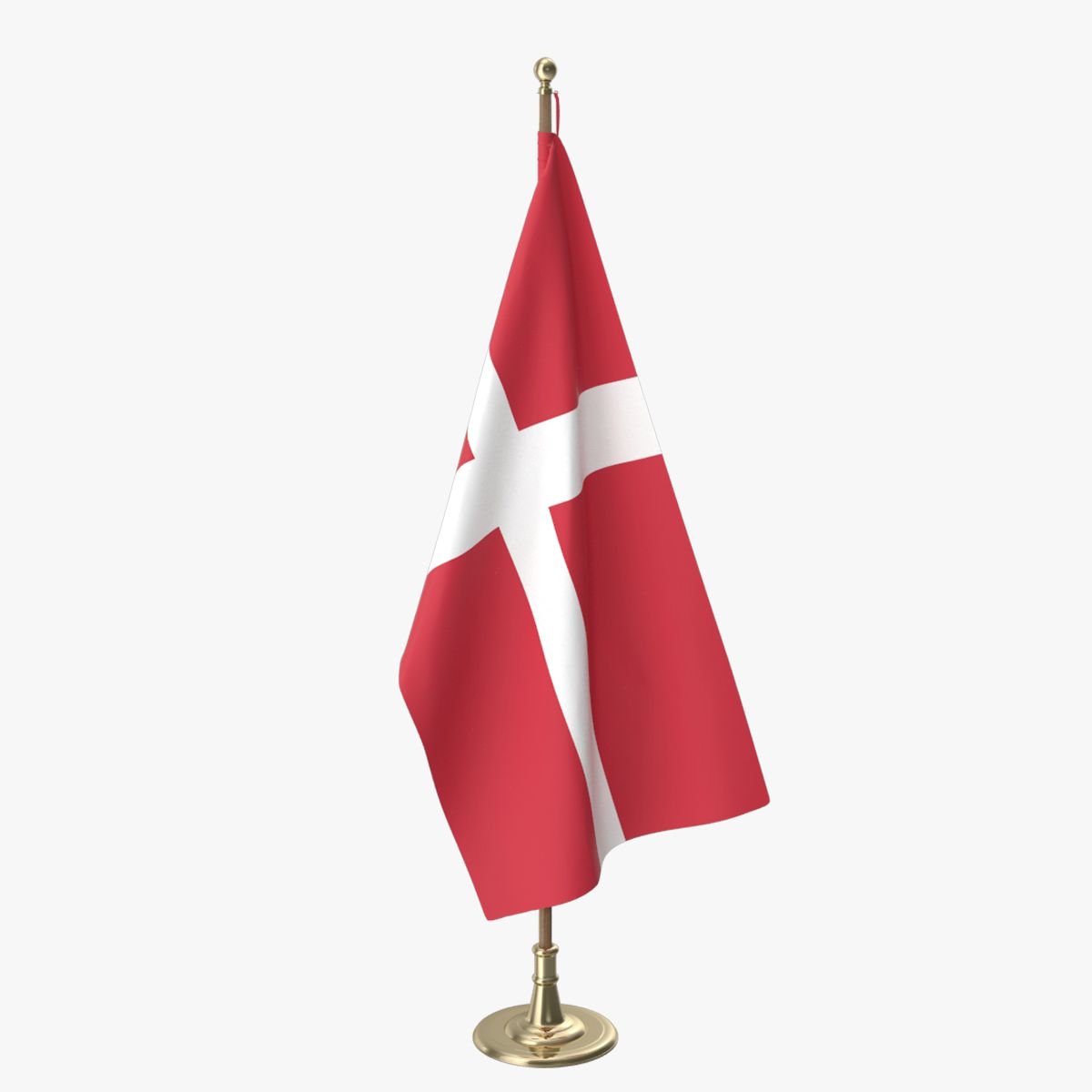


丹麦详细的地图和国旗 3D模型
0


40
访问量

提交者
mageedalzaide
规格
- 几何polygonal
- 多边形91,923
- 顶点61,065
- 纹理No
- 索具化No
- 动画Yes
- 适合3D打印No
- 适合游戏(低多边形)No
- UV映射Yes
- 未封装UVnone
描述
-3d model of the map of The Denmark .
-Vray scene for 3dsmax 2015
-Flag Raising animation
-Includes all Provinces.
-with state Provinces.
-with cities and capital names.
-Every Provinces border is separate.
-3ds max version and all exported geometries .
-no additional plugins are required for this product just vray v3.0 for render .
Useful for broadcast news shows and for elections. Each state is beveled named and textured. Modeled in 3DS Max 2015 and tested in different file formats.
Oct 17, 2019
添加日期
Nov 15, 2021
最后更新
评测
此产品当前没有评测。
为什么不做第一个评测者呢?