


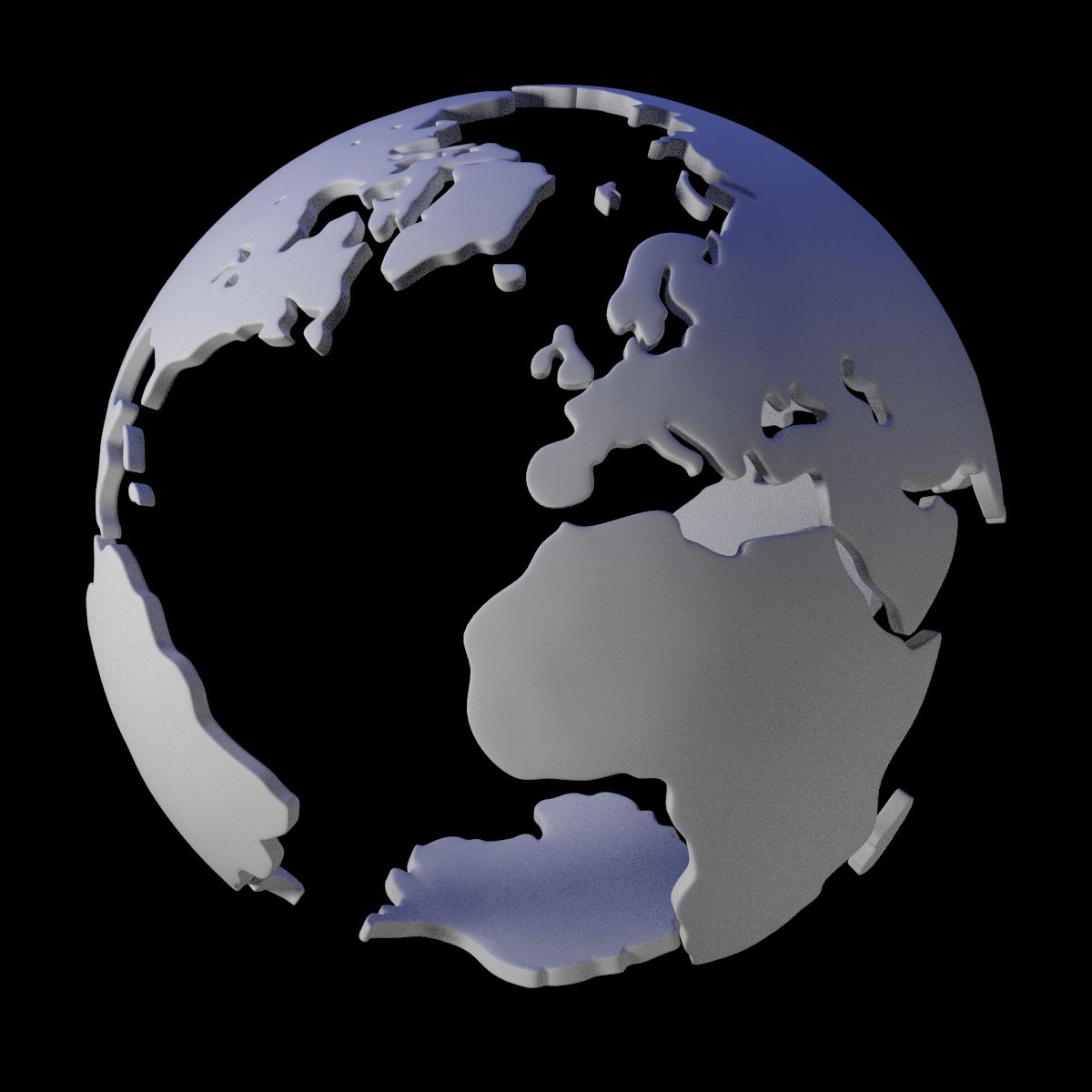
地壳 3D模型


规格
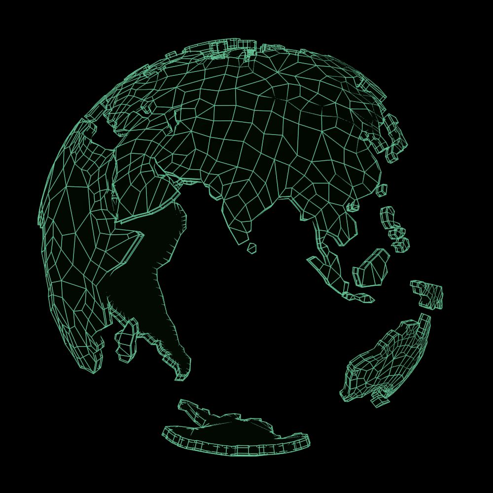
- 几何polygonal_quads/tris
- 多边形7,135
- 顶点6,948
- 纹理No
- 索具化No
- 动画No
- 适合3D打印No
- 适合游戏(低多边形)No
- UV映射Yes
- 未封装UVnone
描述
Mesh shaped like main land areas of Earth, with most of the larger islands, peninsulas, bays and lakes.
This is not meant to be accurate, only recognizable. Land outlines were made following a map, but the map was image processed to remove small features, and smooth complex coasts.
So, if you are the COO of a major shipping company - do not use this for planning critical sea routes! For decorative use only.
Potential uses include objects such as paperweights, outdoor sculptures, motion graphics, logos, and illustrations - just add flames for "global warming"! Or put devils with pitchforks inside the Earth poking at the land from underneath. Pour water, oil, or paint on the mesh with Blender's fluid physics. Make it look corroded or radioactive, or covered solid with glitter.
Meshes in this file have four layers to give the land thickness and edges that aren't too sharp or too rounded.
Wire thumbs show before and after application of SubSurface. Vertex/face counts given are before subsurfacing is applied, as in the .blend file.
