


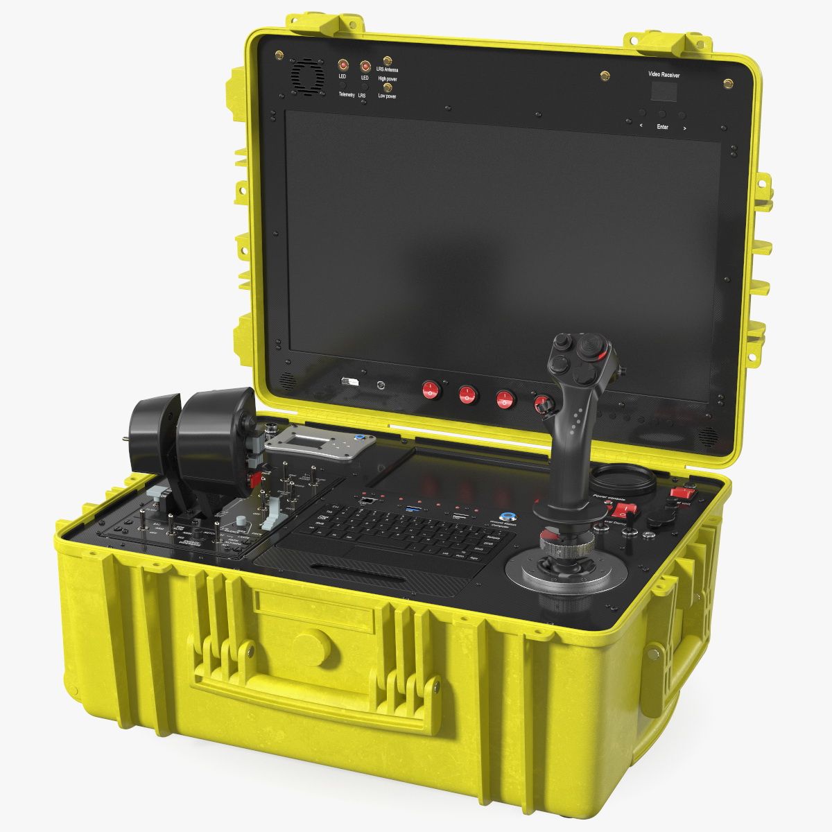
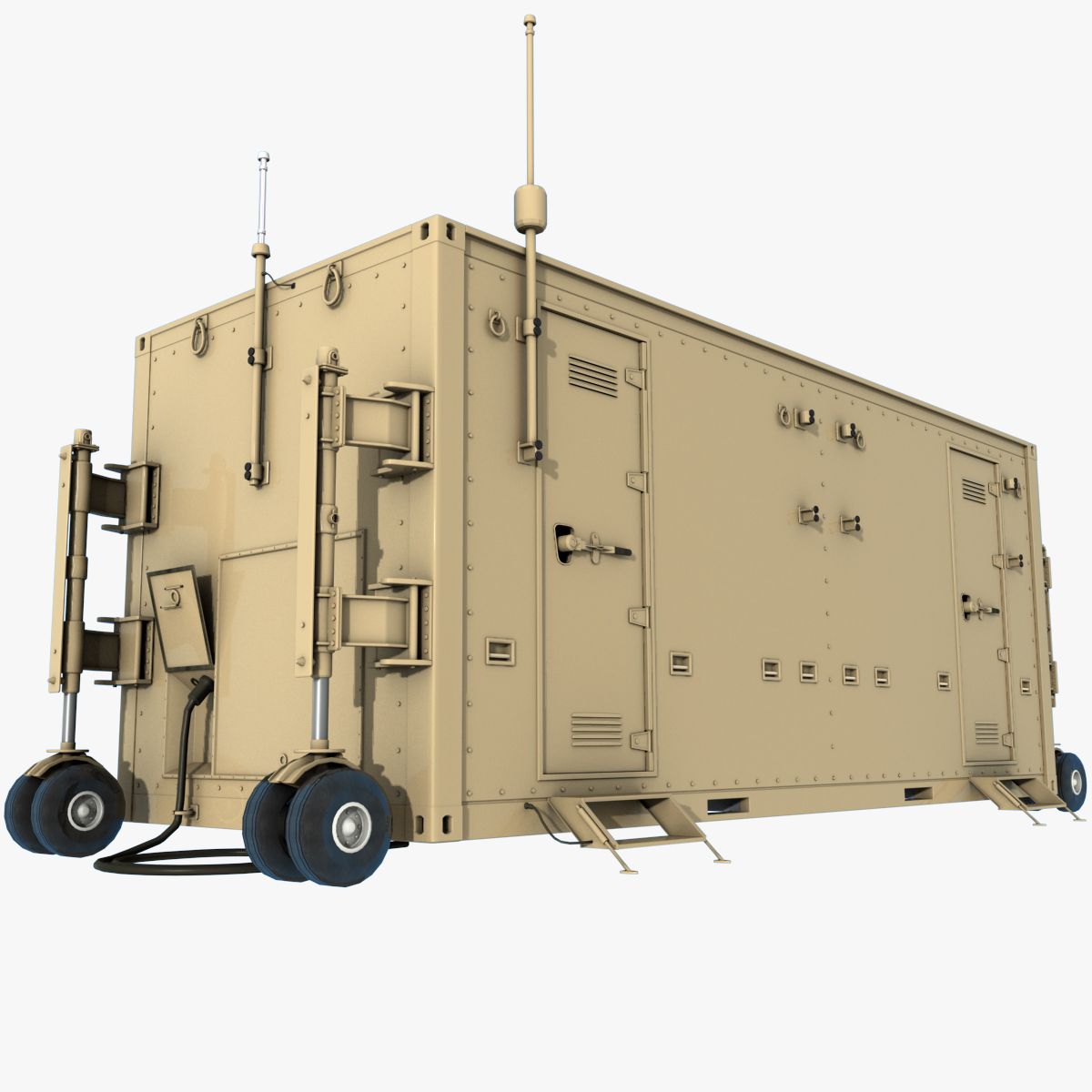

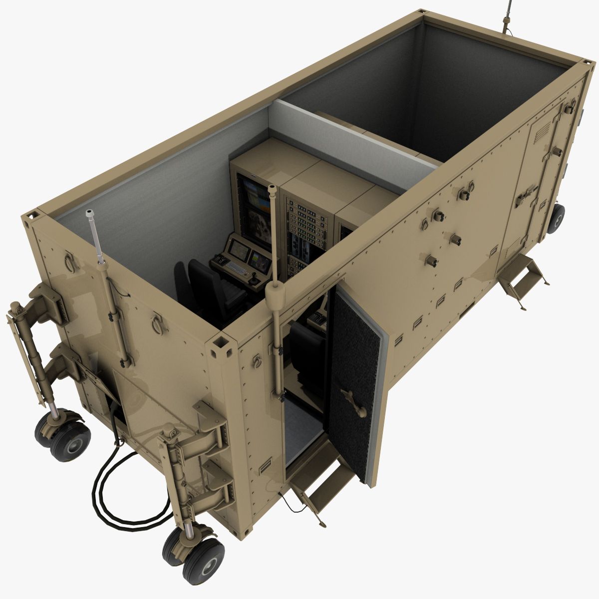
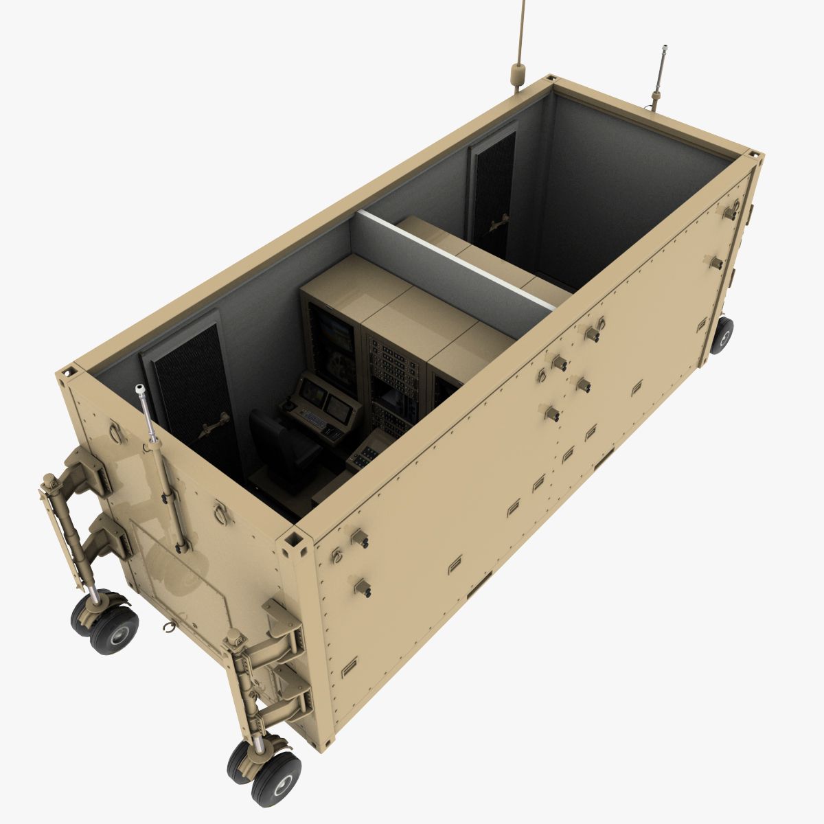
无人机地面控制站 3D模型
0















0
访问量

提交者
mzubak
规格
- 几何polygonal_ngons used
- 多边形310,219
- 顶点319,484
- 纹理Yes
- 索具化No
- 动画No
- 适合3D打印No
- 适合游戏(低多边形)No
- UV映射Yes
- 未封装UVnone
描述
General
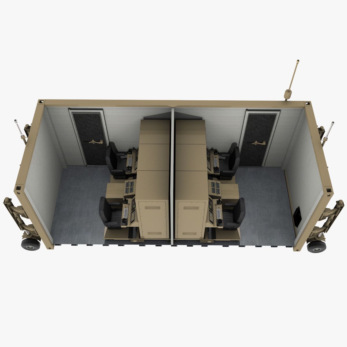
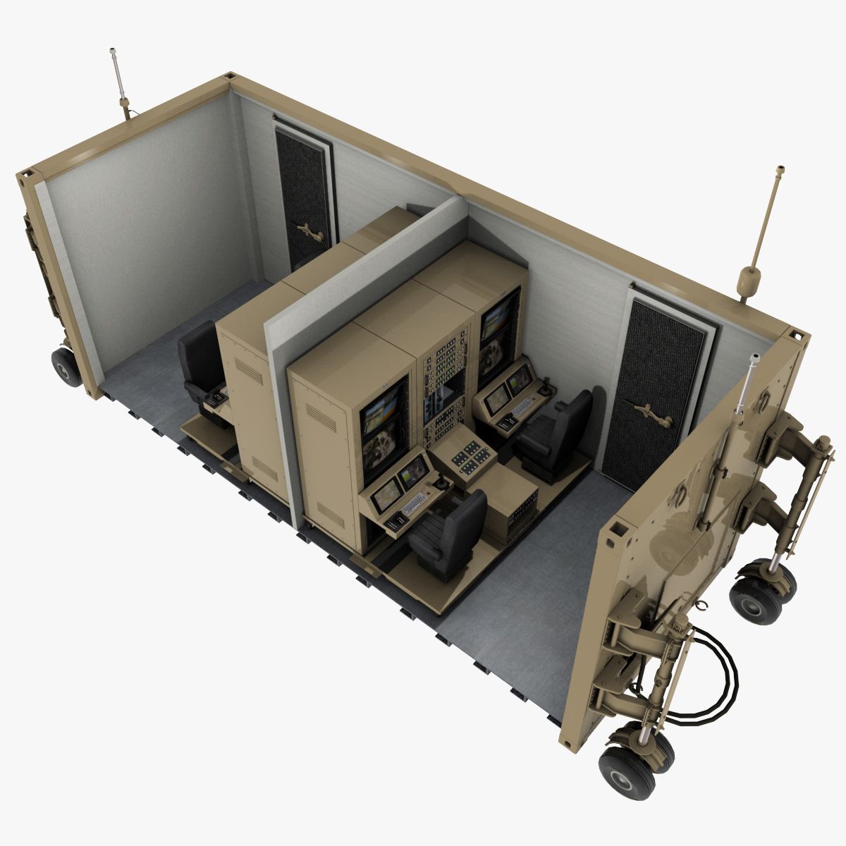
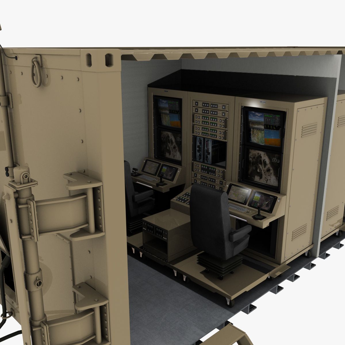
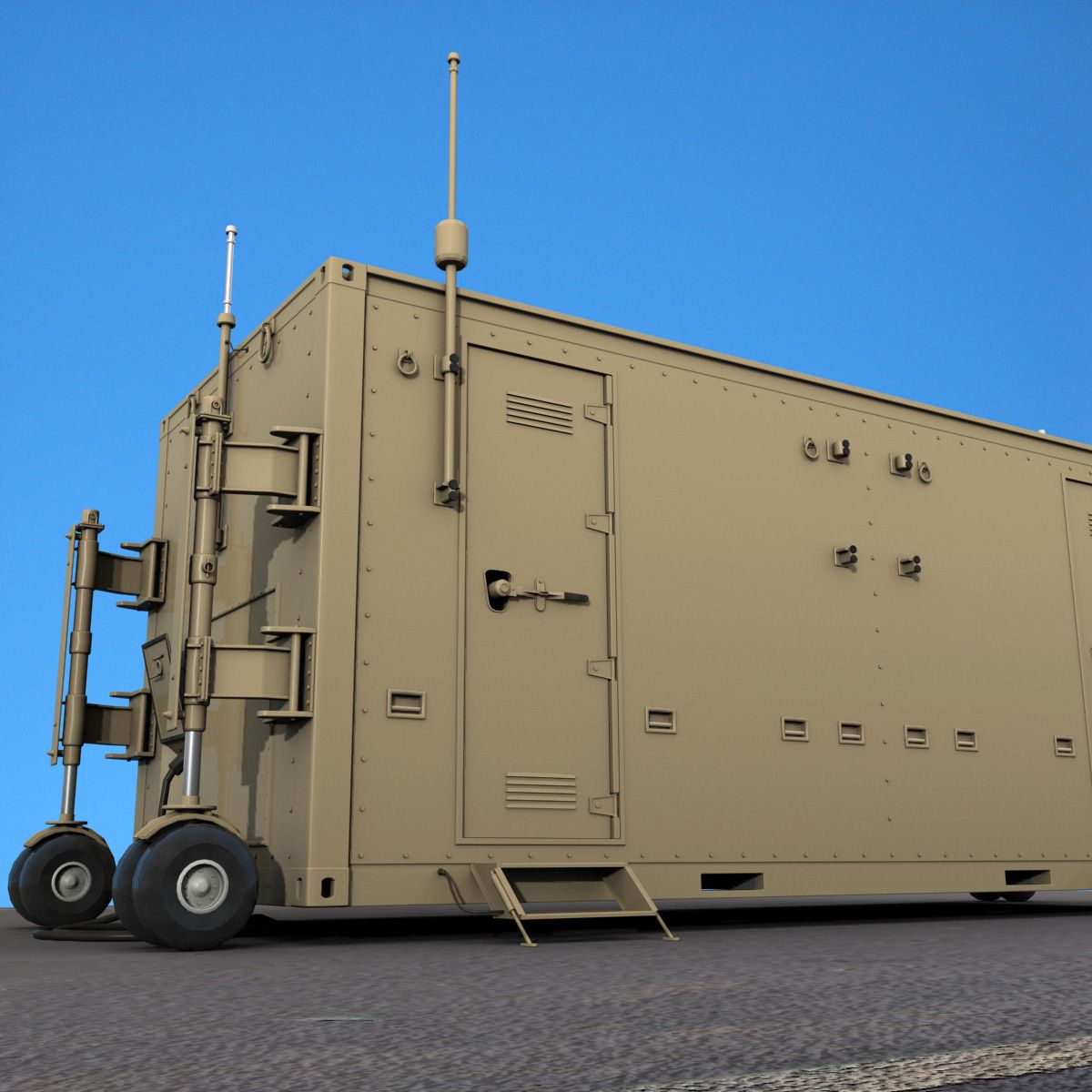
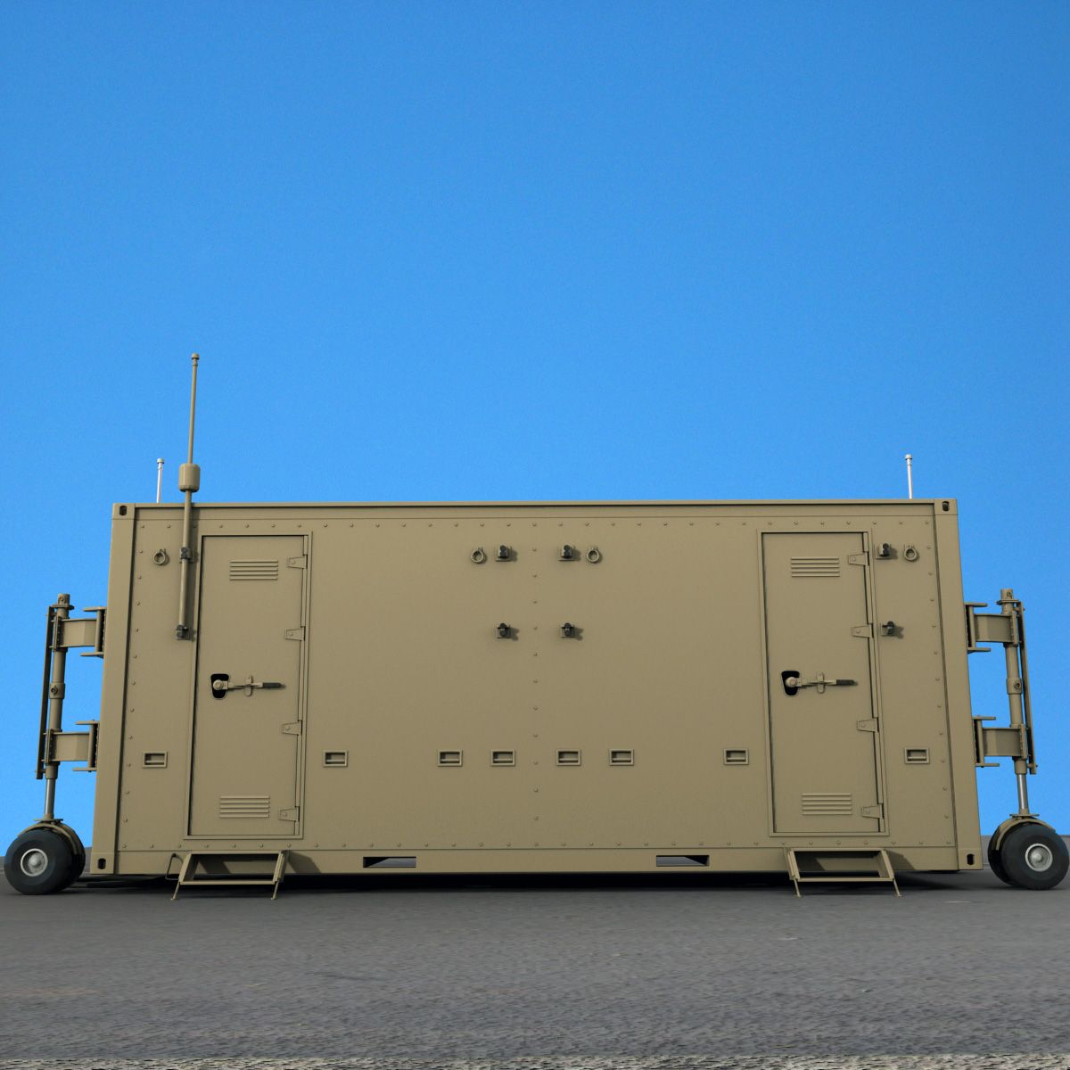
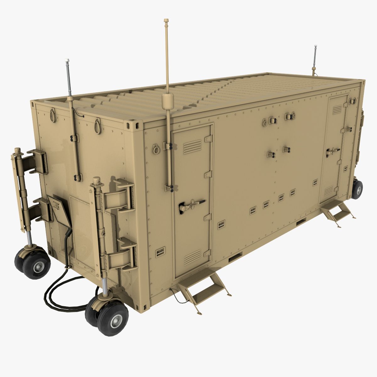
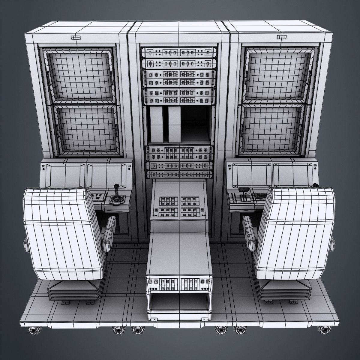
High quality model of a ground control station (GCS), land or sea based control centre that provides the facilities for human control of Unmanned Aerial Vehicles UAVs or drones.
Model is made from segments, built with great attention to small details, high exact and realistic proportions with correct geometry. All objects are properly named, with named materials and textures.
Native 3d model format is: 3ds Max 2012.
Geometry
High level of detail with the best compromise of the number of polygons.
All details have been fully modeled out making the models ideal for closeups and print work.
Geometry: Polygonal
Model Specifications: Polys: 310219; Verts: 319484
Material and Textures
All objects have UVW mapping projections.
Model used 23*.jpg/png textures, resolution depends on the importance within the model.
Rendering
Render is done with non-illuminated 3ds Max 2012 version with standard materials.
Lighting and environment are included in 3ds Max 2012 version.
Rendered by default, no 3rd Party Plug-ins required to load files or render scene.
Models look like the thumbnails.
Sep 28, 2020
添加日期
Sep 08, 2021
最后更新
评测
此产品当前没有评测。
为什么不做第一个评测者呢?