


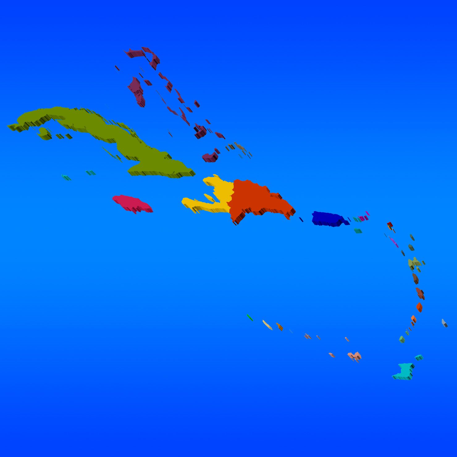
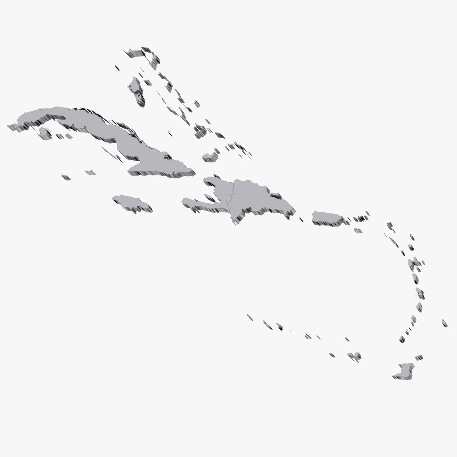
West Indies Map 3D Model
0


38
visits
Submitted by
browntimmy
Specifications
- Geometrypolygonal_ngons used
- Polygons30,812
- Vertices15,744
- TexturesNo
- RiggedNo
- AnimatedNo
- 3D Printable ReadyNo
- Game Ready (low poly)No
- UV MappedYes
- Unwrapped UVsnone
Description
3D map of West Indies region. Includes 32 countries/territories.
3ds Max files consist of editable splines with Extrude modifiers applied, making the shapes very convenient to edit if necessary. Material modifiers also applied with individual sub-materials labeled after each country/territory.
OBJ file compatible with Element 3D plugin for After Effects with each county able to be isolated.
List of countries/territories included in map:
Anguilla
Antigua and Barbuda
Aruba
Barbados
Bonaire
British Virgin Islands
Cayman Islands
Cuba
Curaao
Dominica
Dominican Republic
Federal Dependencies of Venezuela
Grenada
Guadeloupe
Haiti
Jamaica
Martinique
Montserrat
Nueva Esparta
Puerto Rico
Saba
Saint Barthlemy
Saint Kitts and Nevis
Saint Lucia
Saint Martin
Saint Vincent and Grenadines
Sint Eustatius
Sint Maarten
The Bahamas
Trinidad and Tobago
Turks and Caicos Islands
United States Virgin Islands
Oct 02, 2019
date added
Nov 30, 2021
last update
Reviews
There are currently no reviews for this product.
Why not be the first one to break the ice?