




CALIPSO環境衛星 3Dモデル
0




0
訪問

から提出された
Infinite3dfx
仕様
- ジオメトリpolygonal_ngons used
- 多角形37,286
- 頂点123,064
- テクスチャYes
- 堅いYes
- アニメ化Yes
- 3Dプリント可能No
- ゲームレディ(低ポリ)No
- UVマップYes
- ラップされていないUVnone
説明
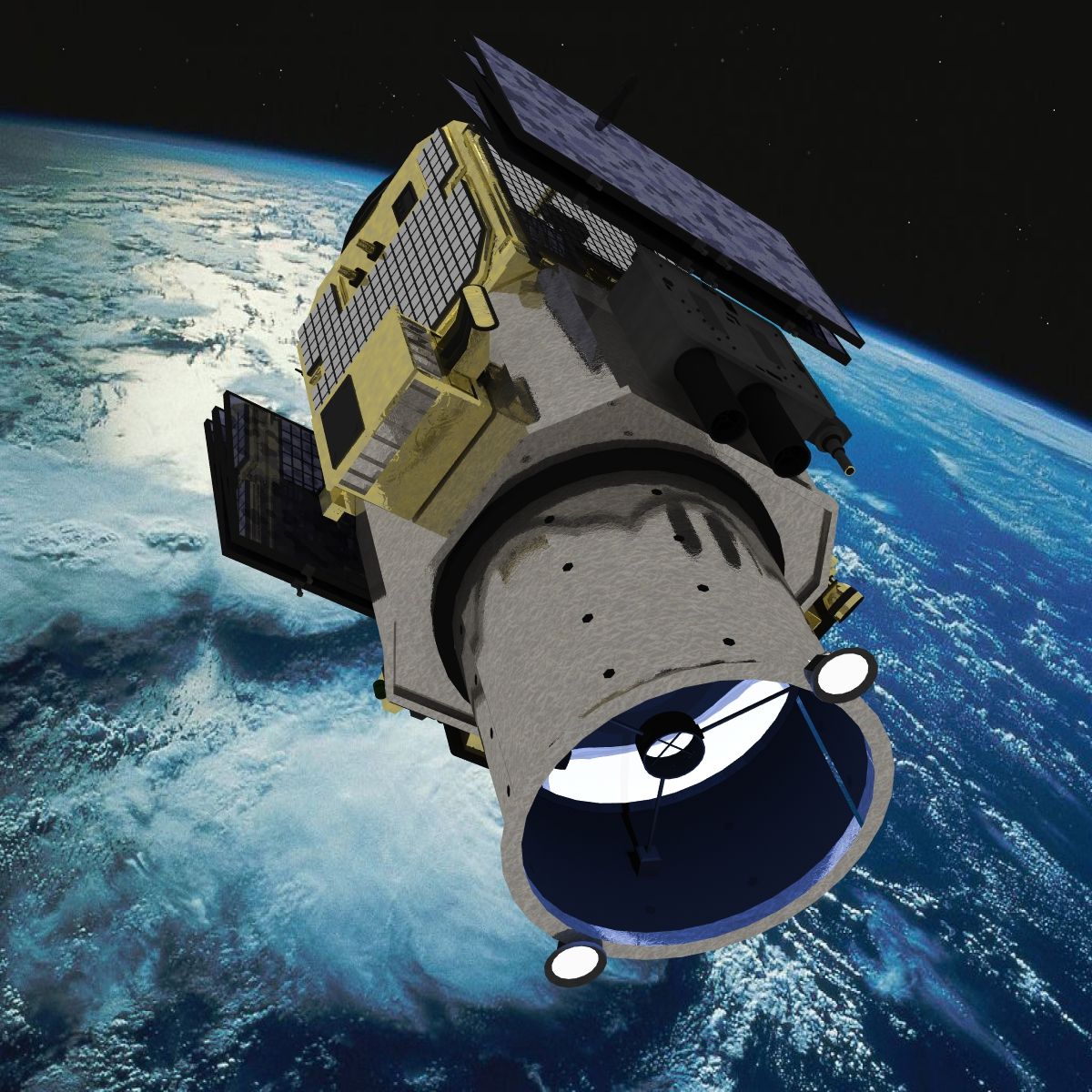
This is a detailed model of the CALIPSO environmental satellite.
Note: Two scenes are included with this product:
(1) Animated version where the solar panels deploy.
(2) A static version in which the panels are fully deployed.
The solar deployment system objects listed below.
(1) Calipso-Body - P
(1) Solar-Panels-Pivots - H
(2) Solar-Panel-Arms - H
(2) Solar-Panel-Start - H
(4) Solar-Panel-Mid - H
(1) Solar-Panel-End - H
The CALIPSO is a joint NASA and CNES project.
The Cloud-Aerosol Lidar and Infrared Pathfinder Satellite Observation (CALIPSO) satellite provides new insight into the role that clouds and atmospheric aerosols (airborne particles) play in regulating Earth's weather, climate, and air quality.
CALIPSO combines an active lidar instrument with passive infrared and visible imagers to probe the vertical structure and properties of thin clouds and aerosols over the globe. CALIPSO was launched on April 28, 2006 with the cloud profiling radar system on the CloudSat satellite.
CALIPSO and CloudSat are highly complementary and together provide new, never-before-seen 3-D perspectives of how clouds and aerosols form, evolve, and affect weather and climate. CALIPSO and CloudSat fly in formation with three other satellites in the A-train constellation to enable an even greater understanding of our climate system from the broad array of sensors on these other spacecraft.
CALIPSO is a joint U.S. (NASA) and French (Centre National d'Etudes Spatiales/CNES) satellite mission that has been in operation for four years
Nov 13, 2021
追加日
Apr 19, 2024
最後の更新
レビュー
この商品のレビューはまだありません。
氷を砕いた最初の人になろう。