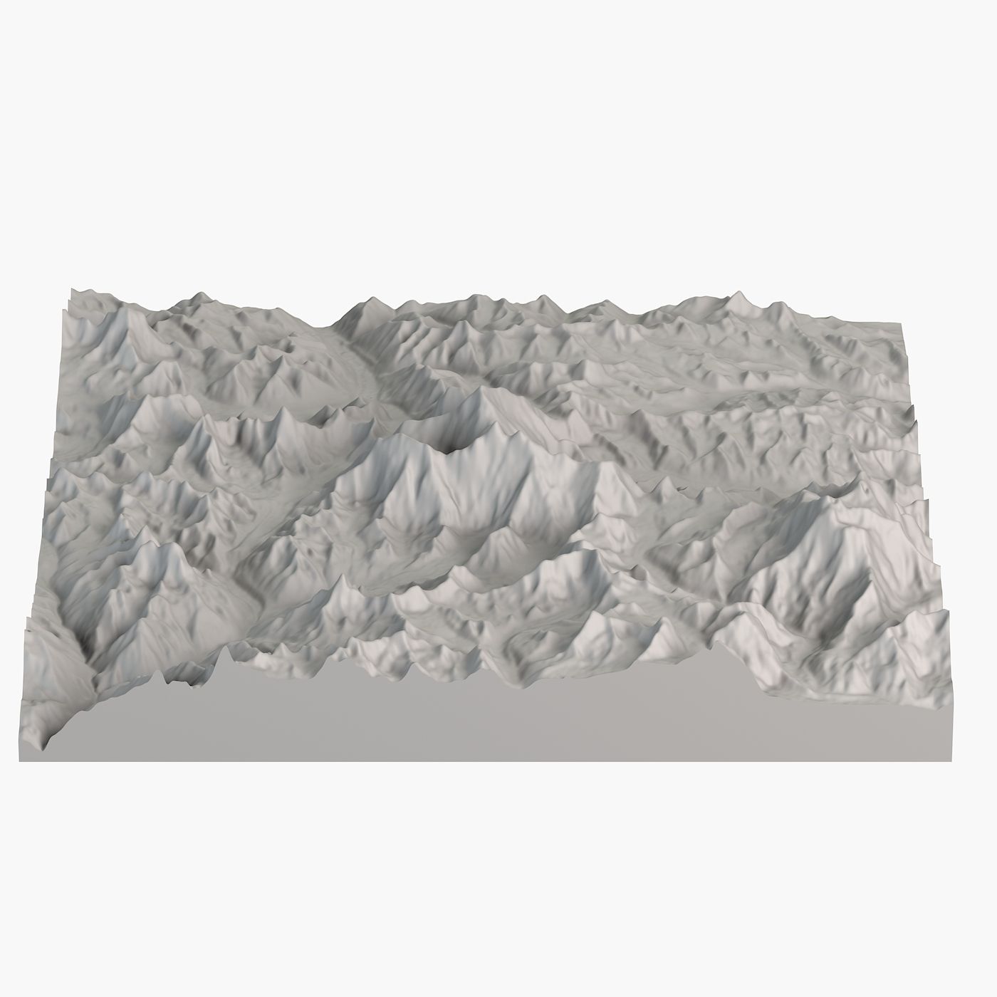

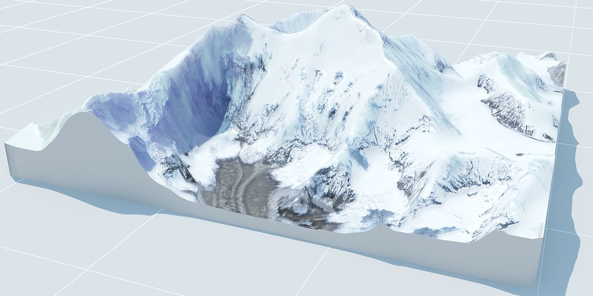


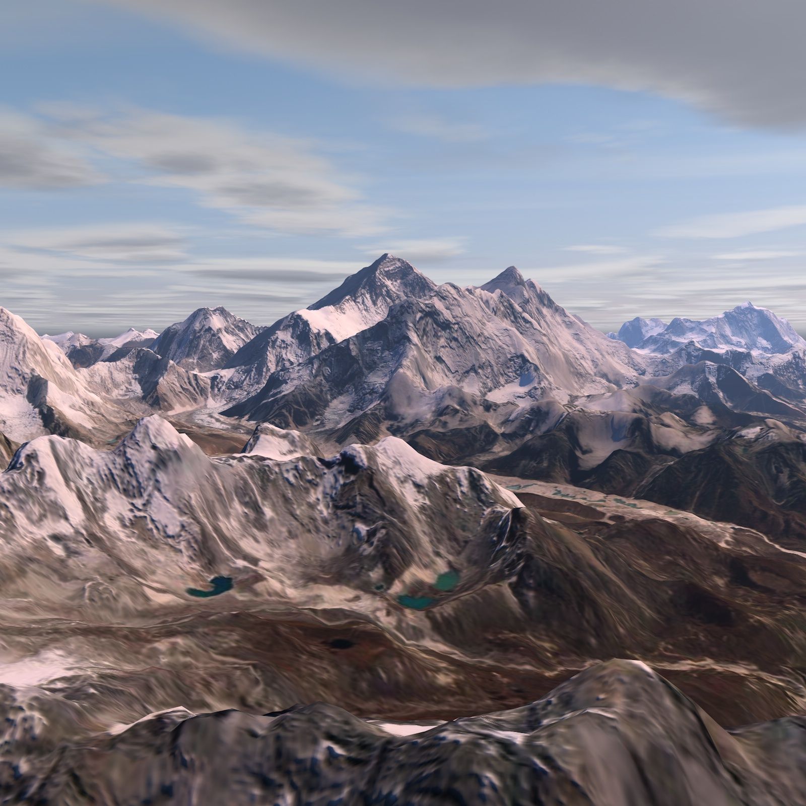
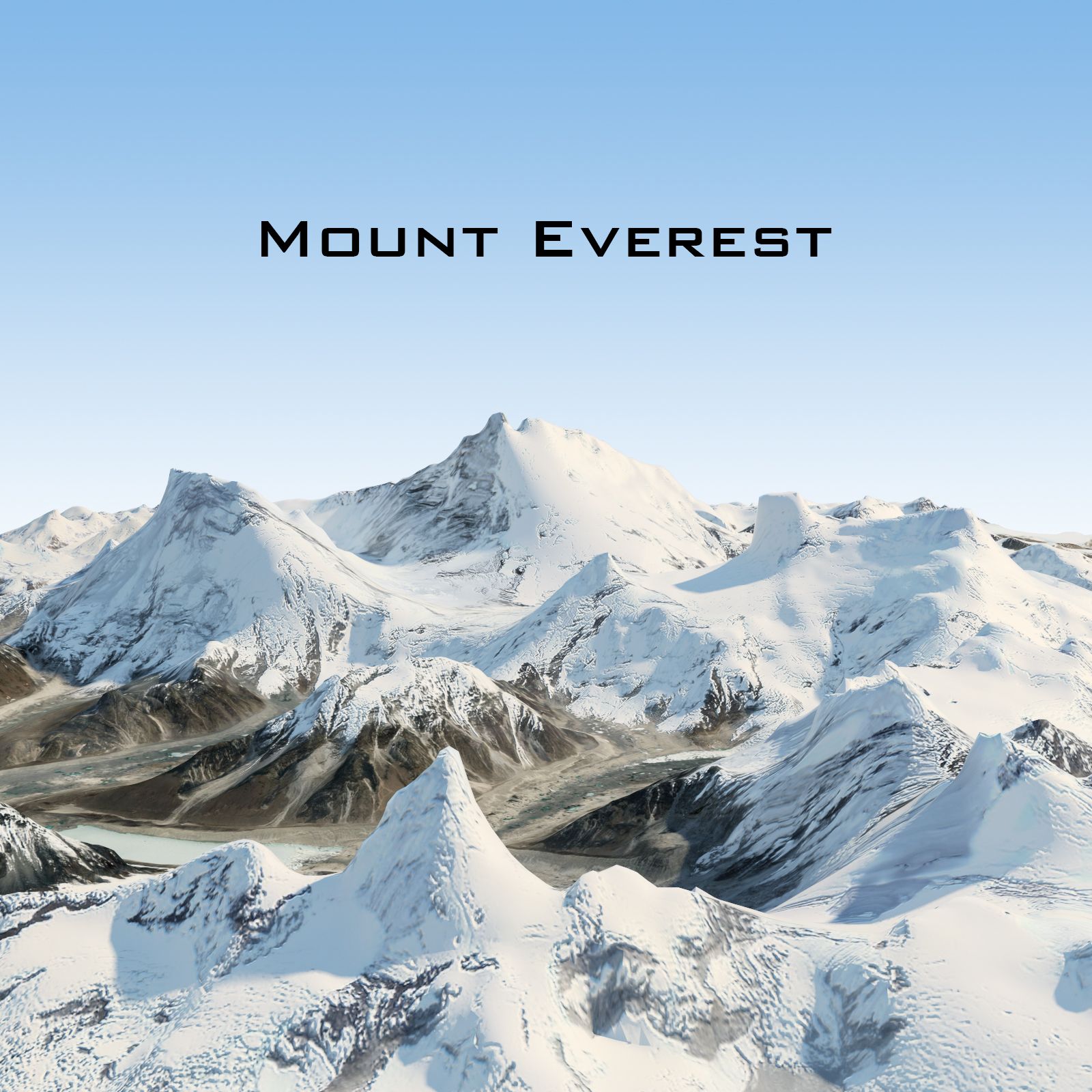
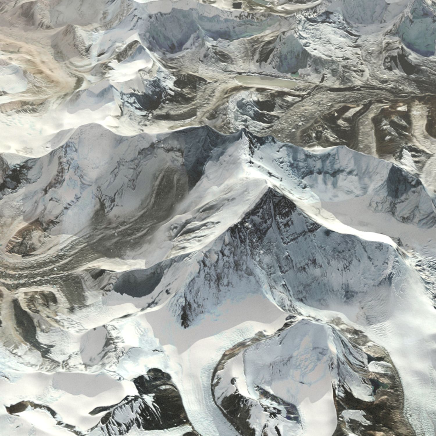
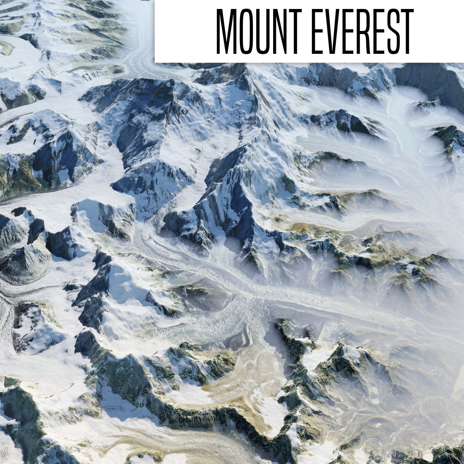

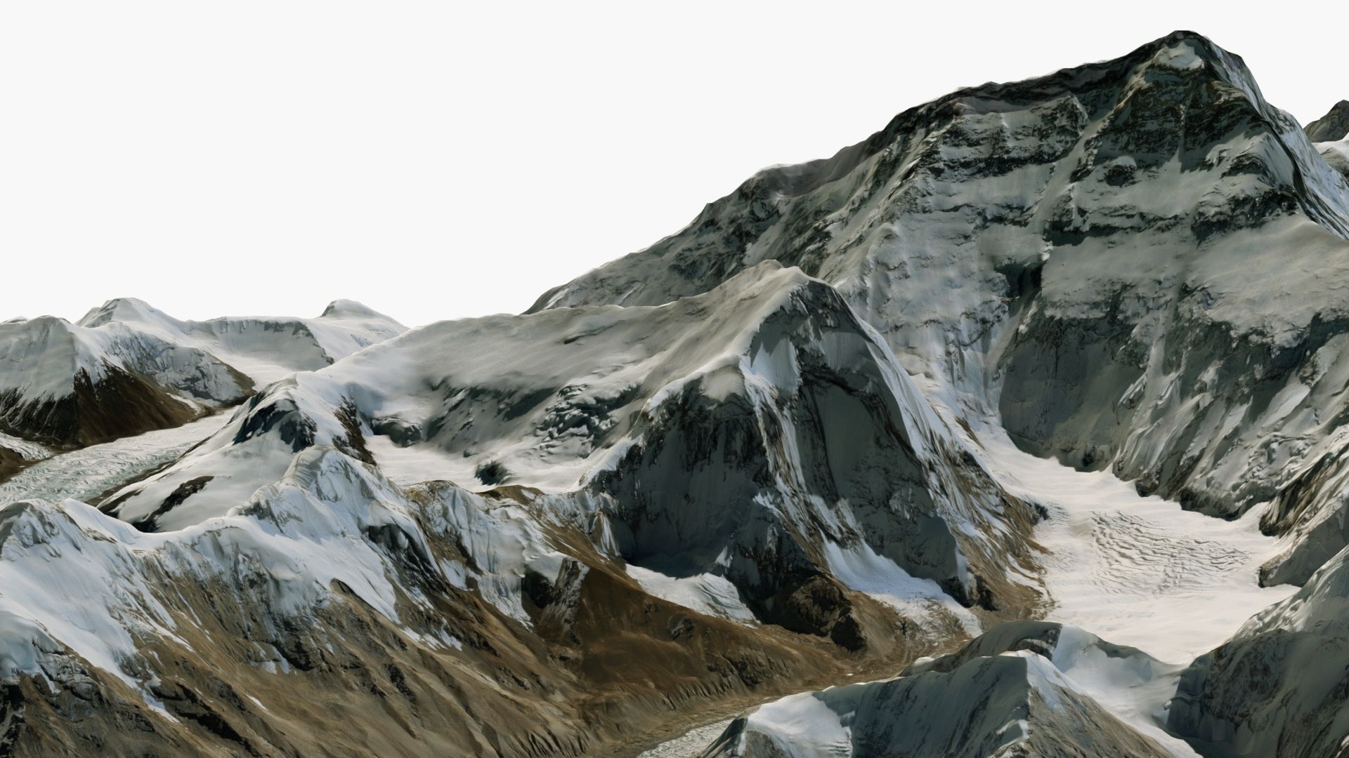
エベレスト近くの風景 3Dモデル




仕様
- ジオメトリpolygonal_quads/tris
- 多角形1,000,000
- 頂点1,002,001
- テクスチャYes
- 堅いNo
- アニメ化No
- 3Dプリント可能No
- ゲームレディ(低ポリ)No
- UVマップYes
- ラップされていないUVnone
説明
Mount Everest Close-Up Area (20x20 km) - Detailed 3D Model
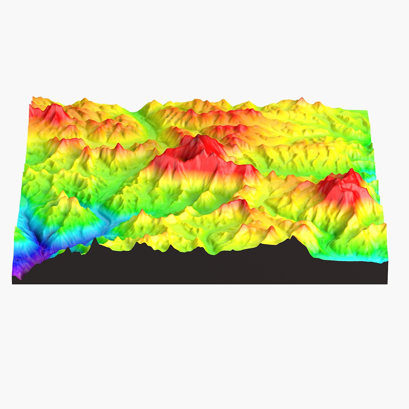
Enhance your projects with this 3D model of the Mount Everest area, featuring accurate elevation data and high-resolution 20000 X 20000 pixel satellite textures.
Geometry
• Polygons with 4 sides: 100%, Triangles of ngons: 0
• Clean and optimized topology.
• Precise height map from NASA satellite data.
Scene management
• Objects are logically named (following naming conventions) for ease of scene management.
• Scene is properly organized, layered. Gizmos are in correct position and asset is centered.
• Models transforms were reset.
File formats
• 3ds Max • Cinema 4D
• Blender • FBX
• OBJ
All file formats were checked and work without issues in all major 3D software.
About
For a decade we have been delivering high-quality 3D models for professional projects to clients worldwide.
Our models are created to meet industry standards, ensuring quality and time savings for our customers.
レビュー
この商品のレビューはまだありません。
氷を砕いた最初の人になろう。