



南アメリカの3Dマップ 3Dモデル
0


25
訪問

から提出された
browntimmy
仕様
- ジオメトリpolygonal_ngons used
- 多角形33,633
- 頂点68,402
- テクスチャNo
- 堅いNo
- アニメ化No
- 3Dプリント可能No
- ゲームレディ(低ポリ)No
- UVマップYes
- ラップされていないUVnone
説明
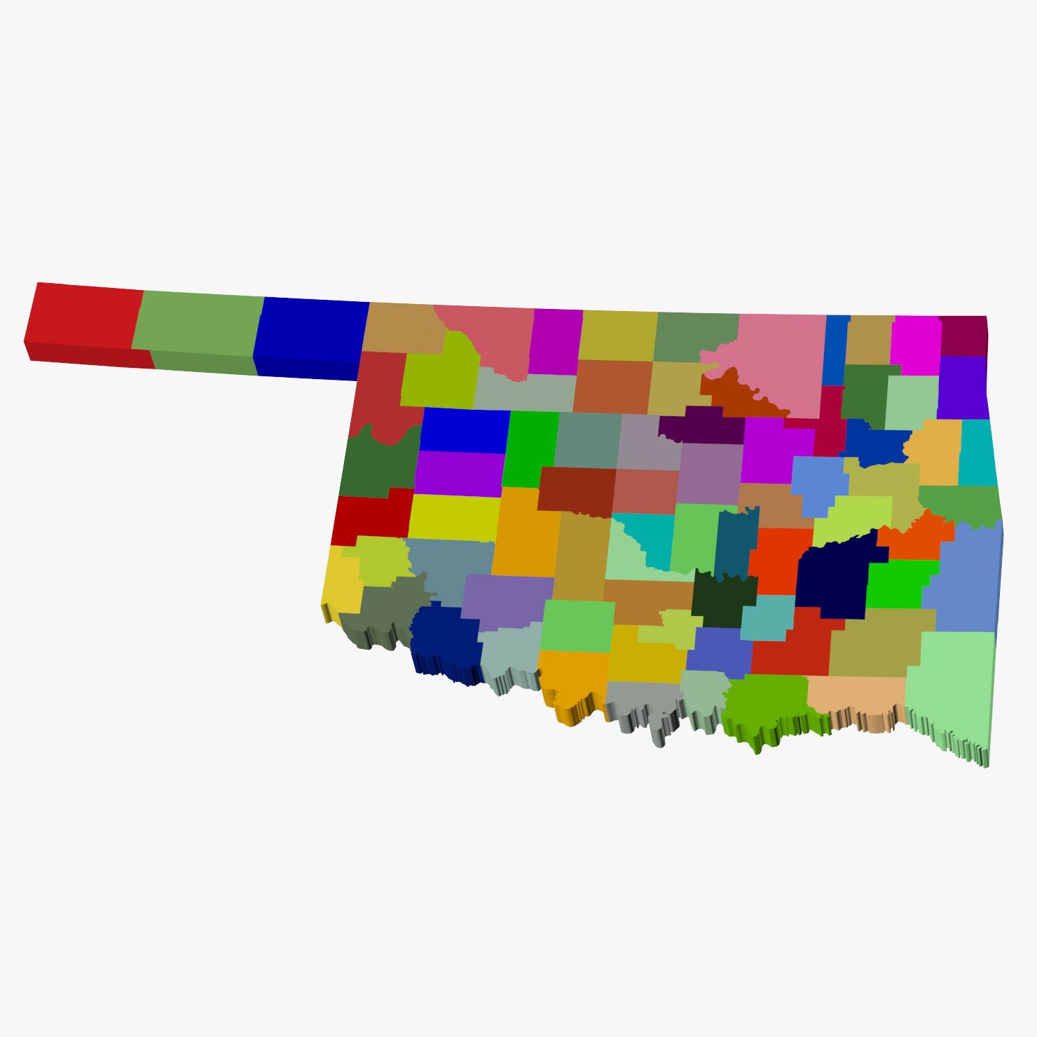
High detail map of the countries and territories of South America. Consists of 16 individual shapes labeled after the 12 sovereign states plus 4 non-sovereign states and other territories.
3ds max files consist of editable splines with Extrude modifiers applied, making the shapes very convenient to edit if necessary. Material modifiers also applied with individual sub-materials labeled after each country/territory.
OBJ file compatible with Element 3D plugin for After Effects with each state/territory able to be isolated.
Oct 16, 2019
追加日
Dec 15, 2021
最後の更新
レビュー
この商品のレビューはまだありません。
氷を砕いた最初の人になろう。