


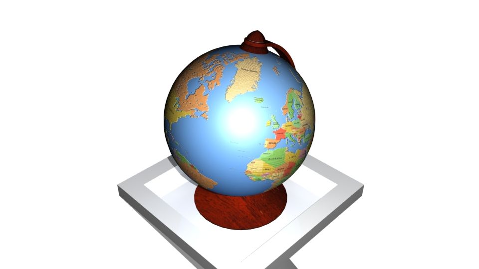




Sydamerika 3D-karta 3D-modell
0


25
besök

Insänd av
browntimmy
Specifikationer
- Geometripolygonal_ngons used
- polygoner33,633
- hörn68,402
- strukturerNo
- riggadeNo
- AnimeradNo
- 3D Printable ReadyNo
- Spelklar (låg poly)No
- UV MappadYes
- Unwrapped UVsnone
Beskrivning
High detail map of the countries and territories of South America. Consists of 16 individual shapes labeled after the 12 sovereign states plus 4 non-sovereign states and other territories.
3ds max files consist of editable splines with Extrude modifiers applied, making the shapes very convenient to edit if necessary. Material modifiers also applied with individual sub-materials labeled after each country/territory.
OBJ file compatible with Element 3D plugin for After Effects with each state/territory able to be isolated.
Oct 16, 2019
datum tillagt
Dec 15, 2021
senaste uppdateringen
recensioner
Det finns för tillfället inga recensioner för denna produkt.
Varför inte vara den första som bryter isen?