


세계 지형도 3D 모델
0


0
방문
에 의해 제출 된
Constantin Os
명세서
- 기하학polygonal_quads/tris
- 다각형521,298
- 정점들477,594
- 텍스처Yes
- 딱딱한No
- 생기 있는No
- 3D 인쇄 가능 준비No
- 게임 준비 (낮은 폴리)No
- UV 매핑 됨Yes
- 포장되지 않은 자외선non-overlapping
기술
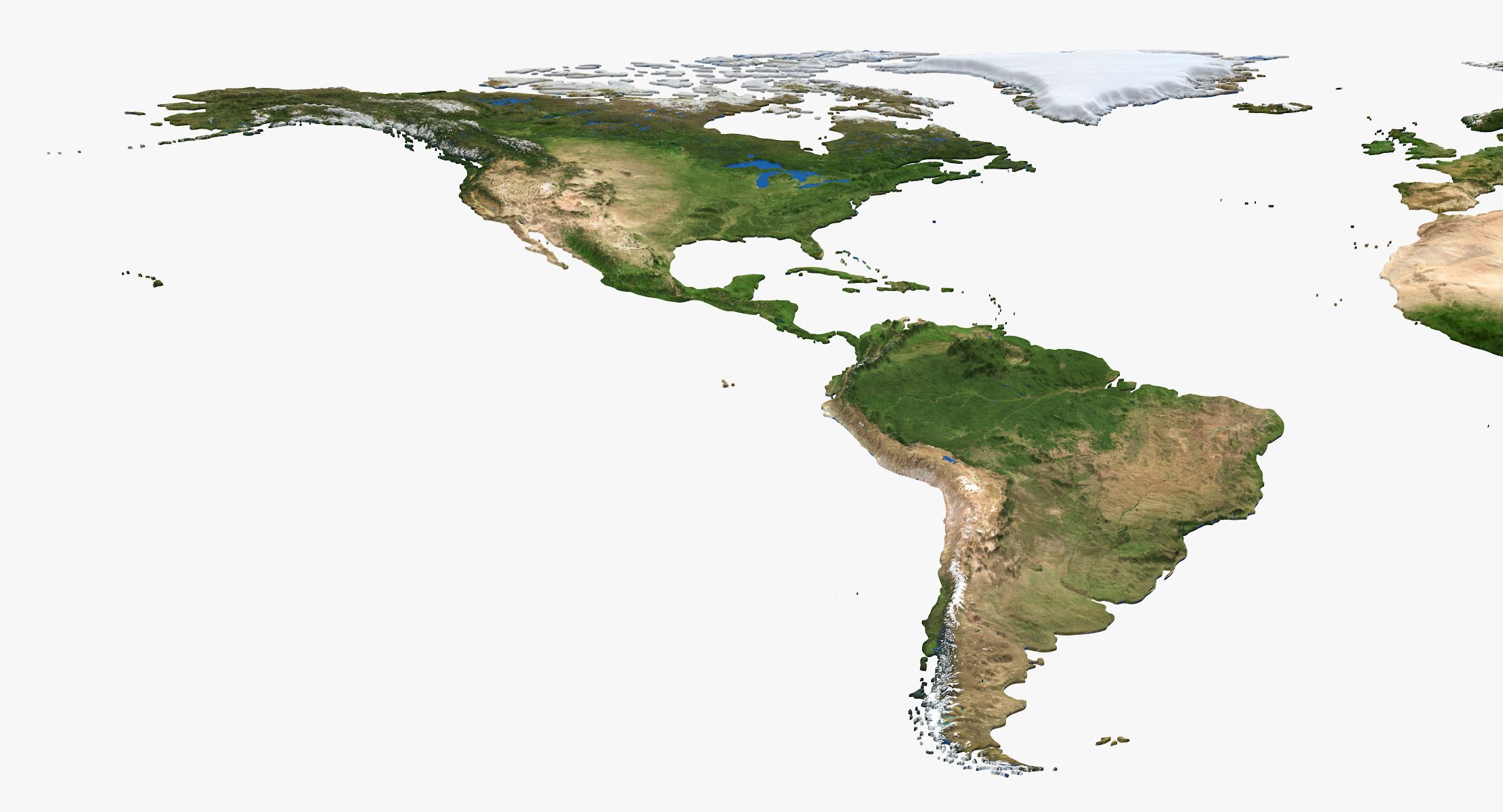
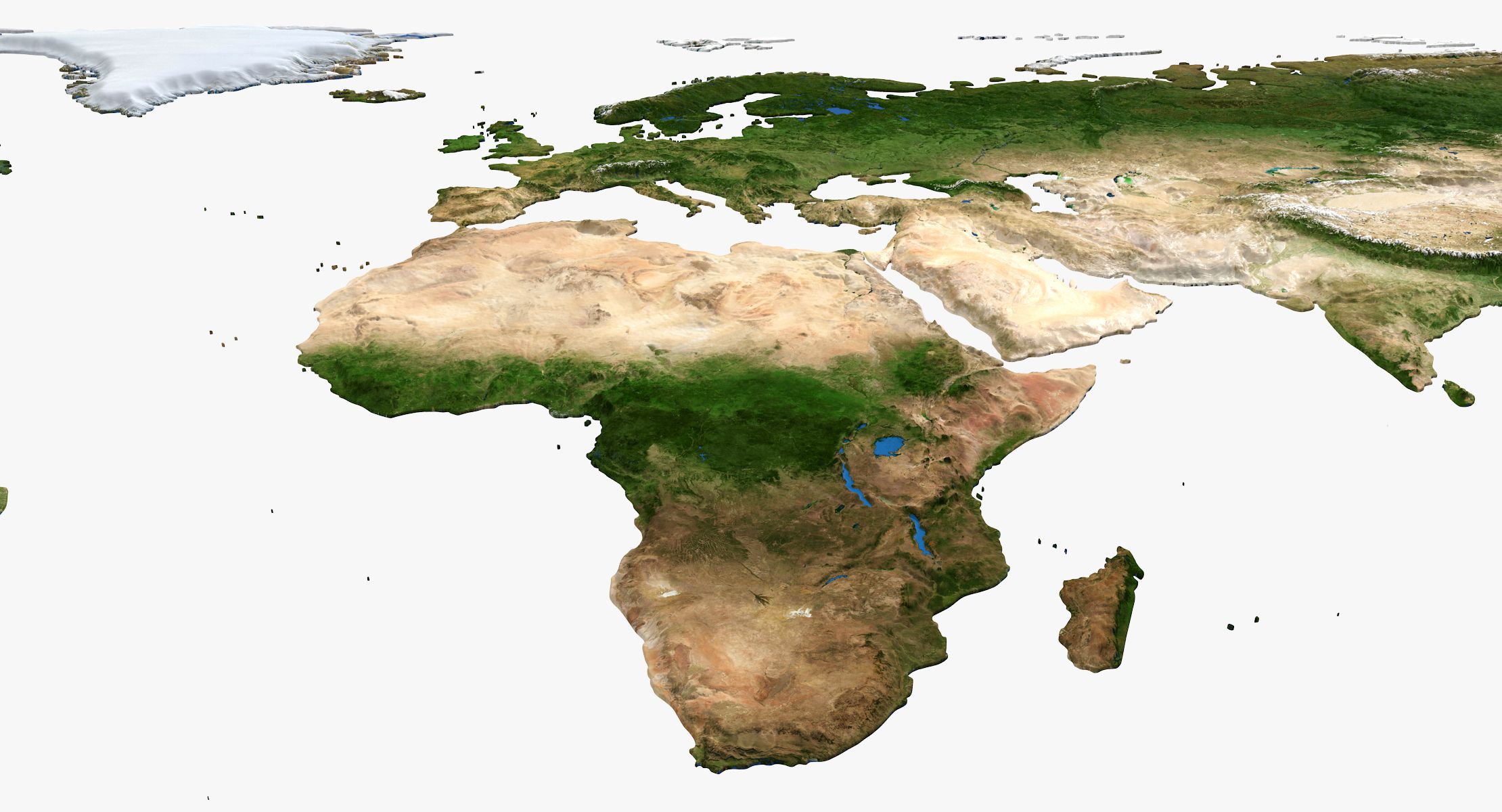
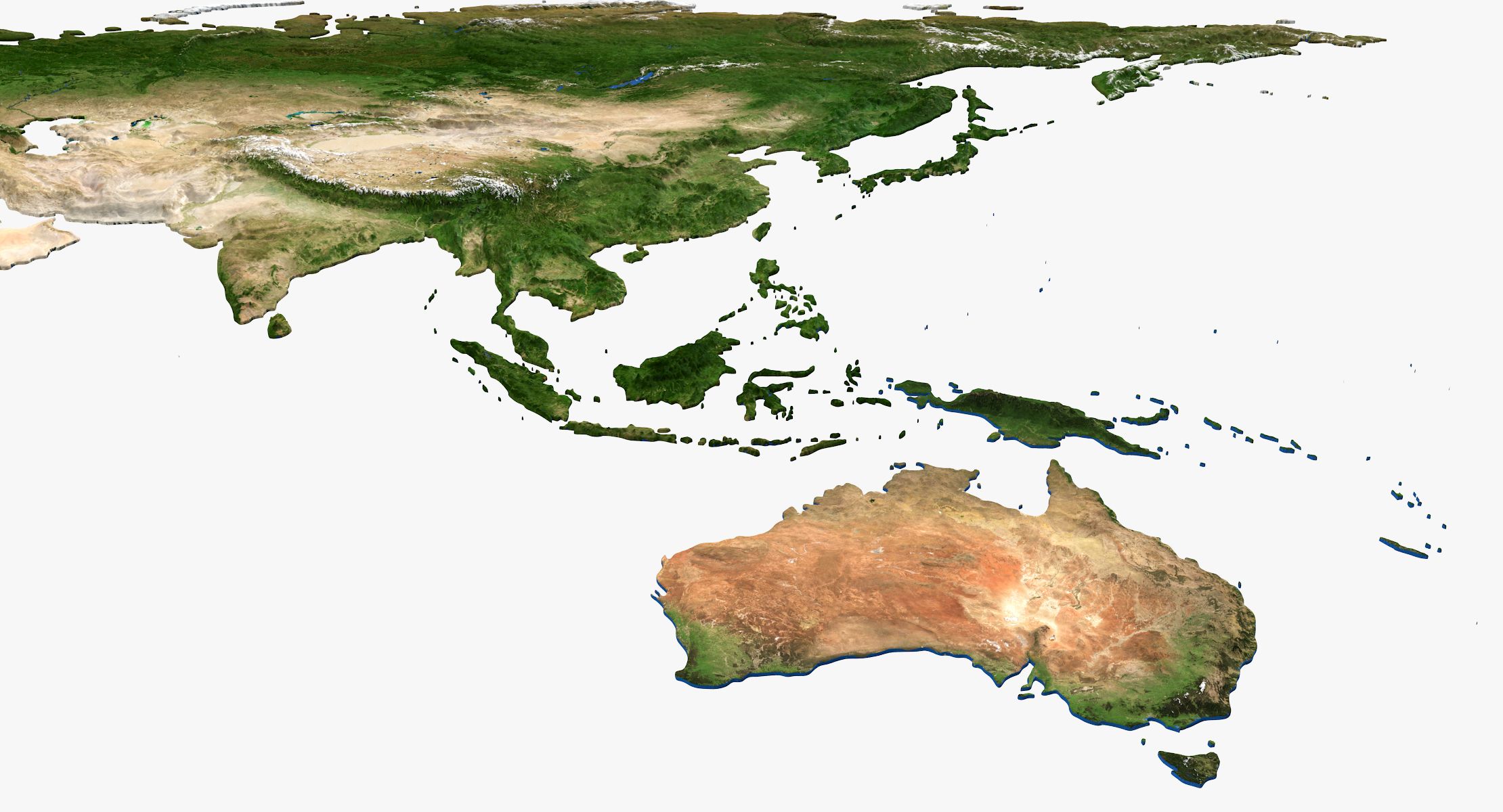
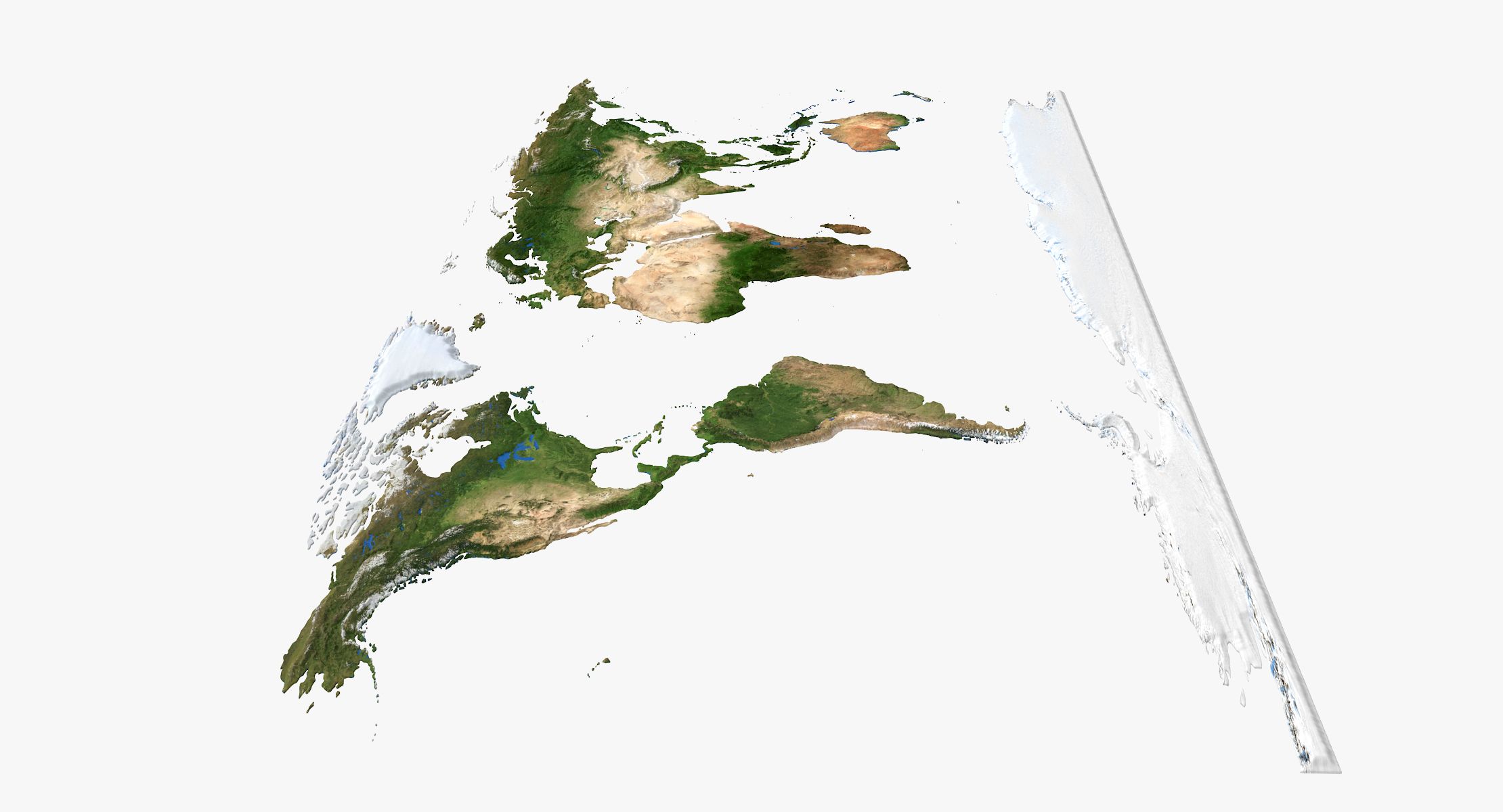
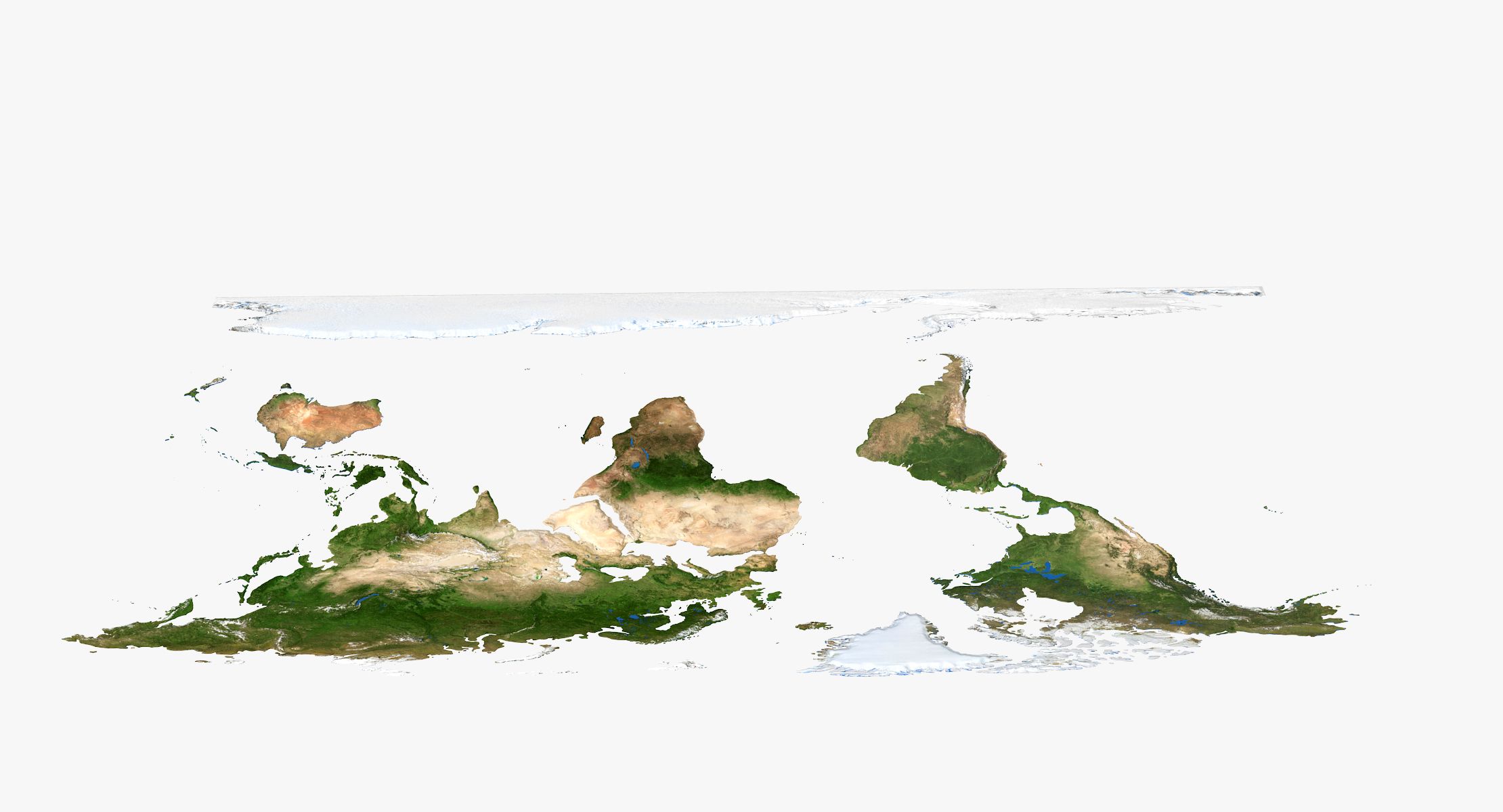
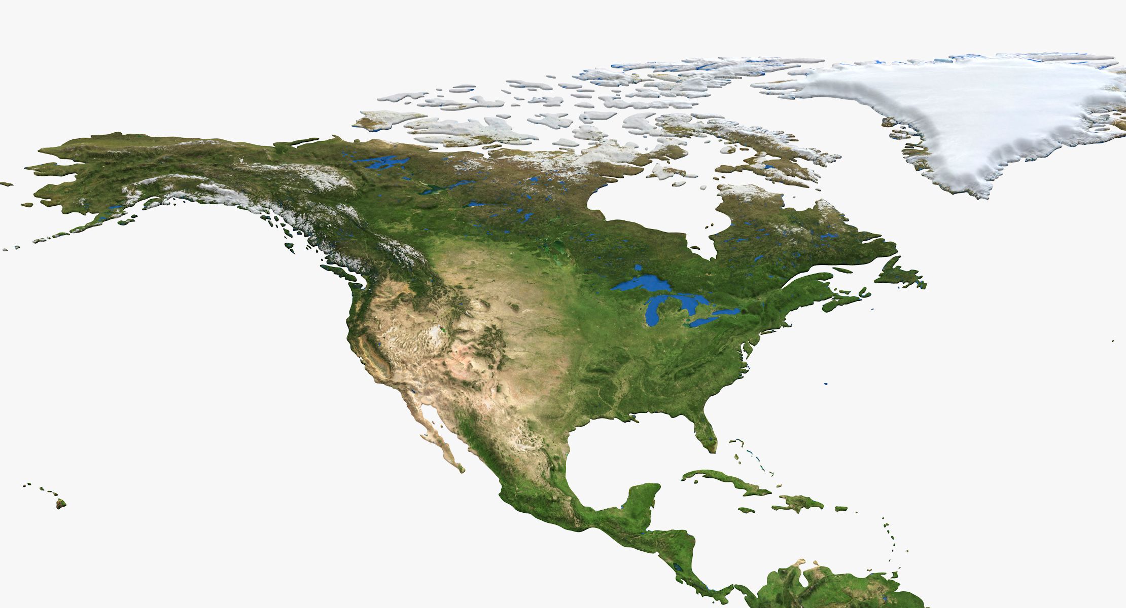
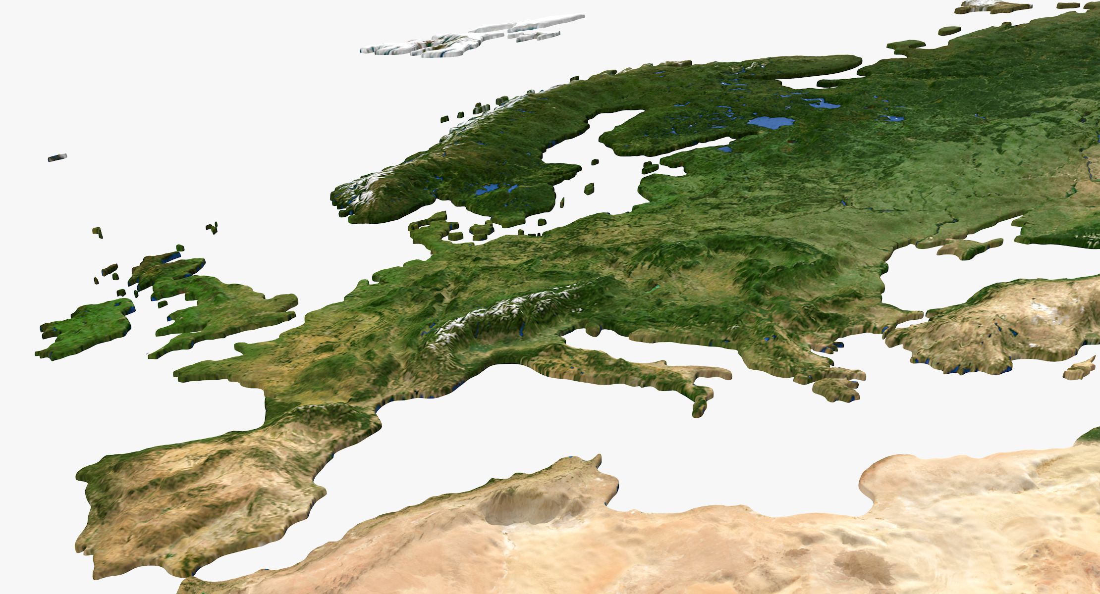
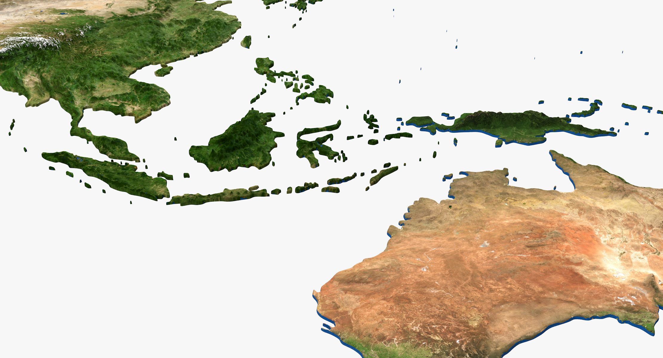
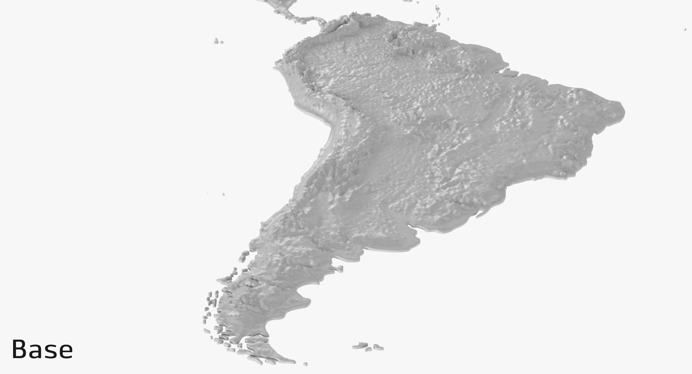
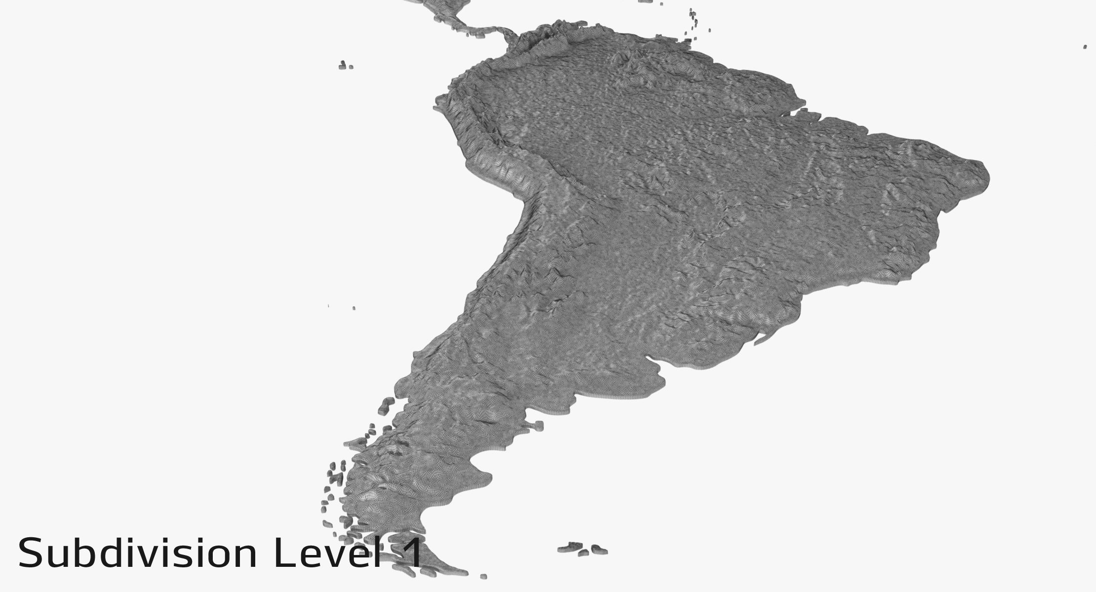
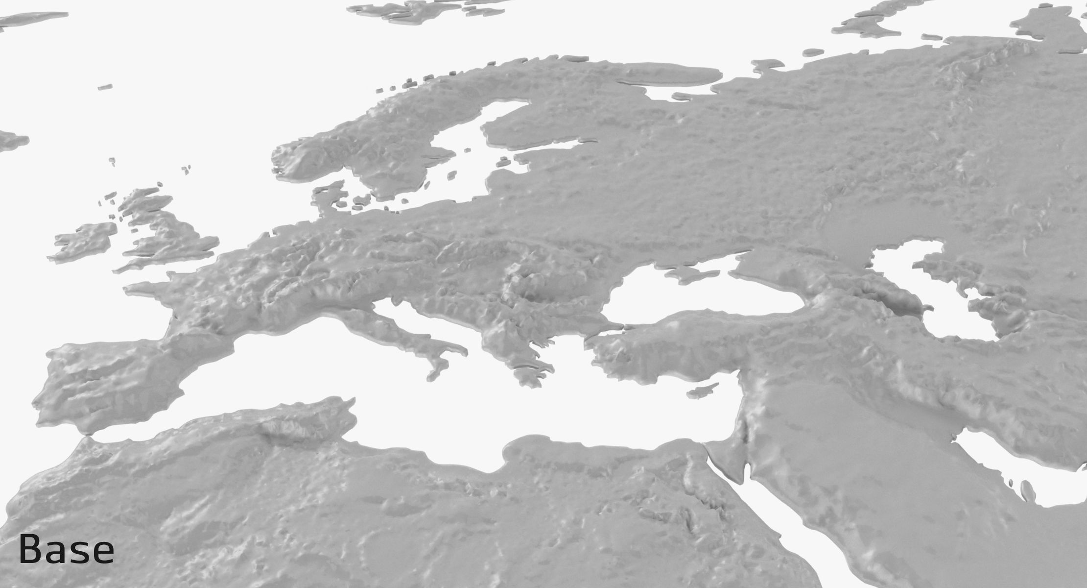
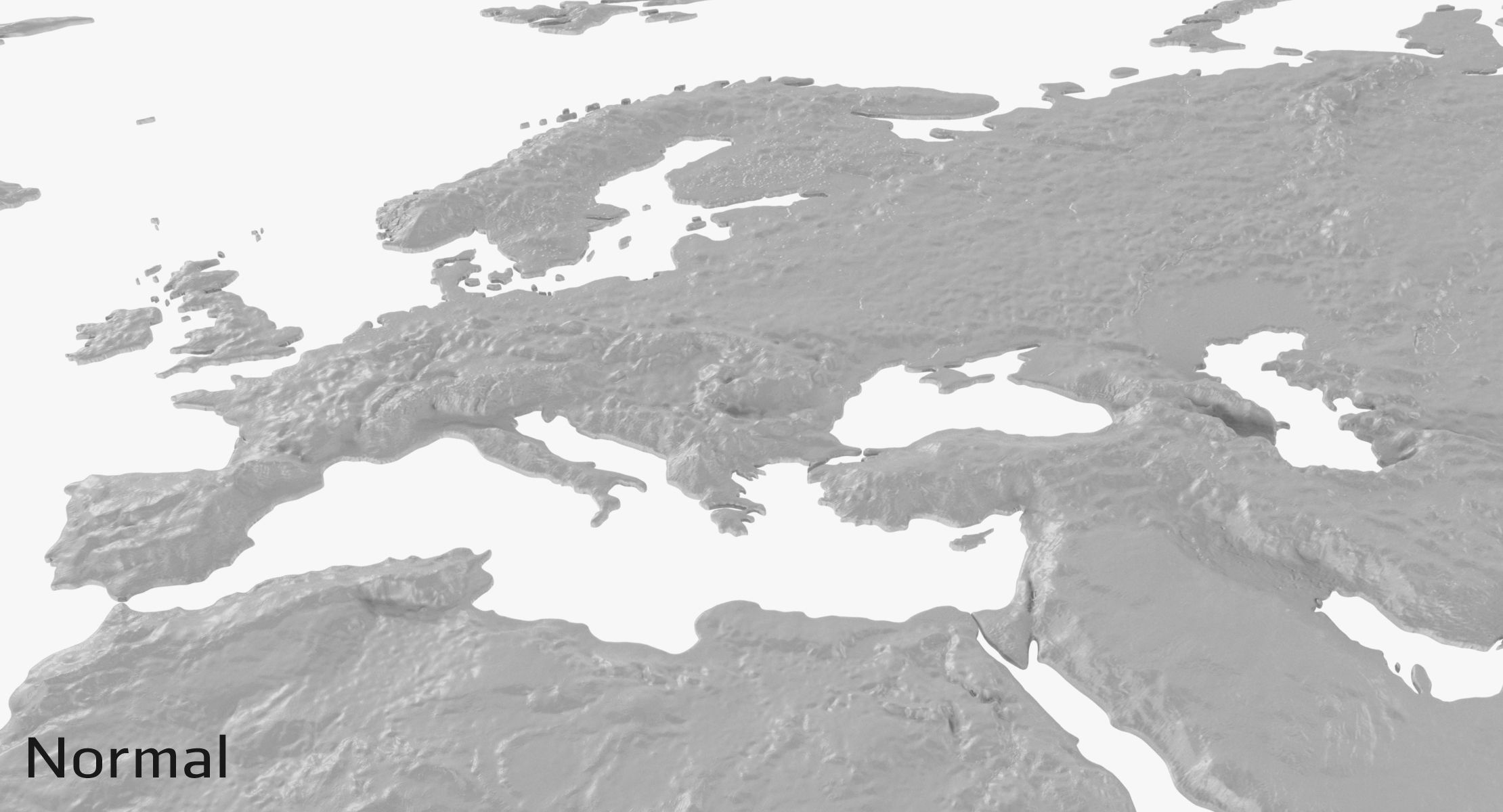
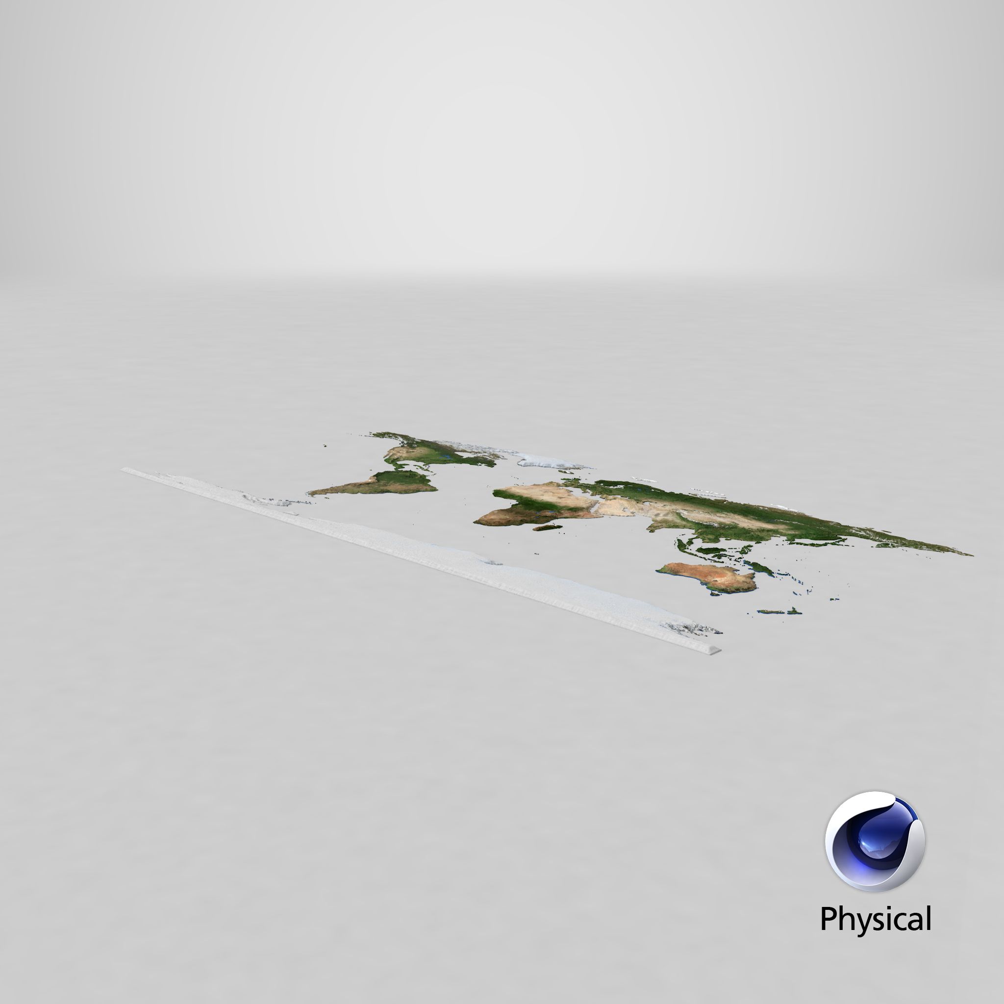
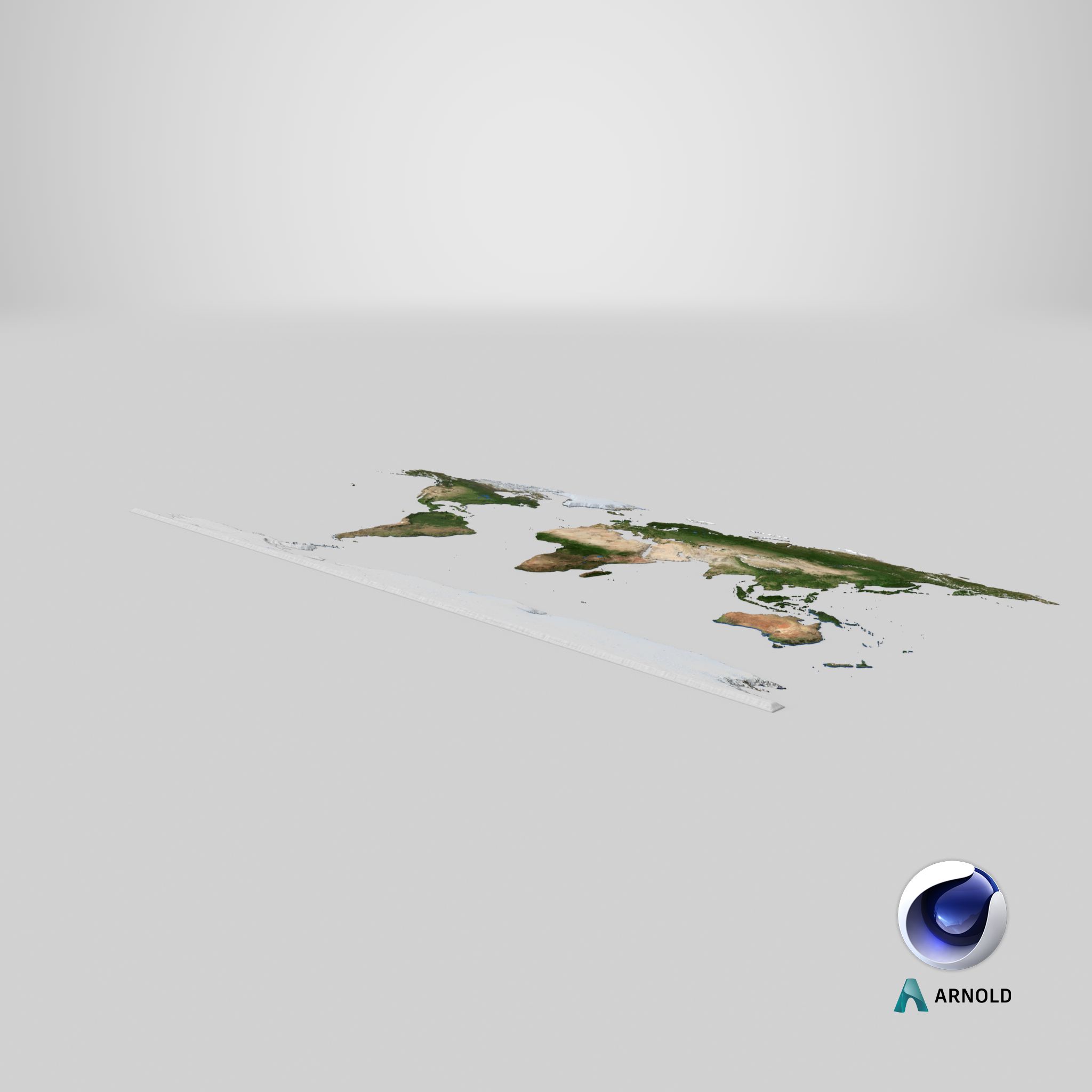
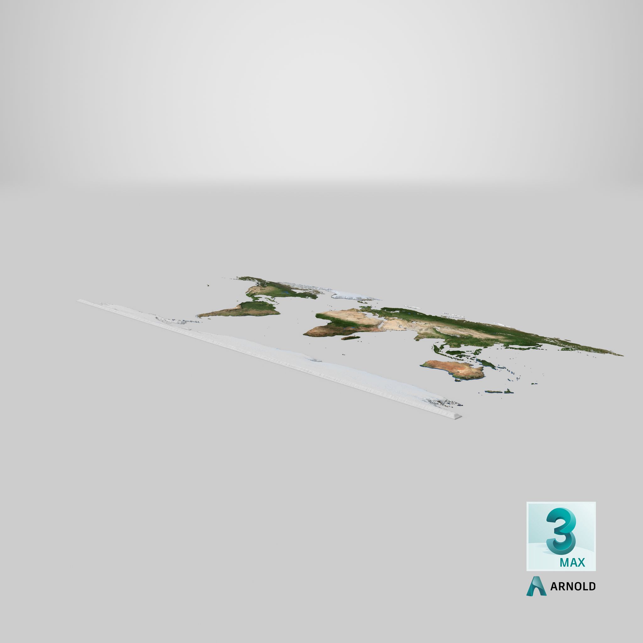
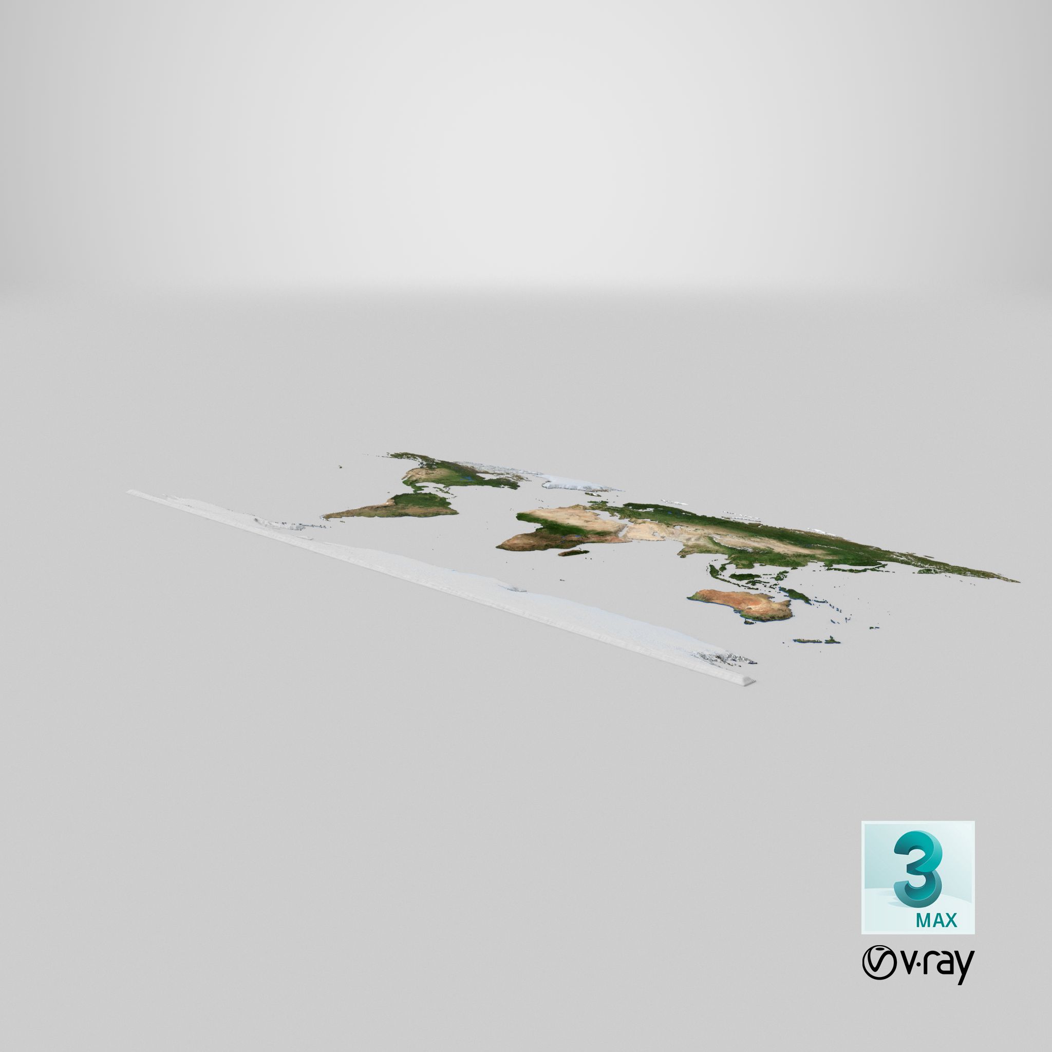
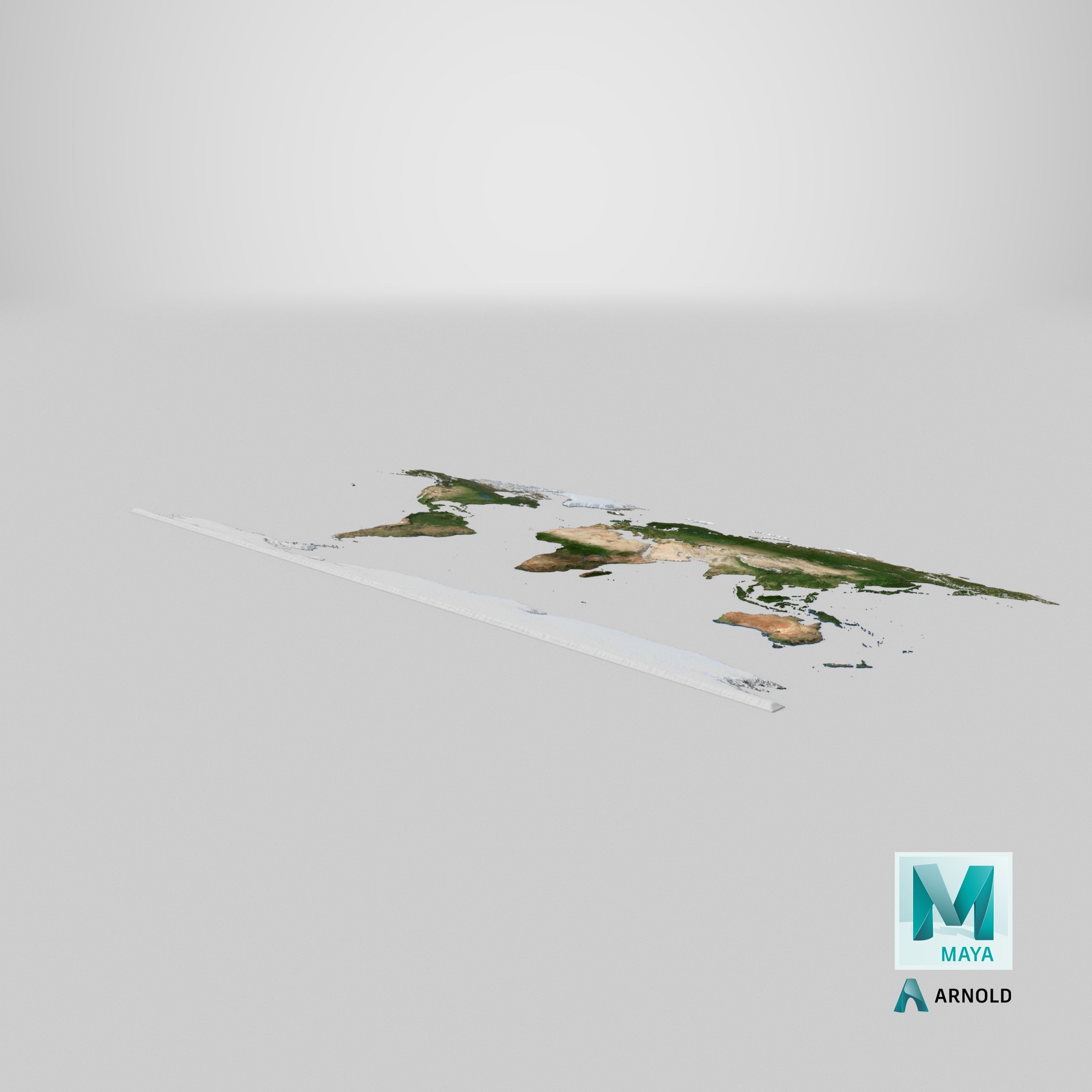
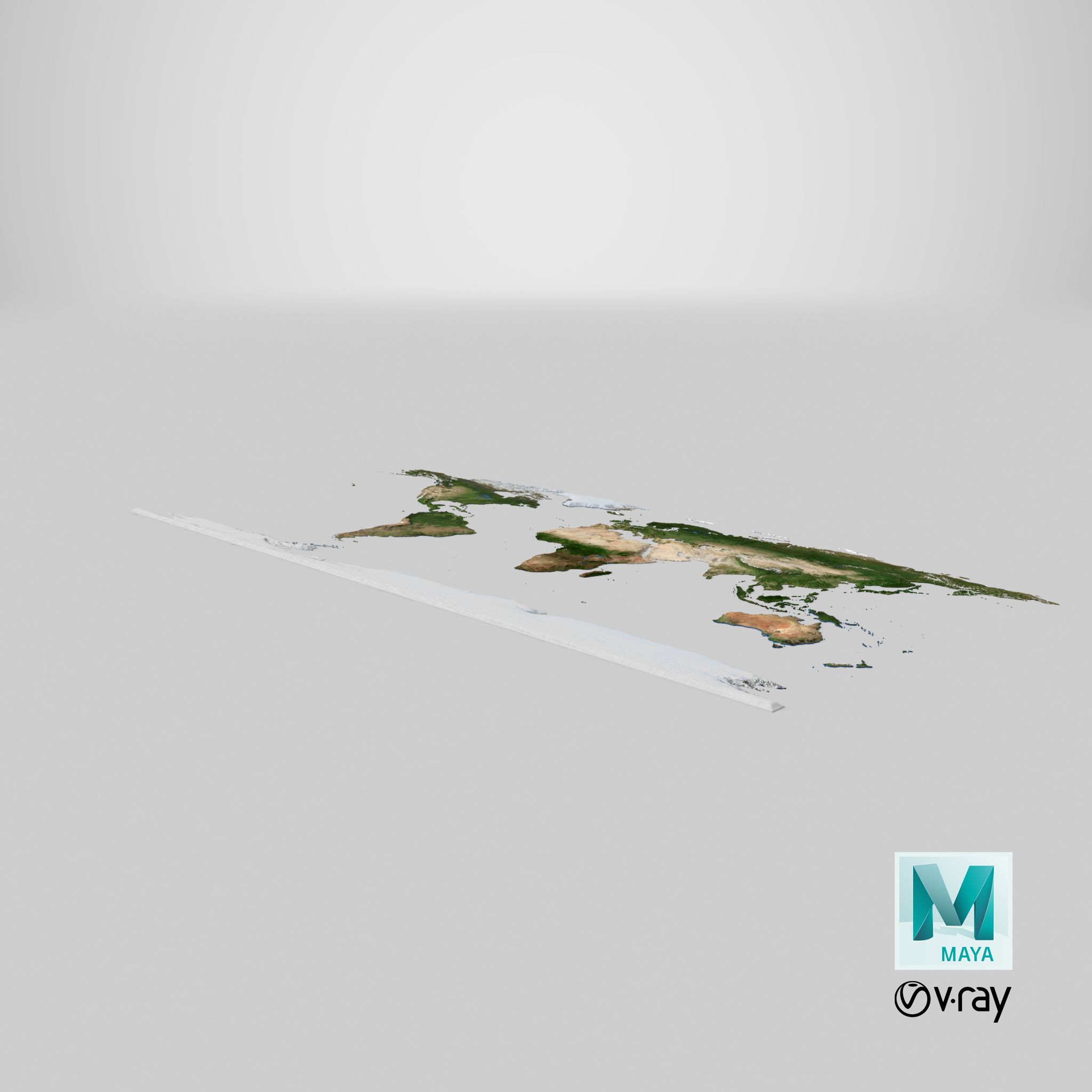
World Topographic Map, natural color 3D map.
Native scene:
3dsMax2012 V-Ray render. With light rig and ready for rendering.
Additional scenes:
3dsMax2012 Scanline render. With light rig and ready for rendering.
*.FBX
*.OBJ
Objects: 6
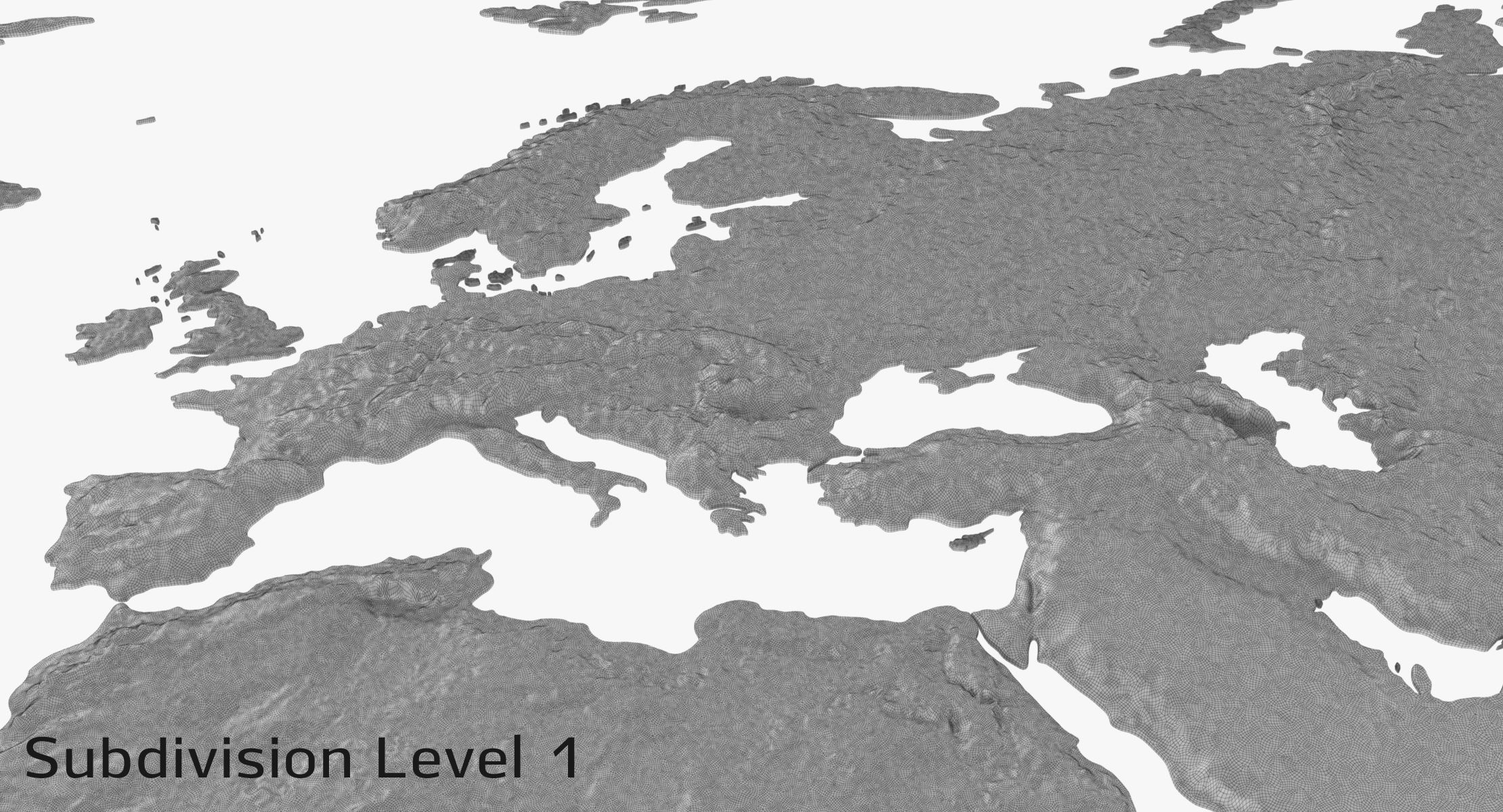
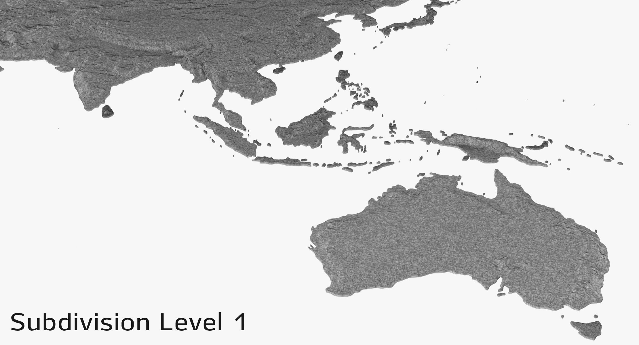
Subdivision Level 0
Polygons: 521, 298
Verts: 477, 594
Subdivision Level 1
Polygons: 3, 937, 768
Verts: 1, 997, 243
Textures 29:
(there are 8k Color maps for each continent at textures folder, if you need more details)
Each continent has four textures: 4096 x 4096 Diffuse, Specilar, Glossines, Normal - *.jpg
North_America, South_America, Africa, Eurasia, Australia_Oceania, Antarctica
1 *.exr file
Units: centimeters
Dimensions: 8441cm x 3966cm x 47cm
Preview images rendered with V-Ray
NOTE: This model contains poles (more than 5 edges that converge to a single vertex.)
Sep 29, 2020
추가 된 날짜
Aug 29, 2021
마지막 업데이트
리뷰
현재이 제품에 대한 리뷰가 없습니다.
얼음을 깬 첫 번째 사람이되지 않겠습니까?