


Världstopografisk karta 3D-modell
0


0
besök
Insänd av
Constantin Os
Specifikationer
- Geometripolygonal_quads/tris
- polygoner521,298
- hörn477,594
- strukturerYes
- riggadeNo
- AnimeradNo
- 3D Printable ReadyNo
- Spelklar (låg poly)No
- UV MappadYes
- Unwrapped UVsnon-overlapping
Beskrivning
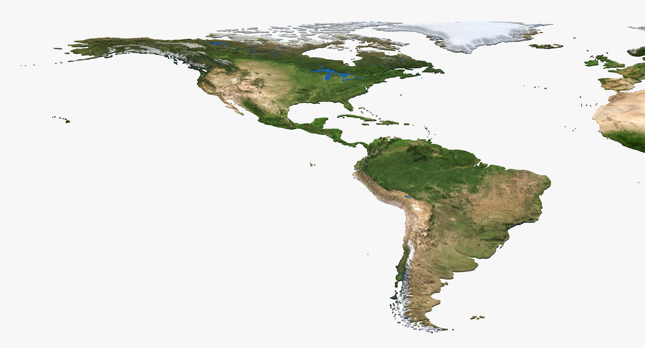
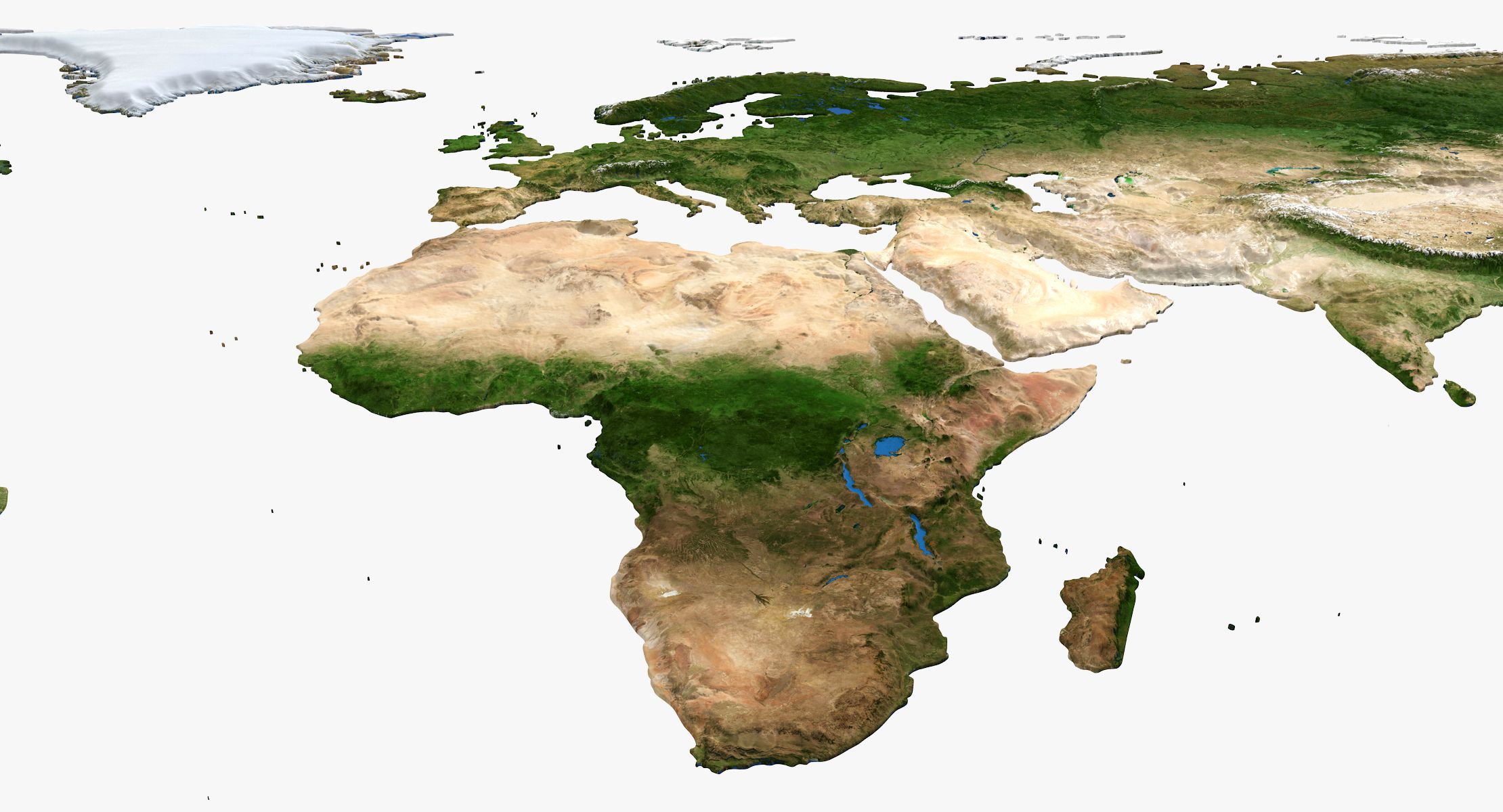
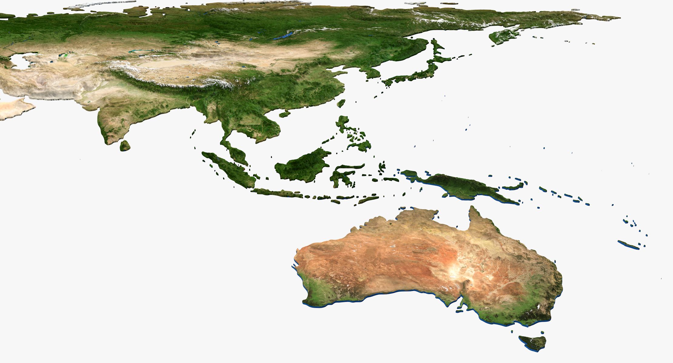
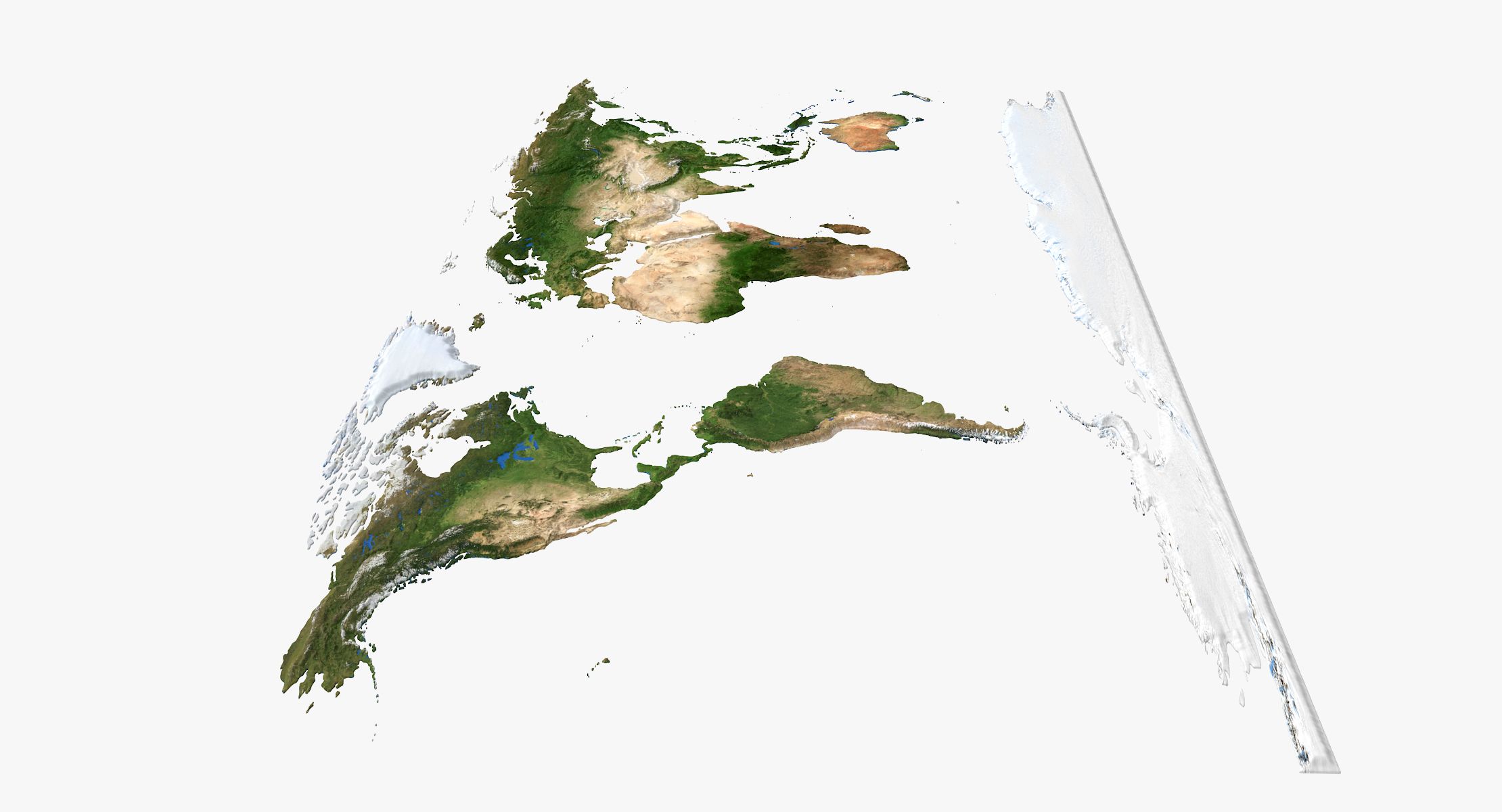
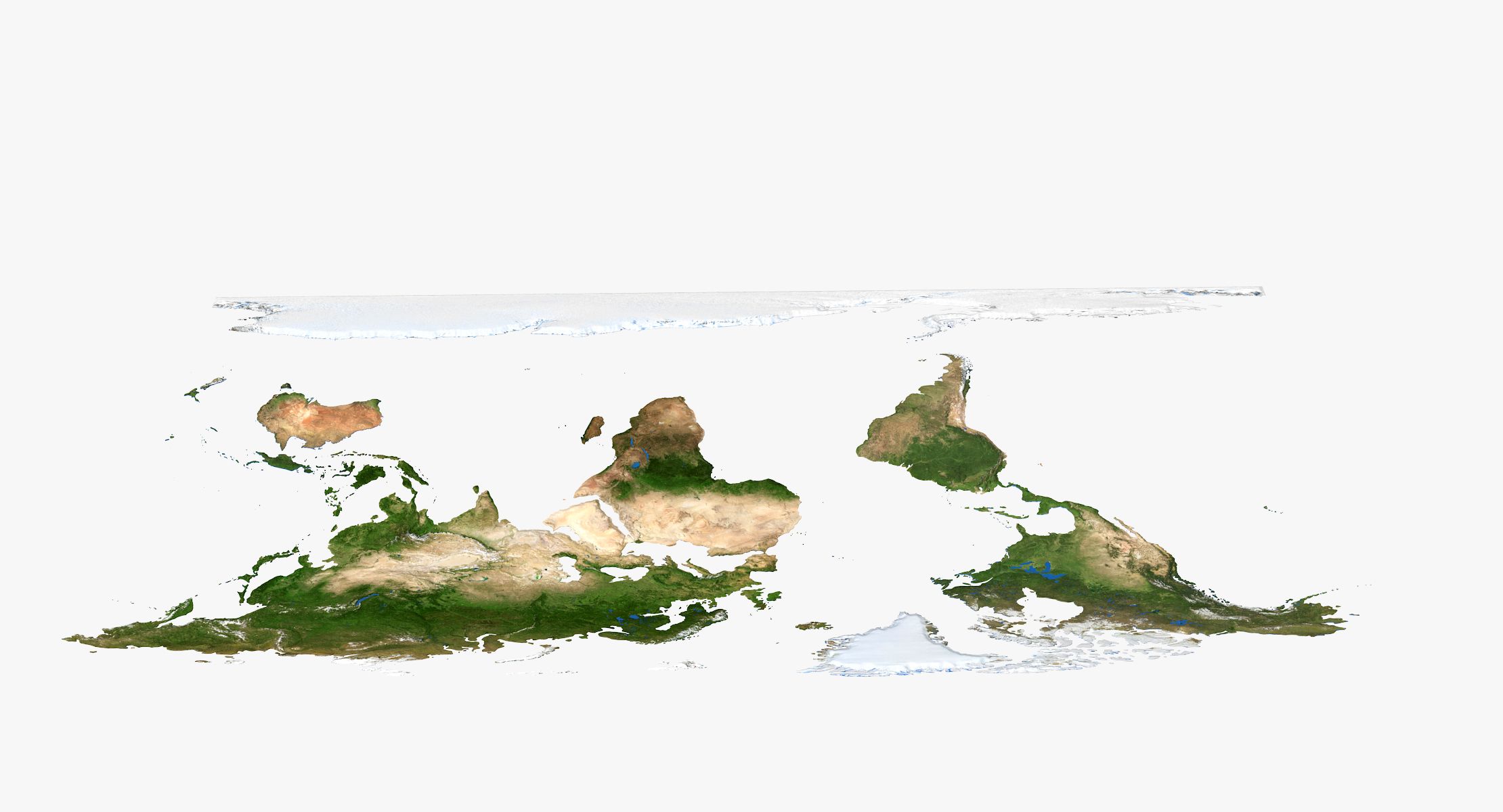
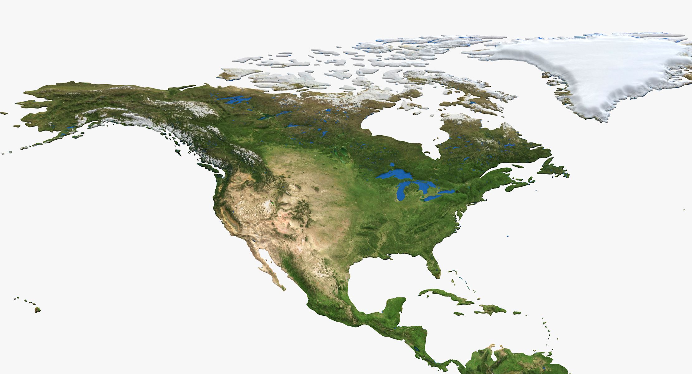
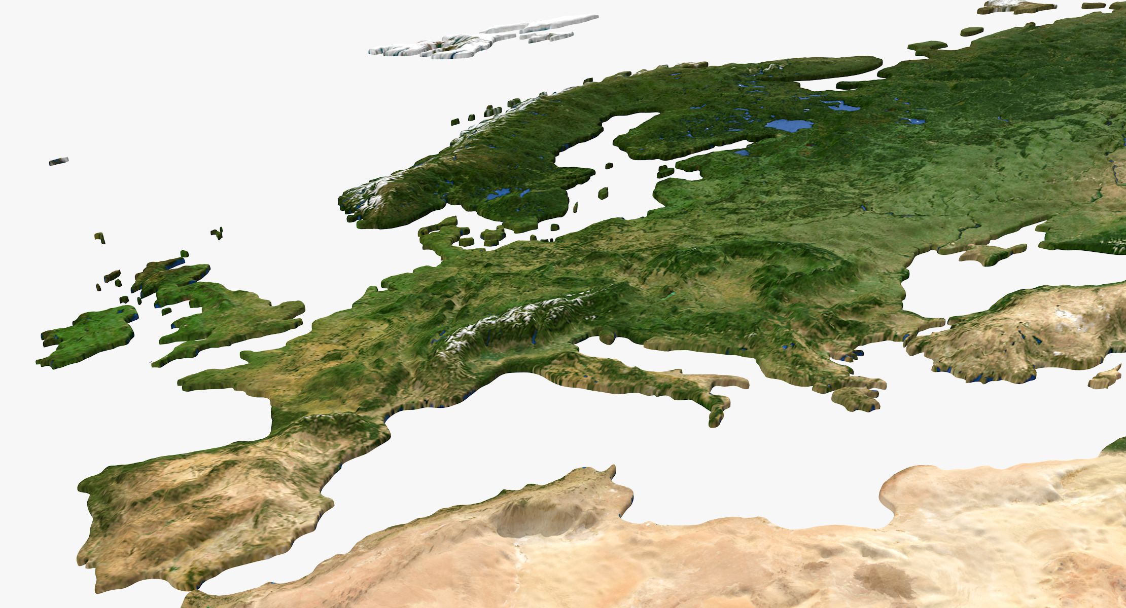
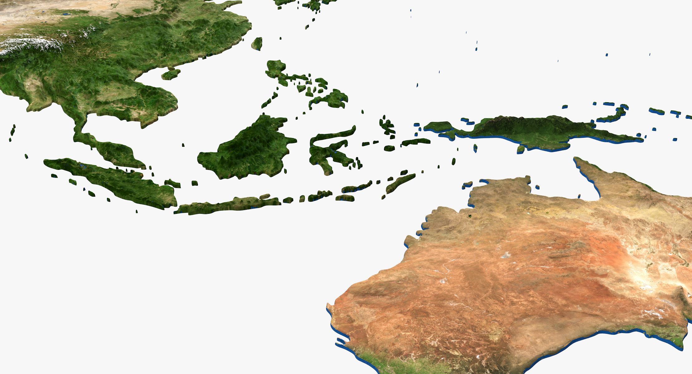
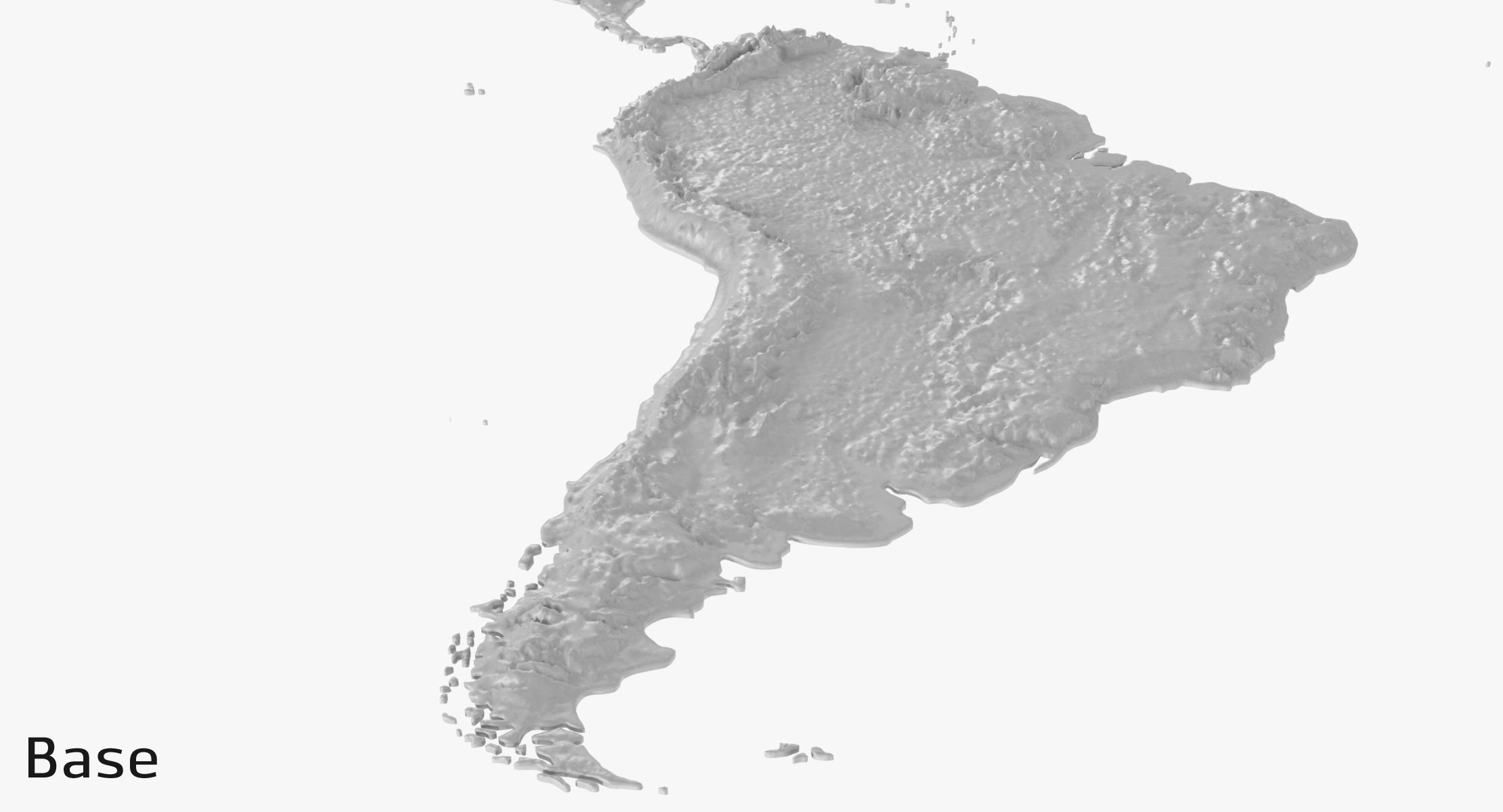
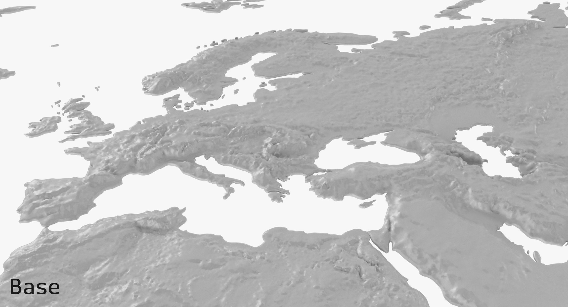
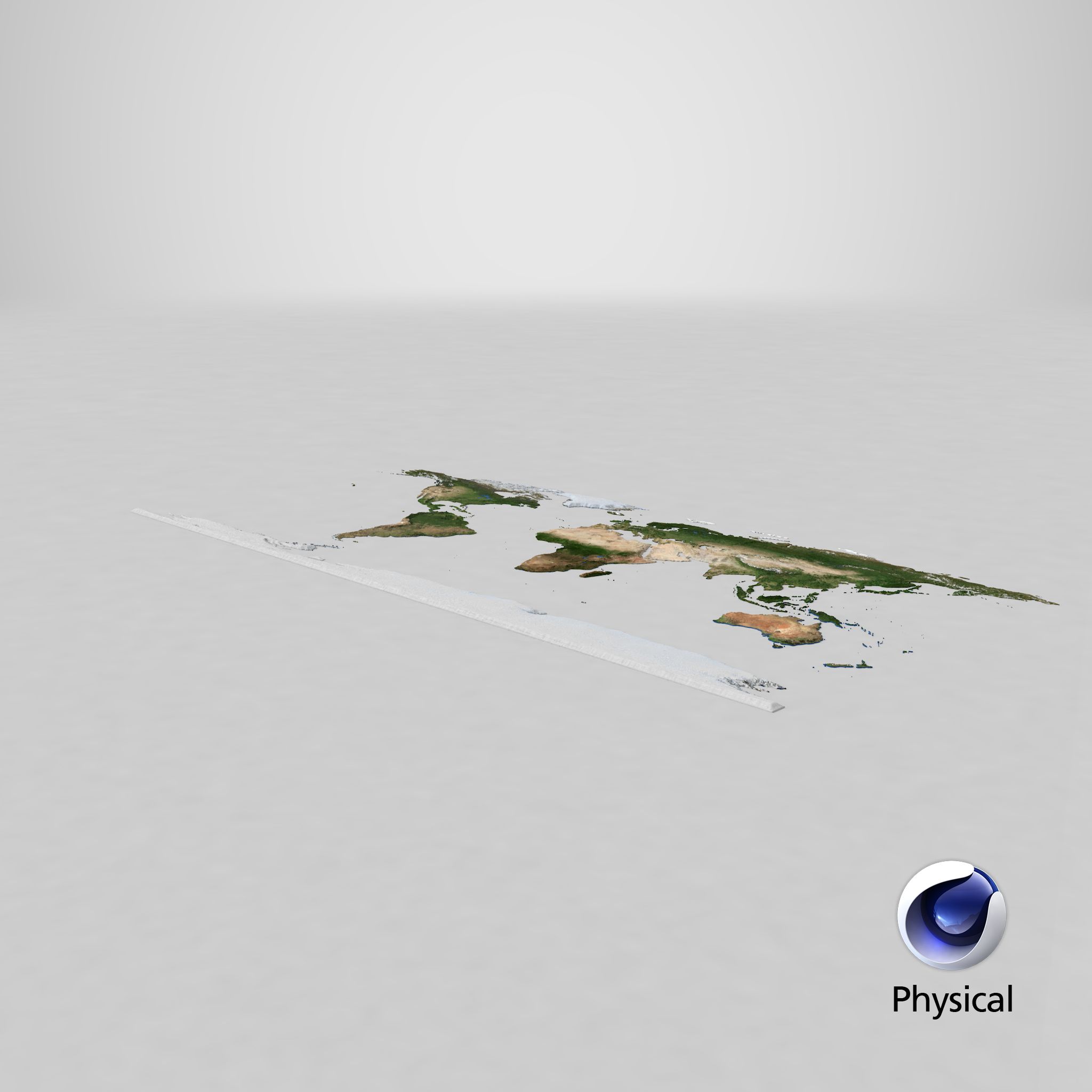
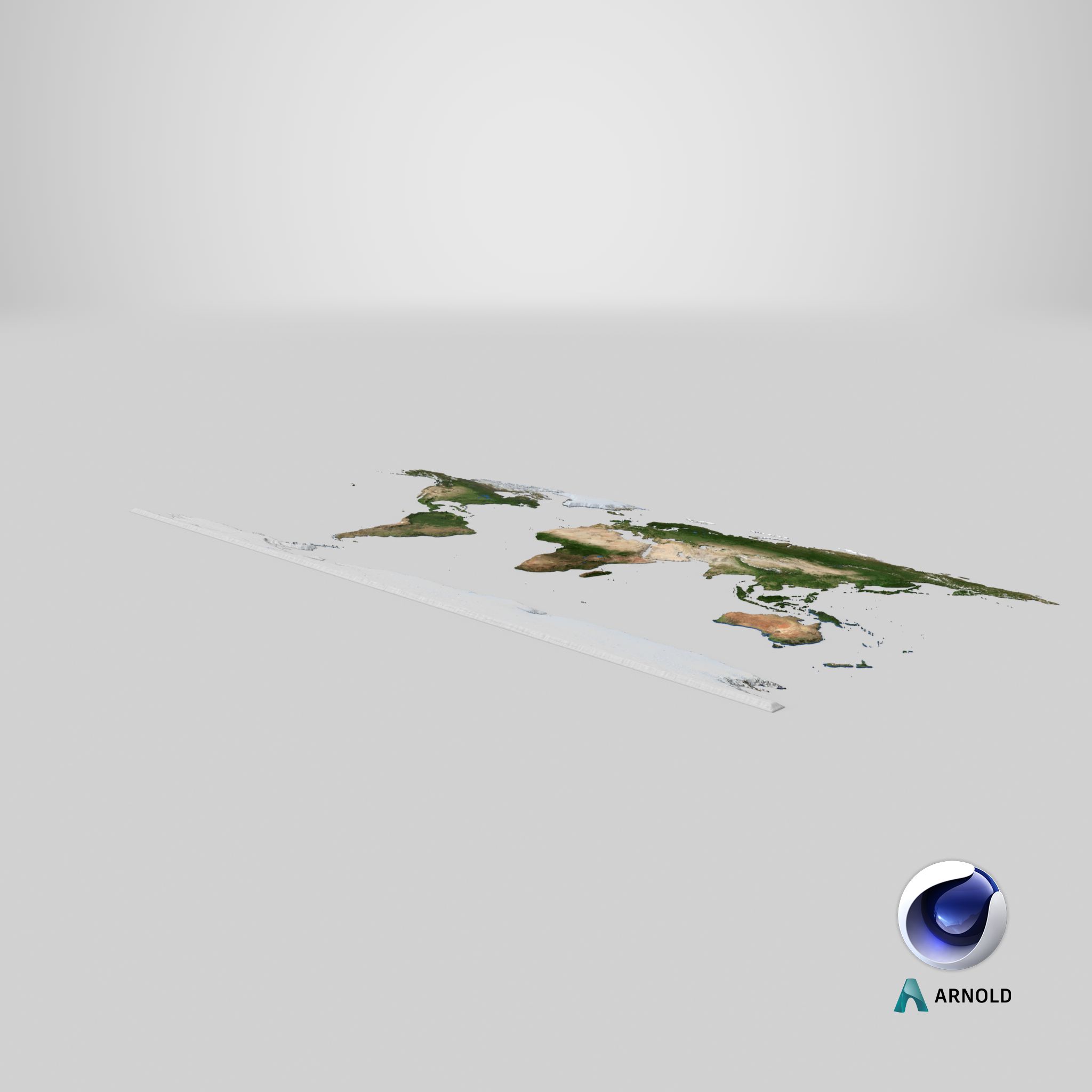
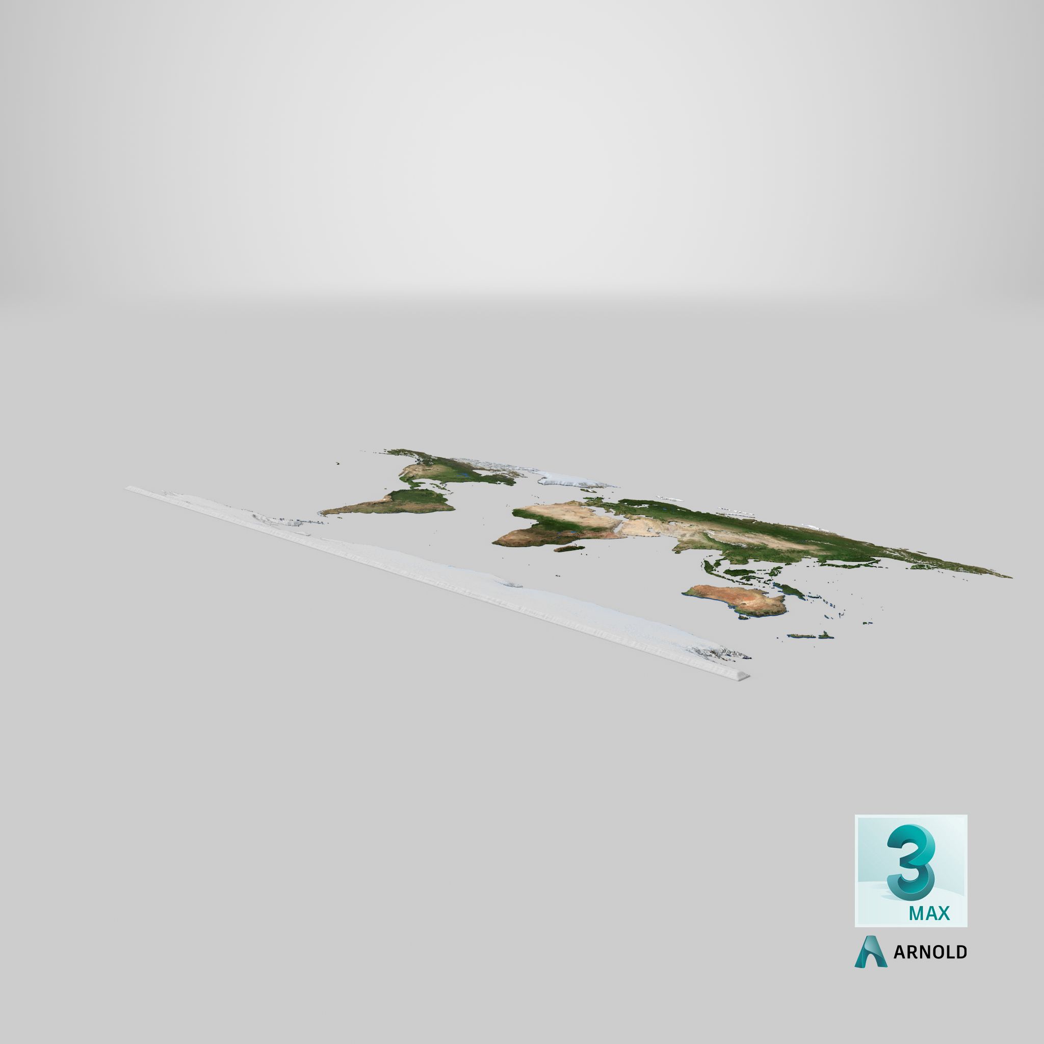
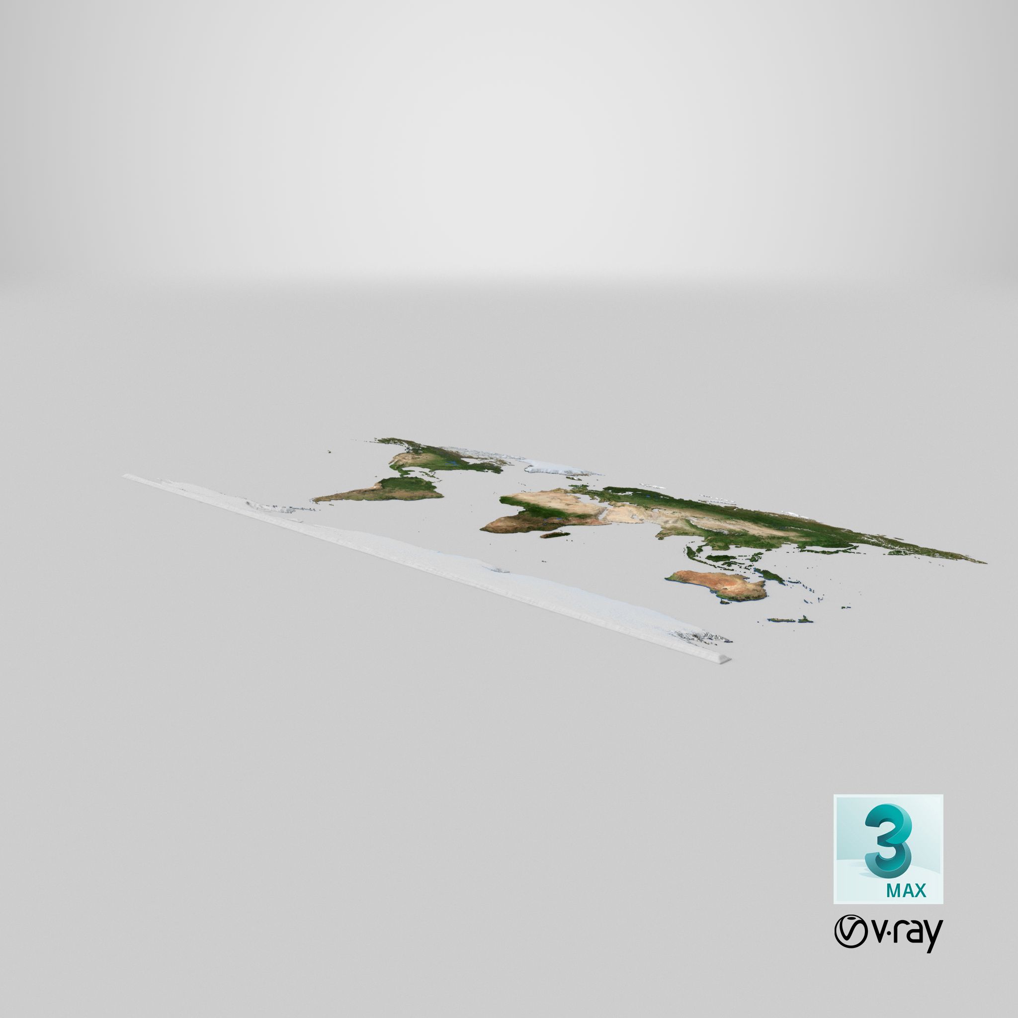
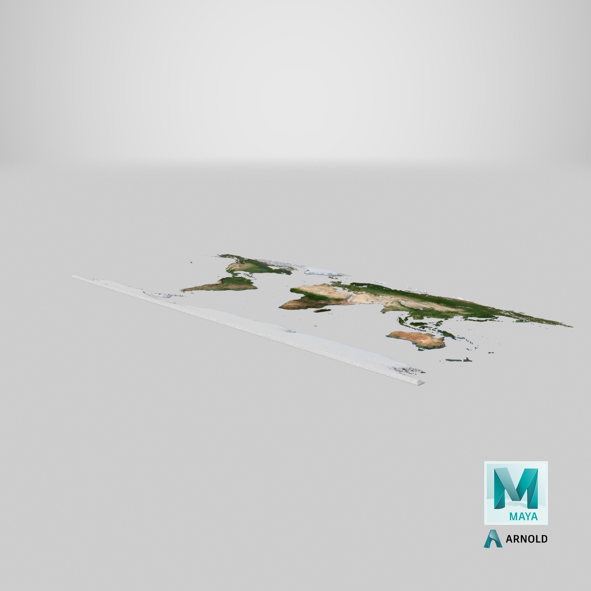
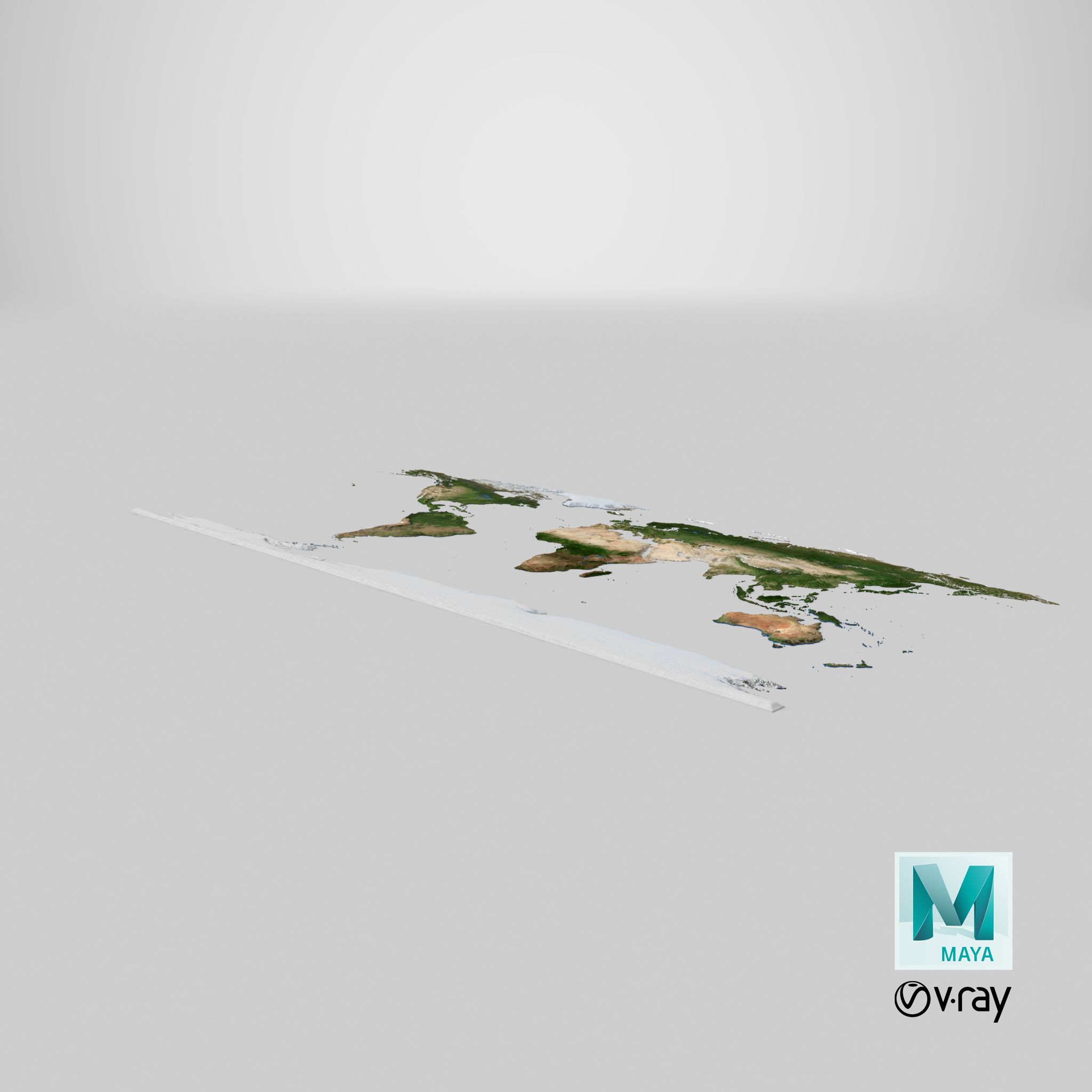
World Topographic Map, natural color 3D map.
Native scene:
3dsMax2012 V-Ray render. With light rig and ready for rendering.
Additional scenes:
3dsMax2012 Scanline render. With light rig and ready for rendering.
*.FBX
*.OBJ
Objects: 6
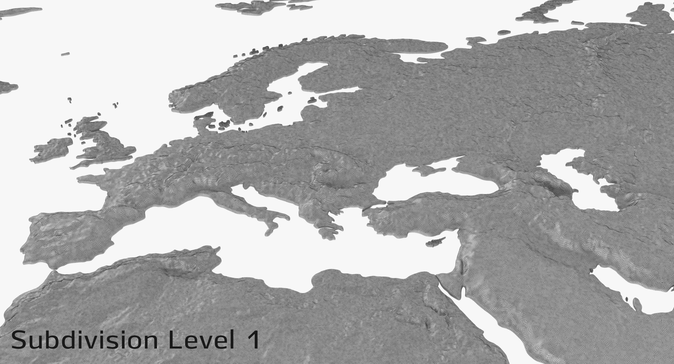
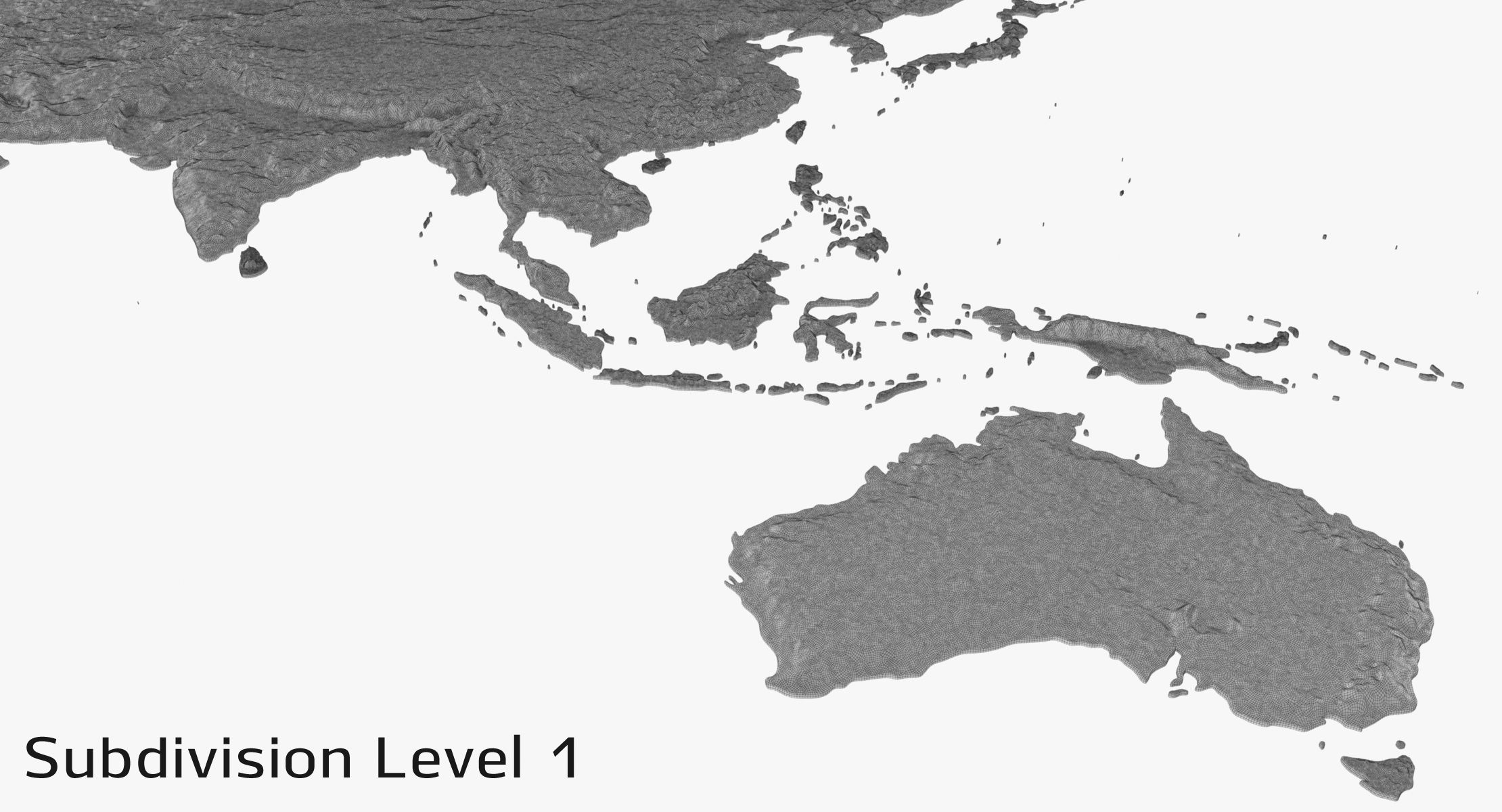
Subdivision Level 0
Polygons: 521, 298
Verts: 477, 594
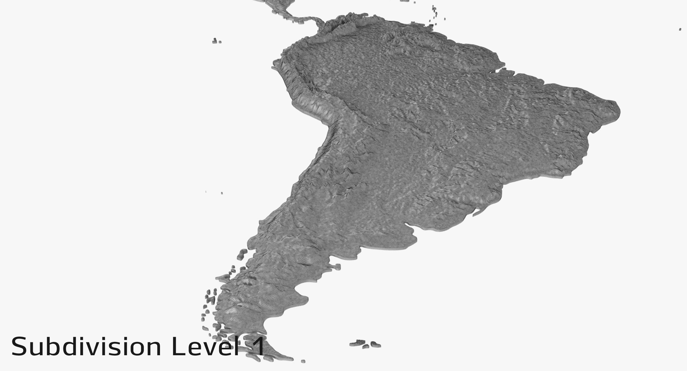
Subdivision Level 1
Polygons: 3, 937, 768
Verts: 1, 997, 243
Textures 29:
(there are 8k Color maps for each continent at textures folder, if you need more details)
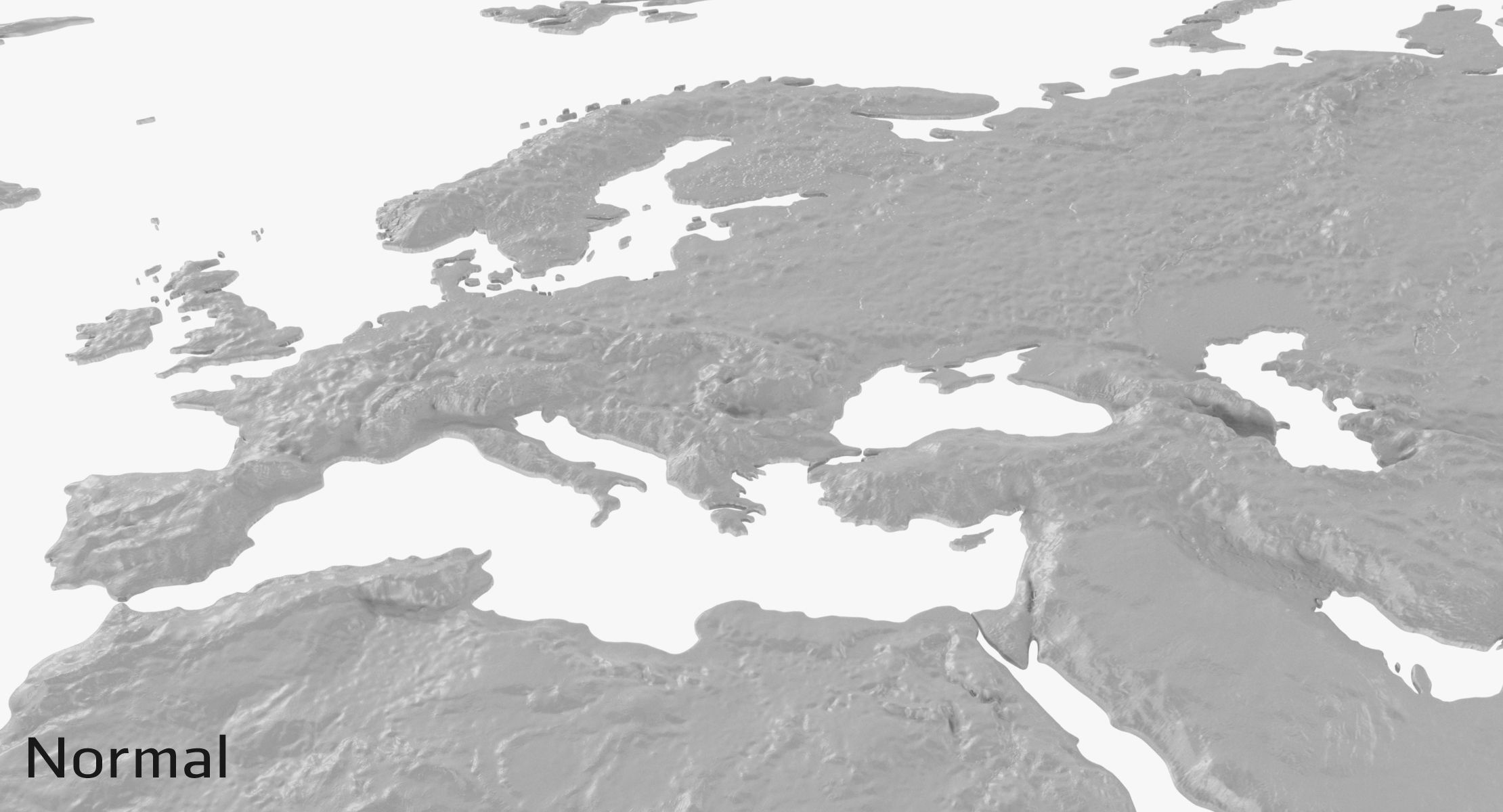
Each continent has four textures: 4096 x 4096 Diffuse, Specilar, Glossines, Normal - *.jpg
North_America, South_America, Africa, Eurasia, Australia_Oceania, Antarctica
1 *.exr file
Units: centimeters
Dimensions: 8441cm x 3966cm x 47cm
Preview images rendered with V-Ray
NOTE: This model contains poles (more than 5 edges that converge to a single vertex.)
Sep 29, 2020
datum tillagt
Aug 29, 2021
senaste uppdateringen
recensioner
Det finns för tillfället inga recensioner för denna produkt.
Varför inte vara den första som bryter isen?