


 hoogtekaart 3d model")


Platte aardemodel, textuur en hoogtekaart 3d model
0


Royalty-vrije LicentieAlle uitgebreide toepassingen
Eenvoudig rendement
Beste prijsgarantie
Werkt uit de doos
0
bezoeken
Ingezonden door
selzier
bestek
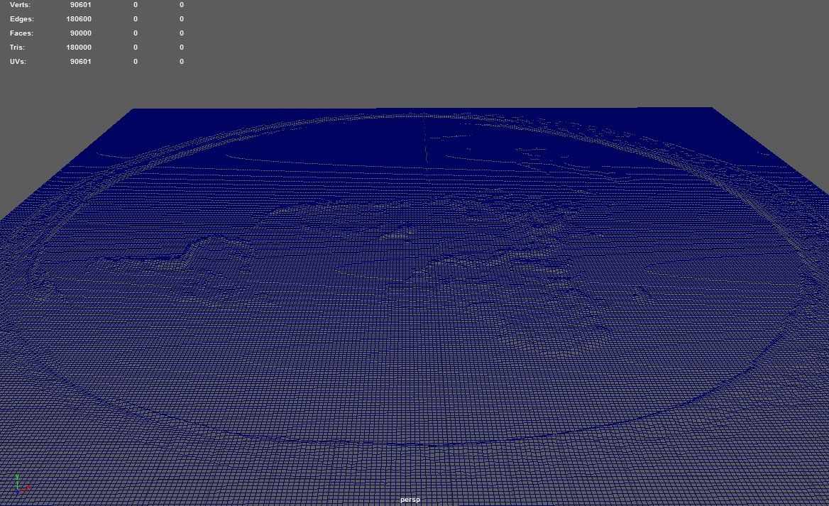
- Geometriepolygonal
- polygonen180,000
- hoekpunten96,601
- texturesYes
- opgetuigdNo
- AnimatedNo
- Geschikt voor 3D-afdrukNo
- Game Ready (laag poly)No
- UV-gemappedYes
- Onverpakte UV'snone
Omschrijving
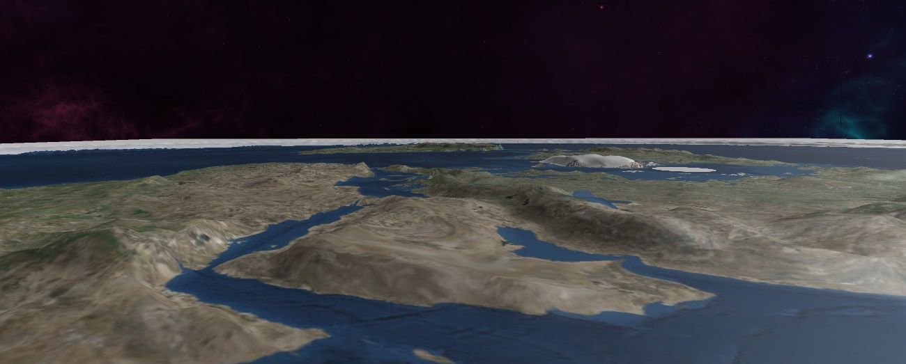
Planet earth in polar azimuthal equidistant projection- "The Flat Earth". This 3d model shows geographically correct height for earth's continents.
Includes:
- Flat Earth 3d Model
- Flat Earth Heightmap in ultra high resolution, 11812x11812
- Map of earth in azimuth equidistant projection generated from satellite imagery, in ultra high resolution, 11813x11709
Nov 13, 2021
Datum toegevoegd
Nov 29, 2021
laatste update
beoordelingen
Er zijn momenteel geen beoordelingen voor dit product.
Waarom niet de eerste zijn om het ijs te breken?