


 höjdkarta 3d model")


Platt jordmodell, textur och höjdkarta 3D-modell
0


0
besök
Insänd av
selzier
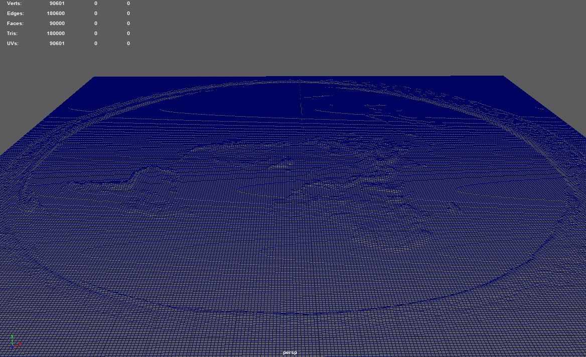
Specifikationer
- Geometripolygonal
- polygoner180,000
- hörn96,601
- strukturerYes
- riggadeNo
- AnimeradNo
- 3D Printable ReadyNo
- Spelklar (låg poly)No
- UV MappadYes
- Unwrapped UVsnone
Beskrivning
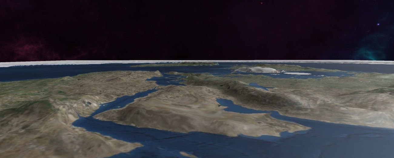
Planet earth in polar azimuthal equidistant projection- "The Flat Earth". This 3d model shows geographically correct height for earth's continents.
Includes:
- Flat Earth 3d Model
- Flat Earth Heightmap in ultra high resolution, 11812x11812
- Map of earth in azimuth equidistant projection generated from satellite imagery, in ultra high resolution, 11813x11709
Nov 13, 2021
datum tillagt
Nov 29, 2021
senaste uppdateringen
recensioner
Det finns för tillfället inga recensioner för denna produkt.
Varför inte vara den första som bryter isen?