


Ścieżka skanowania naziemnego 02 Model 3D
0

Licencja bezpłatnaWszystkie rozszerzone zastosowania
Proste zwroty
Gwarancja najlepszej ceny
Działa po wyjęciu z pudełka
0
Odwiedziny
Przesłane przez
3dsam79
Specyfikacje
- Geometriapolygonal_tris only
- Wieloboki1,574,406
- Wierzchołki789,659
- TeksturyYes
- RiggedNo
- OżywionyNo
- Gotowy do druku 3DNo
- Game Ready (low poly)No
- Mapowanie UVYes
- Nieopakowane UVnon-overlapping
Opis
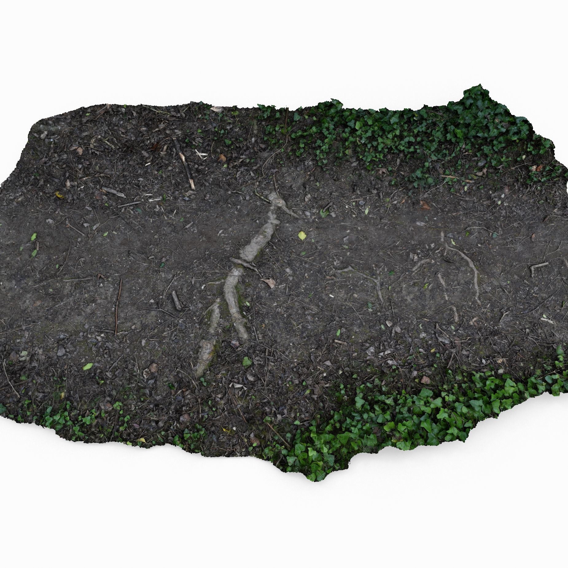
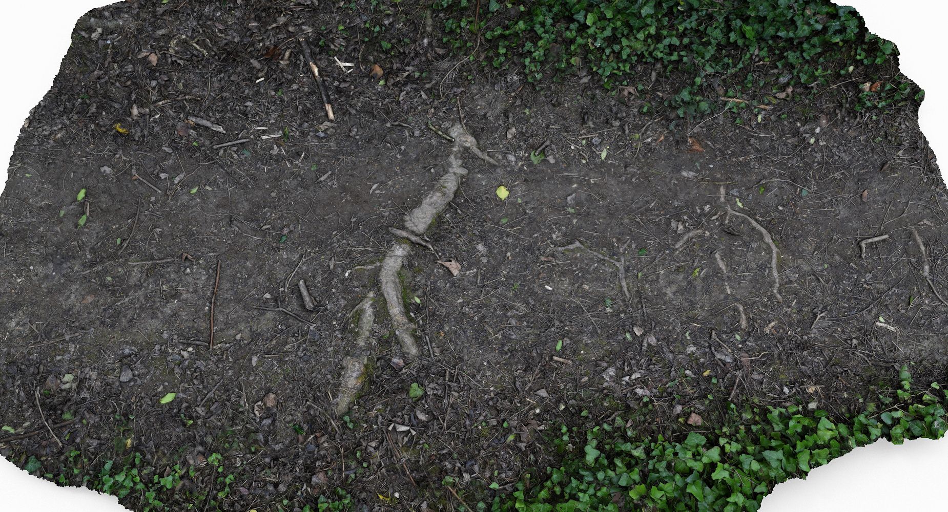
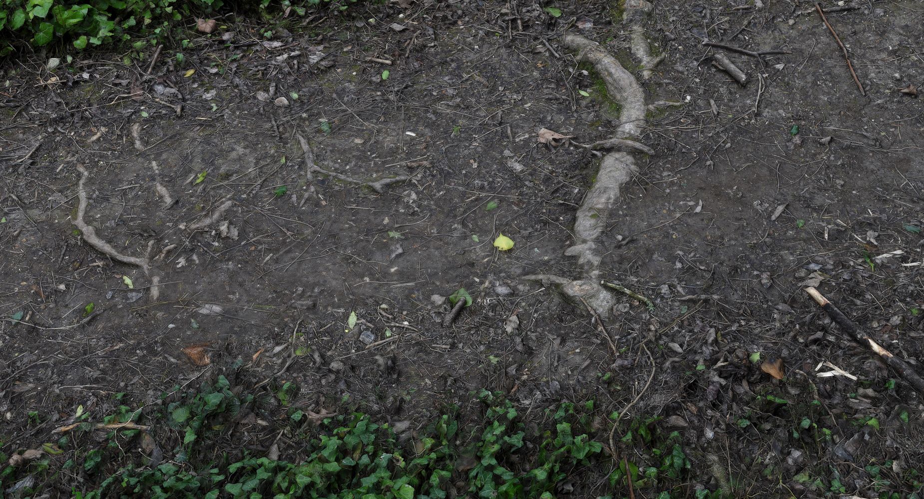
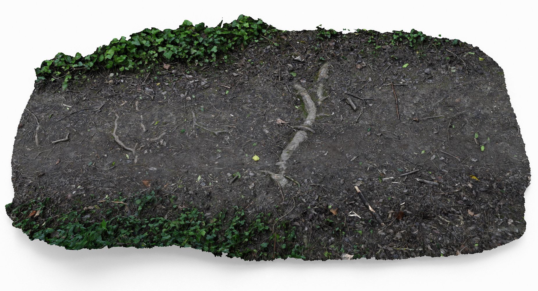
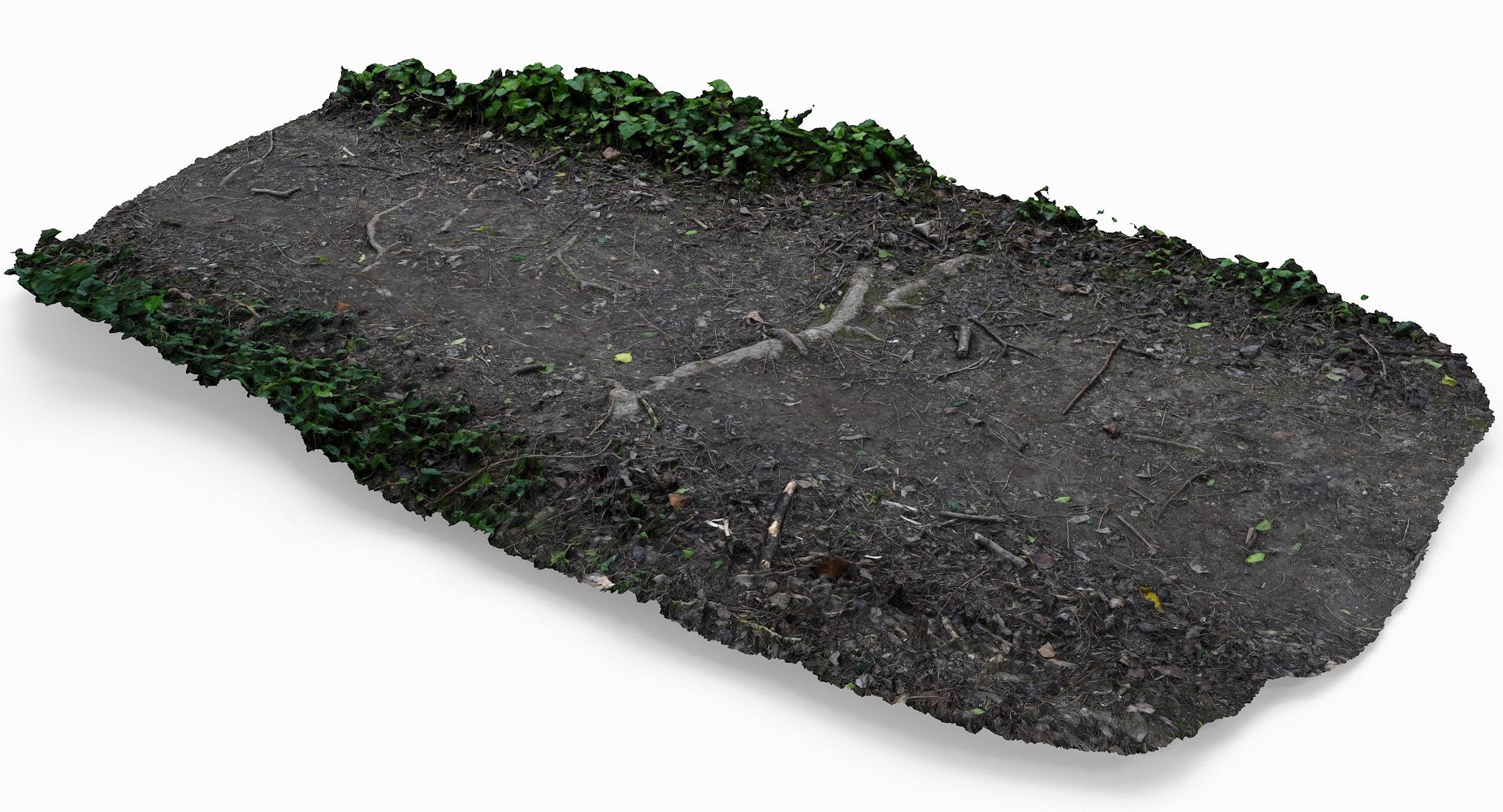
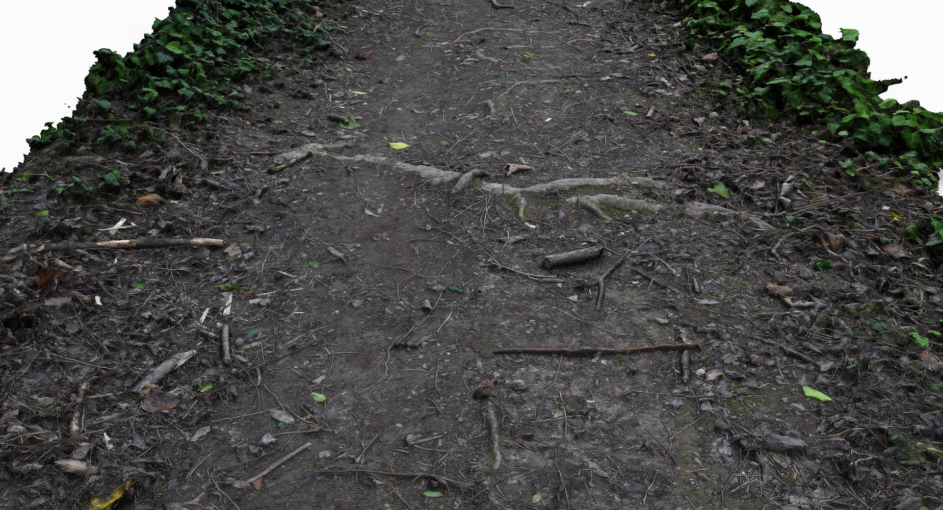
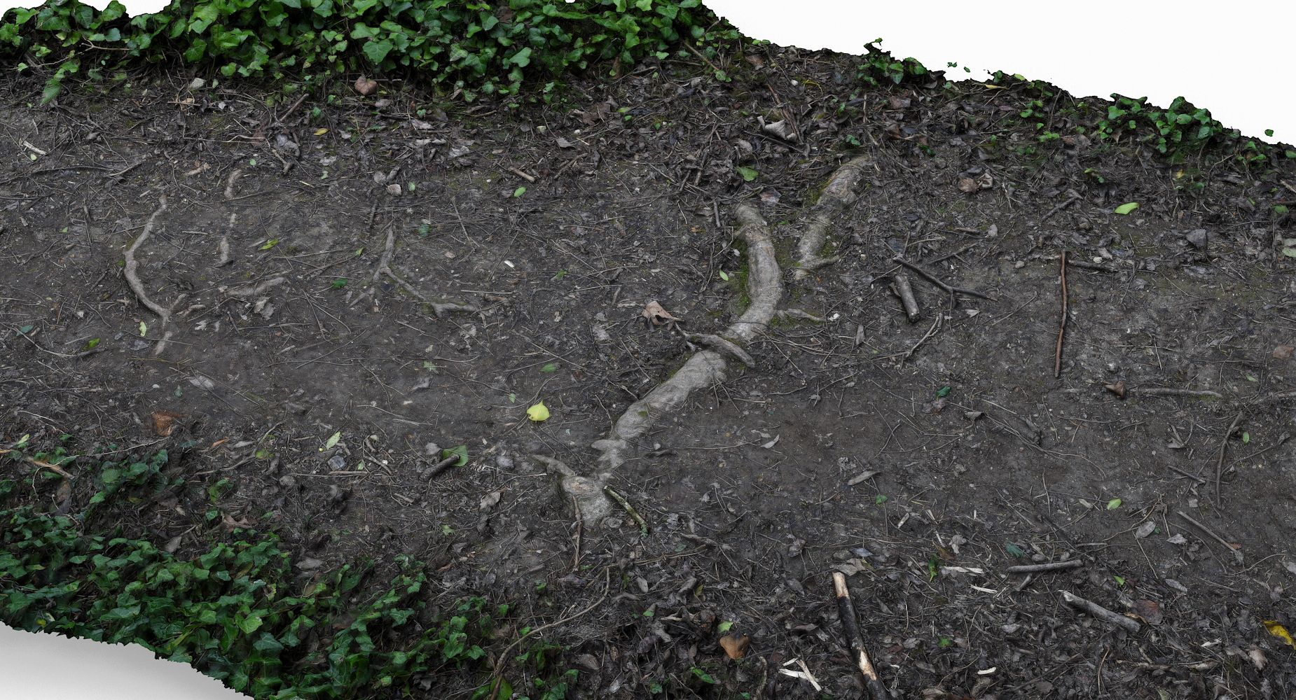
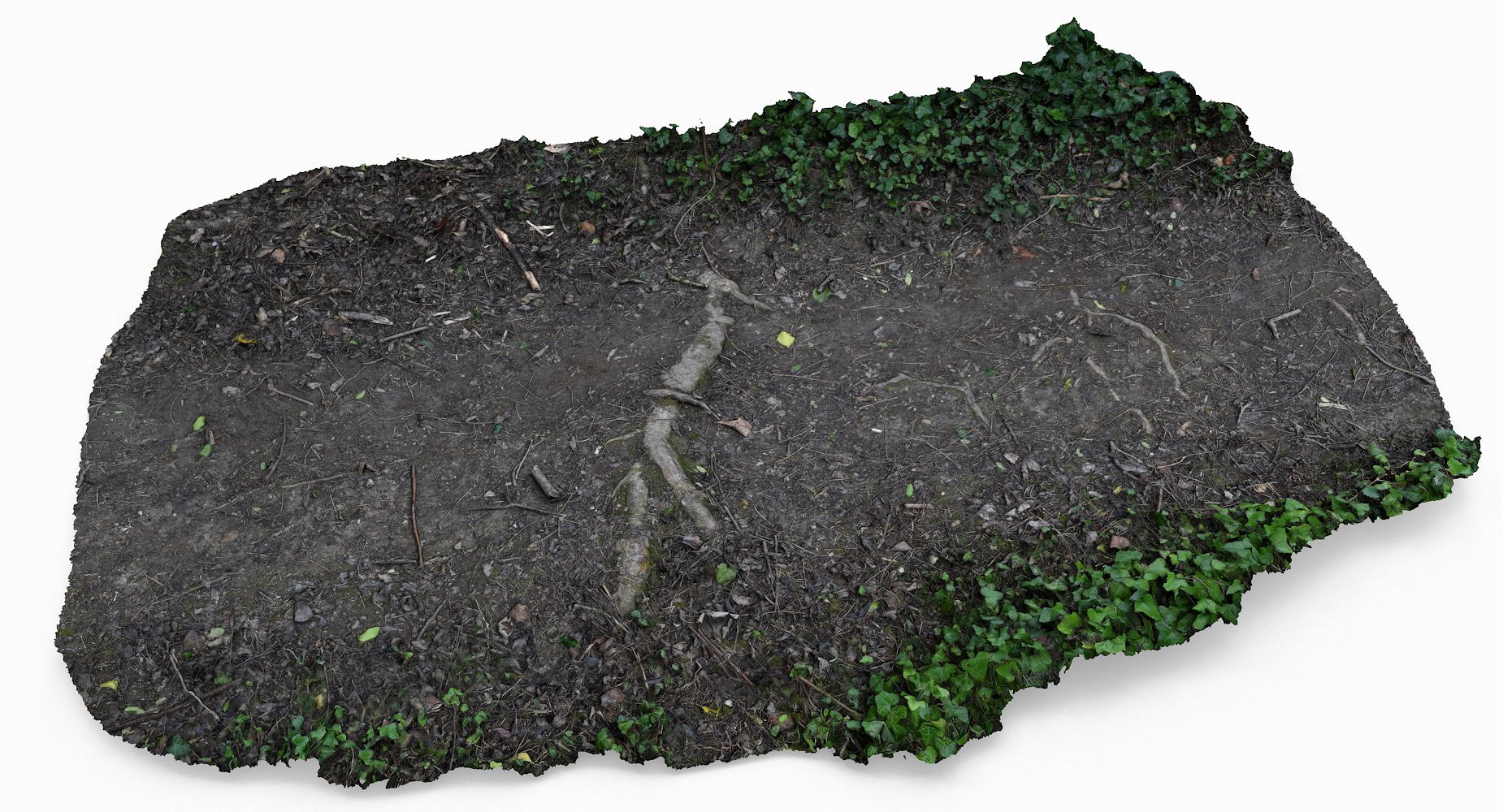
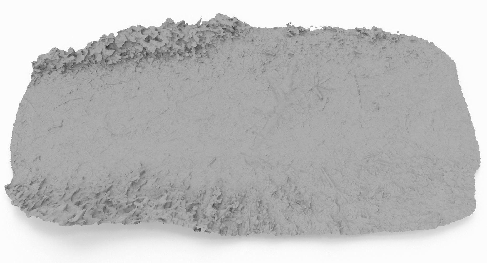
This is a model of a Ground Scan
Originally created with 3ds Max 2013 and Photoscan data
This model is suitable for use in broadcast, high-res film, advertising, design visualization, forensic presentation, etc
|| SPECS ||
This model contains 1 separate object
This model contains 1574406polygons with TurboSmooth OFF
This model contain 1574406tris, and 789659 verts
This model contains Standard material and V-Ray material
All preview images are rendered with V-Ray
|| TEXTURES ||
16384x16384 JPG - Diffuse Map
16384x16384 JPG - Bump Map
All textures are created from original photographs
Model measures 300cm in length
File formats other than 3ds Max exported as base mesh
Dec 01, 2019
Data dodania
Mar 21, 2022
Ostatnia aktualizacja
Recenzje
Obecnie nie ma recenzji tego produktu.
Dlaczego nie być pierwszym, który złamie lód?