


 3d model")


地面扫描02路径 3D模型
0

0
访问量
提交者
3dsam79
规格
- 几何polygonal_tris only
- 多边形1,574,406
- 顶点789,659
- 纹理Yes
- 索具化No
- 动画No
- 适合3D打印No
- 适合游戏(低多边形)No
- UV映射Yes
- 未封装UVnon-overlapping
描述
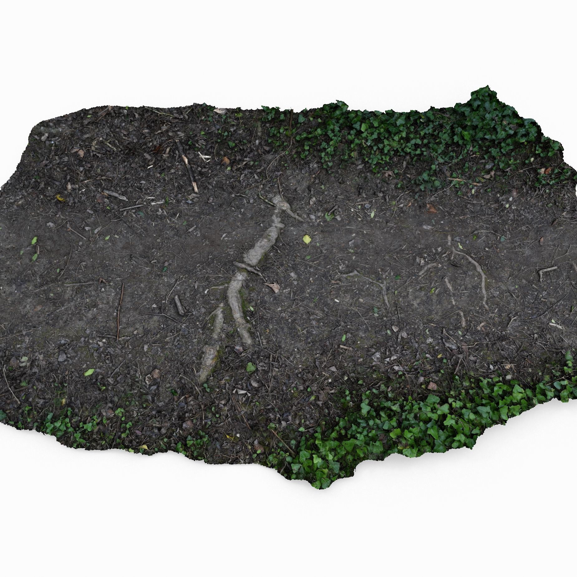
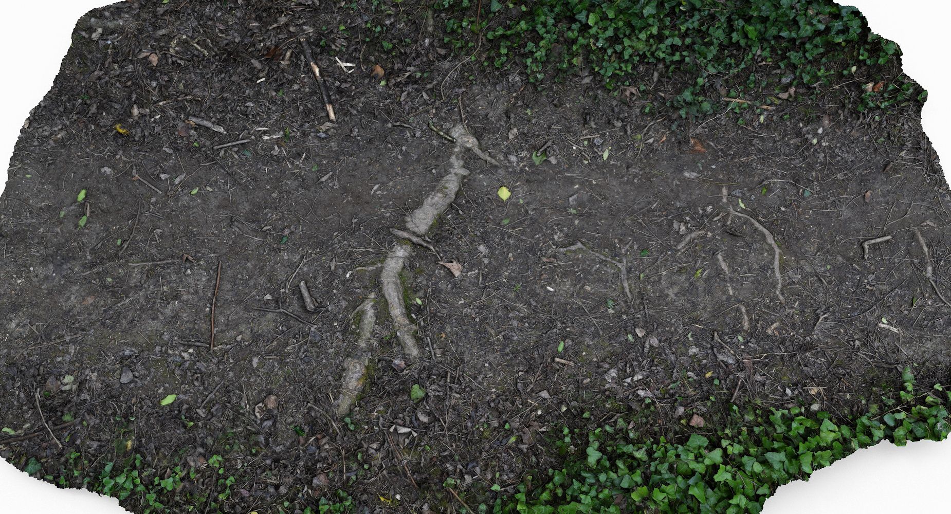
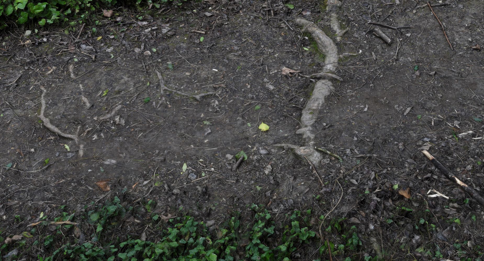
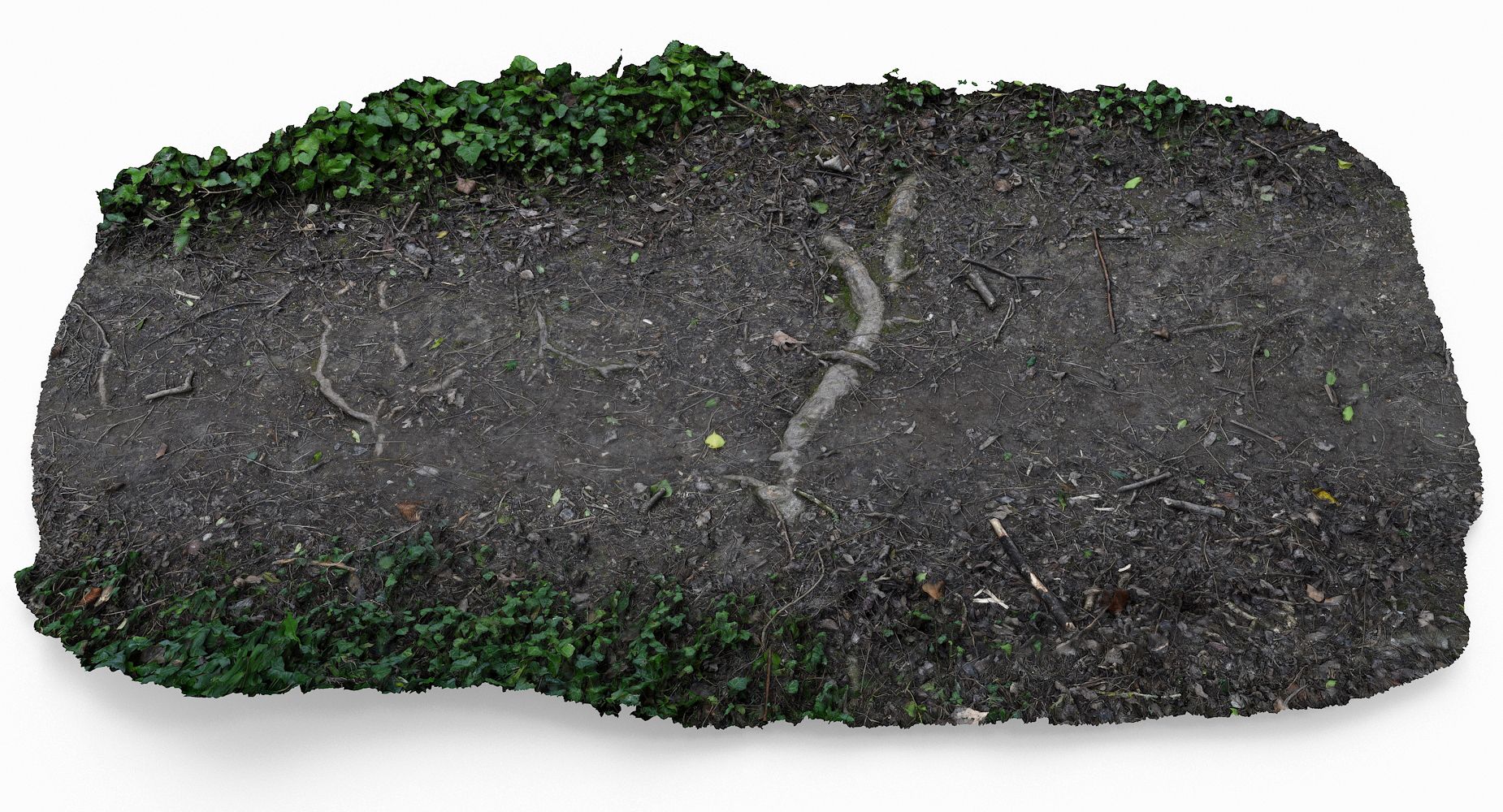
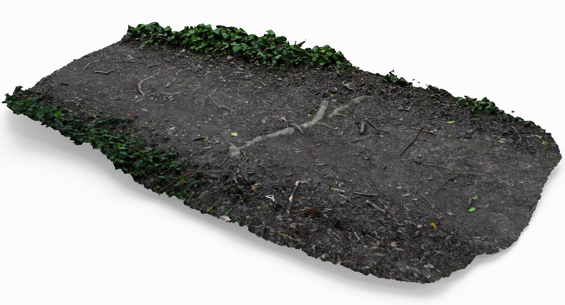
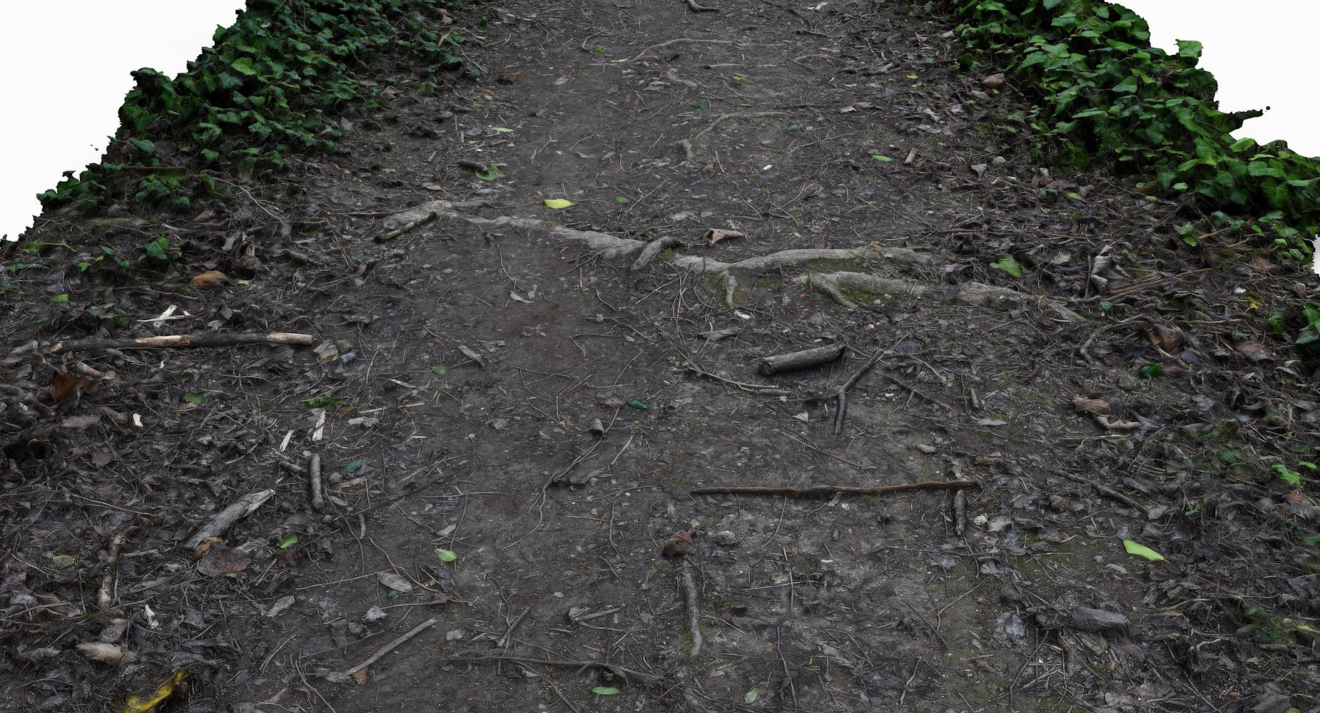
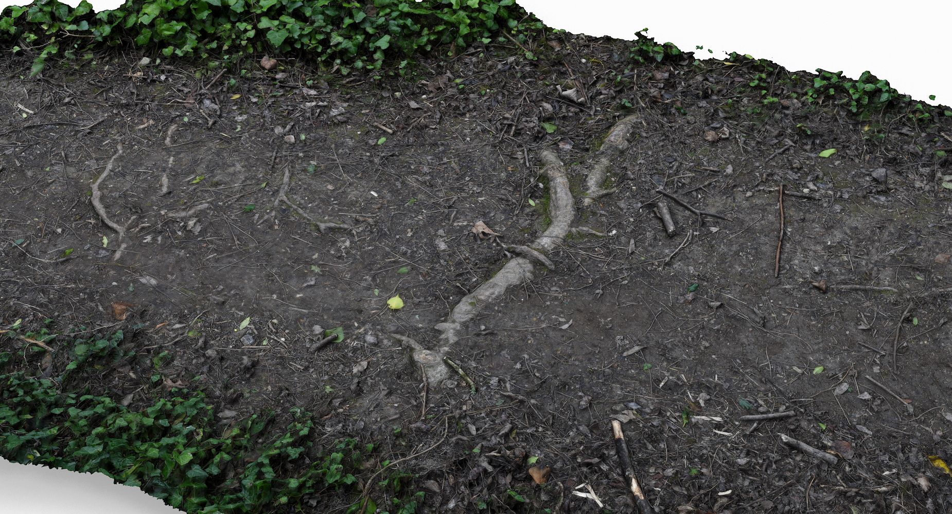
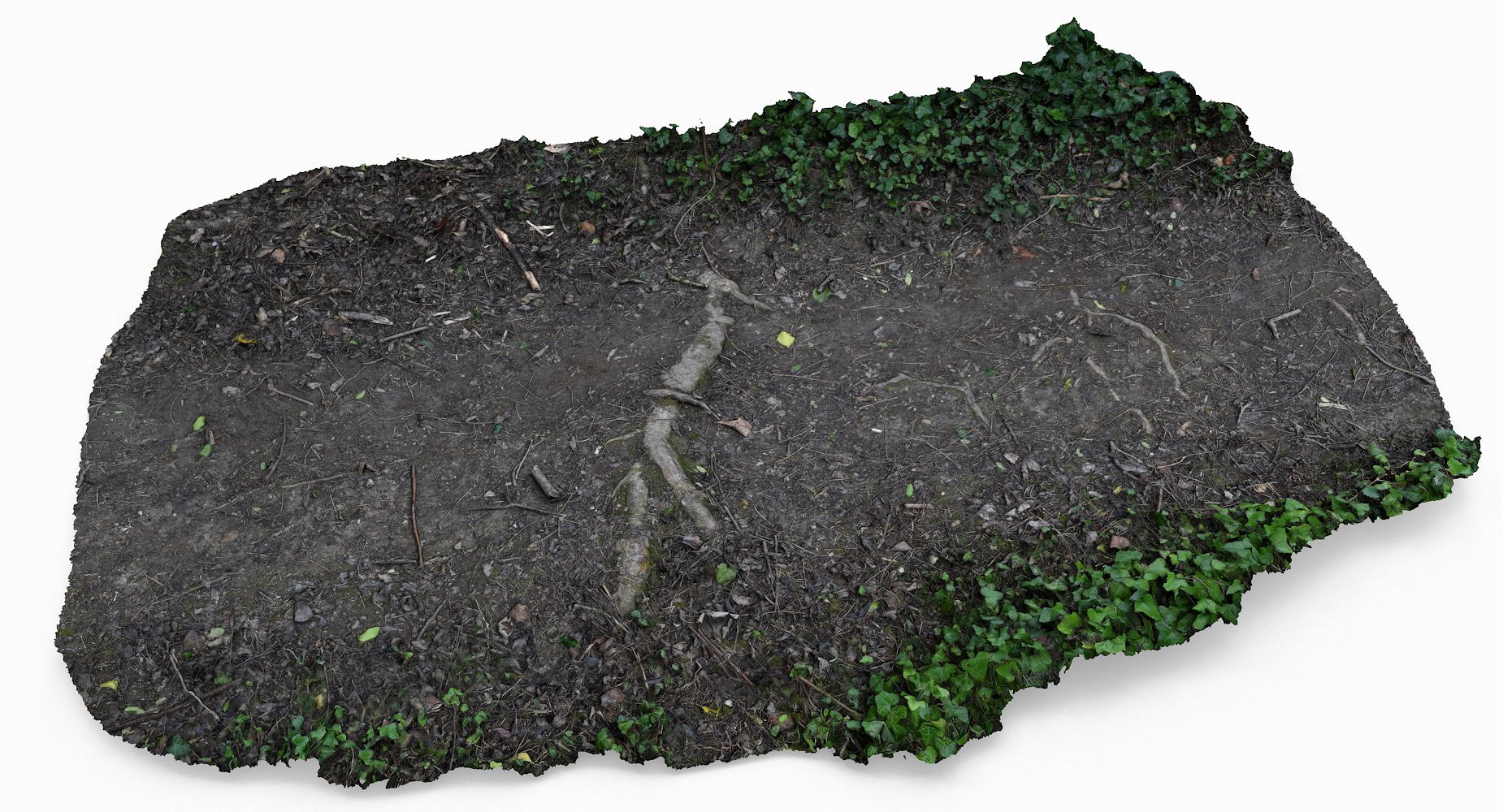
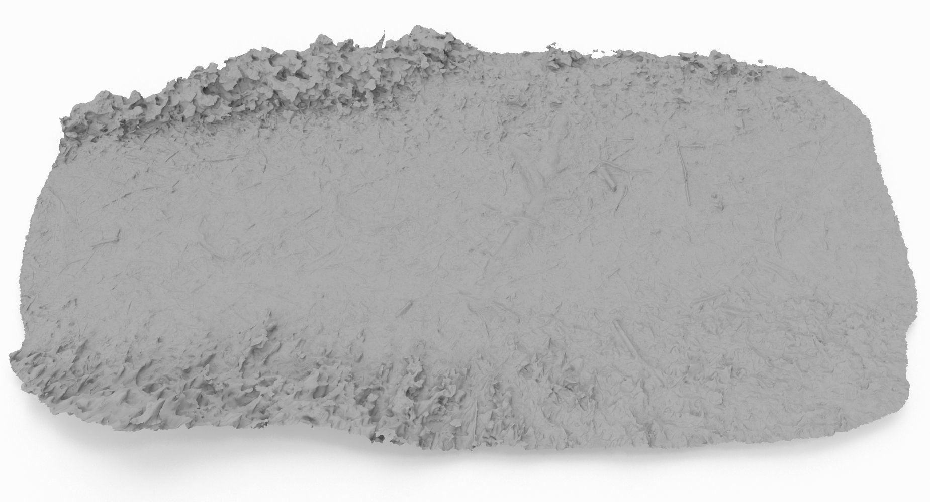
This is a model of a Ground Scan
Originally created with 3ds Max 2013 and Photoscan data
This model is suitable for use in broadcast, high-res film, advertising, design visualization, forensic presentation, etc
|| SPECS ||
This model contains 1 separate object
This model contains 1574406polygons with TurboSmooth OFF
This model contain 1574406tris, and 789659 verts
This model contains Standard material and V-Ray material
All preview images are rendered with V-Ray
|| TEXTURES ||
16384x16384 JPG - Diffuse Map
16384x16384 JPG - Bump Map
All textures are created from original photographs
Model measures 300cm in length
File formats other than 3ds Max exported as base mesh
Dec 01, 2019
添加日期
Mar 21, 2022
最后更新
评测
此产品当前没有评测。
为什么不做第一个评测者呢?