




地面扫描01 3D模型
0


0
访问量

提交者
3dsam79
规格
- 几何polygonal_tris only
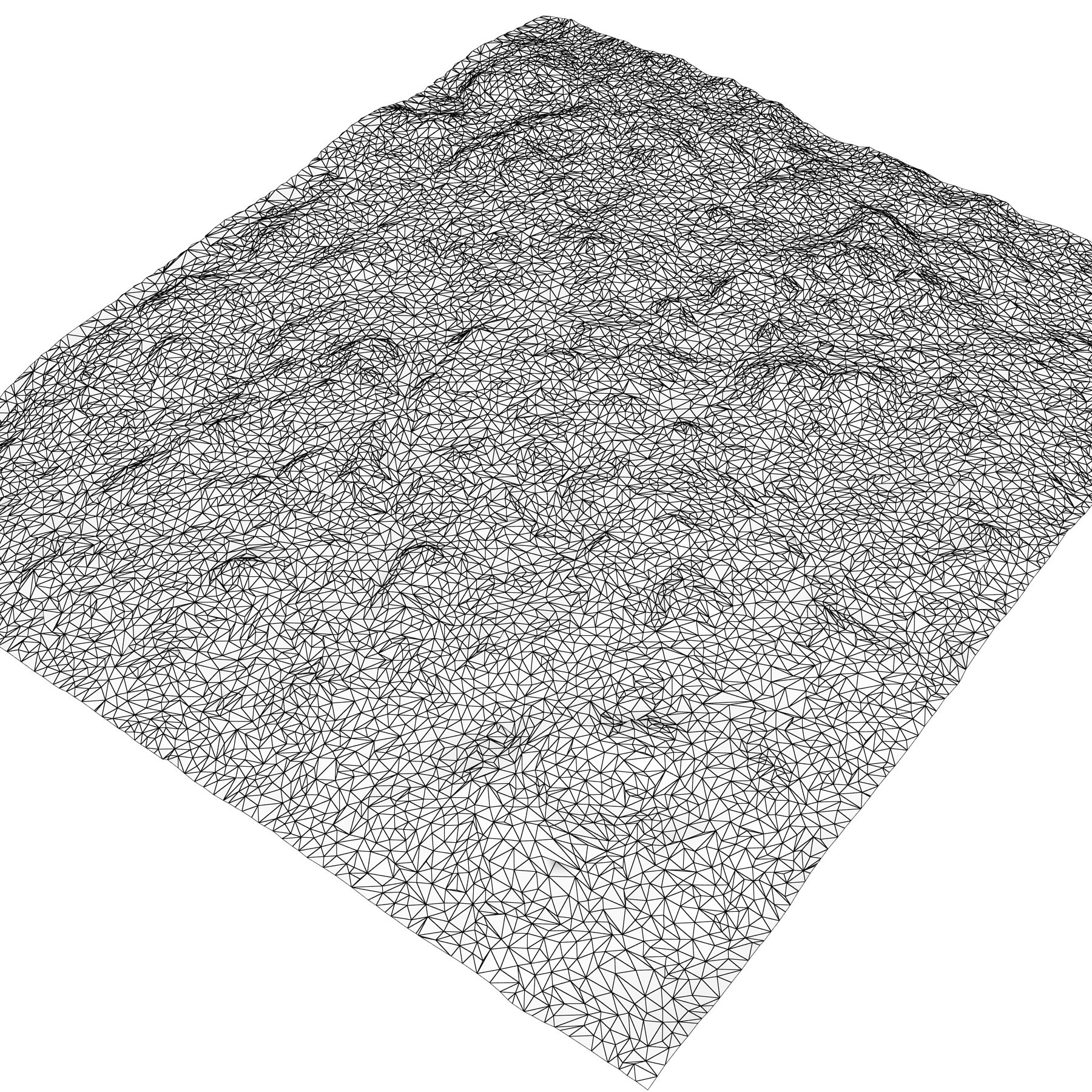
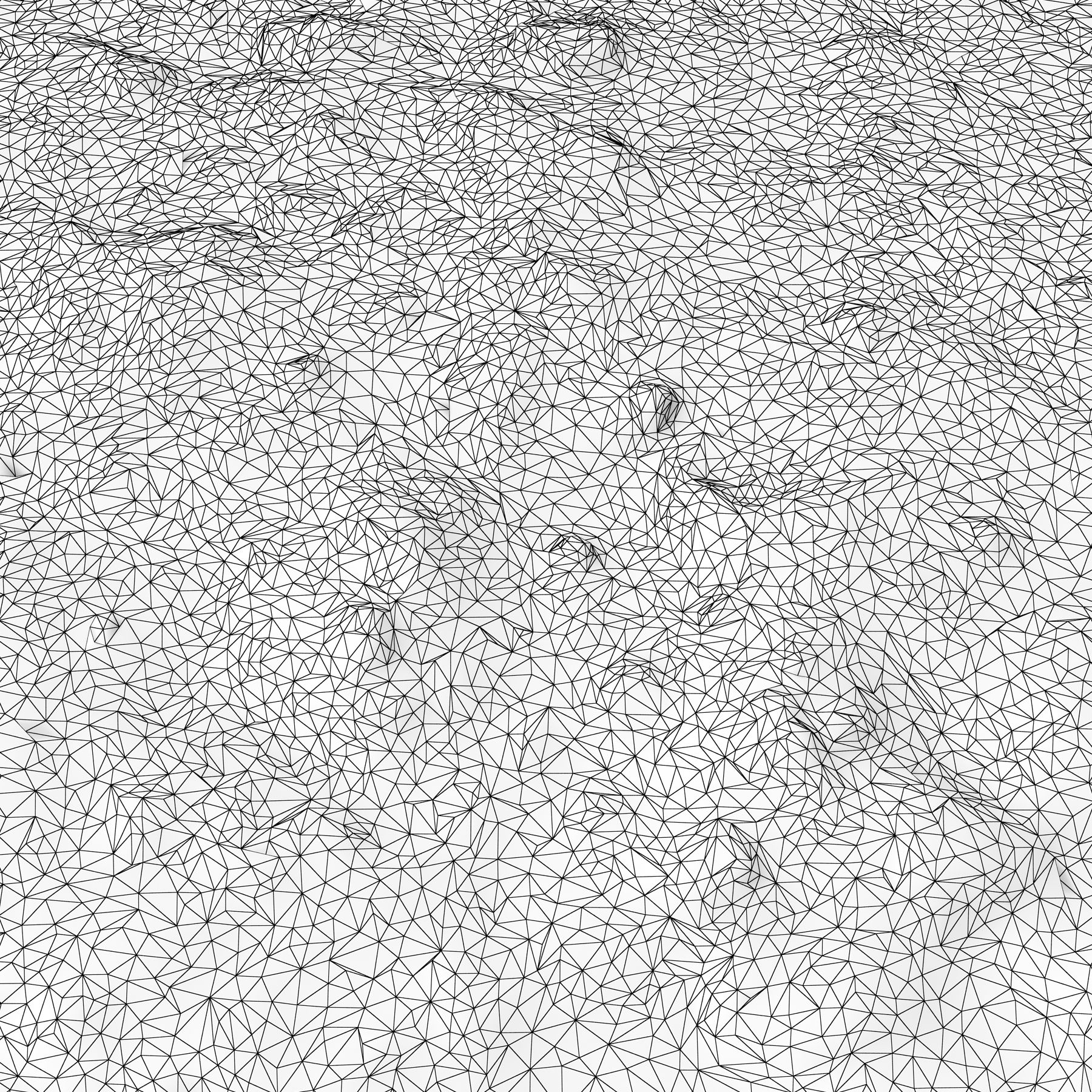
- 多边形24,145
- 顶点12,373
- 纹理Yes
- 索具化No
- 动画No
- 适合3D打印No
- 适合游戏(低多边形)No
- UV映射Yes
- 未封装UVnon-overlapping
描述
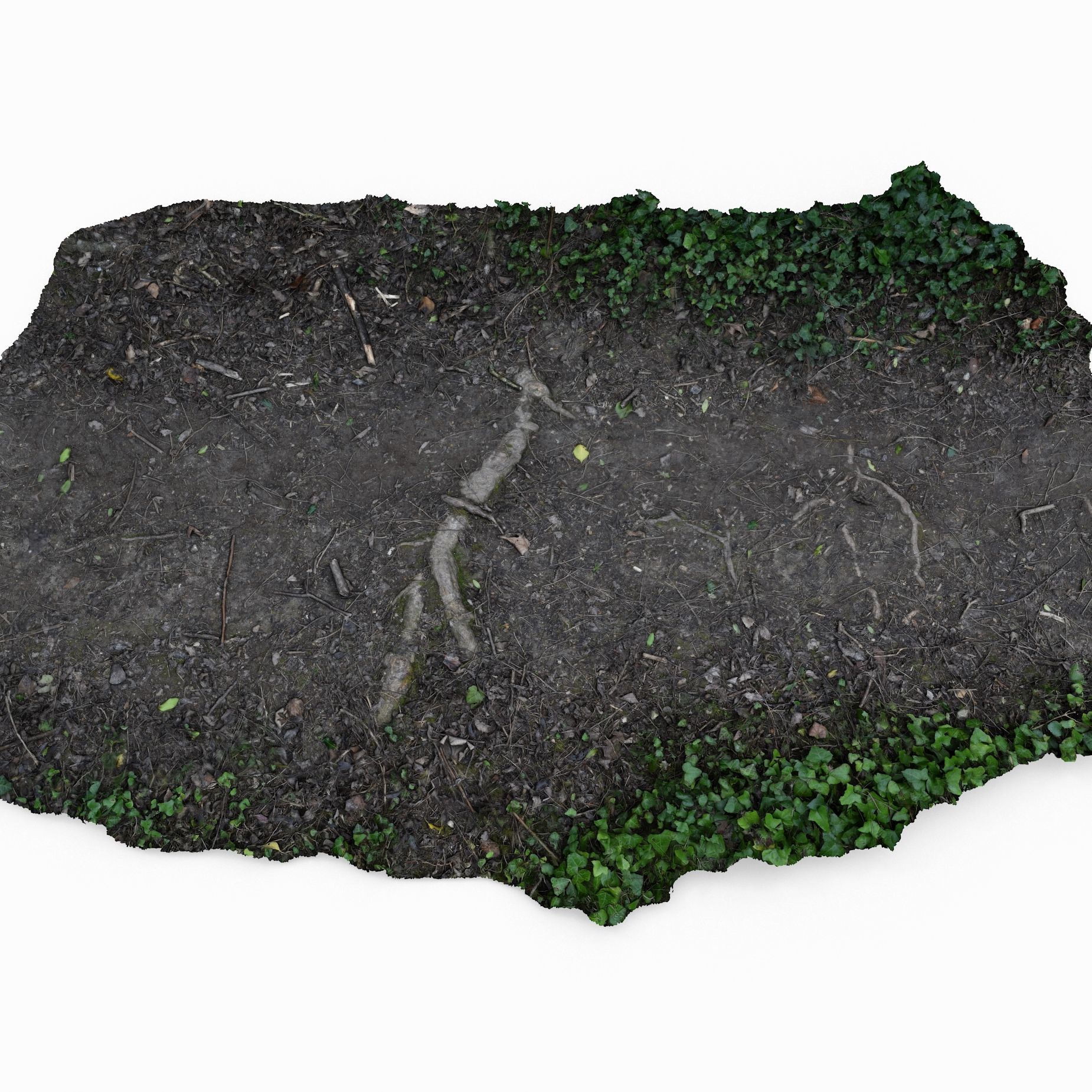
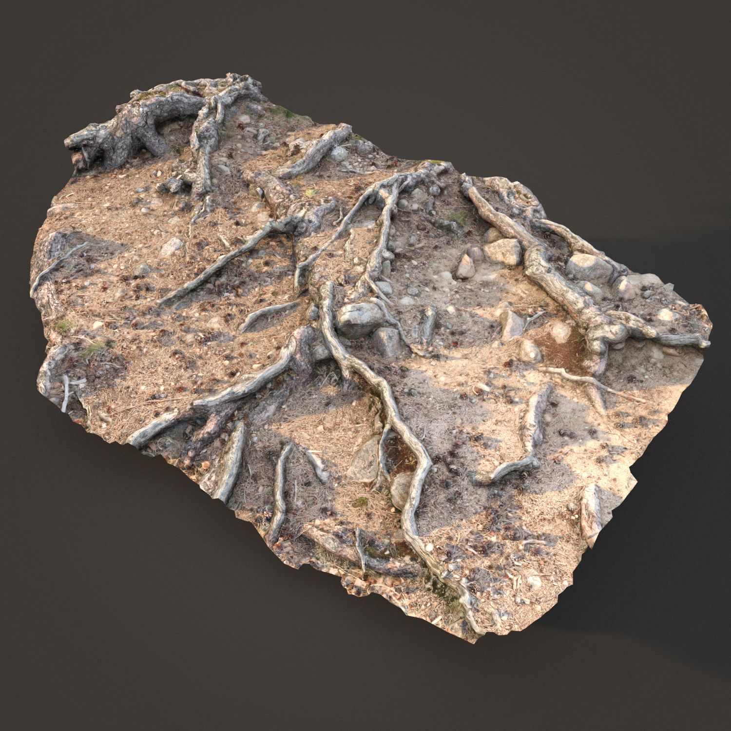
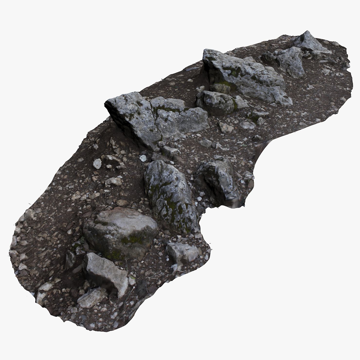
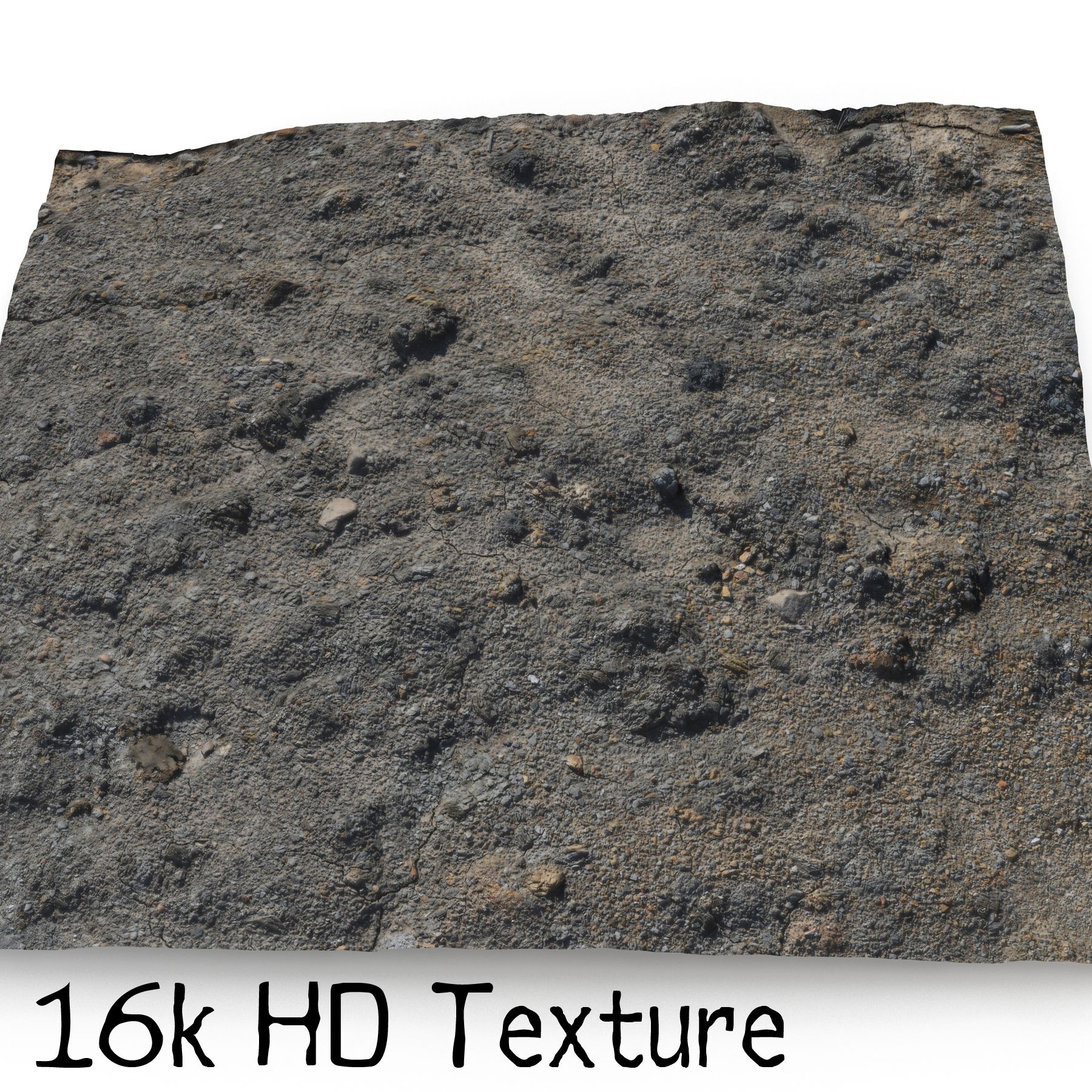
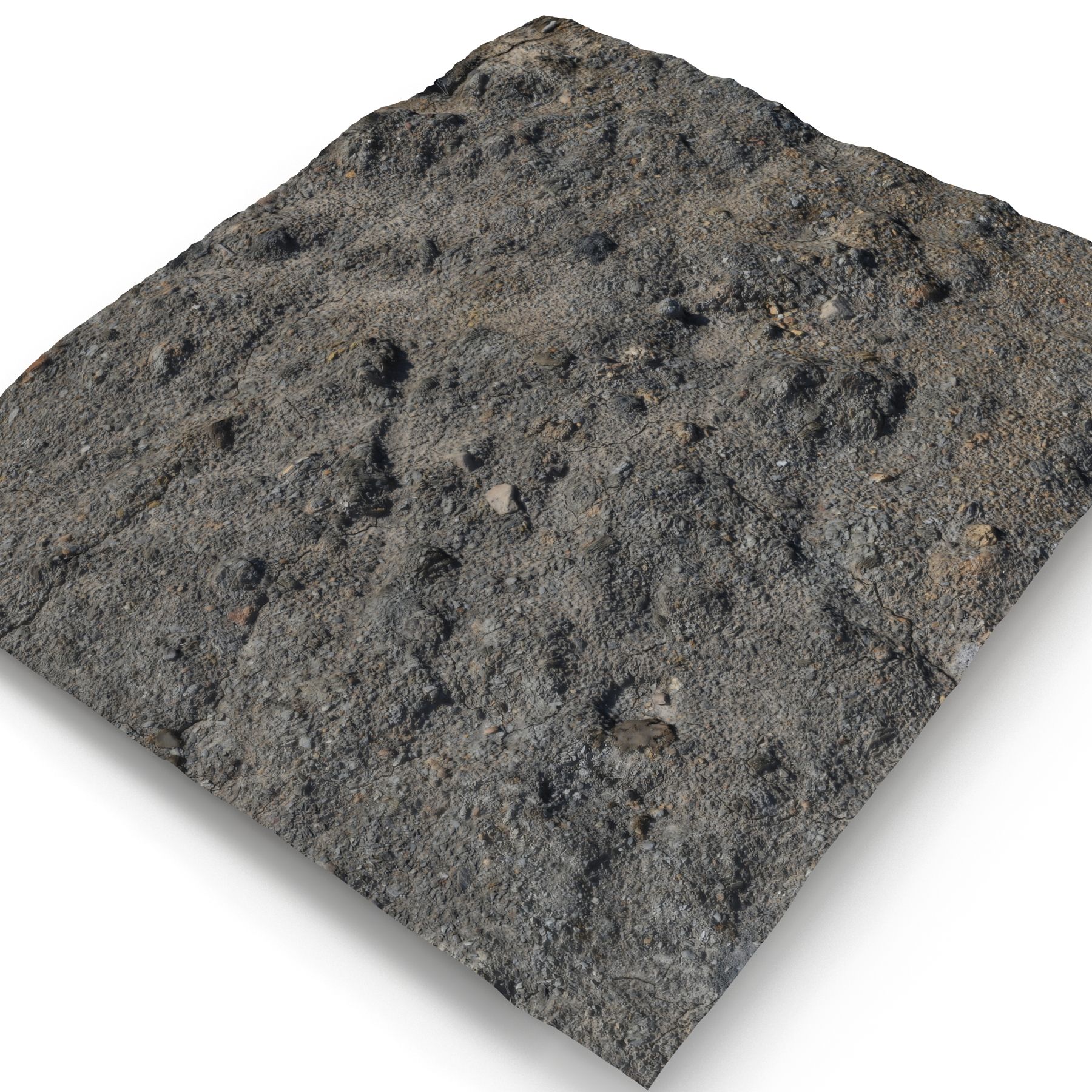
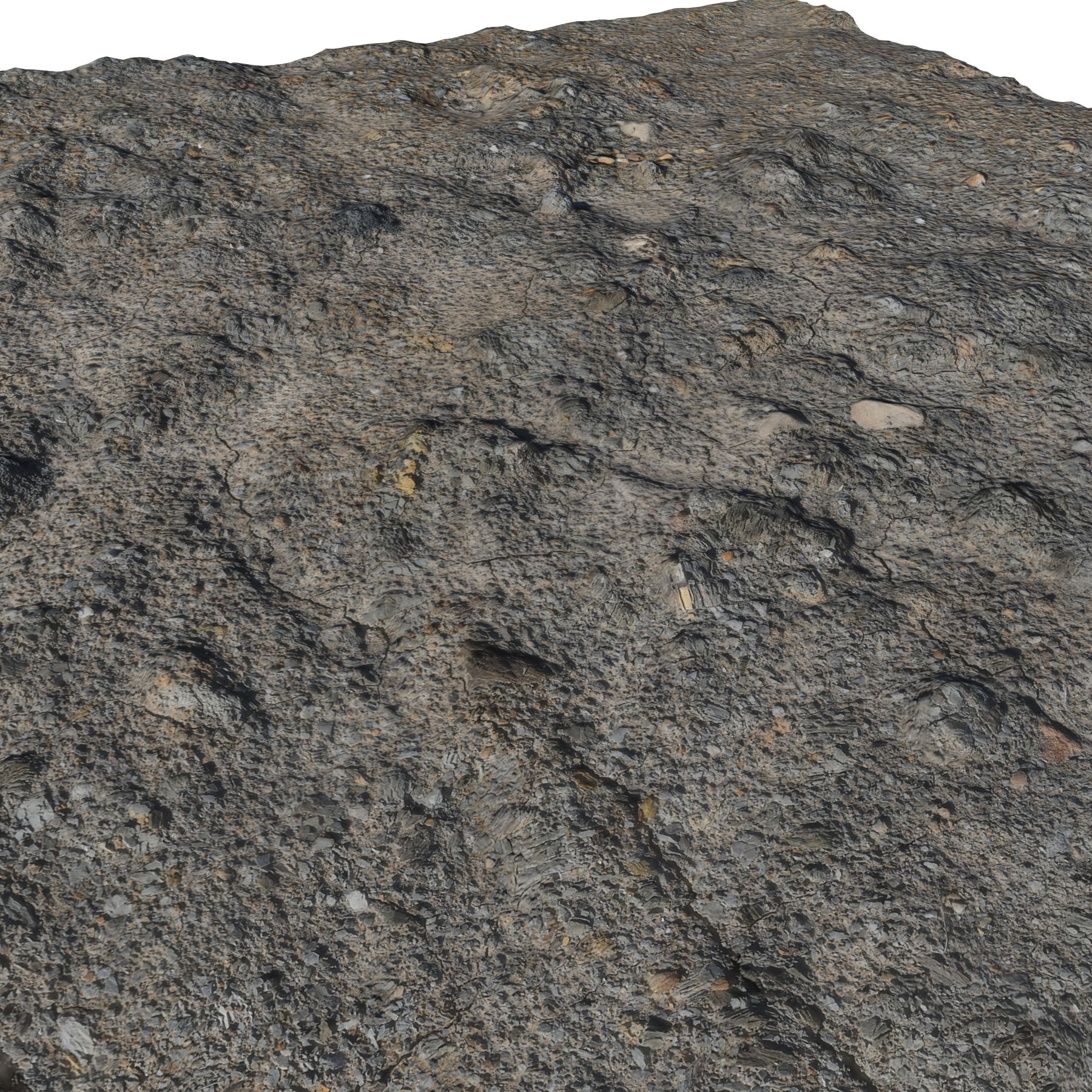
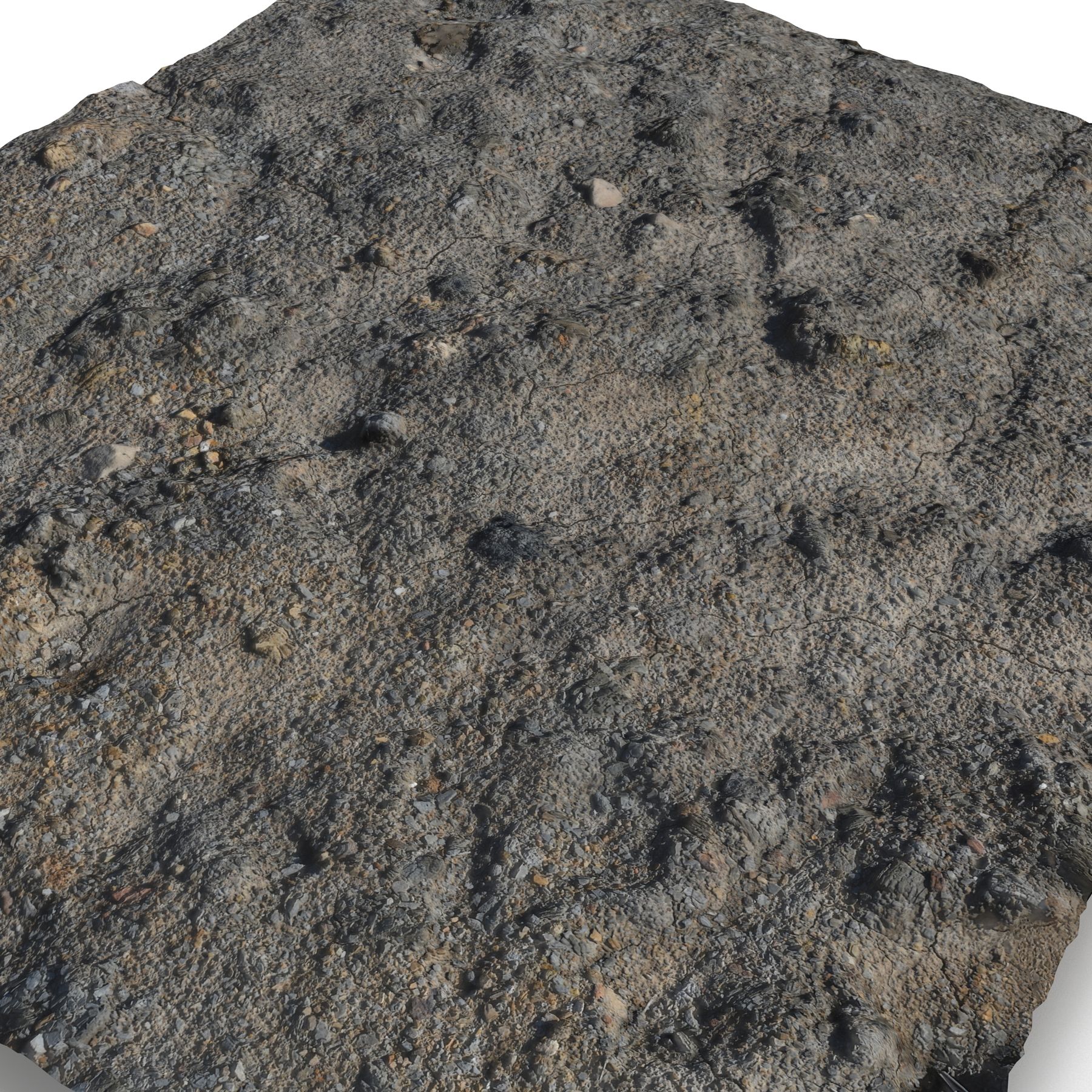
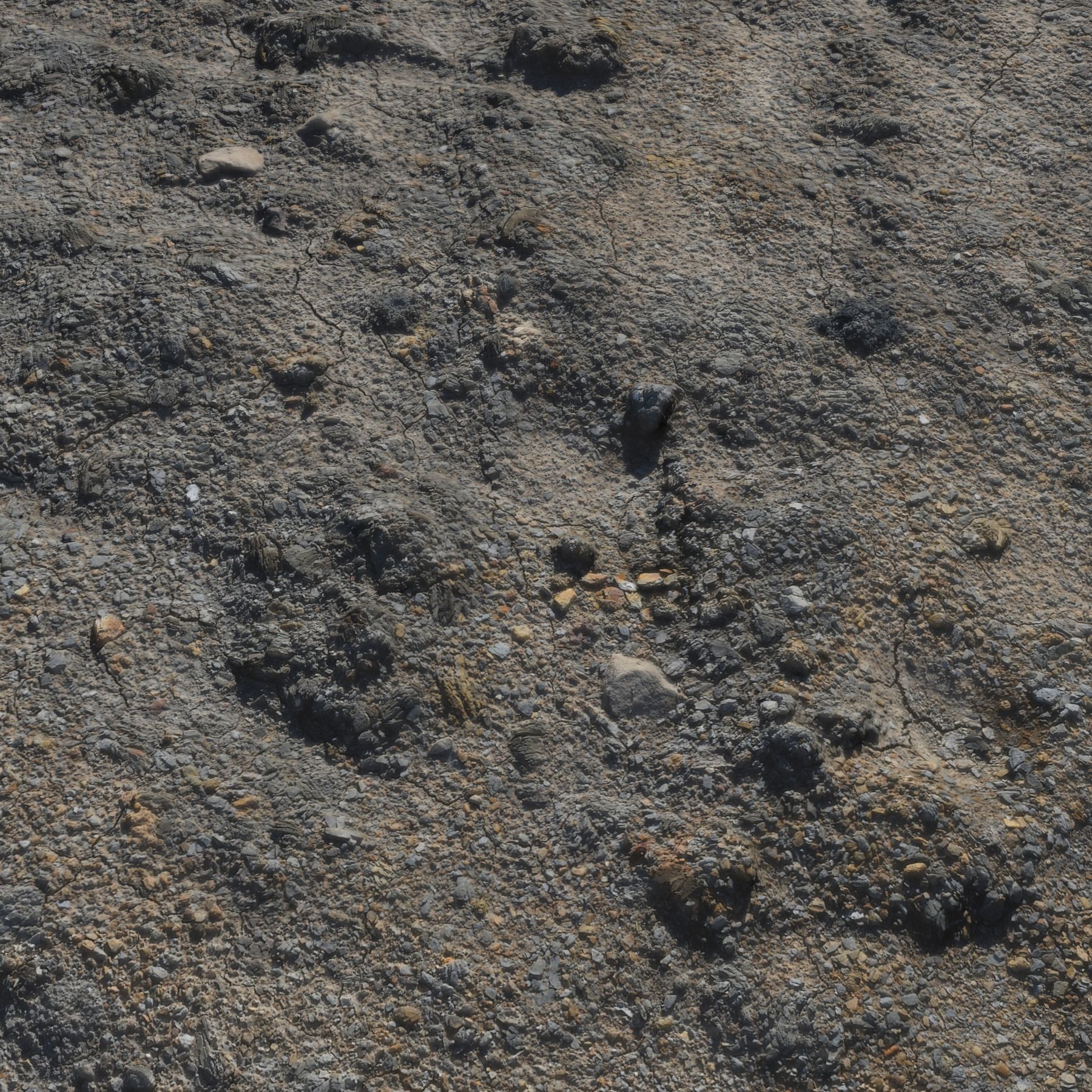
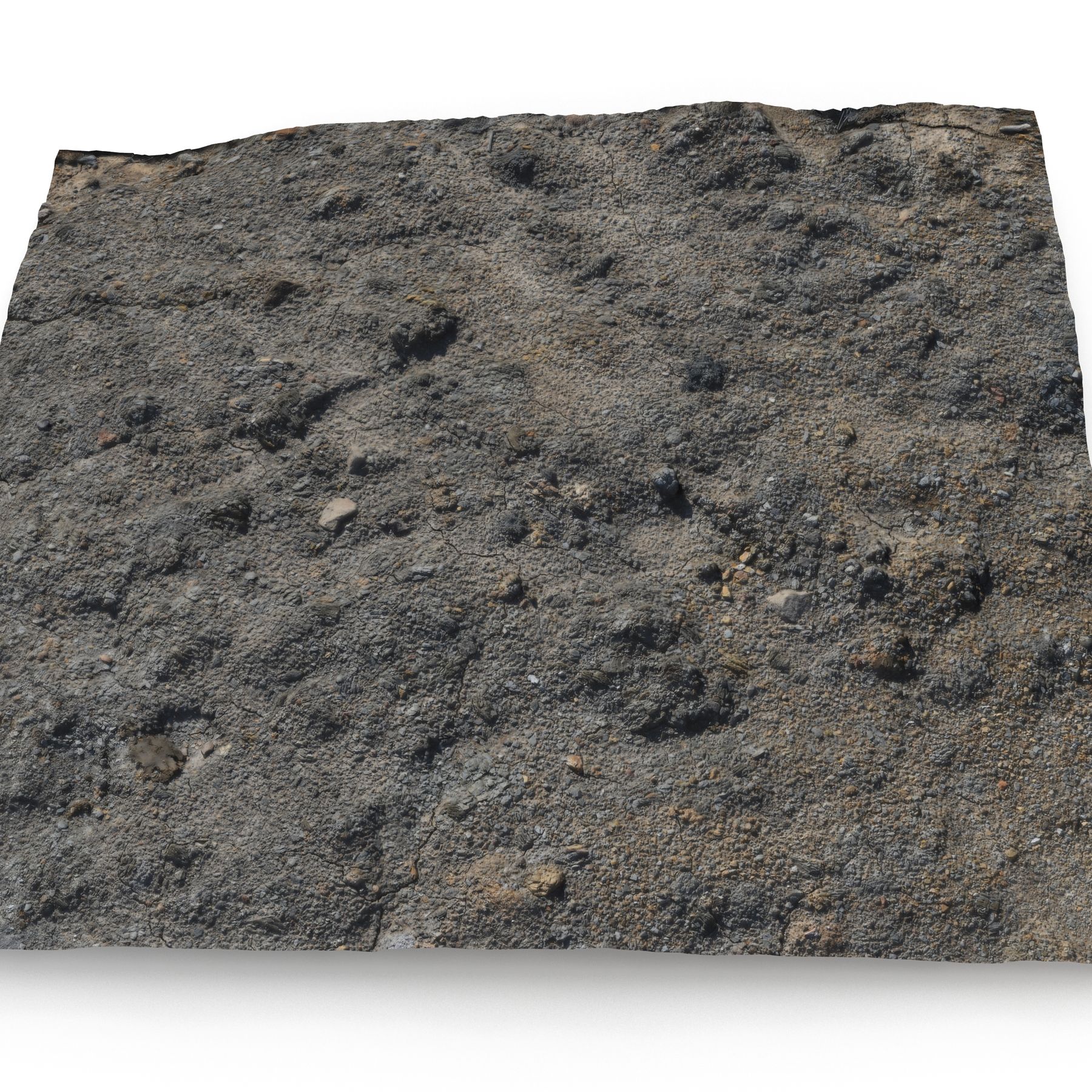
This is a model of a Ground Scan
Originally created with 3ds Max 2012 and Photoscan data
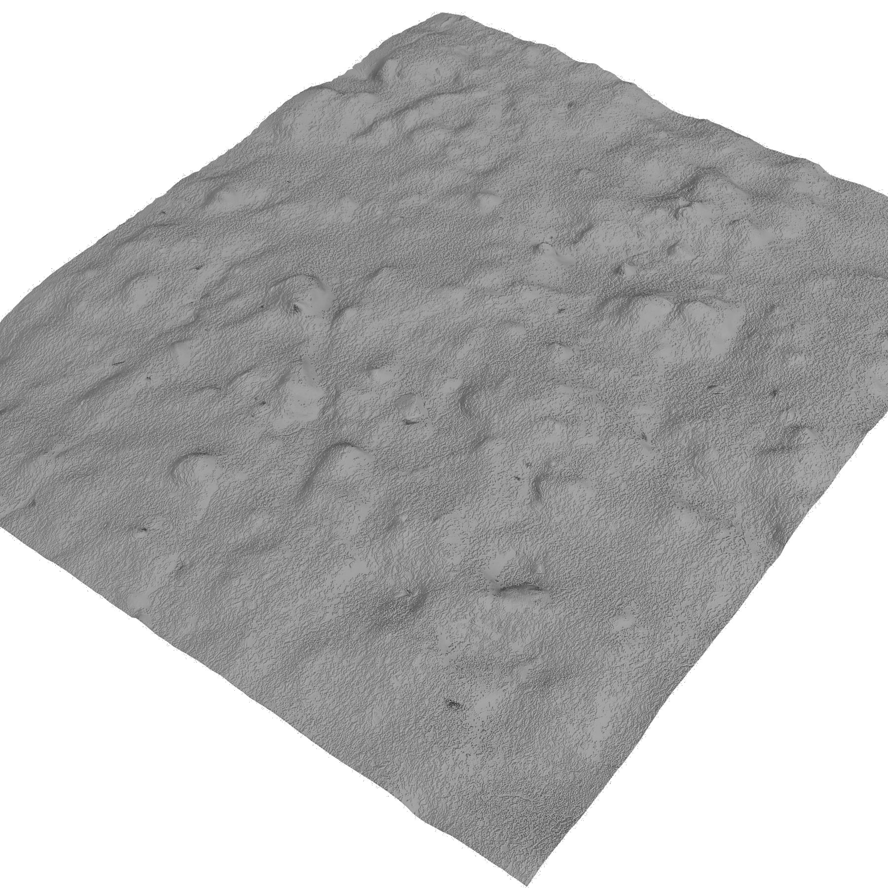
Normals Map baked from high poly mesh, high poly mesh (500000 tris) included as a customer only additional download
This model was designed for use as a real-time asset
The high poly version is suitable for use in broadcast, high-res film close-ups, advertising, design visualization, forensic presentation, etc
|| SPECS ||
This model contains 1 separate object
This model contains 24145 polygons with TurboSmooth OFF
This model contain 24145 tris, and 12373 verts
This model contains Standard material and V-Ray material
All preview images are rendered with V-Ray
|| TEXTURES ||
16384x16384 JPG - Diffuse Map
4096x4096 JPG - Normals Map
16384x16384 JPG - Bump Map
All textures are created from original photographs
Model is built to real-world scale
Units used: Centimeters. Model is 100x83cm
Scene objects are organized by layers
File formats other than 3ds Max exported as base mesh
Dec 01, 2019
添加日期
Nov 26, 2022
最后更新
评测
此产品当前没有评测。
为什么不做第一个评测者呢?