


Mount Everest nauwkeurige topologie 3d model


bestek
- Geometriepolygonal_quads/tris
- polygonen161,600
- hoekpunten162,401
- texturesNo
- opgetuigdNo
- AnimatedNo
- Geschikt voor 3D-afdrukNo
- Game Ready (laag poly)No
- UV-gemappedYes
- Onverpakte UV'snone
Omschrijving
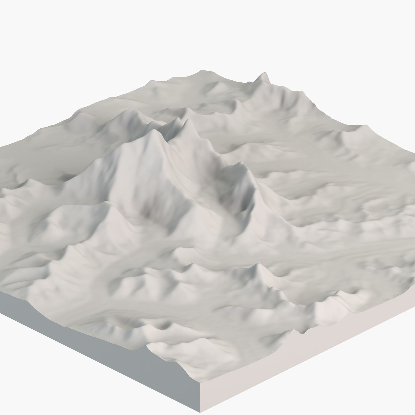
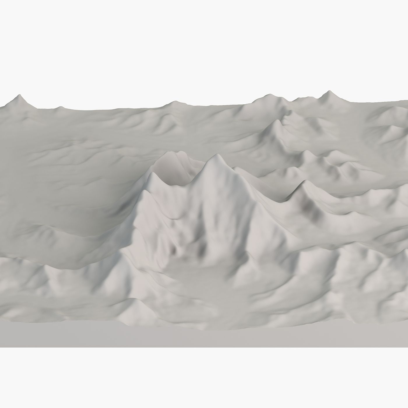
Accurate Mount Everest 3D Landscape Model - Captured with NASA Satellite Data
Mount Everest is Earth's highest mountain. This is accurate 3D model, that focuses on topography, elevation without any color maps. It could serve as a base, if you want to texture it.
Pack contents
• High-poly and low-poly versions of the model to suit your project needs.
• Height map based on NASA digital elevation data.
Geometry
• Polygons with 4 sides: 100%, Ngons or triangles: 0
• Clean topology.
• High-poly and low-poly versions of the model to suit your project needs.
Scene management
• Objects are logically named (following naming conventions) for ease of scene management.
• Scene is properly organized, layered. Gizmos are in correct position and asset is centered.
• The model is designed to be accurate. Real world dimensions are 24x24 km (14.912x14.912 miles).
• Models transforms were reset.
File formats
• 3ds Max
• 3DS • FBX
• OBJ
The model has been tested and verified to open across a variety of software platforms, including 3Ds Max, Maya, C4D, and more.
About us
Since 2014 we have been delivering high-quality 3D models for professional projects to clients worldwide.
Our models are created to meet high industry standards, ensuring quality and time savings for our customers.
beoordelingen
Er zijn momenteel geen beoordelingen voor dit product.
Waarom niet de eerste zijn om het ijs te breken?