

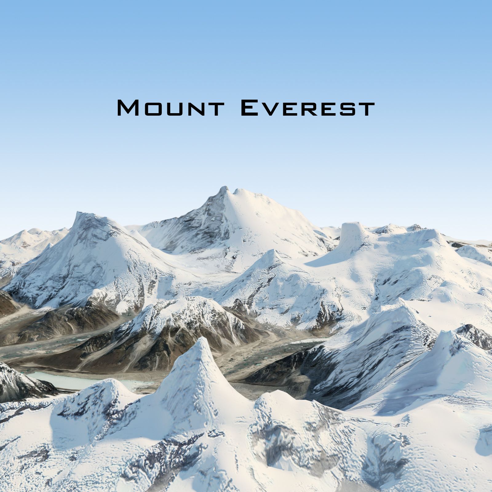

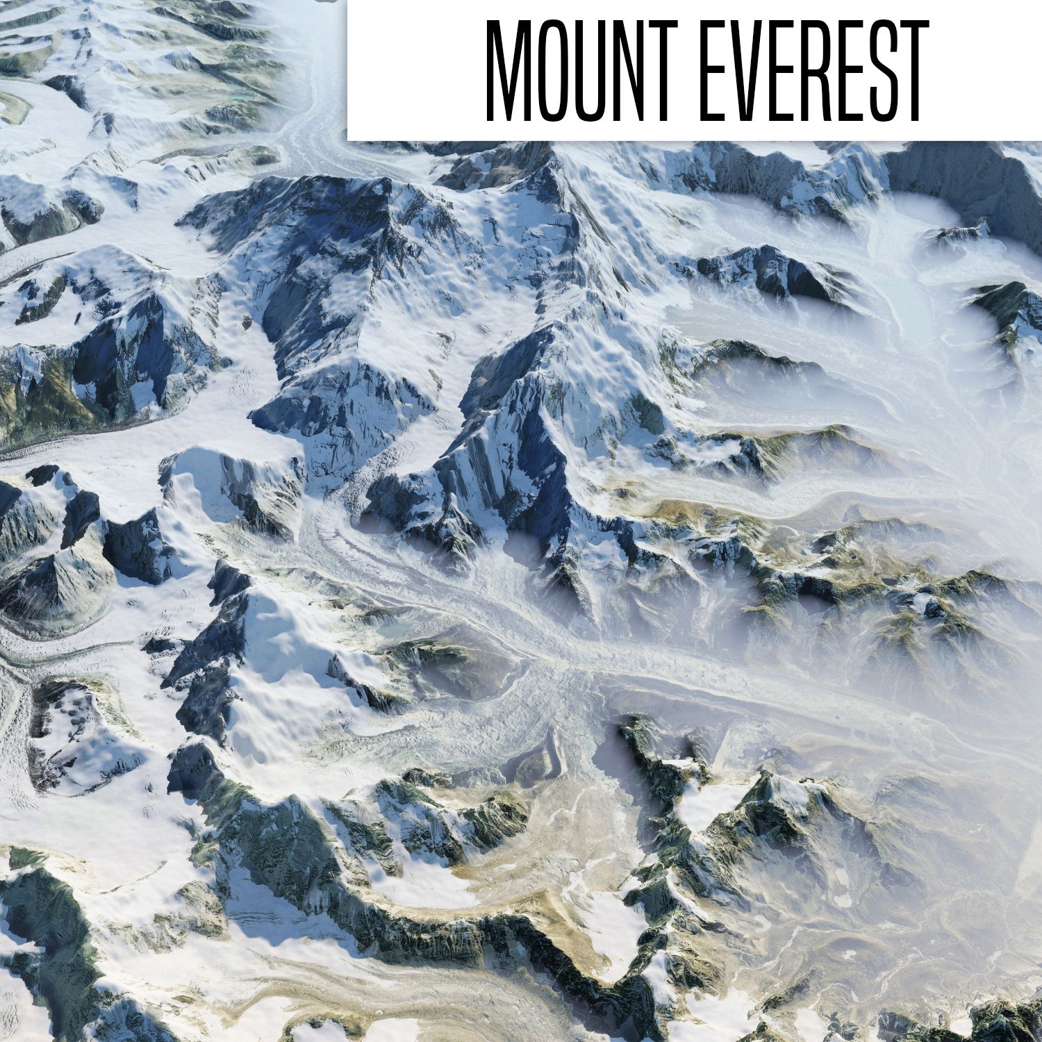

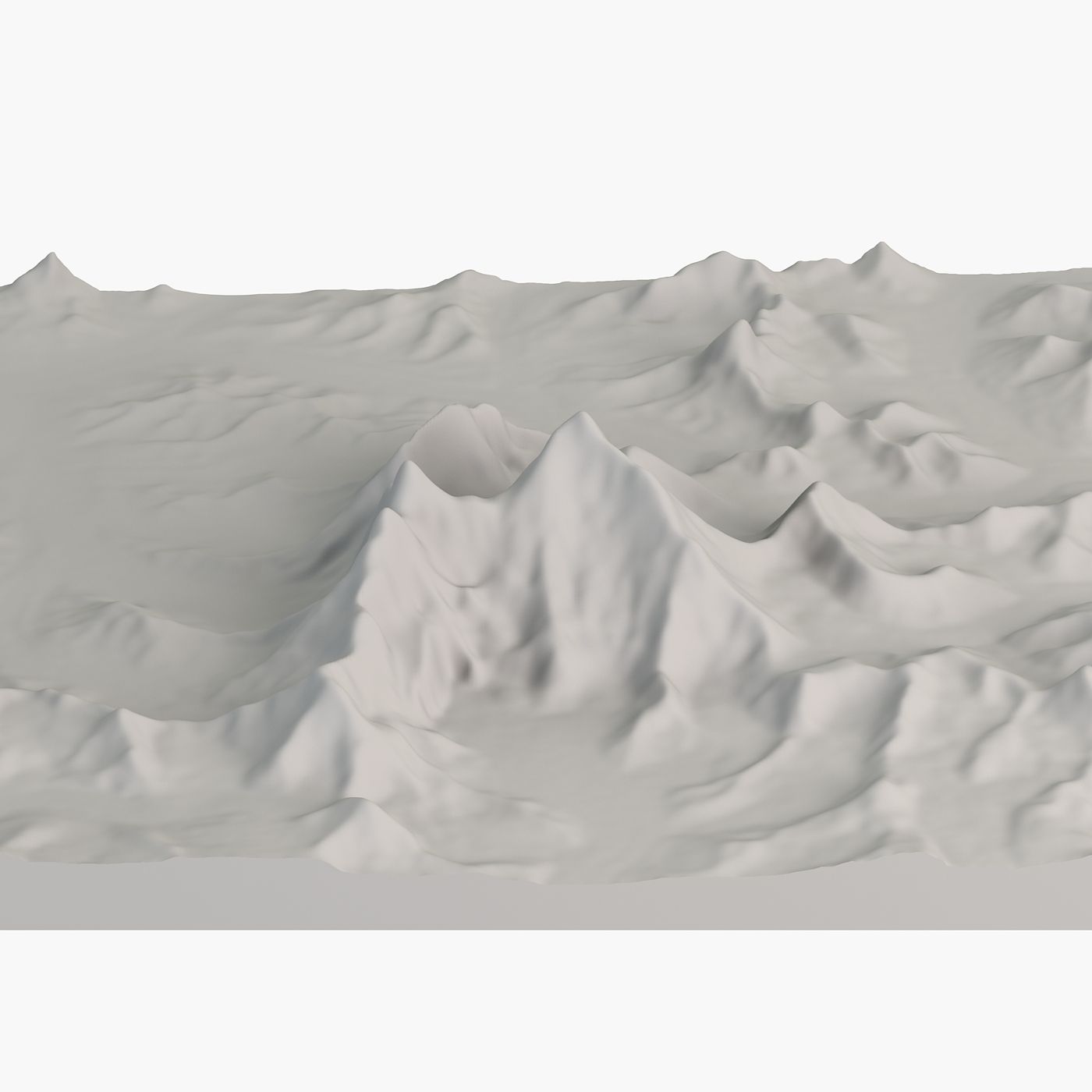
珠穆朗玛峰精确拓扑图 3D模型





规格
- 几何polygonal_quads/tris
- 多边形161,600
- 顶点162,401
- 纹理No
- 索具化No
- 动画No
- 适合3D打印No
- 适合游戏(低多边形)No
- UV映射Yes
- 未封装UVnone
描述
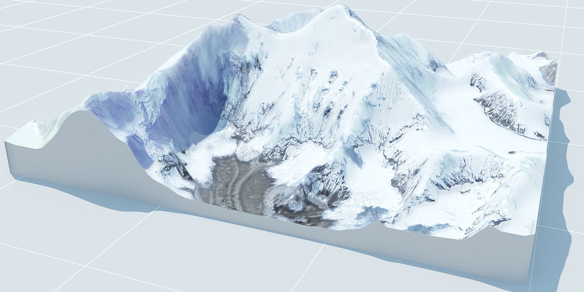
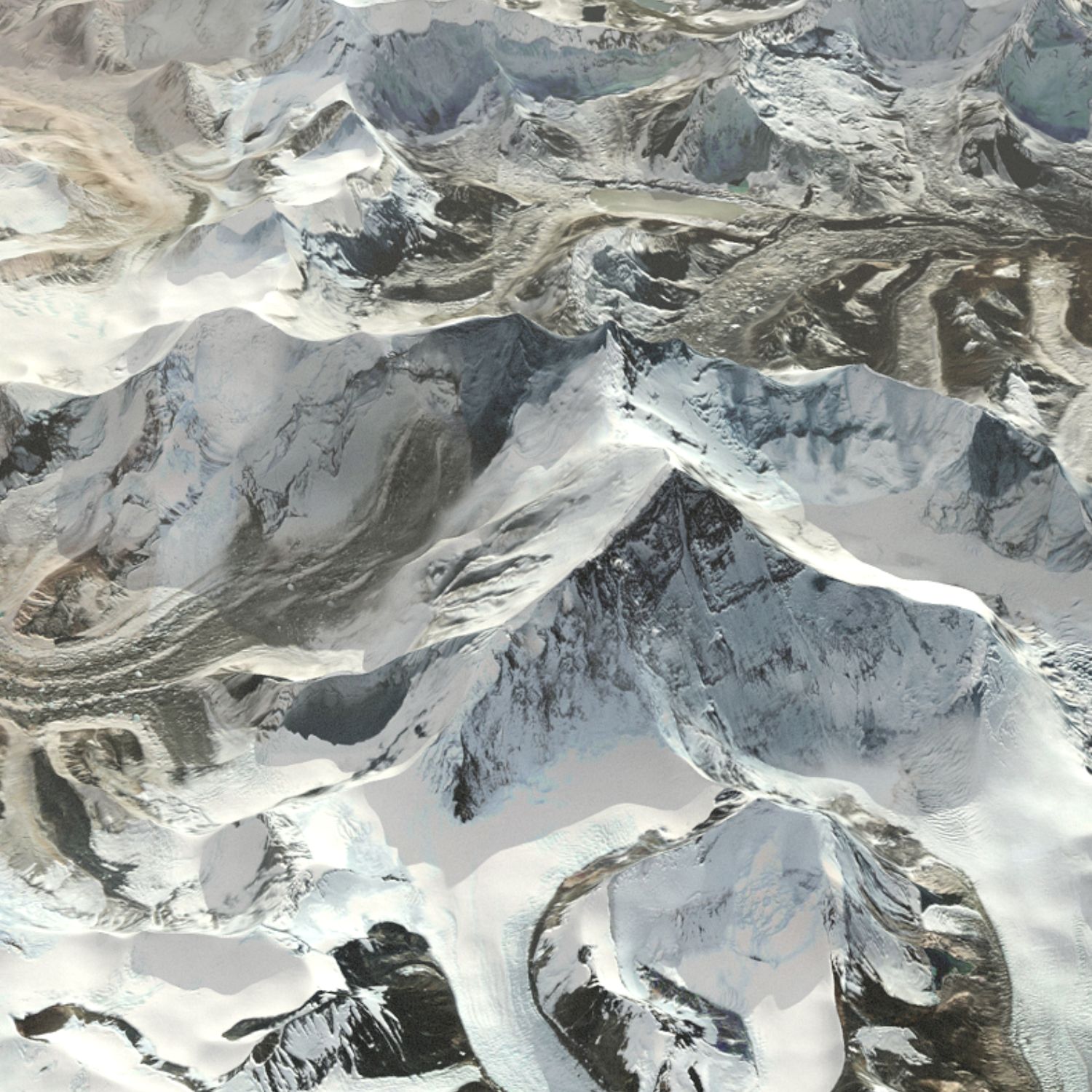
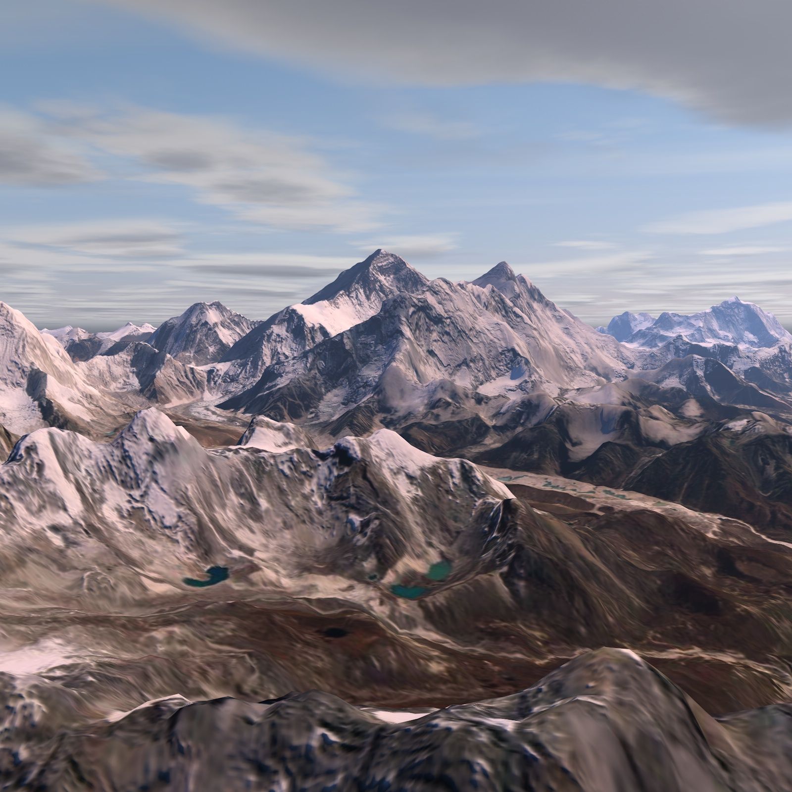
Accurate Mount Everest 3D Landscape Model - Captured with NASA Satellite Data
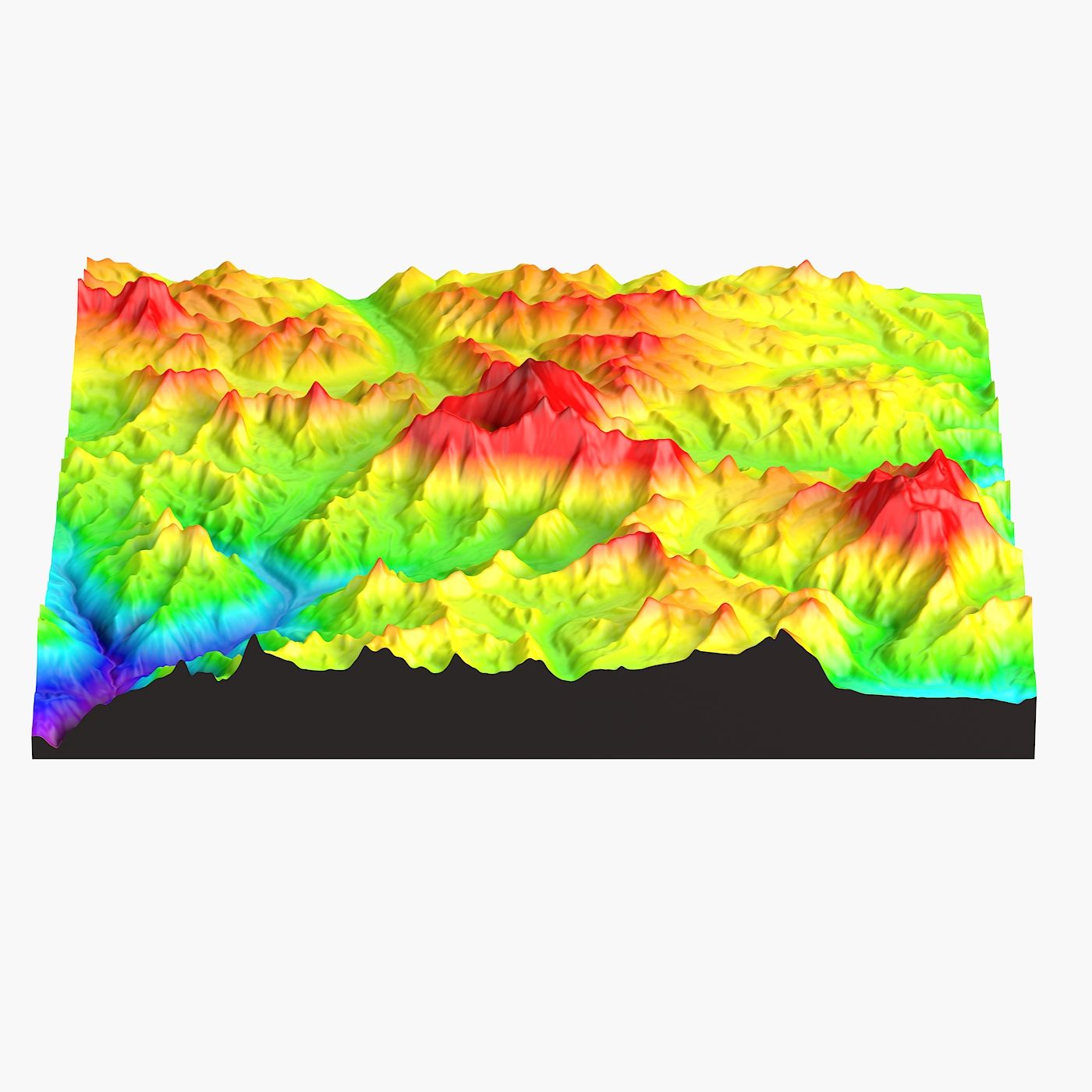
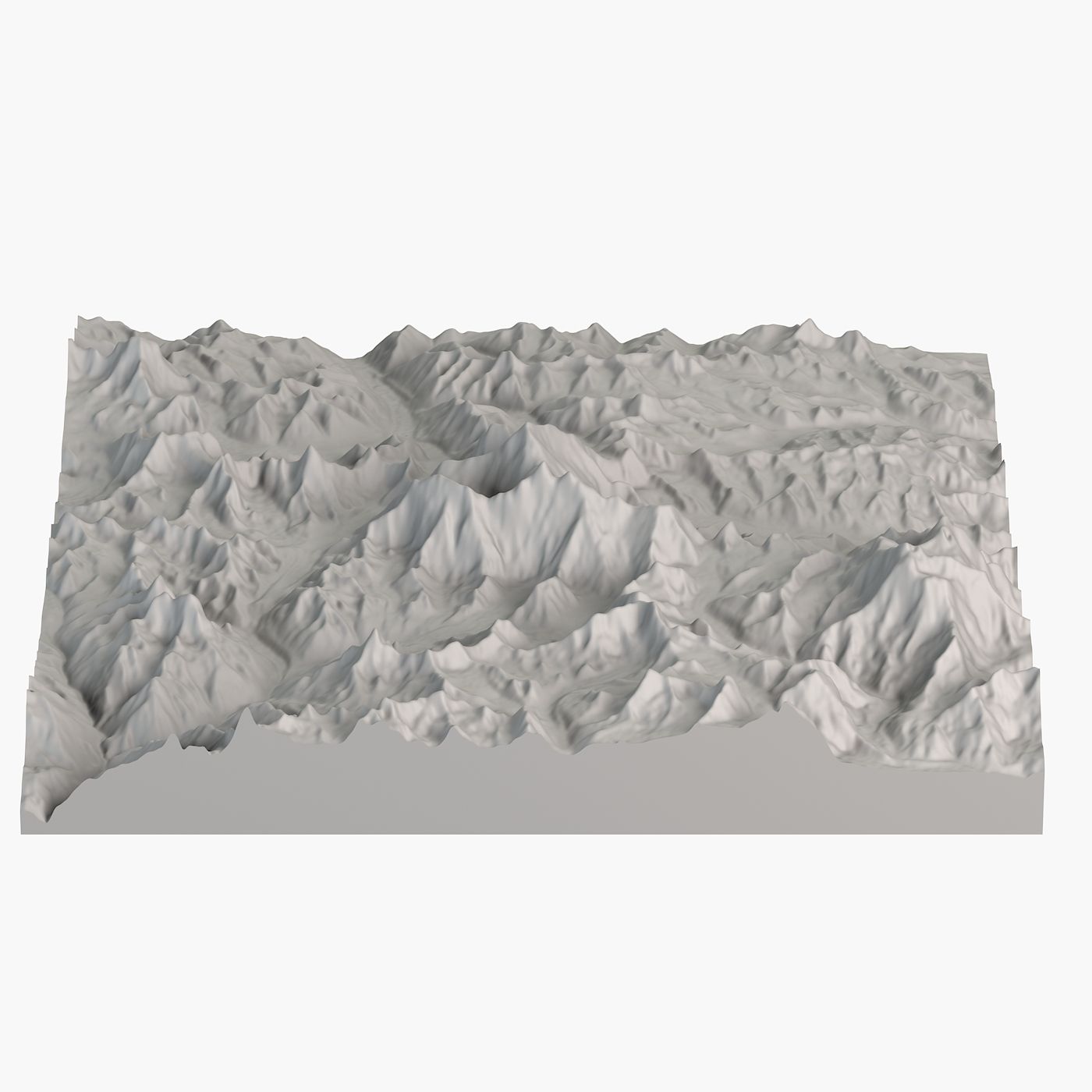
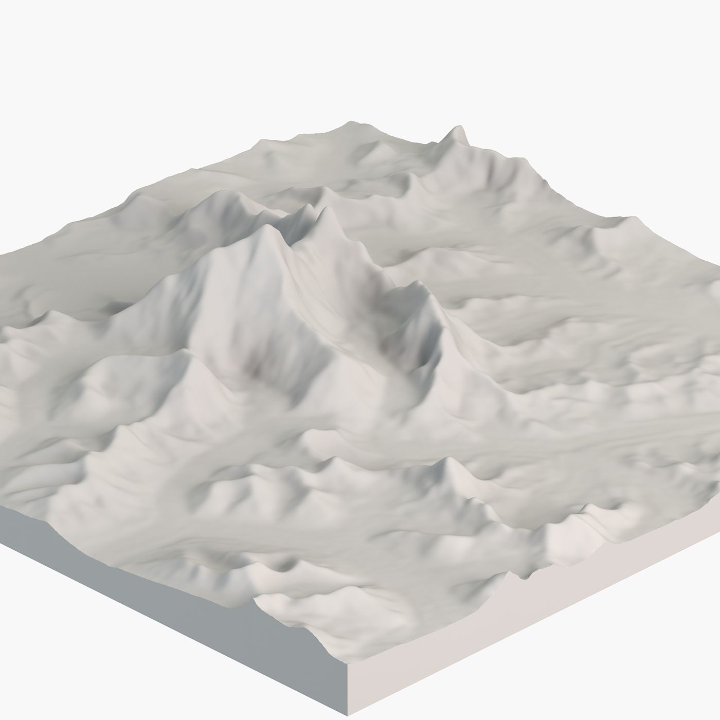
Mount Everest is Earth's highest mountain. This is accurate 3D model, that focuses on topography, elevation without any color maps. It could serve as a base, if you want to texture it.
Pack contents
• High-poly and low-poly versions of the model to suit your project needs.
• Height map based on NASA digital elevation data.
Geometry
• Polygons with 4 sides: 100%, Ngons or triangles: 0
• Clean topology.
• High-poly and low-poly versions of the model to suit your project needs.
Scene management
• Objects are logically named (following naming conventions) for ease of scene management.
• Scene is properly organized, layered. Gizmos are in correct position and asset is centered.
• The model is designed to be accurate. Real world dimensions are 24x24 km (14.912x14.912 miles).
• Models transforms were reset.
File formats
• 3ds Max
• 3DS • FBX
• OBJ
The model has been tested and verified to open across a variety of software platforms, including 3Ds Max, Maya, C4D, and more.
About us
Since 2014 we have been delivering high-quality 3D models for professional projects to clients worldwide.
Our models are created to meet high industry standards, ensuring quality and time savings for our customers.
评测
此产品当前没有评测。
为什么不做第一个评测者呢?