


珠穆朗玛峰景观 3D模型


规格
- 几何polygonal_quads/tris
- 多边形362,400
- 顶点363,601
- 纹理No
- 索具化No
- 动画No
- 适合3D打印No
- 适合游戏(低多边形)No
- UV映射Yes
- 未封装UVnone
描述
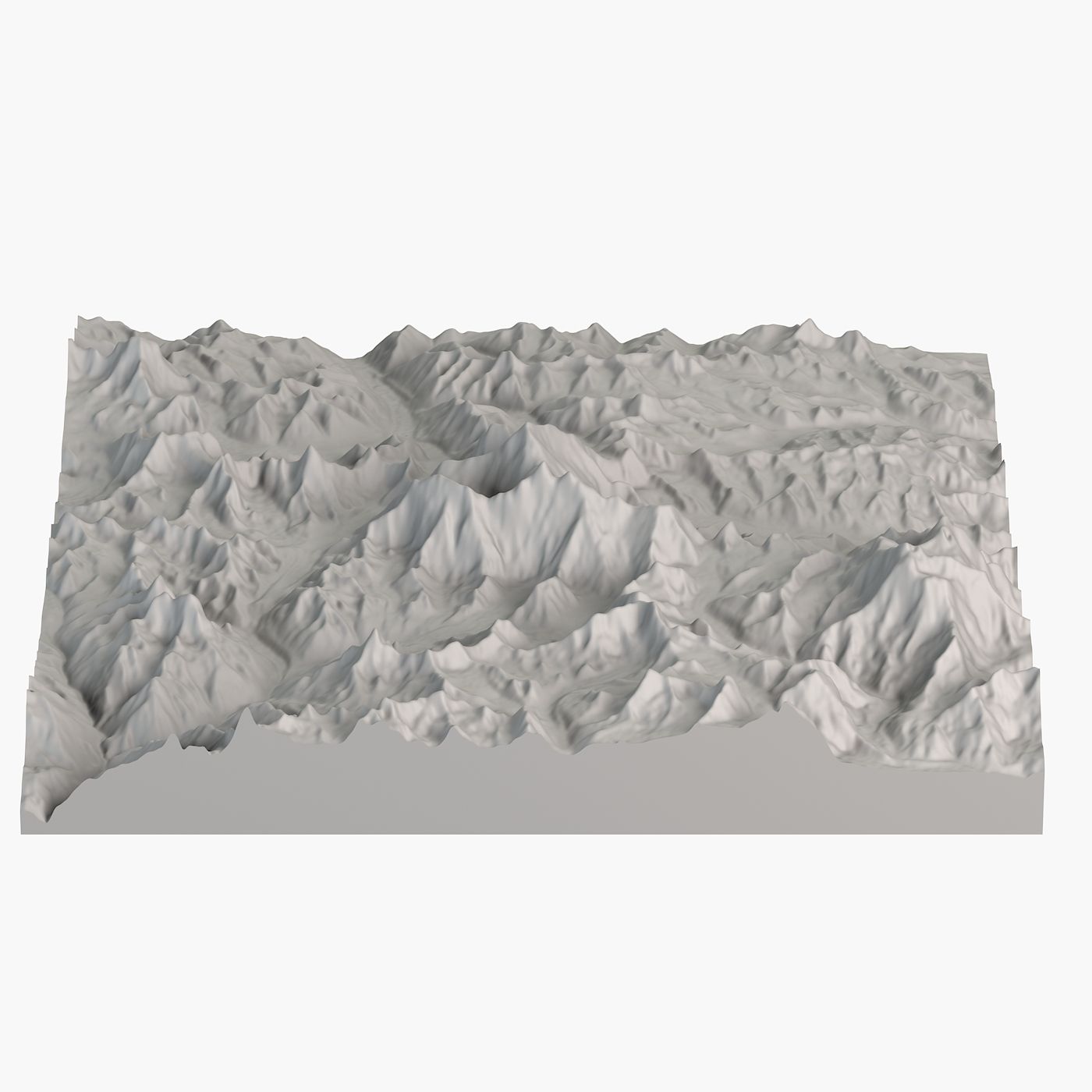
Mount Everest 3D Landscape Model: Crafted with NASA Satellite Data
Mount Everest is Earth's highest mountain. This is accurate topographical model of it.
Geometry
+ Polygons with 4 sides: 100%
+ Ngons or triangles: 0
+ Clean and optimized topology.
Scene management
+ Objects are logically named (following naming conventions) for ease of scene management.
+ Scene is properly organized, layered. Gizmos are in correct position and asset is centered.
+ The model is designed to be accurate. Real world scale.
+ Models transforms were reset.
File formats
+ 3ds Max
+ 3DS + FBX
+ OBJ
The model has been tested and verified to work across a variety of software platforms, including 3Ds Max, Maya, C4D, and more.
About
For a decade we have been delivering high-quality 3D models for professional projects to clients worldwide.
Our models are created to meet high industry standards, ensuring quality and cost savings for our customers.
We’re confident this asset will bring value to your creative projects.
Explore more of our high-quality models by visiting our full gallery on TurboSquid.
评测
此产品当前没有评测。
为什么不做第一个评测者呢?